The best road cycling routes around Pluvigner
4.3
(185)
7,227
riders
47
rides
Road cycling routes around Pluvigner offer diverse terrain in Brittany's Morbihan department. The region features a blend of coastal areas, ancient forests, and an extensive network of rivers, providing varied scenery for cyclists. Elevations range from 17 meters to 146 meters, creating distinctive landscape features. Many routes feature mostly paved surfaces, catering to various skill levels.
Best road cycling routes around Pluvigner
- The most popular road cycling route is Along the Stér en Istrec – Ria d'Etel via Mane Menego…
Last updated: June 29, 2026
23
riders
12.6km
00:35
130m
130m
Easy road ride. Great for any fitness level. Mostly well-paved surfaces and easy to ride.
5.0
(1)
18
riders
46.3km
02:00
300m
300m
Moderate road ride. Good fitness required. Mostly well-paved surfaces and easy to ride.

Sign up for free
16
riders
41.2km
01:46
220m
220m
Easy road ride. Great for any fitness level. Mostly well-paved surfaces and easy to ride.
3.0
(1)
13
riders
38.0km
01:46
310m
310m
Moderate road ride. Good fitness required. Mostly well-paved surfaces and easy to ride.
10
riders
27.0km
01:13
210m
210m
Easy road ride. Great for any fitness level. Mostly well-paved surfaces and easy to ride.
Get access to more routes and recommendations from other explorers.
Sign up for free
Already have an account?
Our route recommendations are based on thousands of hikes, rides, and runs completed by other people on komoot.
Start today with a free account
Your next adventure awaits.
Login or Signup
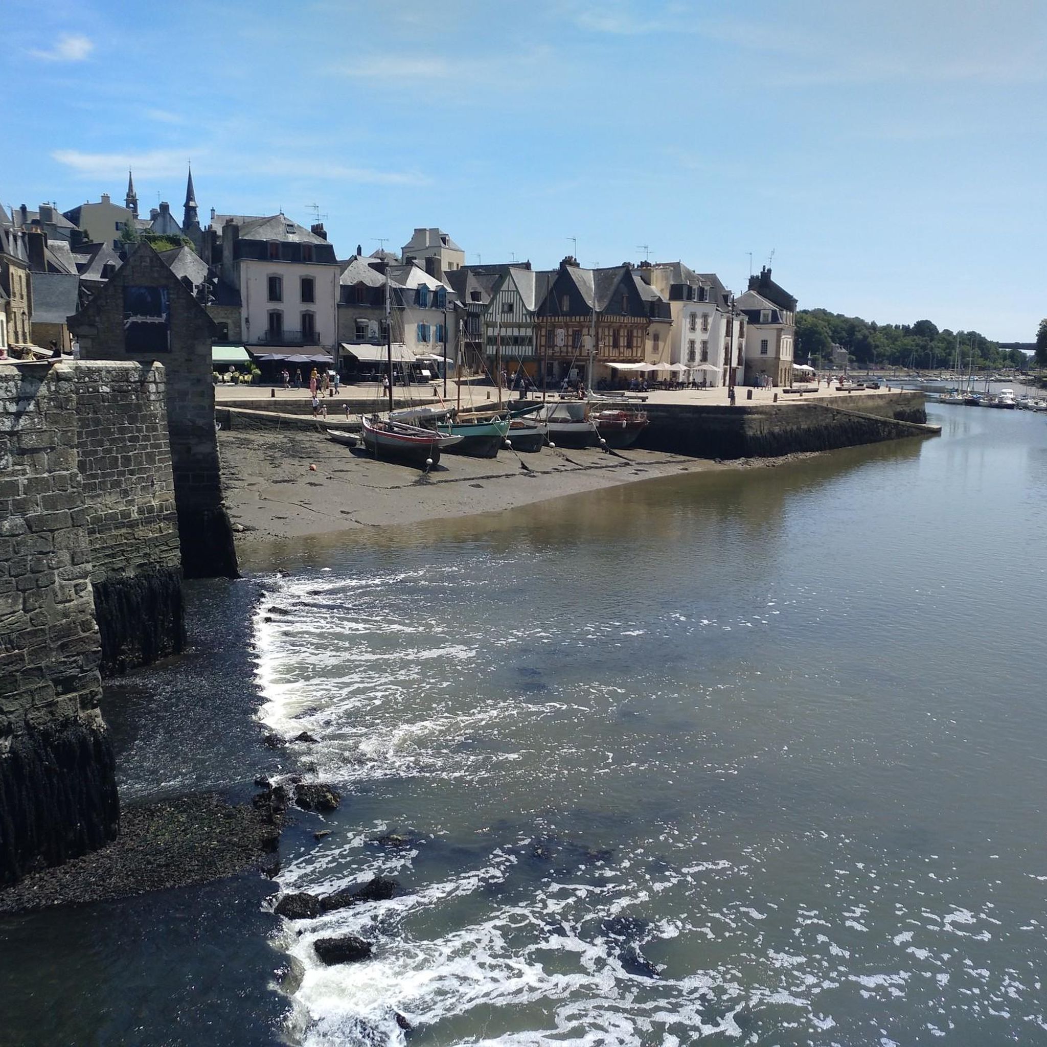
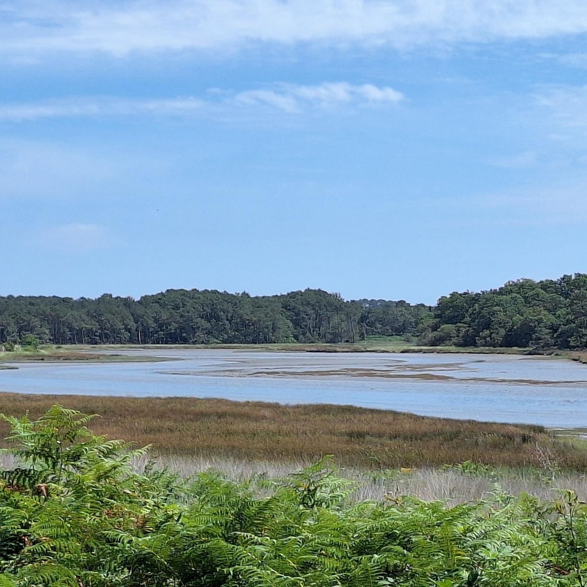
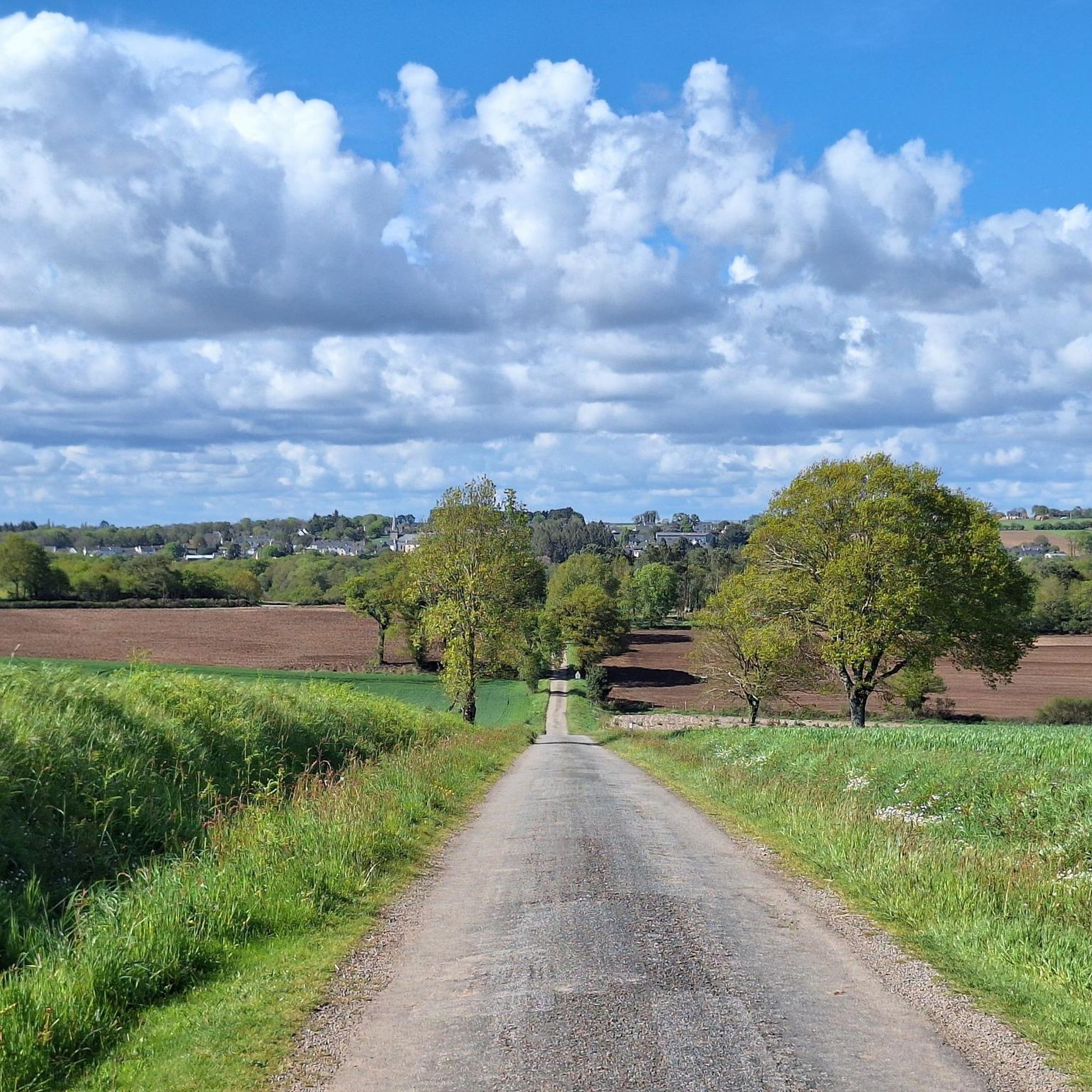

Tips from the Community

beautiful church
0
0

Côte de Tréauray: Beautiful rural coastline at the mouth of the Loc'h River, starting from Tréauray towards Saint-Anne d'Auray (The road conditions are not exceptional, however)
0
0

This memorial is extremely interesting because it depicts the blue uniform worn by French infantrymen during World War I. The introduction of the blue-grey uniform (known as "horizon blue" because it was believed to prevent soldiers from standing out against the skyline) had been approved by the French Chamber of Deputies on July 10, 1914, but a new issue was not possible until the outbreak of war a few weeks later.
0
0

Goats in a very steep meadow will only ask to say hello to you!
0
0

Beautiful church from the early 19th century. The interior is currently undergoing major renovation, which is a shame about the view of the magnificent stained glass windows. Jointed stone walls, a few statuettes of Saints.
0
0

The Saint-Tugdual church in Grand-Champ, in neo-Gothic style, has the shape of a Latin cross and is topped by an octagonal spire. The current church is a reconstruction in 1865 after the fall of the bell tower struck by lightning.
0
0
The village of Kerléguen is a picturesque hamlet nestled in the heart of green hills. It has a beautiful manor which can be visited in the summer and during the European Heritage Days.
0
0
Former residence of the rectors of Grand-Champ built in the 15th, 17th and 18th centuries. Visit of the interior and exterior possible in July-August and for the European Heritage Days.
1
0
Frequently Asked Questions
How many road cycling routes are available around Pluvigner?
There are over 40 road cycling routes available around Pluvigner on komoot. These routes cater to various skill levels, with 10 easy and 30 moderate options.
What is the terrain like for road cycling around Pluvigner?
The region around Pluvigner offers diverse terrain, characterized by a blend of sea and forest, an extensive network of rivers, and varied elevations ranging from 17 to 146 meters. Many routes feature mostly paved surfaces, making them suitable for road bikes. While some routes offer gentle rides, others, like the 'Corrigan Bridge loop' mentioned in regional research, can involve significant elevation gains for more experienced riders.
Are there road cycling routes suitable for beginners or families in Pluvigner?
Yes, Pluvigner offers routes suitable for beginners and families. There are 10 easy road cycling routes available. For example, the Nice little street – D 19 Bypass loop from La Madeleine is an easy 22.6-mile (36.4 km) route with moderate elevation, perfect for a relaxed ride.
Are there more challenging road cycling routes for experienced cyclists around Pluvigner?
Yes, for experienced cyclists seeking more challenge, there are 30 moderate road cycling routes around Pluvigner. These routes often feature more significant elevation changes and longer distances. The region's varied topography, with hills and valleys, provides opportunities for more demanding rides.
What landmarks or attractions can I see while cycling near Pluvigner?
While cycling near Pluvigner, you can explore various cultural and natural landmarks. The region is dotted with historic churches and chapels, such as the Chapelle de la Sainte Trinité and Chapelle Notre-Dame des Orties. You might also pass by châteaux like Château de Kerlois. For a unique stop, consider the Gaulish archaeological site at Talhouët. The Church and War Memorial – Beautiful mural loop from Pluvigner specifically passes by cultural landmarks.
Are there any historical sites to explore on a road cycling tour?
Absolutely. The area around Pluvigner is rich in history. You can visit numerous historic churches and chapels, many of which are designated historical monuments. Additionally, the Gaulish archaeological site at Talhouët offers a glimpse into ancient history. The Sainte-Anne d'Auray basilica is also nearby, offering a significant spiritual and historical stop.
Are there circular road cycling routes around Pluvigner?
Yes, many of the road cycling routes around Pluvigner are designed as loops, allowing you to start and end in the same location. For example, the popular Along the Stér en Istrec – Ria d'Etel via Mane Menego loop from Pluvigner is a 25.6-mile (41.2 km) circular route offering scenic views.
What do other road cyclists enjoy most about road cycling in Pluvigner?
The road cycling routes in Pluvigner are highly rated by the komoot community, with an average score of 4.2 stars from over 15 reviews. Cyclists often praise the diverse scenery, which blends coastal areas, ancient forests, and river networks, as well as the well-maintained paved surfaces suitable for road biking.
Where can I park my car to start a road cycling route in Pluvigner?
While specific parking locations for each trailhead are not detailed, Pluvigner is a commune with various starting points for routes. It's generally advisable to look for public parking areas within the town center or near known attractions, which often serve as convenient access points for cycling tours.
Is public transport available to access cycling routes around Pluvigner?
Pluvigner is a well-connected commune in Brittany. While direct public transport links specifically to trailheads might vary, regional bus services often connect to the town center, which can serve as a starting point for many routes. The Vannes – Sainte-Anne-d'Auray Greenway, though sometimes requiring dismounting, offers a beautiful layout and is accessible via public transport to nearby towns like Sainte-Anne-d'Auray.
Are there places to stop for refreshments or accommodation along the routes?
Pluvigner and the surrounding villages offer various amenities. You'll find cafes, pubs, and accommodation options in the main towns and some smaller villages along the routes. Planning your ride with komoot allows you to identify potential stops for refreshments or overnight stays.
What is the best time of year for road cycling in Pluvigner?
The region's climate, influenced by its proximity to the coast, generally offers pleasant conditions for road cycling. Spring and autumn typically provide mild temperatures and beautiful scenery, making them ideal. Summer can also be excellent, though it might be busier with tourists. Winter cycling is possible, but check local weather conditions for rain or colder temperatures.
Are there any cycling events in Pluvigner?
Yes, Pluvigner has a reputation as a cycling-friendly area and hosts events. For instance, 'La Pluvignoise' is a known cycling event in the region, underscoring its suitable terrain for road races. For specific dates and details, it's best to check local event listings or the official event website, such as velopressecollection.ouest-france.fr for 'La Pluvignoise'.
Most popular attractions around Pluvigner

Get inspired with the komoot mobile app


Explore more
Browse the best Road cycling routes in other regions.
