The best cycling routes around Nouaillé-Maupertuis
4.5
(92)
663
riders
32
rides
Touring cycling around Nouaillé-Maupertuis, located in the Vienne department of Nouvelle-Aquitaine, France, offers routes through serene river valleys and verdant woodlands. The area is characterized by its blend of natural landscapes, including the Miosson and Clain valleys, and historical sites. Cyclists can expect varied terrain, with passages through undergrowth and open countryside.
Best touring cycling routes around Nouaillé-Maupertuis
- The most popular touring cycling route is Château de Morthemer – View of the Wild Vienne River loop from Mignaloux-Nouaillé, a…
Last updated: August 26, 2026
5.0
(1)
7
riders
Hard bike ride. Very good fitness required. Mostly paved surfaces. Suitable for all skill levels.
3.5
(2)
9
riders
41.7km
02:58
210m
210m
Moderate bike ride. Good fitness required. Mostly paved surfaces. Suitable for all skill levels.

Sign up for free
5
riders
Moderate bike ride. Good fitness required. Mostly paved surfaces. Suitable for all skill levels.
5.0
(1)
4
riders
Easy bike ride. Great for any fitness level. Mostly paved surfaces. Suitable for all skill levels.
8
riders
149km
10:22
1,000m
1,000m
Hard bike ride. Very good fitness required. You may need to push your bike for some segments of this route.
Get access to more routes and recommendations from other explorers.
Sign up for free
Already have an account?
Our route recommendations are based on thousands of hikes, rides, and runs completed by other people on komoot.
Start today with a free account
Your next adventure awaits.
Login or Signup


Tips from the Community

The "Tours" at the beginning of the Henri IV bridge in Châtellerault are indeed a historic complex linked to the city's old fortifications. However, they must be distinguished from the three brick towers of the former Weapons Factory. The towers are located at the end of the Henri IV bridge, on the town side, and are a remnant of the defensive system that protected the crossing of the Vienne. Two round towers remain, on the Châteauneuf side. They once framed a monumental central pavilion, which may explain the name or the impression of a set of three towers. 🏰 The history of the Henri IV bridge towers 1. Towers already existed before the current bridge The crossing of the Vienne at Châtellerault is very old. In the Middle Ages, the bridge had a major strategic and economic function. At the end of the 15th century, a document already mentions two towers built on the Châteauneuf side and connected by a vault or a central structure. They were preceded by a drawbridge. It was therefore a true monumental gate giving access to the bridge. 🏛️ But there was much more than the two current towers This is probably the point that interests us. Originally, the entrance to the bridge on the Châteauneuf side comprised: - a round tower to the north; - a round tower to the south; between them, a central pavilion with - a monumental gate; - and a drawbridge allowing access to be closed. The central pavilion was demolished in 1824. The two towers, however, were preserved. Recent archaeological research has indeed made it possible to find the foundations of the central pavilion. 🔎 And there were also two other towers! The bridge was designed in a much more monumental way than we see today. At the other end of the bridge, on the town side, there were also two square towers. They disappeared later, notably because they hindered traffic. So originally there were four towers, two at each end, to which the central pavilion on the Châteauneuf side was added. 📷 A particularly interesting old photograph The Ministry of Culture holds an old photograph titled "Tour d’entrée" (Entrance Tower), taken by Georges-Louis Arlaud (1869-1944). It shows the complex at a time when both towers still existed with their ancient appearance. See the old photograph from the Ministry of Culture https://pop.culture.gouv.fr/notice/memoire/APHF002200?utm_source=chatgpt.com And here is an old postcard of the southern entrance tower, which allows us to see the towers at the beginning of the 20th century. https://www.geneanet.org/cartes-postales/view/7912977 📍 What can be seen today The two current towers are impressive: cylindrical stone towers, topped with conical slate roofs. They belong to the City of Châtellerault, while the bridge itself is under the jurisdiction of the Department of Vienne. Interesting point: contrary to what their military appearance might suggest, these towers did not primarily have a military defense function. They were notably used for controlling entrances and, at certain periods, for sanitary control or the collection of passage tolls.
0
0

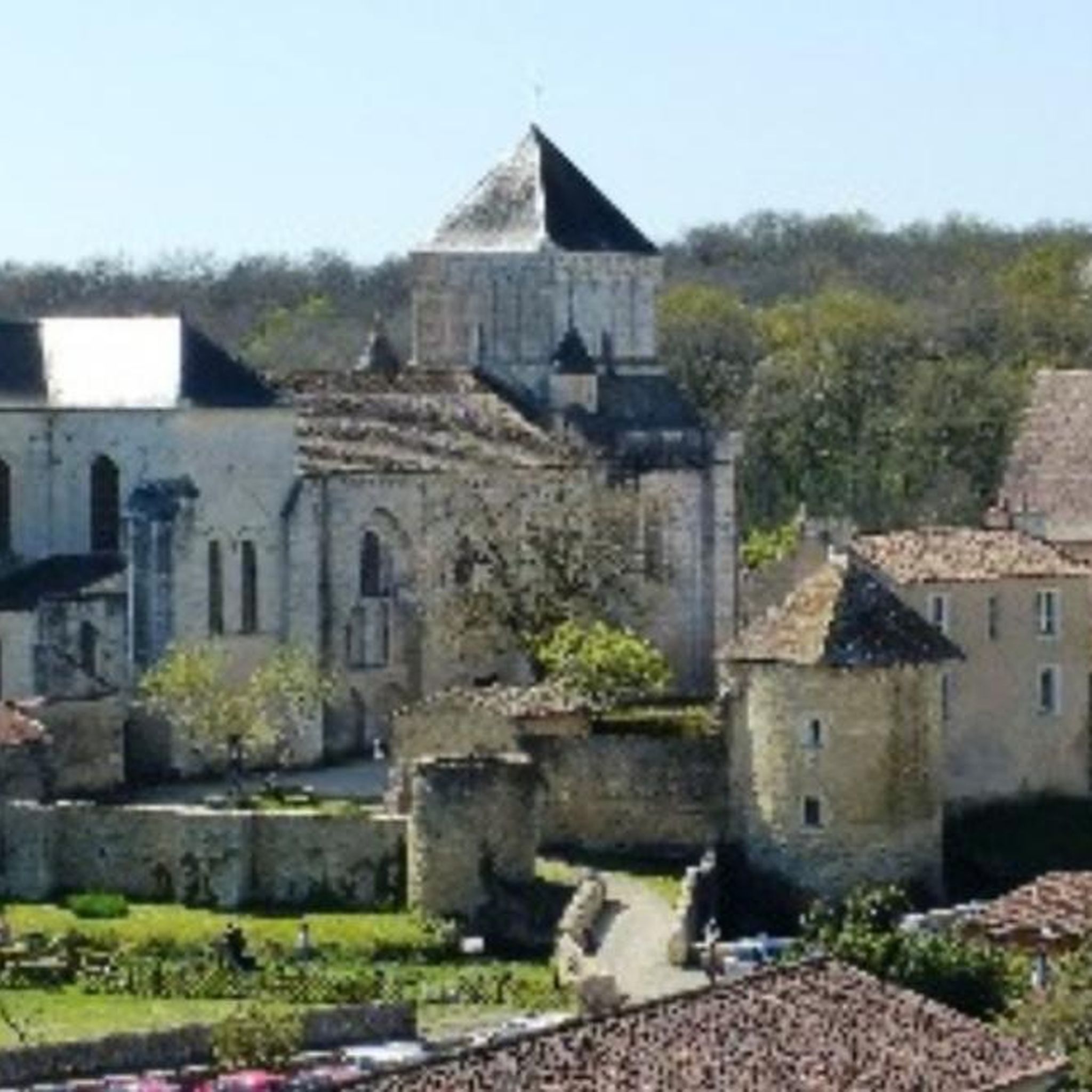
Pretty village and impressive castle
0
0


Still as beautiful!
0
0
Very close to Poitiers, very pleasant
0
0
Frequently Asked Questions
What types of touring cycling routes can I find in Nouaillé-Maupertuis?
Nouaillé-Maupertuis offers a diverse range of touring cycling routes, catering to various skill levels. You'll find over 30 routes, including 15 easy, 15 moderate, and 3 difficult options. These routes traverse serene river valleys, verdant woodlands, and historical sites, providing varied terrain and scenic views.
Are there any easy touring cycling routes suitable for beginners or families?
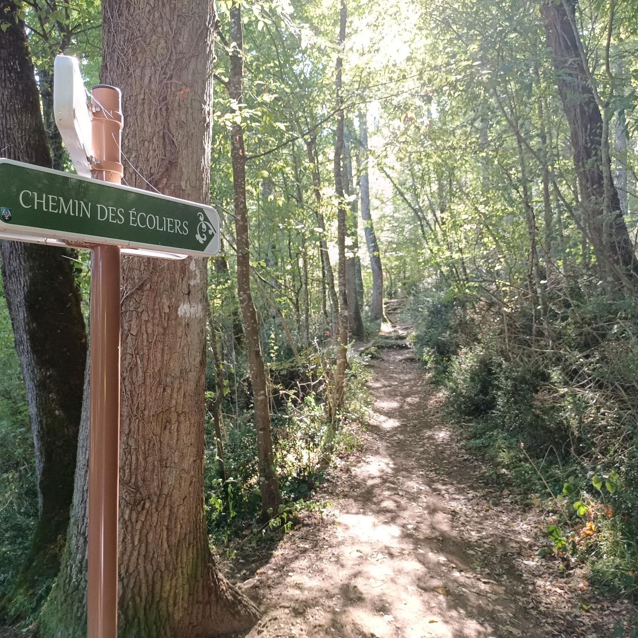
Yes, there are several easy touring cycling routes perfect for beginners or families. One such route is the Schoolchildren's paths – View of Nouaillé Abbey loop from Mignaloux-Nouaillé, which is 16.8 km long and offers a pleasant ride through the local landscape, including views of the historic Abbey.
What kind of terrain can I expect on the touring cycling routes around Nouaillé-Maupertuis?
The terrain around Nouaillé-Maupertuis is varied, featuring passages through undergrowth, open countryside, and along river valleys. Many routes include mostly paved surfaces, making them accessible for various bikes, while some segments may be unpaved, offering a more natural experience.
Are there any routes that pass by historical landmarks or points of interest?
Absolutely. Many routes highlight the region's rich history. For instance, the View of Nouaillé Abbey loop from Nouaillé-Maupertuis offers views of the impressive Abbaye Saint-Junien de Nouaillé-Maupertuis. You can also explore other historical sites like Le Moulin de la Norée along various paths.
Can I find circular touring cycling routes in the area?
Yes, most touring cycling routes in Nouaillé-Maupertuis are designed as loops, allowing you to start and end at the same point. An example is the Schoolchildren's paths – Forest road loop from Nouaillé-Maupertuis, a moderate 28.1 km route that takes you through local woodlands.
What are the natural features or scenic viewpoints I can discover while cycling?
The region is known for its serene river valleys, particularly the Miosson and Clain, and verdant woodlands. Cyclists can enjoy panoramic views, such as those from The Dunes Panorama, and discover natural sites like Tison Islet, a small natural wetland.
What do other touring cyclists say about the routes in Nouaillé-Maupertuis?
The touring cycling routes in Nouaillé-Maupertuis are highly regarded by the komoot community, with an average rating of 4.6 stars from over 90 reviews. Cyclists often praise the varied terrain, the blend of natural beauty and historical sites, and the well-maintained paths.
Is there a particularly challenging touring cycling route for experienced riders?
For experienced touring cyclists seeking a challenge, the Château de Morthemer – View of the Wild Vienne River loop from Mignaloux-Nouaillé is a difficult 191.1 km route. It offers extensive views of the Vienne River and significant elevation changes, making it a demanding yet rewarding ride.
What is the best time of year to go touring cycling in Nouaillé-Maupertuis?
The region's climate makes spring and autumn particularly pleasant for touring cycling, with milder temperatures and beautiful natural scenery. Summer can also be enjoyable, especially when cycling through shaded woodlands along the river valleys. Winter cycling is possible, though conditions may vary.
Are there any routes that specifically explore the woodlands of Nouaillé-Maupertuis?
Yes, many routes lead through the picturesque woodlands. The View of Nouaillé Abbey – Forest road loop from Mignaloux-Nouaillé is a moderate 41.7 km trail that takes you through forest roads, offering a serene cycling experience amidst the trees.
Are there options for parking at the starting points of the cycling routes?
While specific parking details for each route's starting point are best checked on the individual tour pages, many routes around Nouaillé-Maupertuis originate from or pass through towns and villages where public parking is generally available. For routes starting from Nouaillé-Maupertuis itself, you can typically find parking within the commune.
Most popular routes around Nouaillé-Maupertuis
Most popular attractions around Nouaillé-Maupertuis

Get inspired with the komoot mobile app


Explore more
Browse the best Cycling routes in other regions.
