The best road cycling routes around Martigna
4.8
(99)
2,608
riders
117
rides
Road cycling around Martigna features routes that navigate through a landscape characterized by significant lakes, such as Lac de Vouglans, and the surrounding hilly terrain. The region includes various passes and dams, indicating a mix of ascents and descents. Road cyclists can expect to encounter forested areas and open views over water bodies. The terrain offers a range of challenges, from moderate climbs to more demanding ascents over passes.
Best road cycling routes around Martigna
- The most popular road cycling…
Last updated: June 28, 2026
4.8
(8)
106
riders
42.4km
01:56
420m
420m
Moderate road ride. Good fitness required. Some segments of this route may be unpaved and difficult to ride.
5.0
(1)
42
riders
161km
08:28
2,570m
2,570m
Hard road ride. Very good fitness required. Some segments of this route may be unpaved and difficult to ride.

Sign up for free
24
riders
164km
08:59
3,000m
3,000m
Hard road ride. Very good fitness required. Some segments of this route may be unpaved and difficult to ride.
24
riders
95.9km
05:23
2,060m
2,060m
Hard road ride. Very good fitness required. Mostly well-paved surfaces and easy to ride.
16
riders
91.1km
04:43
1,560m
1,560m
Hard road ride. Very good fitness required. Mostly well-paved surfaces and easy to ride.
Get access to more routes and recommendations from other explorers.
Sign up for free
Already have an account?
Our route recommendations are based on thousands of hikes, rides, and runs completed by other people on komoot.
Start today with a free account
Your next adventure awaits.
Login or Signup

Tips from the Community

pretty small stone viaduct with 2 superimposed lanes, one for cars with 6 arches and one for the train with 11 arches. Atypical.
0
0
pretty little stone viaduct with 2 superimposed lanes, one for cars with 6 arches and one for the train with 11 arches. Atypical.
0
0
The bridge separates two departments, the Jura and the Ain. "Iron bridge. For several centuries, the Ain was crossed at Thoirette by means of a ferry, known as the bac de Christouphe, the name of the commune where the passenger resided. From 1808 to 1811, the riparian communes clubbed together to build a bridge in place of this ferry. The project had been drawn up by Mr. Cordier, of Orgelet, an engineer then in charge of the direction of the Simplon road works. Various obstacles opposed the execution of this work. It was only in 1829 that an iron bridge was built, which collapsed in 1843. The department of Ain has just replaced it with an iron bridge currently open to traffic". Statistique de la France - 1855 - Ministère de l'Agriculture par Imprimerie Impériale à Paris - p53.
0
0

A must-see in Ain! It’s a chance to experience some elevation gain!
0
0
Pretty little viaduct which is a real must-see!
0
0

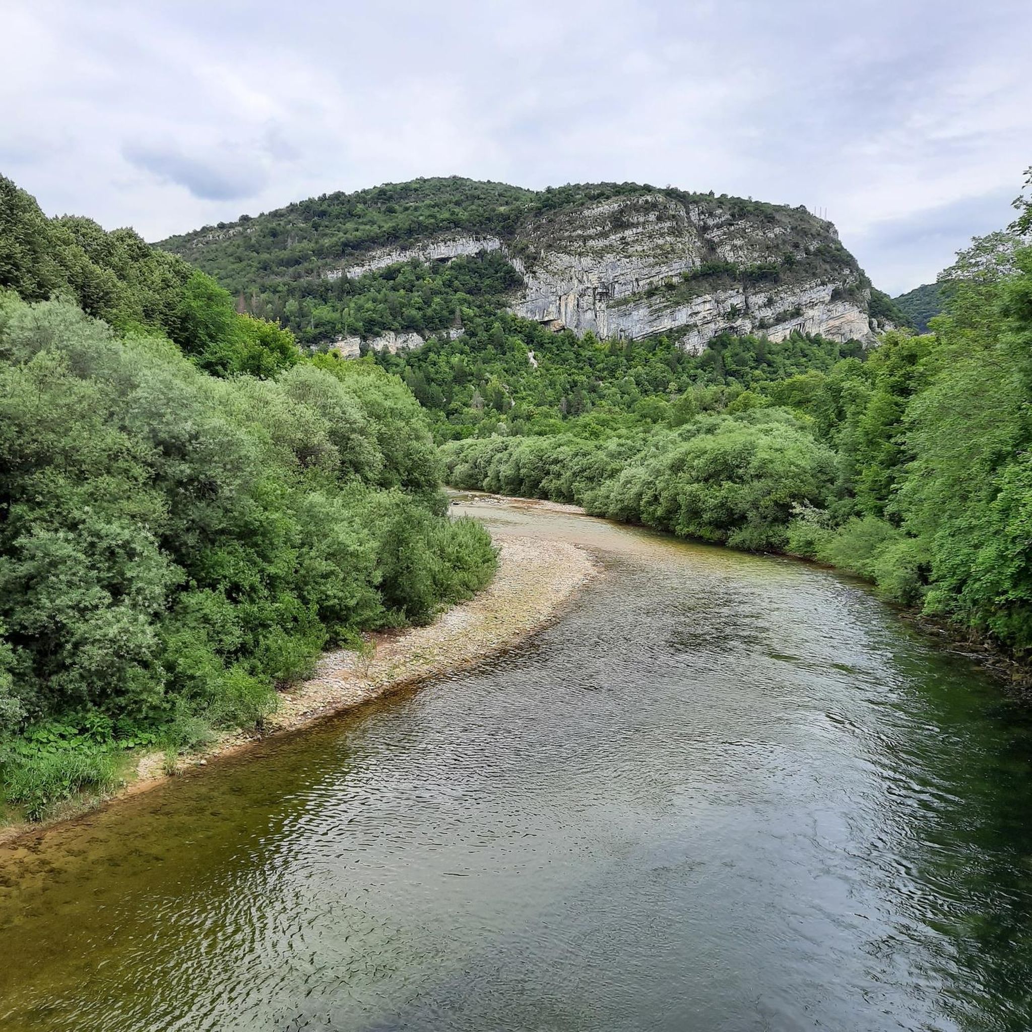
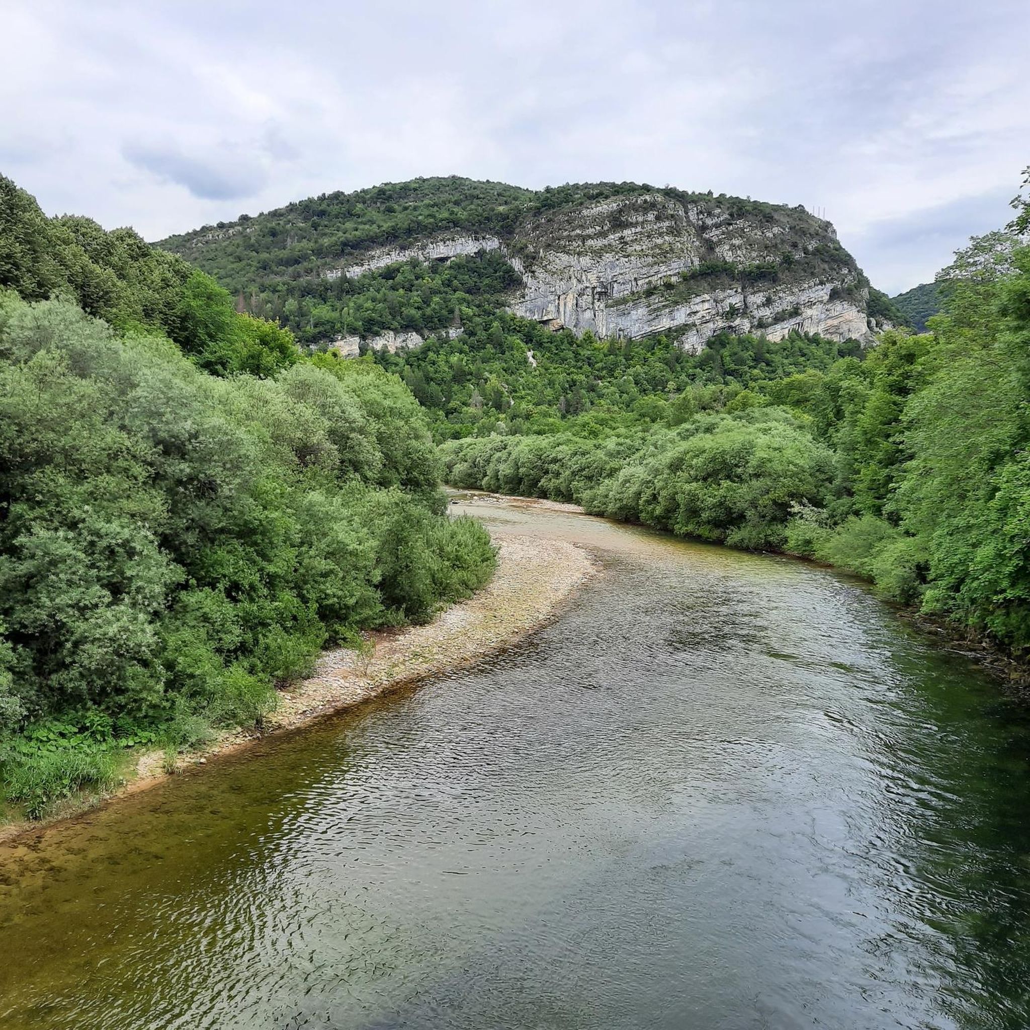
A must-see on the banks of the Ain
0
0

Frequently Asked Questions
How many road cycling routes are available around Martigna?
There are over 100 road cycling routes around Martigna, offering a diverse range of experiences. You'll find options from moderate loops to challenging long-distance routes with substantial elevation gain.
What kind of terrain can I expect on road cycling routes around Martigna?
Road cycling around Martigna features routes that navigate through a landscape characterized by significant lakes, such as Lac de Vouglans and Lac de Coiselet, and the surrounding hilly terrain. You can expect a mix of ascents and descents over various passes and around dams, often with views over water bodies and through forested areas.
Are there challenging road cycling routes in Martigna?
Yes, Martigna offers numerous challenging road cycling routes. Over 50 routes are classified as difficult, featuring significant elevation gain. For example, the Lac de Vouglans — loop from Moirans-en-Montagne is a difficult 55.6 km trail with over 940 meters of elevation gain. Another demanding option is the View of Lake Vouglans – Thoirette on the Ain River loop from Villards-d'Héria, a 159.7 km route with over 2500 meters of climbing.
Are there any circular road cycling routes around Martigna?
Yes, many road cycling routes in Martigna are designed as loops. Popular circular routes include the Vouglans Dam – Lac de Coiselet loop from Cernon, which is a moderate 43.6 km path, and the more challenging Crozatons Pass – Lect Climb loop from Villards-d'Héria, covering nearly 96 km.
What are some scenic viewpoints or landmarks I can see while cycling in Martigna?
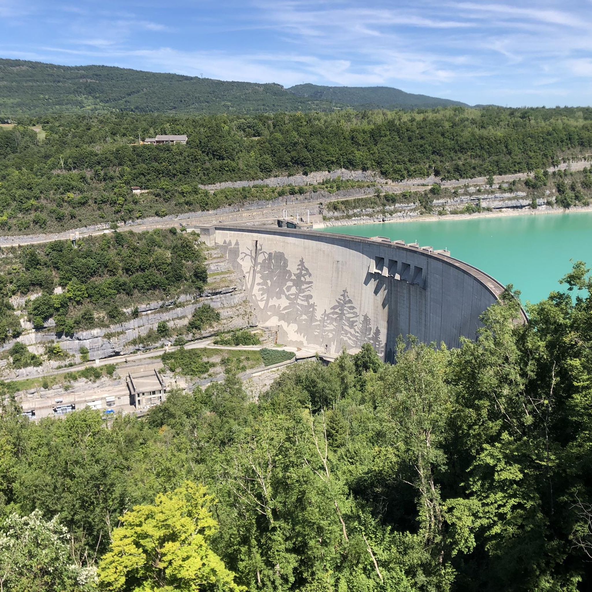
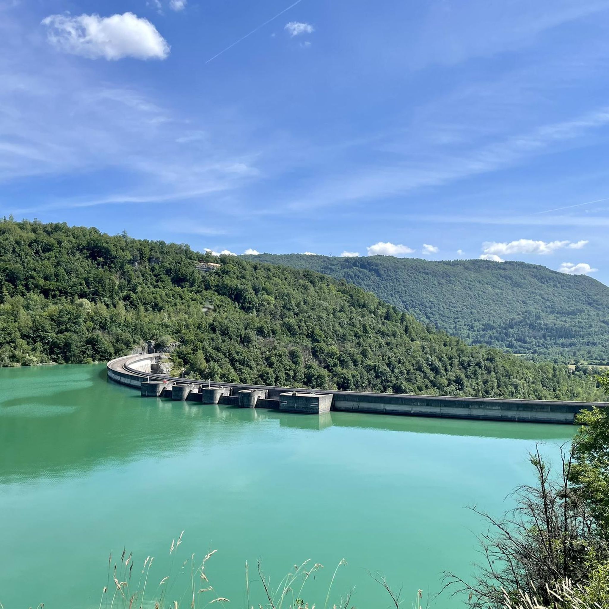
The region around Martigna offers several scenic viewpoints and landmarks. You can enjoy stunning vistas from La Fratte Viewpoint and Chancia Viewpoint. Other notable attractions include the impressive Vouglans Dam, the historic Oliferne Castle Ruins, and the serene Saint Romain de Roche Chapel.
Are there any waterfalls along the road cycling routes in Martigna?
Yes, you can encounter natural features like waterfalls in the Martigna area. The Moulin de Vulvoz Waterfall is one such attraction that can be explored near some of the cycling routes.
What do other road cyclists enjoy most about road cycling in Martigna?
The road cycling routes in Martigna are highly rated by the komoot community, with an average score of 4.8 stars from over 80 reviews. Cyclists often praise the diverse terrain, the beautiful lake views, and the challenging climbs that make for a rewarding experience.
What is the best time of year for road cycling in Martigna?
Given the region's characteristics with passes and hilly terrain, the best time for road cycling in Martigna is typically from late spring to early autumn. During these months, the weather is generally more favorable, and the higher passes are clear of snow, offering optimal conditions for exploring the diverse routes.
Are there any routes that offer views of Lac de Vouglans?
Absolutely. Lac de Vouglans is a central feature of the region, and many routes offer stunning views of the lake. The Vouglans Dam – View of Lac de Vouglans loop from Villards-d'Héria is a particularly scenic route that highlights the lake and the dam.
Can I find routes that combine lake views with river sections?
Yes, some routes in Martigna offer a combination of lake views and river sections. For instance, the View of Lake Vouglans – Thoirette on the Ain River loop from Villards-d'Héria leads through varied terrain, including expansive lake views and picturesque sections along the Ain River.
What are the options for moderate road cycling routes in Martigna?
Martigna offers a good selection of moderate road cycling routes, with nearly 50 options available. A popular choice is the Vouglans Dam – Lac de Coiselet loop from Cernon, a 43.6 km path that provides beautiful views without the extreme difficulty of the more challenging climbs.
Most popular attractions around Martigna

Get inspired with the komoot mobile app


Explore more
Browse the best Road cycling routes in other regions.
