The best road cycling routes around Farges
4.4
(145)
3,849
riders
147
rides
Road cycling around Farges offers diverse terrain, characterized by river valleys, significant climbs, and views of surrounding mountain ranges. The region features a network of country roads that traverse varied landscapes, including areas near canals and dams, alongside routes ascending to mountain passes. Cyclists can expect a mix of flat sections along waterways and challenging ascents, providing a range of experiences for different skill levels.
Best road cycling routes around Farges
- The most popular road cycling route is Savière Canal…
Last updated: August 21, 2026
3.5
(2)
134
riders
42.5km
01:51
360m
360m
Moderate road ride. Good fitness required. Mostly well-paved surfaces and easy to ride.
4.3
(3)
64
riders
56.6km
02:31
580m
580m
Moderate road ride. Good fitness required. Mostly well-paved surfaces and easy to ride.

Sign up for free
14
riders
64.2km
02:48
580m
580m
Moderate road ride. Good fitness required. Some segments of this route may be unpaved and difficult to ride.
16
riders
28.5km
01:29
440m
440m
Moderate road ride. Good fitness required. Mostly well-paved surfaces and easy to ride.
8
riders
15.4km
00:46
210m
210m
Easy road ride. Great for any fitness level. Mostly well-paved surfaces and easy to ride.
Get access to more routes and recommendations from other explorers.
Sign up for free
Already have an account?
Our route recommendations are based on thousands of hikes, rides, and runs completed by other people on komoot.
Start today with a free account
Your next adventure awaits.
Login or Signup


Tips from the Community

This bridge is also called the “Viaduc de Cartigny”, in reference to the village of Cartigny which is located on the right bank of the bridge.
0
0
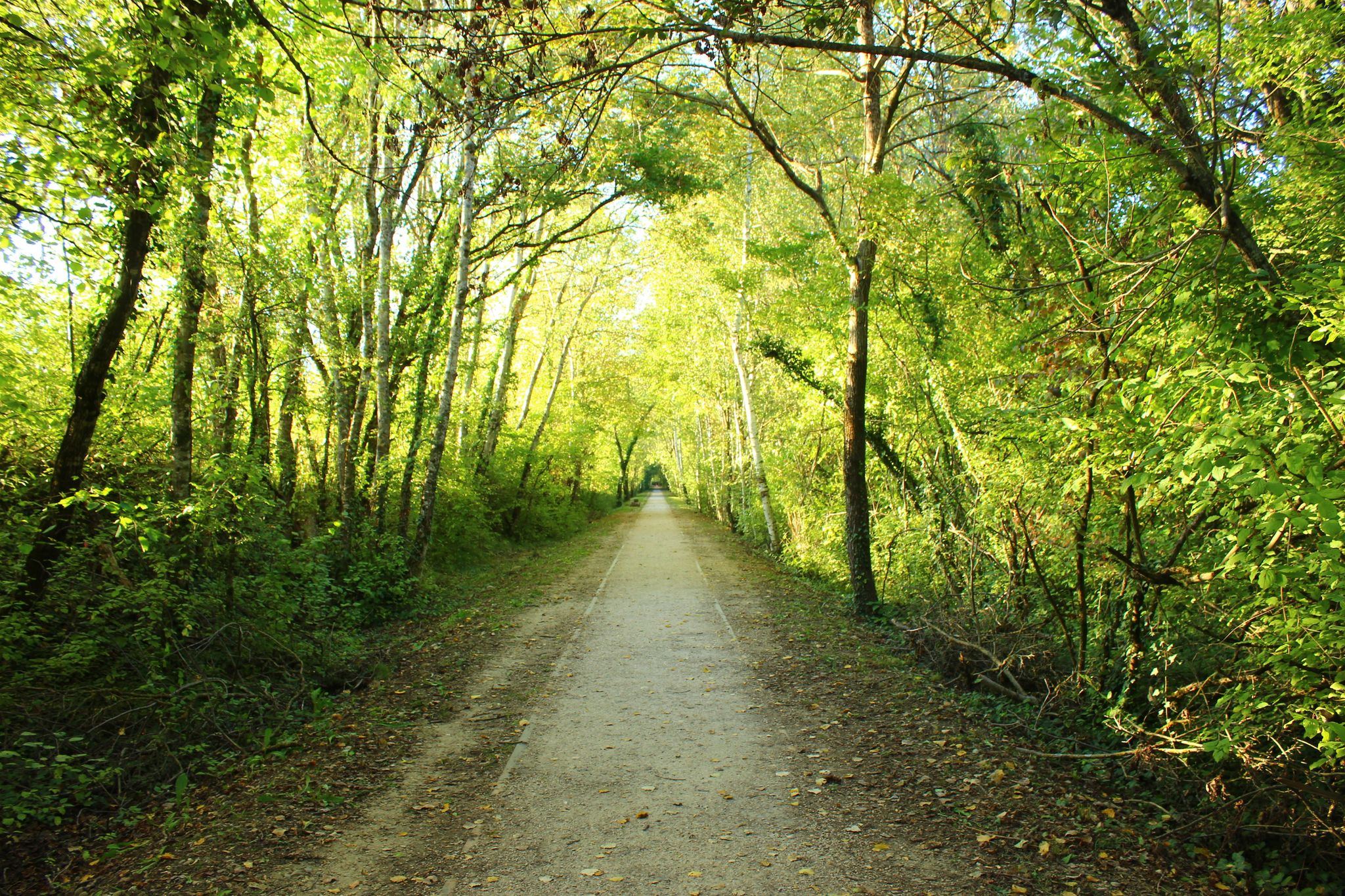
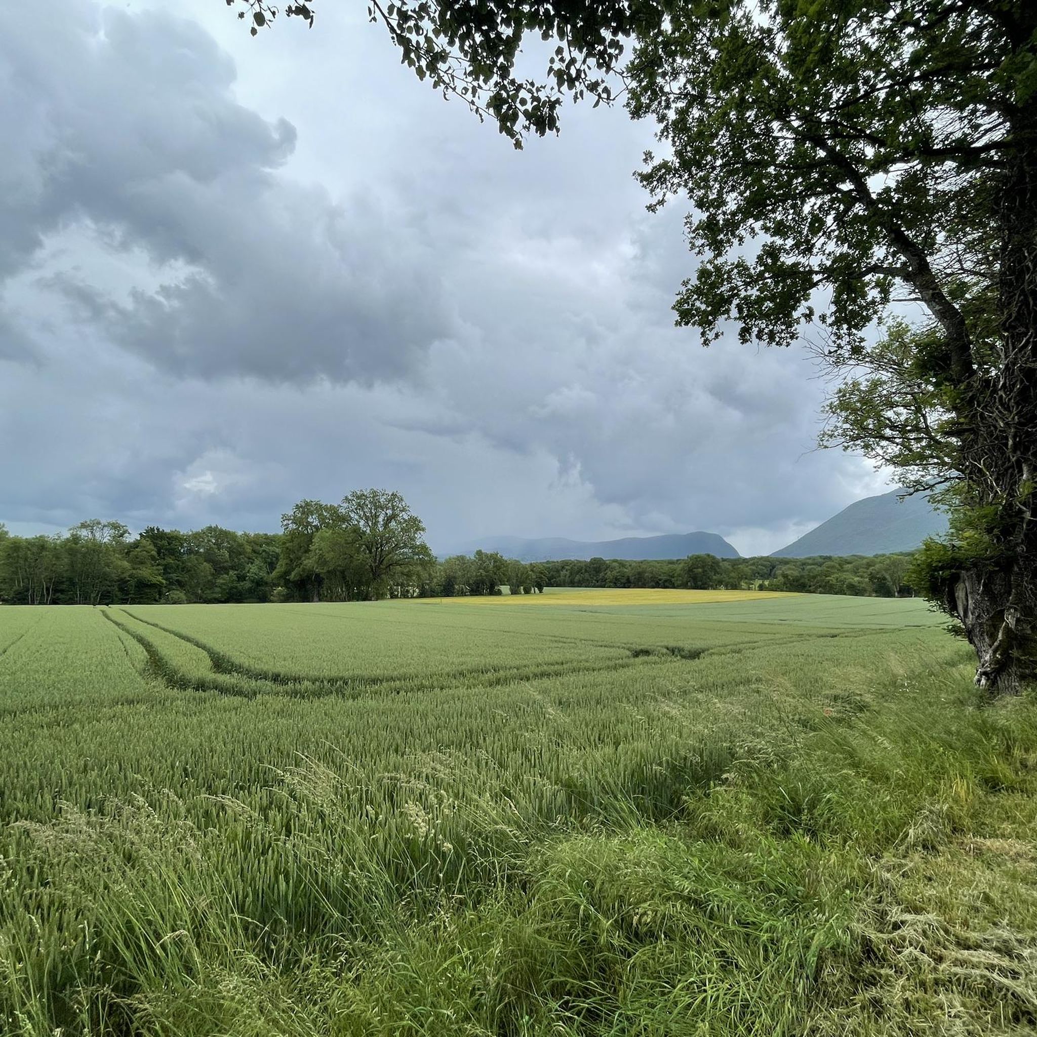
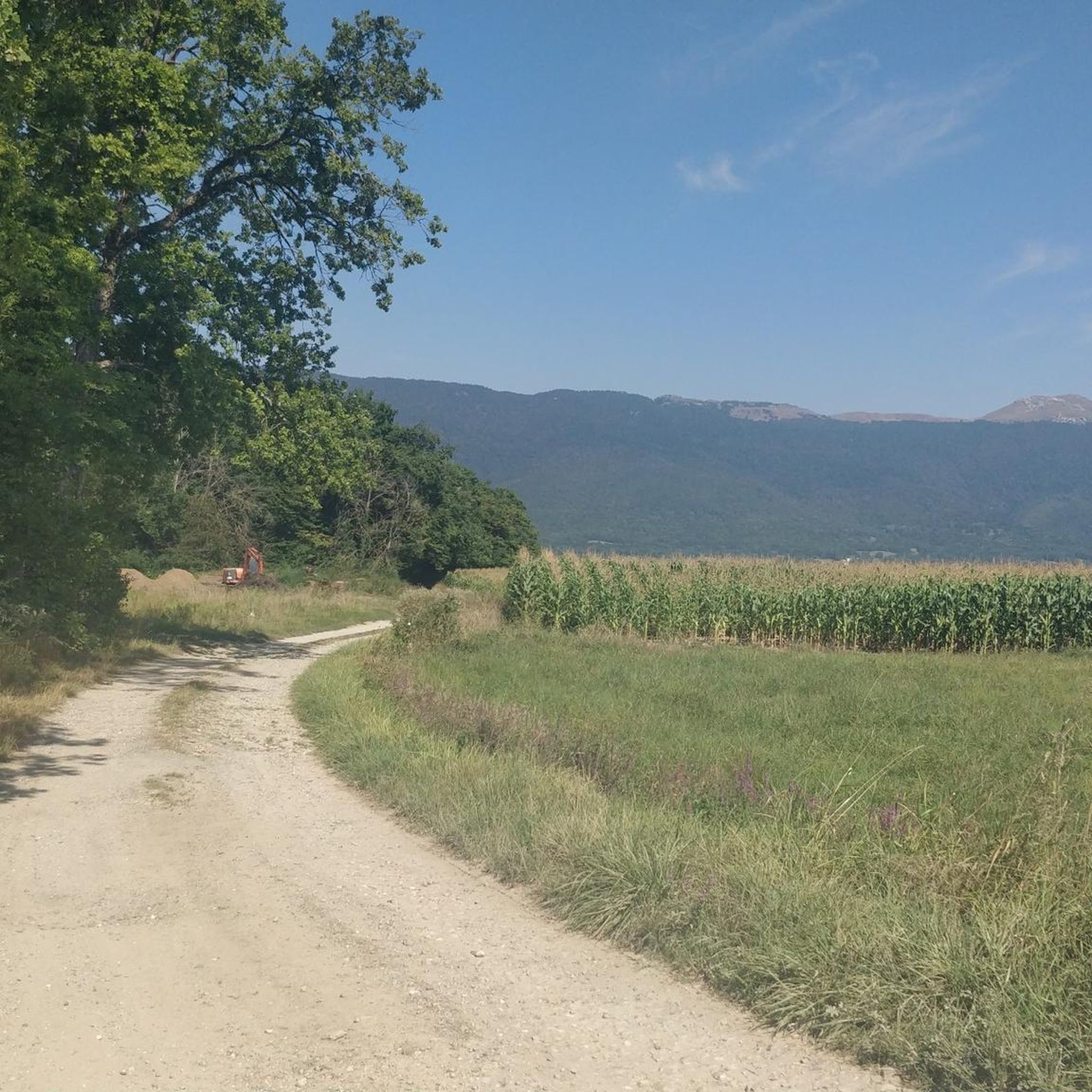
A very gentle descent with many false flats, the landscape is magnificent and varied. We also cross a small forest which can be a little dark.
0
0
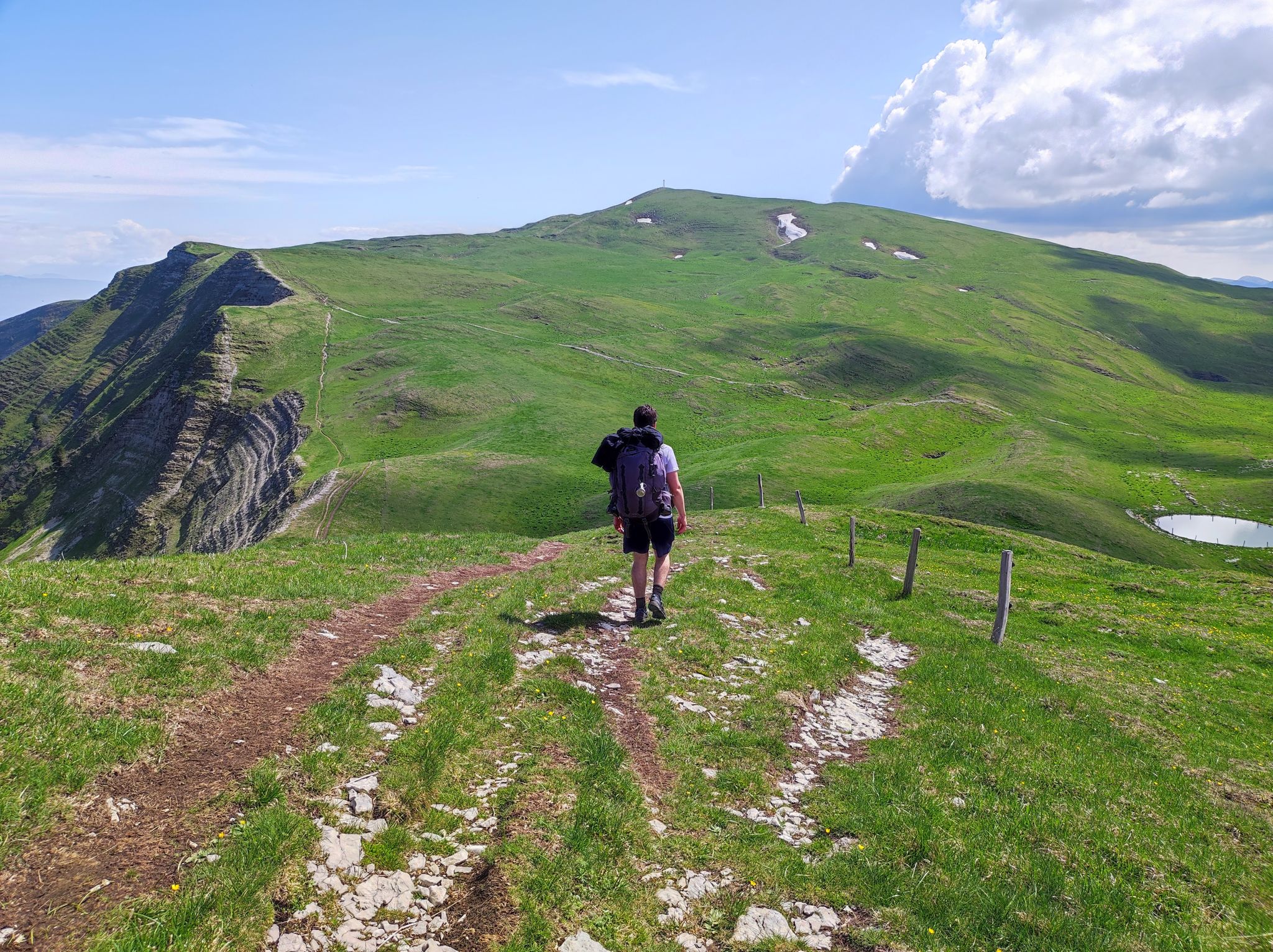
A road with views of the Jura, Geneva, Mont Blanc, and Salève, right in the heart of the Pays de Gex. I even happened to spot deer at the edge of the woods.
0
0


go on the pedestrian sidewalk! you'll wait hours other way...
0
0
The Lac des Vernes is a rainwater retention basin in Meyrin. This lake's function is to regulate the floods of the Nant-d'Avril. It was inaugurated on June 10, 2017.
0
0
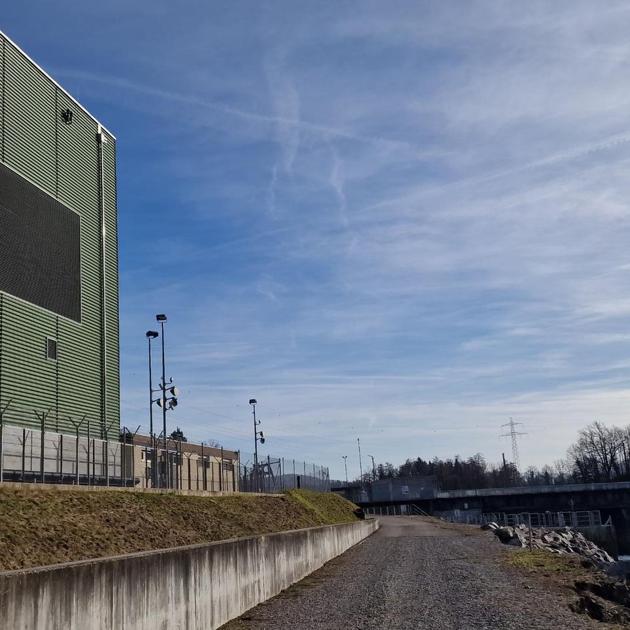
The Chancy Bridge is the seventeenth bridge furthest downstream on the Rhone after its exit from Lake Geneva and the last on Swiss territory. It connects the towns of Chancy on the left bank and Pougny on the right bank. The border runs through the middle of the Rhone. The customs posts, now disused, are located on either side of the bridge.
0
0

And now on with Switzerland Mobil 1 Rhône Route
0
0
Frequently Asked Questions
How many road cycling routes are available around Farges?
Farges offers a wide selection of road cycling routes, with over 140 tours available. These routes cater to various skill levels, from moderate rides to challenging ascents through river valleys and mountain passes.
What kind of terrain can I expect when road cycling in Farges?
Road cycling around Farges features diverse terrain, including river valleys, significant climbs, and views of surrounding mountain ranges. You'll find a network of country roads traversing varied landscapes, including sections near canals and dams, alongside routes ascending to mountain passes. Expect a mix of flat sections along waterways and challenging ascents.
What are the difficulty levels of road cycling routes in Farges?
The routes in Farges cater to a range of abilities. There are 9 easy routes, 74 moderate routes, and 66 difficult routes. This variety ensures that both beginners and experienced cyclists can find suitable challenges.
What do other cyclists say about road cycling in Farges?
The road cycling routes in Farges are highly rated by the komoot community, with an average score of 4.4 stars from over 120 reviews. Cyclists often praise the varied terrain, from river valleys to challenging mountain passes, and the scenic viewpoints, including distant views of Mont Blanc.
Are there any circular road cycling routes in Farges?
Yes, many routes around Farges are designed as loops. For example, the Savière Canal – Canal de Savières Road loop from Pougny-Chancy is a popular 73.6-mile (118.4 km) loop, and the Peissy Village – Verbois Dam loop from Pougny-Chancy offers a moderate 28.5-mile (45.9 km) ride through villages and along water features.
Are there routes suitable for beginners or less experienced road cyclists?
While Farges is known for its challenging ascents, there are 9 routes classified as easy, and 74 as moderate, offering options for less experienced riders. These routes often feature flatter sections along waterways, providing a more relaxed cycling experience.
What are some challenging road cycling routes for experienced riders?
Experienced riders seeking a challenge can explore routes with significant elevation gain. The Le Pailly Viewpoint – Col de la Faucille (1323 m) loop from Pougny-Chancy is a difficult 46.4-mile (74.6 km) trail leading through mountainous terrain. Another demanding option is the Panoramic view of Mont Blanc🤩!!! – Château des Avenières loop from Pougny-Chancy, which covers 60.8 miles (97.8 km) with substantial climbing.
Are there road cycling routes with scenic viewpoints or landmarks?
Absolutely. Many routes offer stunning views, including distant panoramas of Mont Blanc. The Le Pailly Viewpoint – Col de la Faucille (1323 m) loop from Pougny-Chancy specifically highlights a viewpoint. You can also find routes that pass by historical landmarks like Fort l'Écluse or offer views of castles such as Château d'Arcine.
Can I find routes that pass by natural attractions?
Yes, Farges is surrounded by natural beauty. Some routes may take you near highlights like the Le Reculet Summit, the Teppes de Verbois Nature Reserve, or the dramatic Valserine Gorges. The region's diverse landscapes include plains and wetlands, providing a scenic backdrop for your ride.
What is the best time of year for road cycling in Farges?
Given the region's characteristics with river valleys and mountain passes, spring through early autumn (roughly April to October) generally offers the most favorable conditions for road cycling in Farges. During these months, you can expect milder temperatures and less chance of snow at higher elevations, making for more enjoyable rides.
Are there any routes that follow canals or rivers?
Yes, the region features routes that traverse varied landscapes, including areas near canals and dams. The Savière Canal – Canal de Savières Road loop from Pougny-Chancy is a prime example, offering a ride along waterways. The Col de la Croix Biche – ViaRhôna Vulbens-Seyssel loop from Pougny-Chancy also incorporates sections along the ViaRhôna, which often follows the Rhône river.
Are there any castles or historical sites to see along the road cycling routes?
Yes, the Farges area is rich in history. You can find routes that pass by impressive structures like Fort l'Écluse, a historic fortress. Other routes offer views of charming castles such as Château de Dardagny and Château d'Arcine, adding a cultural dimension to your ride.
Most popular attractions around Farges

Get inspired with the komoot mobile app


Explore more
Browse the best Road cycling routes in other regions.
