The best walks and hikes around Pont-Péan
4.5
(742)
5,056
hikers
278
hikes
Hiking around Pont-Péan offers exploration of a landscape shaped by both natural features and historical mining. The area is characterized by the Seiche river, which many trails follow, and woodlands such as Bois Esnault. Remnants of its lead-silver mining past, including Caran's mounds and the chaîne des Puits, are integrated into the hiking routes. This blend provides varied terrain, encompassing riverside paths, fields, and forested sections.
Best hiking trails around Pont-Péan
- The most popular hiking route is Old lead mines…
Last updated: July 1, 2026
4.8
(16)
49
hikers
9.36km
02:22
10m
10m
Moderate hike. Good fitness required. Easily-accessible paths. Suitable for all skill levels.
4.3
(6)
19
hikers
10.5km
02:43
50m
50m
Moderate hike. Good fitness required. Easily-accessible paths. Suitable for all skill levels.

Sign up for free
5.0
(5)
22
hikers
Moderate hike. Good fitness required. Easily-accessible paths. Suitable for all skill levels.
4.7
(6)
18
hikers
6.13km
01:35
40m
40m
Easy hike. Great for any fitness level. Easily-accessible paths. Suitable for all skill levels.
5.0
(2)
18
hikers
5.65km
01:31
70m
70m
Easy hike. Great for any fitness level. Easily-accessible paths. Suitable for all skill levels.
Get access to more routes and recommendations from other explorers.
Sign up for free
Already have an account?
Our route recommendations are based on thousands of hikes, rides, and runs completed by other people on komoot.
Start today with a free account
Your next adventure awaits.
Login or Signup

Tips from the Community

Mine work begins.
0
0

Lots of joggers, hikers and bikes on weekends. Very wet, muddy and floodable if heavy rains.
1
1
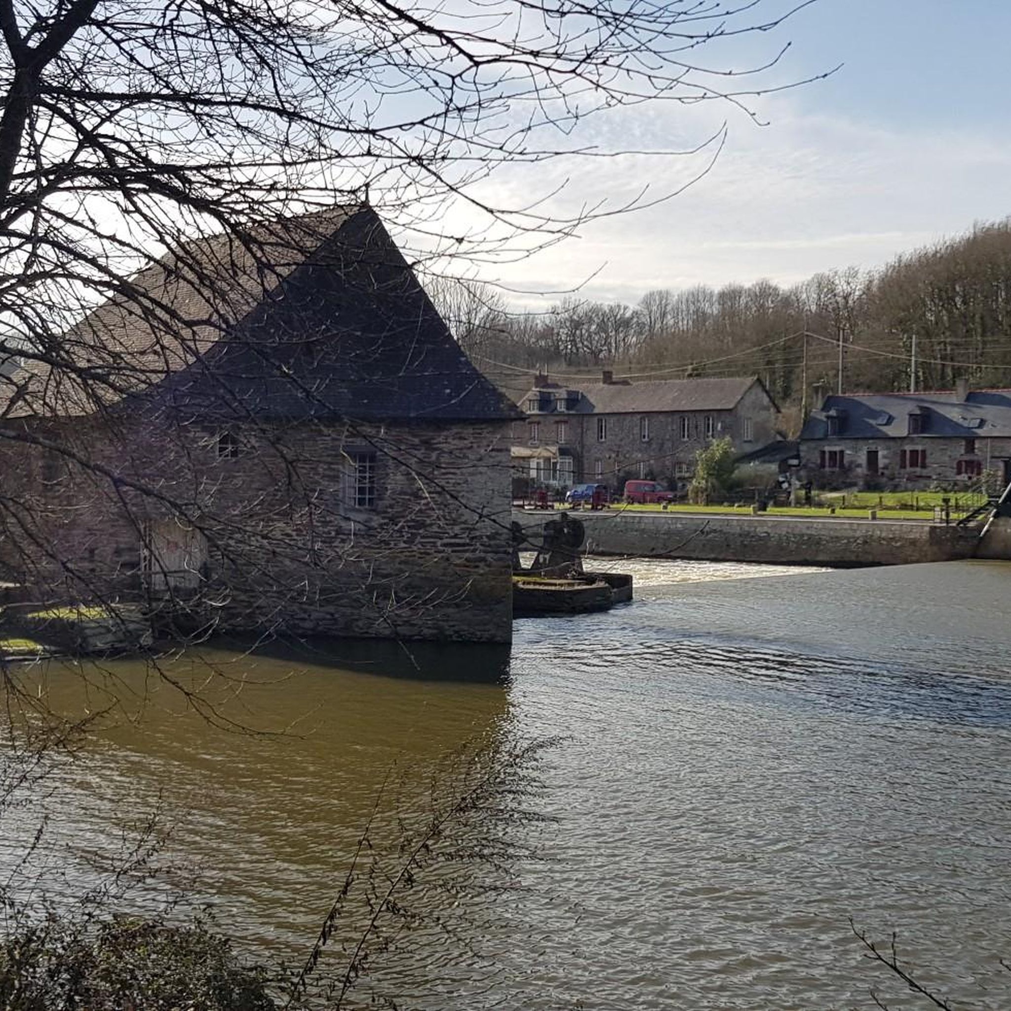
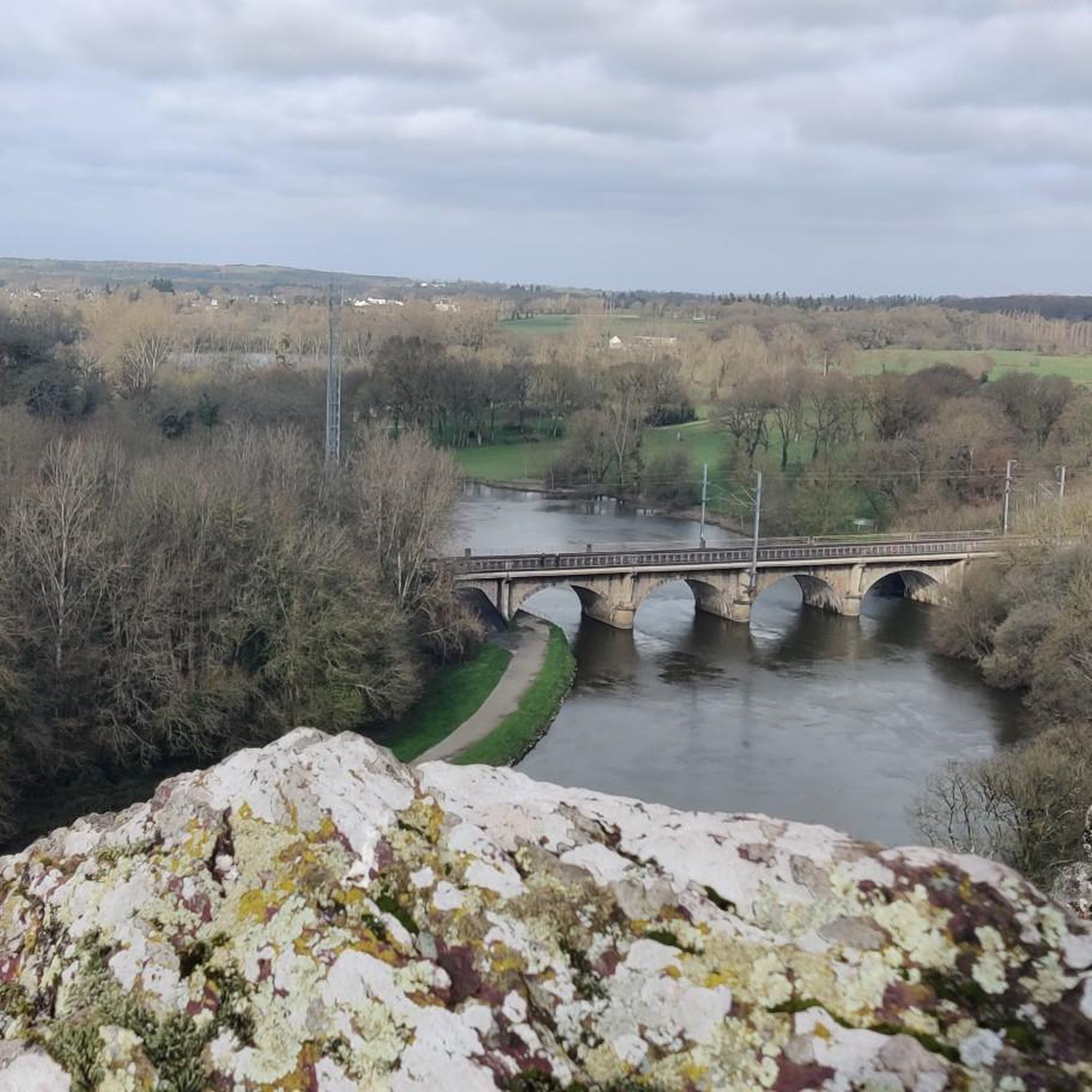
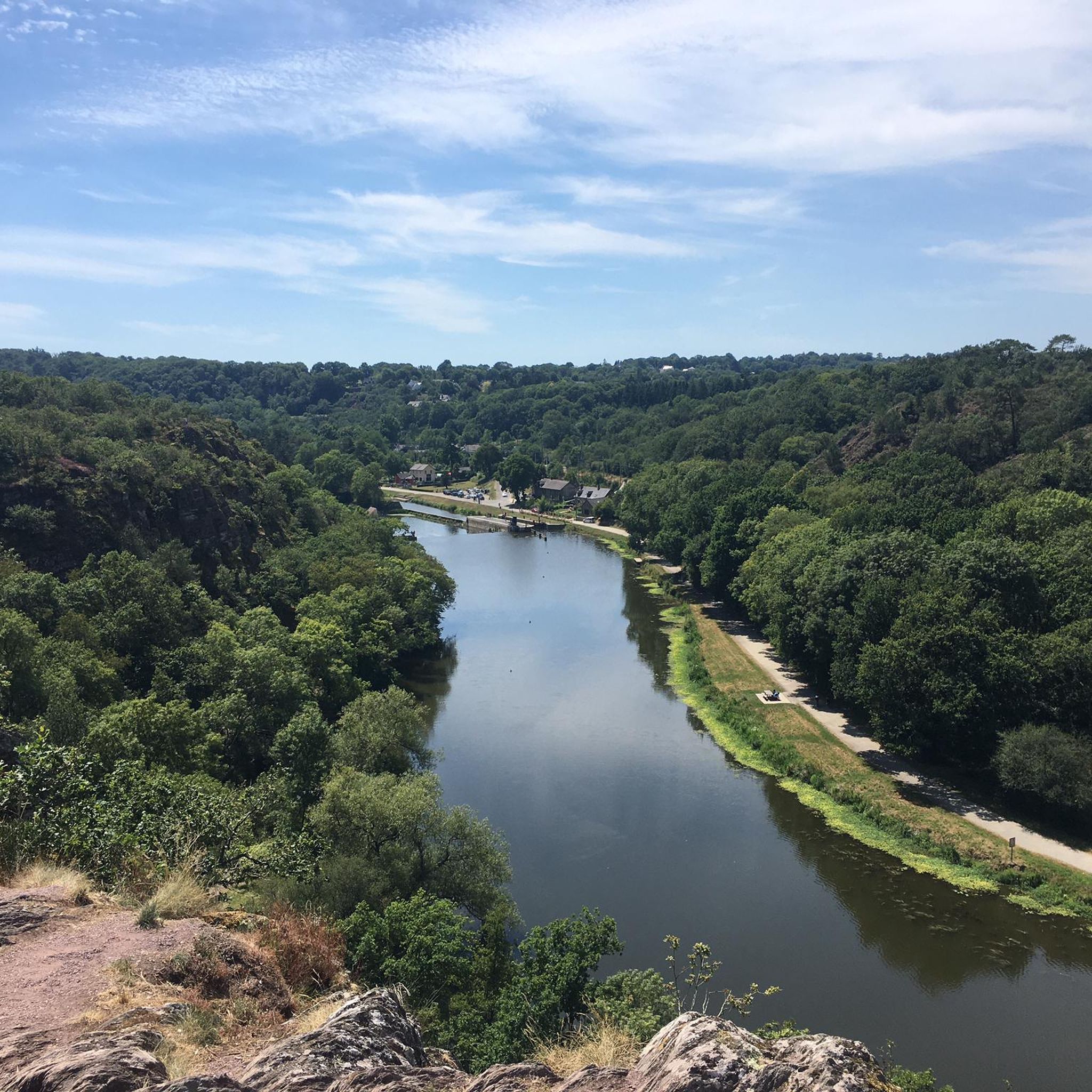
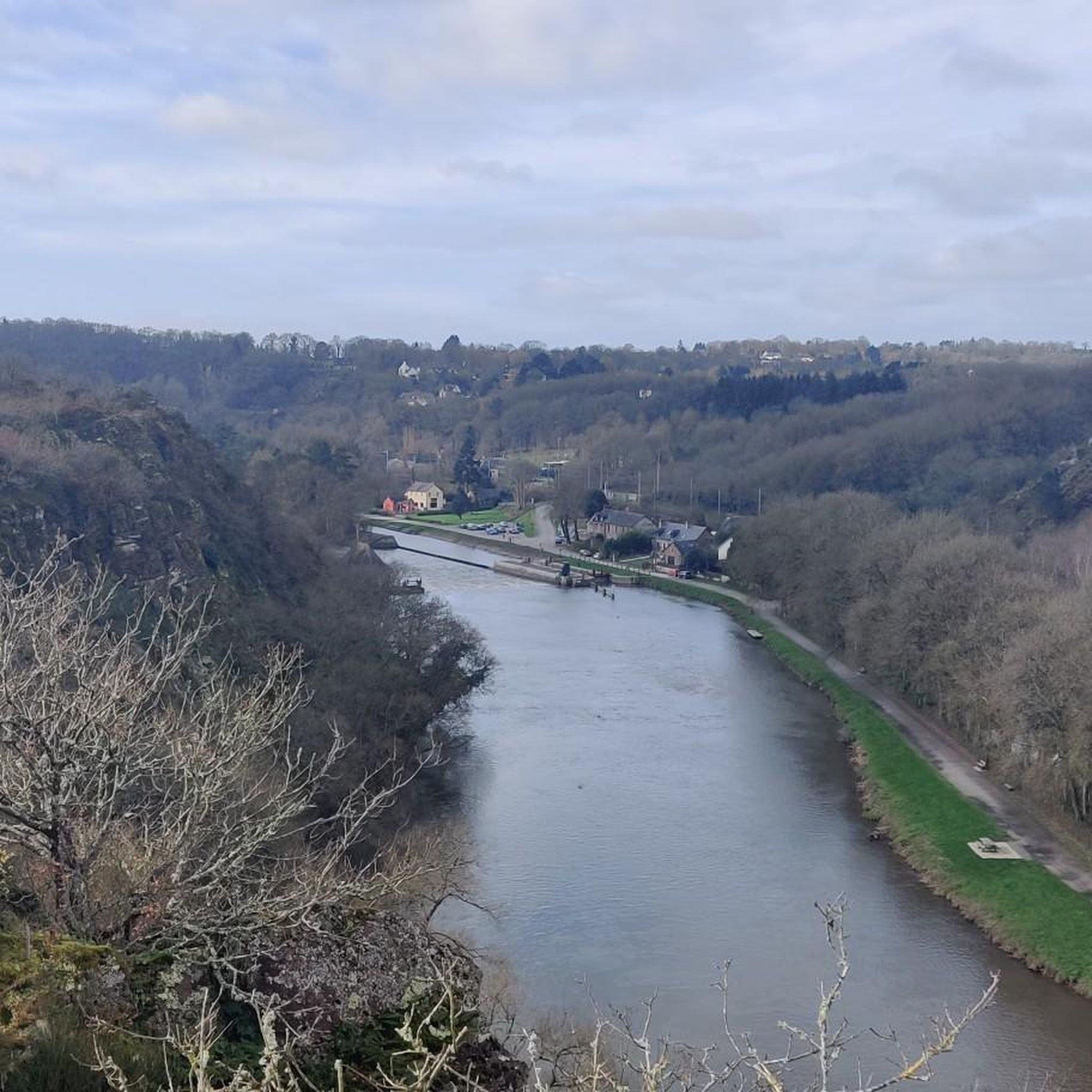
The Cuttlefish originates in the west of the village of Petre in Ille-et-Vilaine, in a small pond near the locality of L’Epine Houget, at an altitude of 167 m. It passes in total through twenty-six municipalities, ie twenty-four municipalities located in Ille-et-Vilaine and two municipalities in Mayenne. We cannot dissociate the cuttlefish from the exploitation of the Pont-Péan mining site which has shaped it since 1729, and this for two centuries. Period of combat with and against water, especially with its bed, first channeled from the confluence of the Vilaine to the castle of Carcé, then diverted by a channel from Carcé to Pont-Péan.
3
0
Bike ride along the cuttlefish
1
0

Frequently Asked Questions
How many hiking trails are there in Pont-Péan?
Pont-Péan offers a wide selection of hiking trails, with over 260 routes available for exploration. These range from easy walks to more challenging hikes, ensuring options for various fitness levels.
Are there easy hiking trails suitable for beginners or families in Pont-Péan?
Yes, Pont-Péan has numerous easy trails perfect for beginners or families. Over 120 routes are classified as easy. An example is the Caran's loop loop from Pont-Péan, which is 6.1 km long and takes about 1 hour 35 minutes, leading through areas connected to the region's mining heritage.
What kind of natural features can I expect to see on hikes around Pont-Péan?
Hiking around Pont-Péan offers diverse natural scenery. You'll find paths along the Seiche river, through woodlands like Bois Esnault, and across open fields. The landscape is also characterized by remnants of its mining past, such as Caran's mounds and the chaîne des Puits, which are now integrated into many trails.
Are there any circular walks available in Pont-Péan?
Many of the trails in Pont-Péan are designed as circular routes, allowing you to start and end in the same location. For instance, the Old lead mines – Caran's loop loop from Pont-Péan is a moderate 10.5 km circular trail that explores the historical lead mines and Caran's mounds.
What do other hikers enjoy most about hiking in Pont-Péan?
The area is highly rated by the komoot community, with an average score of 4.6 stars from over 600 reviews. Hikers often praise the unique blend of natural beauty and historical mining landscapes, as well as the well-maintained network of trails that cater to various abilities.
Are there any interesting landmarks or historical sites to see along the hiking trails?
Yes, Pont-Péan's rich mining history is a prominent feature. Trails often pass by remnants of the former lead-silver mines, such as Caran's mounds and the chaîne des Puits. Additionally, you might encounter other historical points of interest like the Boël Mill or the drawbridge at the Cicé lock, which are nearby attractions.
What is the best season for hiking in Pont-Péan?
Pont-Péan offers enjoyable hiking opportunities throughout much of the year. Spring and autumn provide pleasant temperatures and vibrant scenery, while summer is also popular, especially for riverside paths. Even in winter, many trails remain accessible, offering a different, quieter perspective of the landscape.
Are there any moderate or challenging trails for experienced hikers?
Yes, for those seeking a more moderate challenge, Pont-Péan offers over 120 moderate routes and 8 difficult trails. A good example of a moderate hike is the Sentier la buterne – Laillé loop from Belle-Vue, which is 13.2 km long with some ascents and descents.
Are dogs allowed on the hiking trails in Pont-Péan?
Generally, dogs are welcome on many of the hiking trails in Pont-Péan, especially on public footpaths and in natural areas. It's always recommended to keep them on a leash, particularly in areas with livestock or wildlife, and to check specific trail regulations if posted.
Where can I find parking for hiking trails in Pont-Péan?
Parking is typically available near trailheads and in the town center of Pont-Péan. For routes starting from specific villages or points of interest, designated parking areas are often provided. It's advisable to check the starting point of your chosen route for the most convenient parking options.
Are there any lakes or water features to explore near the hiking routes?
While the Seiche river is a prominent feature along many trails, the broader area around Pont-Péan also features several lakes and ponds. You can explore highlights like the Étang d'Apigné or the Bodrais Pond, which offer additional scenic spots for relaxation or water activities.
Can I reach hiking trails in Pont-Péan using public transport?
Pont-Péan is connected to the Rennes Métropole area, and local bus services can provide access to the town and some surrounding areas. While direct access to every trailhead might require a short walk, public transport can be a viable option for reaching the general vicinity of many hiking routes.
Most popular routes around Pont-Péan
Most popular attractions around Pont-Péan

Get inspired with the komoot mobile app


Explore more
Browse the best Hikes in other regions.
