The best walks and hikes around Fournet-Blancheroche
4.4
(353)
2,275
hikers
17
hikes
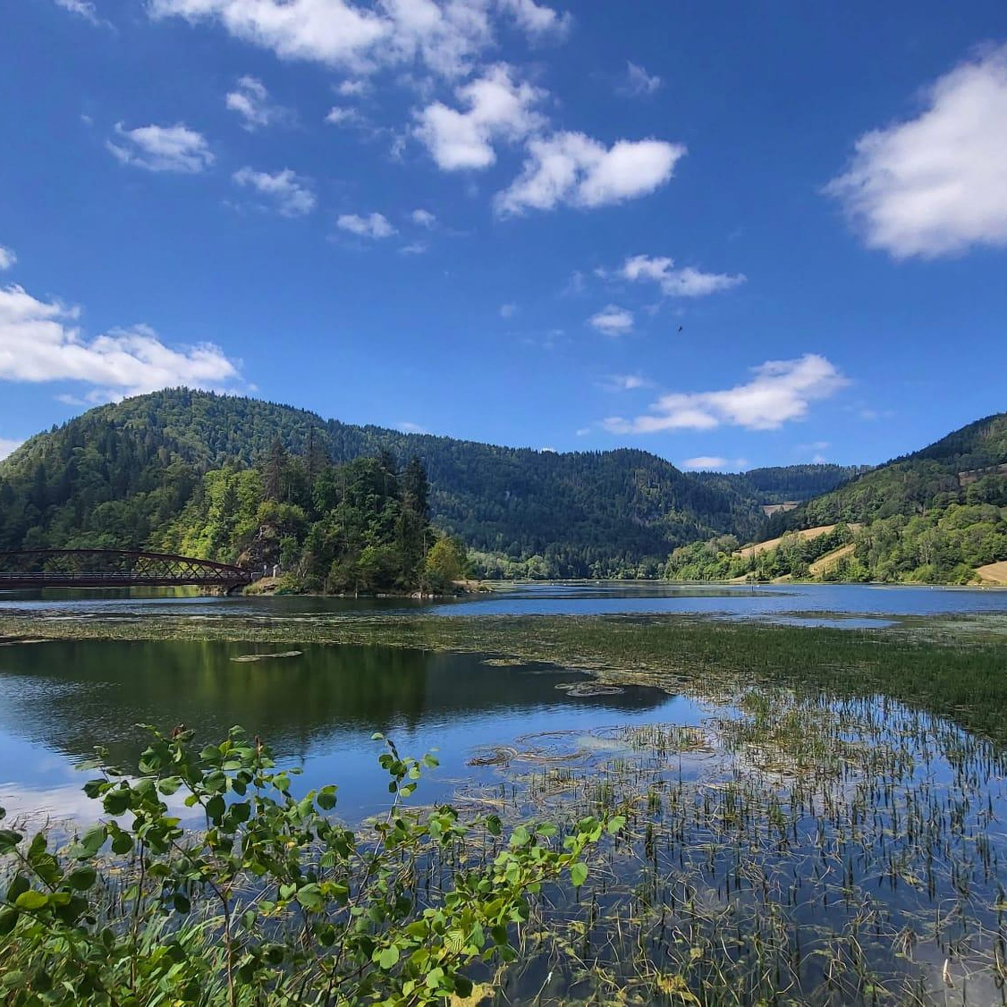
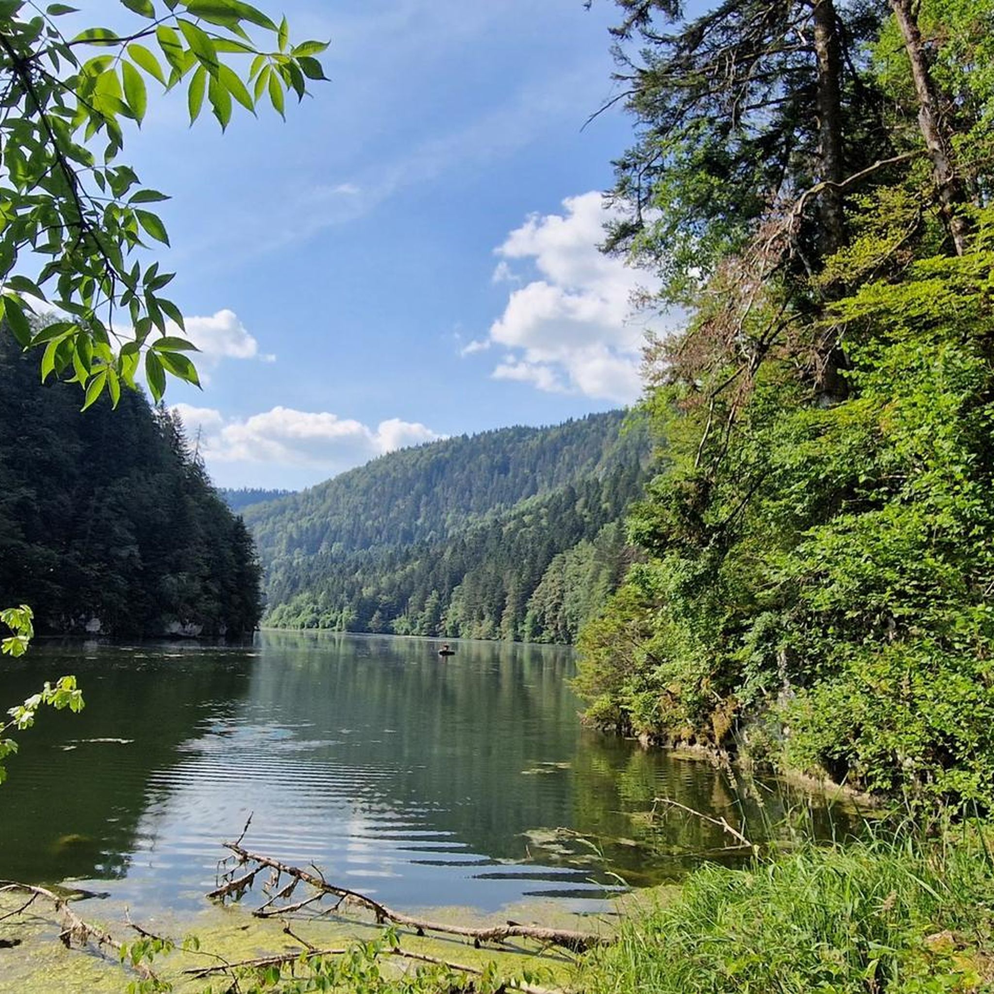
Hiking around Fournet-Blancheroche offers access to the diverse landscapes of the Haut-Doubs region within the Jura massif, bordering Switzerland. The area features dramatic rocky cliffs, dense fir and spruce forests, and lush pastures. The majestic Doubs Valley is a central geographical element, with the Gorges du Doubs carving a franco-swiss valley between steep cliffs. This region is part of the Parc naturel régional du Doubs Horloger, highlighting its protected natural environment.
Best hiking trails around Fournet-Blancheroche
- The most popular hiking…
Last updated: June 27, 2026
4.0
(2)
5
hikers
7.62km
02:39
400m
400m
Moderate hike. Good fitness required. Mostly accessible paths. Sure-footedness required.
4.9
(20)
123
hikers
16.5km
05:04
500m
500m
Hard hike. Very good fitness required. Mostly accessible paths. Sure-footedness required.

Sign up for free
4.8
(13)
84
hikers
Moderate hike. Good fitness required. Mostly accessible paths. Sure-footedness required.
4.9
(17)
73
hikers
19.1km
05:45
530m
530m
Hard hike. Very good fitness required. Mostly accessible paths. Sure-footedness required.
4.0
(1)
18
hikers
24.5km
06:48
440m
440m
Hard hike. Very good fitness required. Easily-accessible paths. Suitable for all skill levels.
Get access to more routes and recommendations from other explorers.
Sign up for free
Already have an account?
Our route recommendations are based on thousands of hikes, rides, and runs completed by other people on komoot.
Start today with a free account
Your next adventure awaits.
Login or Signup
Popular around Fournet-Blancheroche
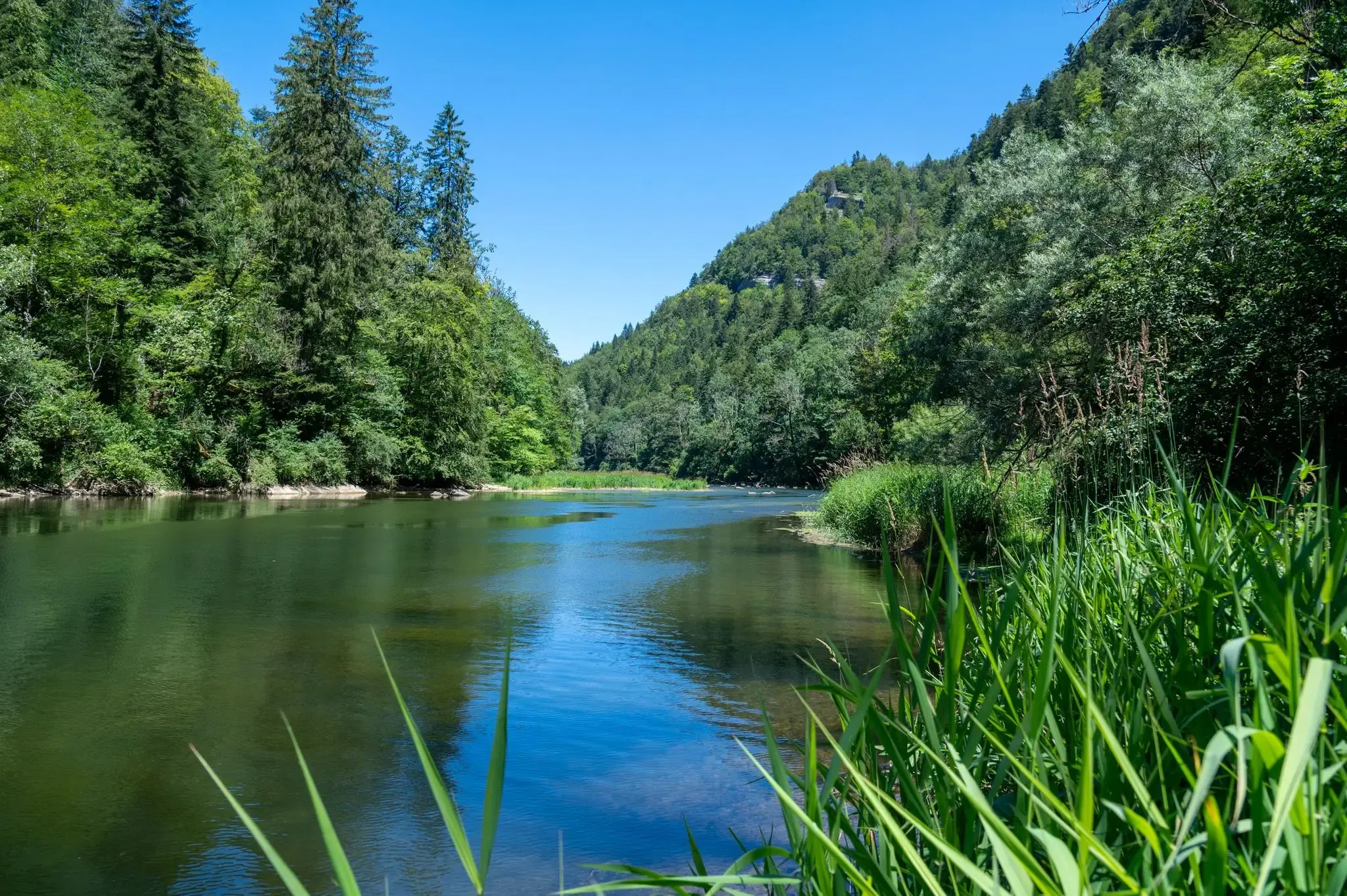
Follow France’s Doubs River through spectacular landscapes
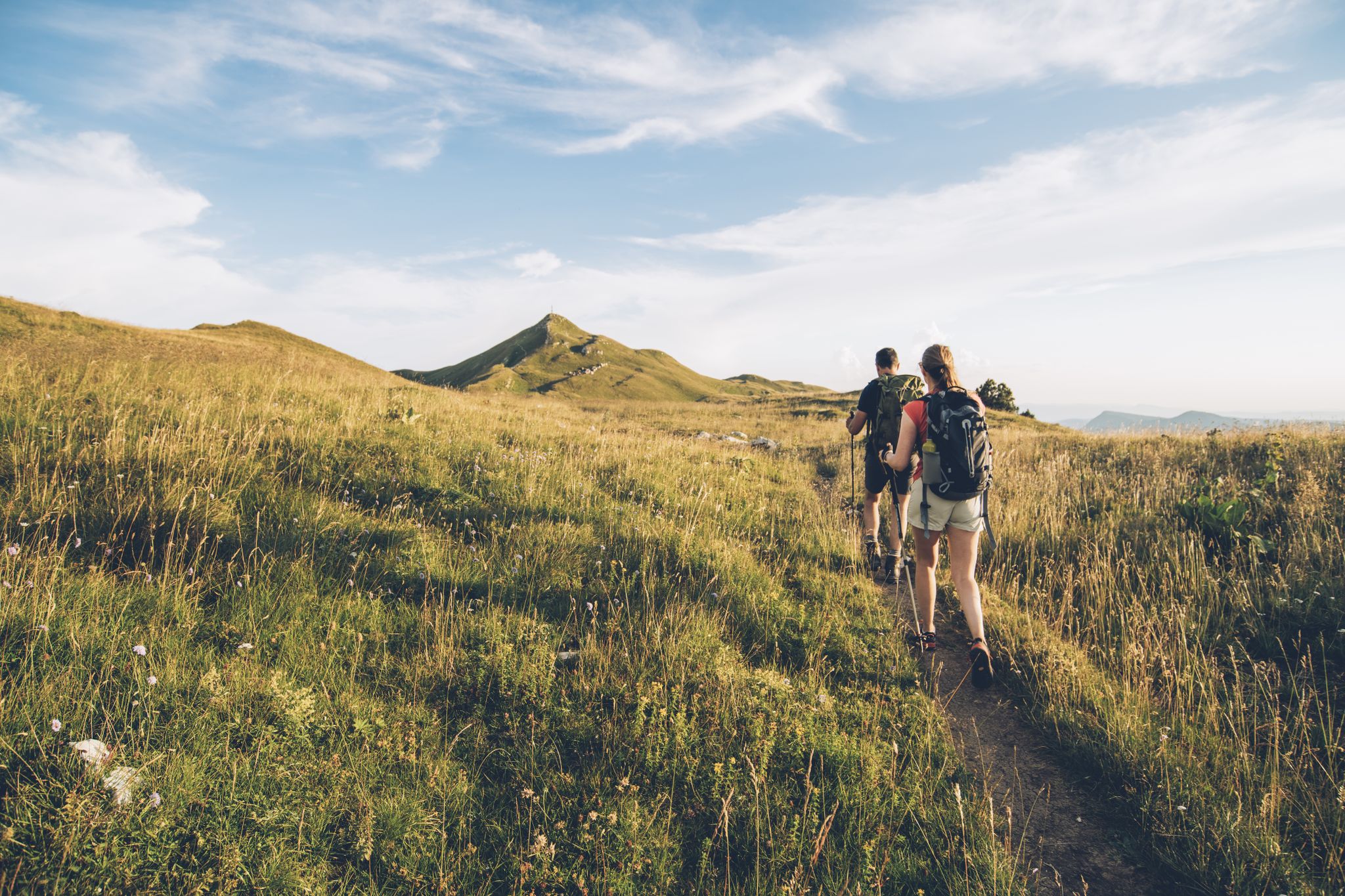
The thousand faces of the Jura Mountains – Grande Traversée du Jura on foot

From the Vosges to the Jura mountains – Hexatrek, le Grand Est
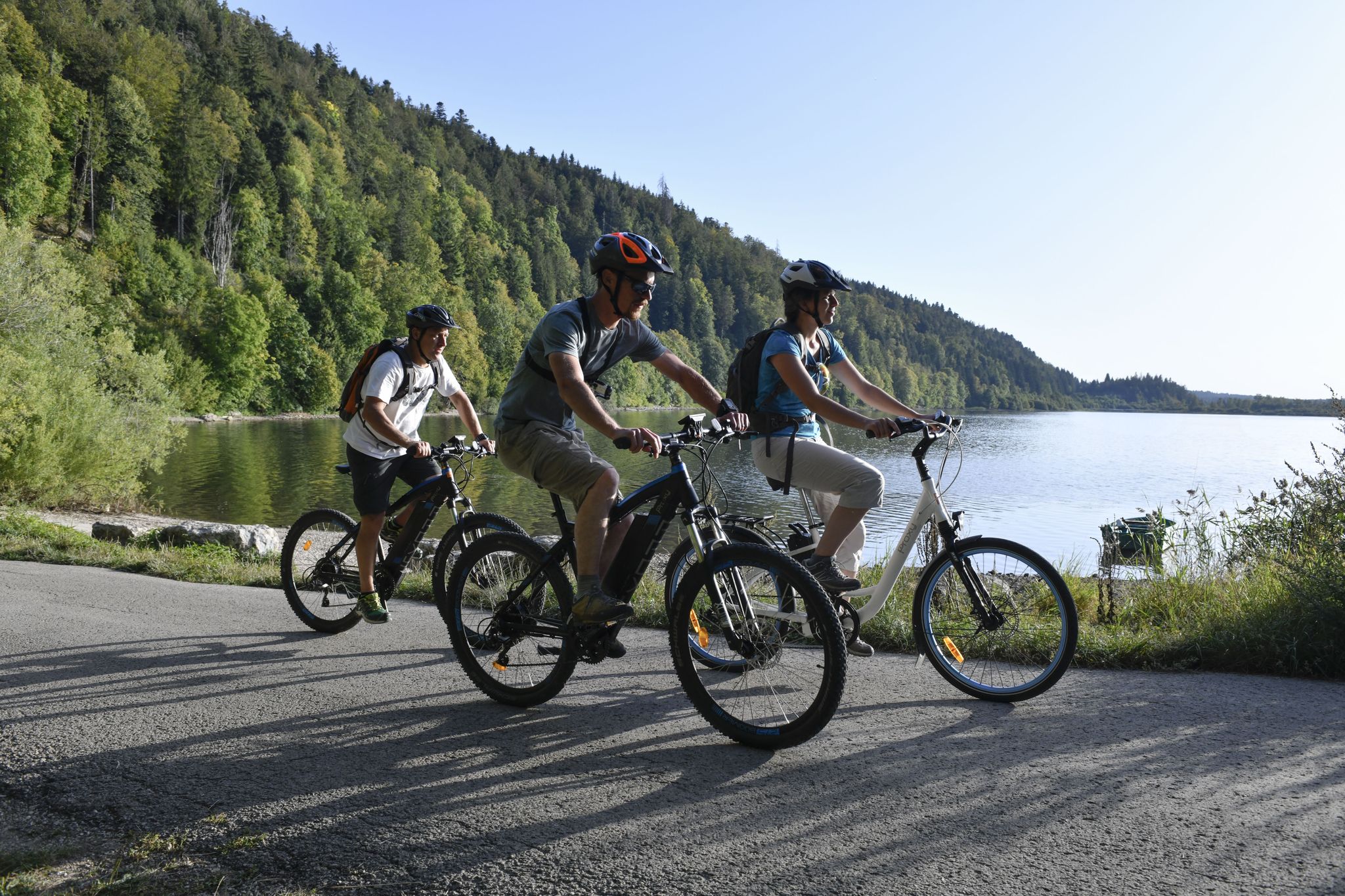
Wine, cheese and cycling – day trips in the French Jura Mountains
MTB Trails around Fournet-Blancheroche
Cycling around Fournet-Blancheroche
Running Trails around Fournet-Blancheroche
Road Cycling Routes around Fournet-Blancheroche
Gravel biking around Fournet-Blancheroche
Other adventures around Fournet-Blancheroche


Tips from the Community

E-bike, considering portage areas just after Biaufond and steep climb to reach St.-Brais
0
0

Please note that most of the photos associated with the route are photos of the via ferrata and the names of the ladders themselves, which are very solid stairs and not rope bridges! It is perfectly feasible for hiking, even if the height can be disconcerting.
4
1
Everything is in good working order. A beautiful experience, thank you to whomever keeps this maintained and safe!
1
0

great via ferrata with beautiful views of the Jura
0
0

This small bridge takes you through the 'green' border over the Doubs.
0
0
This border crossing is more for hikers or mountain bikers.
0
0


Get off your bike to reach the viewpoint located a few meters from the road. Here you can enjoy a breathtaking panorama of the meanders of the Doubs, and to the north, France. La Roche Guillaume is the site of a medieval fortress with a chapel, a tower and a wall following the shape of the rock.
0
0
Frequently Asked Questions
How many hiking trails are available around Fournet-Blancheroche, and what are their difficulty levels?
There are over 15 hiking trails around Fournet-Blancheroche. The routes cater to various skill levels, with 2 easy trails, 11 moderate trails, and 4 difficult trails, ensuring options for both casual walkers and experienced hikers.
What kind of natural features can I expect to see on hikes in Fournet-Blancheroche?
Hiking in Fournet-Blancheroche offers a diverse landscape. You'll encounter dramatic rocky cliffs, dense fir and spruce forests, and lush pastures. The majestic Doubs Valley is a central feature, with the Gorges du Doubs carving a franco-swiss valley between steep cliffs. You can also explore the Combe de Biaufond gorge, known for its moss-covered rocks.
Are there any challenging trails with unique features in the area?
Yes, for those seeking adventure, the area features trails like The Doubs River – The Ladders of Death loop from Biaufond Douane. This route includes sections with metal ladders and offers impressive views high above the Doubs. Another challenging option is The Ladders of Death – The Doubs River loop from Fournet-Blancheroche.
What do other hikers enjoy most about the trails in Fournet-Blancheroche?
The trails in Fournet-Blancheroche are highly rated by the komoot community, with an average score of 4.5 stars from over 300 reviews. Hikers frequently praise the diverse terrain, the stunning views over the Doubs River, and the unique natural features like the gorges and rocky cliffs.
Are there any circular hiking routes available?
Yes, many routes in the area are designed as loops. For example, the La Roche Guillaume via Le Bichon — loop from La Rasse is a popular moderate option. Another is the Moss-Covered Trees and Rocks – Combe de Biaufond loop from Biaufond Douane, which explores a beautiful gorge.
What are some notable viewpoints or landmarks to look out for?
The region offers several breathtaking viewpoints overlooking the Doubs Valley. You can find impressive natural landmarks such as The Ladders of Death and the Combe de Biaufond gorge. Additionally, keep an eye out for structures like the Goule Bridge and the La Rasse Bridge over the Doubs River.
Is Fournet-Blancheroche part of any larger hiking networks?
Yes, Fournet-Blancheroche is integrated into extensive long-distance hiking routes. It's part of the Grande Traversée du Jura (GTJ) and the HexaTrek, offering multi-day trekking opportunities across the Jura massif and beyond for those looking for longer adventures.
What is the best time of year to go hiking in Fournet-Blancheroche?
The region is beautiful year-round. Spring and autumn offer pleasant temperatures and vibrant foliage, while summer is ideal for enjoying the lush green landscapes. In winter, the area transforms, offering opportunities for cross-country skiing and snowshoeing, though some hiking trails might be more challenging due to snow.
Are there any very long or multi-day hiking options?
For those interested in longer excursions, the The Doubs River – Goule Bridge loop from Biaufond Douane is a difficult trail spanning over 24 km. Additionally, as the area is part of the Grande Traversée du Jura and HexaTrek, multi-day trekking opportunities are available for experienced hikers.
What kind of wildlife might I encounter while hiking?
The region's diverse natural environment, including dense forests and pastures, supports various wildlife. You might spot Montbéliarde cows and Comtois horses in the fields, and the protected natural environment of the Parc naturel régional du Doubs Horloger means a rich biodiversity, though specific wildlife sightings can vary.
Are there any easy or moderate trails suitable for a more relaxed walk?
Yes, while some trails are challenging, there are also moderate options. The La Roche Guillaume via Le Bichon — loop from La Rasse is a moderate 7.6 km trail that takes about 2 hours 40 minutes, offering varied terrain without extreme difficulty. There are 11 moderate and 2 easy trails in total.
Most popular routes around Fournet-Blancheroche
Most popular attractions around Fournet-Blancheroche

Get inspired with the komoot mobile app


Explore more
Browse the best Hikes in other regions.
