The best road cycling routes around Ferrières-Les-Bois
4.5
(124)
2,856
riders
172
rides
Road cycling around Ferrières-Les-Bois, located in the Doubs department of the Burgundy-Franche-Comté region in France, offers diverse landscapes and varied terrain. The commune itself ranges from 224 meters to 302 meters in altitude, providing options for different fitness levels. The broader Jura Mountains region and the Doubs Valley contribute to an extensive network of cycling routes, including greenways and dedicated tarmac paths. This area provides a mix of paved surfaces and some segments that may be unpaved, catering to a…
Last updated: May 28, 2026
4.7
(16)
581
riders
62.0km
02:46
450m
450m
Moderate road ride. Good fitness required. Mostly well-paved surfaces and easy to ride.
5.0
(1)
79
riders
101km
04:16
780m
780m
Moderate road ride. Good fitness required. Mostly well-paved surfaces and easy to ride.

Sign up for free
4.0
(2)
53
riders
Moderate road ride. Good fitness required. Mostly well-paved surfaces and easy to ride.
5.0
(2)
50
riders
44.5km
02:28
200m
200m
Moderate road ride. Good fitness required. Mostly well-paved surfaces and easy to ride.
5.0
(2)
23
riders
22.4km
00:59
80m
80m
Easy road ride. Great for any fitness level. Mostly well-paved surfaces and easy to ride.
Get access to more routes and recommendations from other explorers.
Sign up for free
Already have an account?
Our route recommendations are based on thousands of hikes, rides, and runs completed by other people on komoot.
Start today with a free account
Your next adventure awaits.
Login or Signup
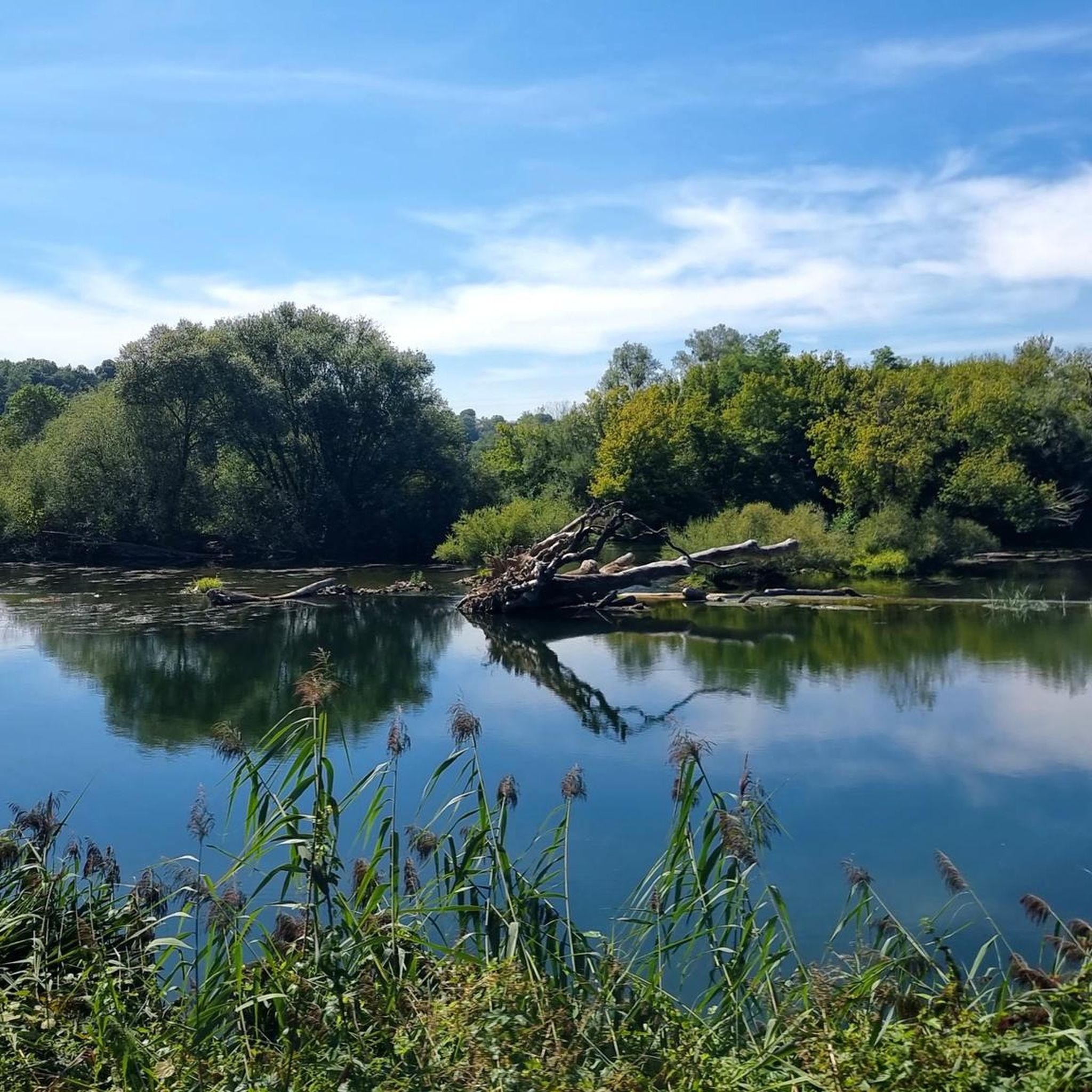


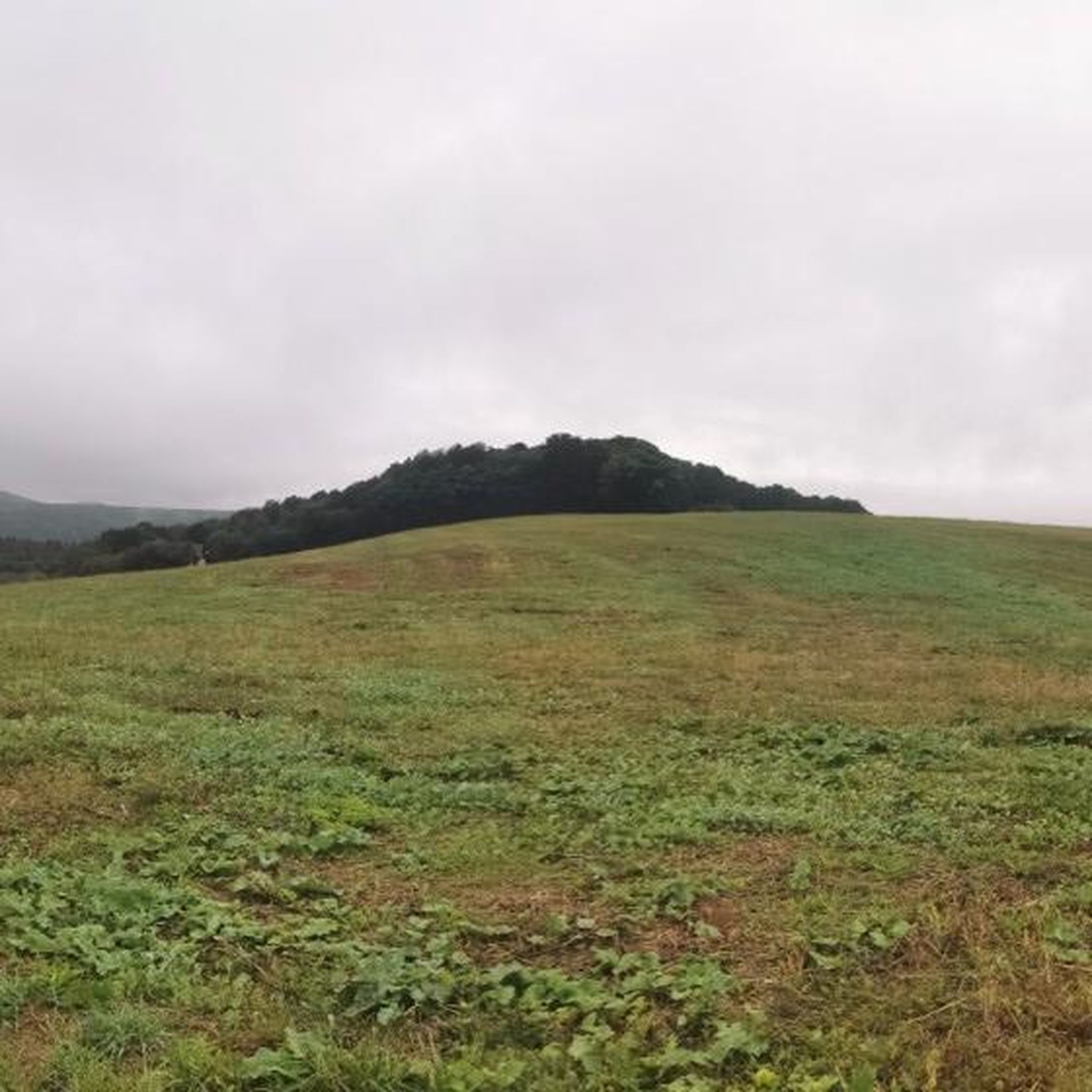
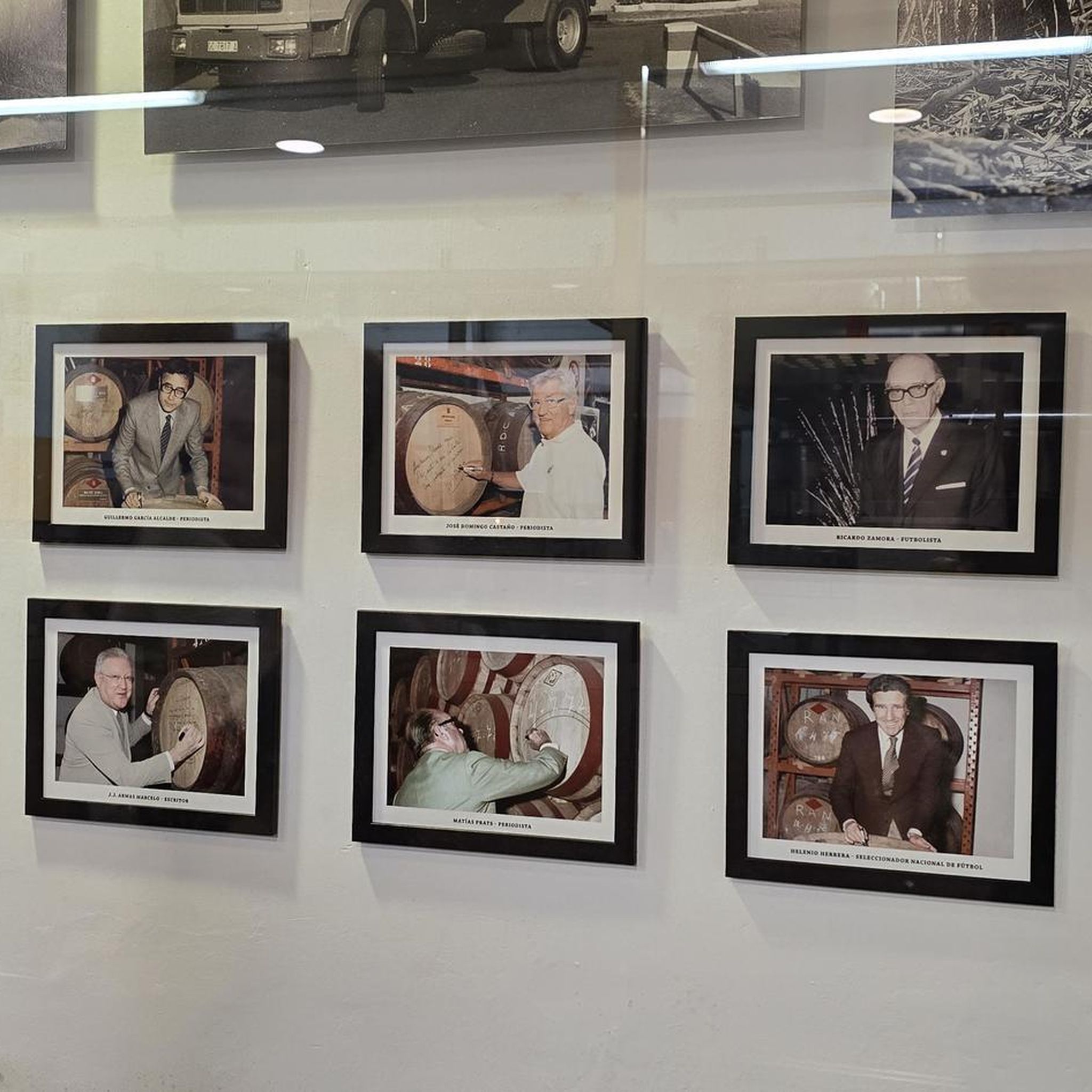
Tips from the Community

The Rhine-Rhône Canal runs directly alongside high cliffs here and opens into a narrow lock channel through a very narrow rock archway. A truly spectacular section of our cycling route!
0
0

The trail is pleasant and well shaded. The view is very beautiful.
0
0

Cyclo first plateau Dole
0
0
cyclo first plateau Dole
0
0

A curiosity: the river tunnel under the citadel
0
0

A charming town in Franche-Comté, part of the Holy Roman Empire until the Treaty of 1678. Very prosperous in the Middle Ages, thanks to its trade and artisans. A cloth market was established there as early as the 14th century, after Joan of Burgundy, Countess of Franche-Comté and Queen of King Philip V the Long of France, brought weavers from Paris. From June 14, 1354, until the Revolution, the bourgeoisie of Marnay had a charter of emancipation that guaranteed them security and prosperity: "Whoever has a house and keeps a fire in the town will be a bourgeois." This charter allowed the inhabitants to administer the town themselves and thus build ramparts and create the individual gardens that can still be seen today.
0
0

Simple but very affordable campsite right on the cycle path.
0
0

Frequently Asked Questions
How many road cycling routes are available around Ferrières-Les-Bois?
There are over 170 road cycling routes around Ferrières-Les-Bois, offering a wide range of options for different skill levels and preferences. You'll find everything from easy rides to more challenging routes with significant elevation gain.
What kind of terrain can I expect on road cycling routes in Ferrières-Les-Bois?
The terrain around Ferrières-Les-Bois is quite varied, ranging from 224 to 302 meters in altitude within the commune itself. This means you'll encounter a mix of paved surfaces and some segments that may be unpaved, especially as you explore the broader Jura Mountains region and the Doubs Valley. Routes can involve up to 500 feet of elevation gain over two hours for moderate rides, or over 1500 feet for more challenging ones.
Are there any family-friendly road cycling routes in the area?
Yes, Ferrières-Les-Bois offers routes suitable for families. The region includes greenways and dedicated tarmac paths, which are generally flatter and safer for cyclists of all ages. For example, the EuroVelo 6 section through Besançon offers easy cycling on greenways accessible to all, which is part of the broader Doubs Valley network.
What are some notable points of interest I can see along the road cycling routes?
Many routes in the area pass by interesting landmarks. You could cycle past the Thoraise Tunnel, or explore the Osselle Cave, which is a natural cave system nearby. The Historic Center of Marnay also offers a glimpse into the region's heritage. For a longer ride, consider a route that connects to historical sites like the Royal Saltworks of Arc-et-Senans.
Are there any circular road cycling routes starting from Ferrières-Les-Bois?
Yes, many routes in the area are designed as loops. For instance, the Suspension bridge – Percée de Thoraise loop from Saint-Vit is a popular moderate route exploring the Doubs Valley. Another option is the Montcley Castle – Fountain and Washhouses, Etuz loop from Lantenne-Vertière, which leads through varied terrain and natural features.
What is the best season for road cycling in Ferrières-Les-Bois?
The best season for road cycling in Ferrières-Les-Bois is typically from spring to autumn, when the weather is mild and the landscapes are vibrant. The region's diverse terrain makes it enjoyable across these seasons, with summer offering longer daylight hours and spring/autumn providing cooler temperatures and beautiful scenery.
What do other road cyclists enjoy most about cycling in Ferrières-Les-Bois?
The area is highly rated by the komoot community, with an average score of 4.6 stars. Reviewers often praise the diverse landscapes, the mix of challenging and easy routes, and the opportunity to explore both natural scenery and historical sites like those found on the Royal Saltworks of Arc-et-Senans – Dole loop from Saint-Vit.
Are there options for challenging road bike climbs near Ferrières-Les-Bois?
While Ferrières-Les-Bois itself has moderate altitude changes, the broader Jura Mountains region offers more challenging climbs. Some routes in the vicinity, such as the 'Climb Col de Rideux North – Ardennes climb loop', involve significant elevation gains suitable for very good fitness levels. You can find routes with over 1500 feet of elevation gain for a more demanding experience.
Where can I find parking for cyclists in Ferrières-Les-Bois?
While specific dedicated cyclist parking isn't detailed for Ferrières-Les-Bois, as a rural commune, you can typically find parking in village centers or near trailheads. For routes starting from nearby towns like Saint-Vit, parking facilities are generally available, allowing access to popular routes such as the Rhine-Rhône Canal – The Doubs loop from Saint-Vit.
Can I access road cycling routes using public transport with my bike?
Accessing routes via public transport with bikes can be possible, especially to larger nearby cities like Besançon, which is about 22 km away. Besançon is part of the EuroVelo 6 network, which is well-connected. It's advisable to check local public transport regulations regarding bike carriage, as policies can vary by service and time.
Are there cafes or restaurants along the road cycling routes?
Many routes in the region pass through or near villages and towns where you can find cafes and restaurants. Larger towns like Besançon, accessible via routes like the EuroVelo 6, offer numerous options for refreshments and meals. Planning your route with komoot allows you to identify such amenities along your chosen path.
Are there any specific long-distance cycling routes connected to the area?
Yes, the region is well-connected to long-distance routes. The Doubs Valley, which meanders along wooded slopes and rocky ridges, offers a 160km cycling route that is part of the EuroVelo 6 section, passing through Besançon. This provides easy cycling on greenways accessible to all and connects to a larger cycling network across the Jura Mountains region.
Most popular routes around Ferrières-Les-Bois
Most popular attractions around Ferrières-Les-Bois

Get inspired with the komoot mobile app


Explore more
Browse the best Road cycling routes in other regions.
