The best road cycling routes around Maillat
4.5
(101)
2,339
riders
115
rides
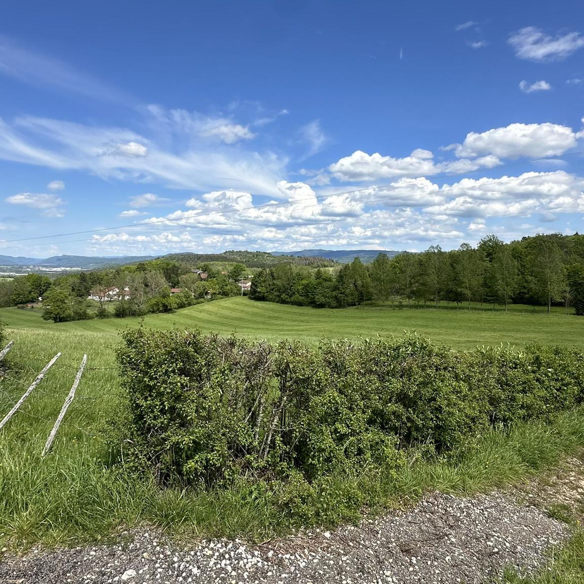
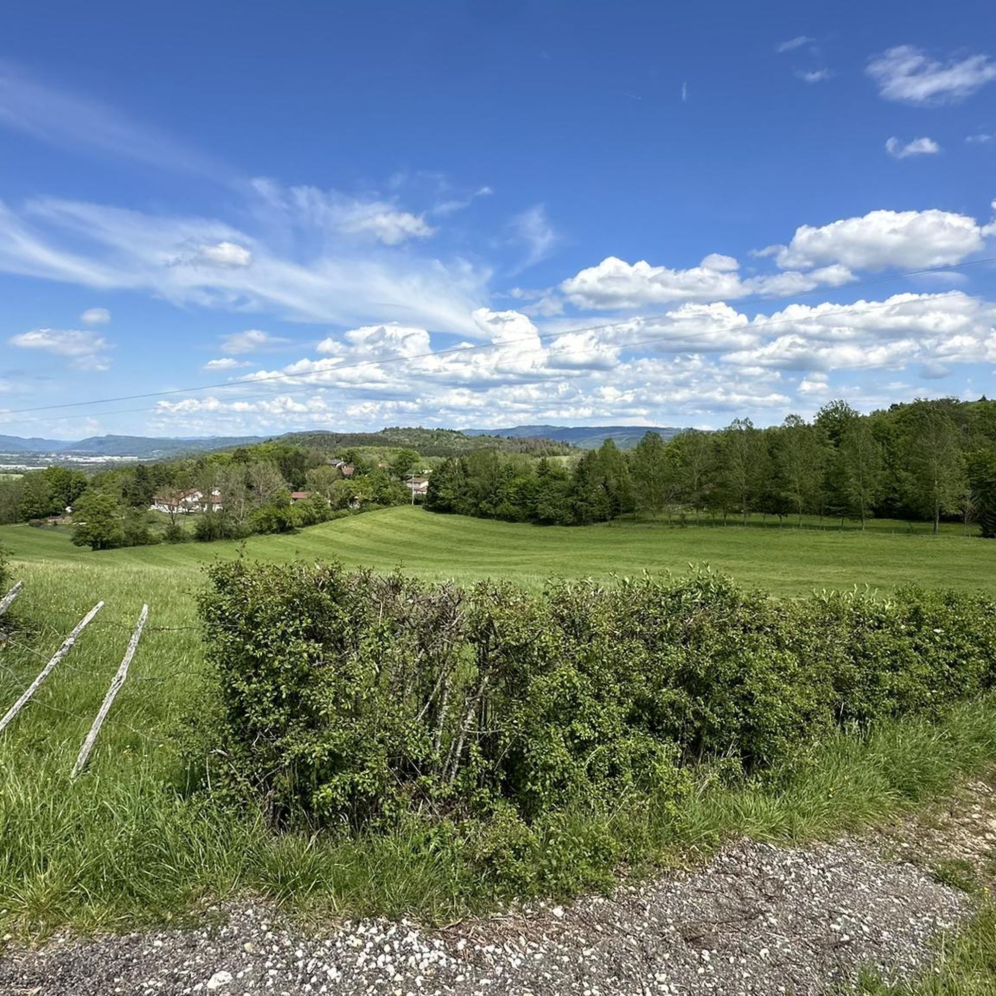
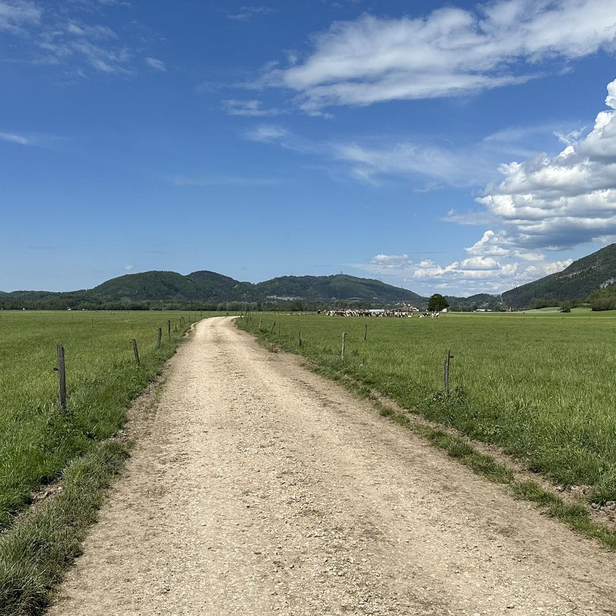
Road cycling routes around Maillat are situated in the Ain department of the Auvergne-Rhône-Alpes region, offering diverse landscapes. The terrain varies from serene river valleys along the Ain River to challenging ascents through the foothills of the Jura Mountains. The region features limestone cliffs, dense forests, and glacial lakes like Lake Nantua, providing a range of gradients for road cyclists.
Best road cycling routes around Maillat
- The most popular road cycling route is Matafelon-Granges – View of Lake Nantua loop…
Last updated: July 4, 2026
4.4
(5)
75
riders
54.4km
02:33
640m
640m
Moderate road ride. Good fitness required. Mostly well-paved surfaces and easy to ride.
5.0
(3)
35
riders
39.4km
01:43
300m
300m
Moderate road ride. Good fitness required. Mostly well-paved surfaces and easy to ride.

Sign up for free
6
riders
86.5km
04:37
1,540m
1,540m
Hard road ride. Very good fitness required. Mostly well-paved surfaces and easy to ride.
4.0
(2)
66
riders
62.4km
02:54
690m
690m
Moderate road ride. Good fitness required. Mostly well-paved surfaces and easy to ride.
4.0
(2)
16
riders
51.8km
02:40
870m
870m
Moderate road ride. Good fitness required. Mostly well-paved surfaces and easy to ride.
Get access to more routes and recommendations from other explorers.
Sign up for free
Already have an account?
Our route recommendations are based on thousands of hikes, rides, and runs completed by other people on komoot.
Start today with a free account
Your next adventure awaits.
Login or Signup

Tips from the Community

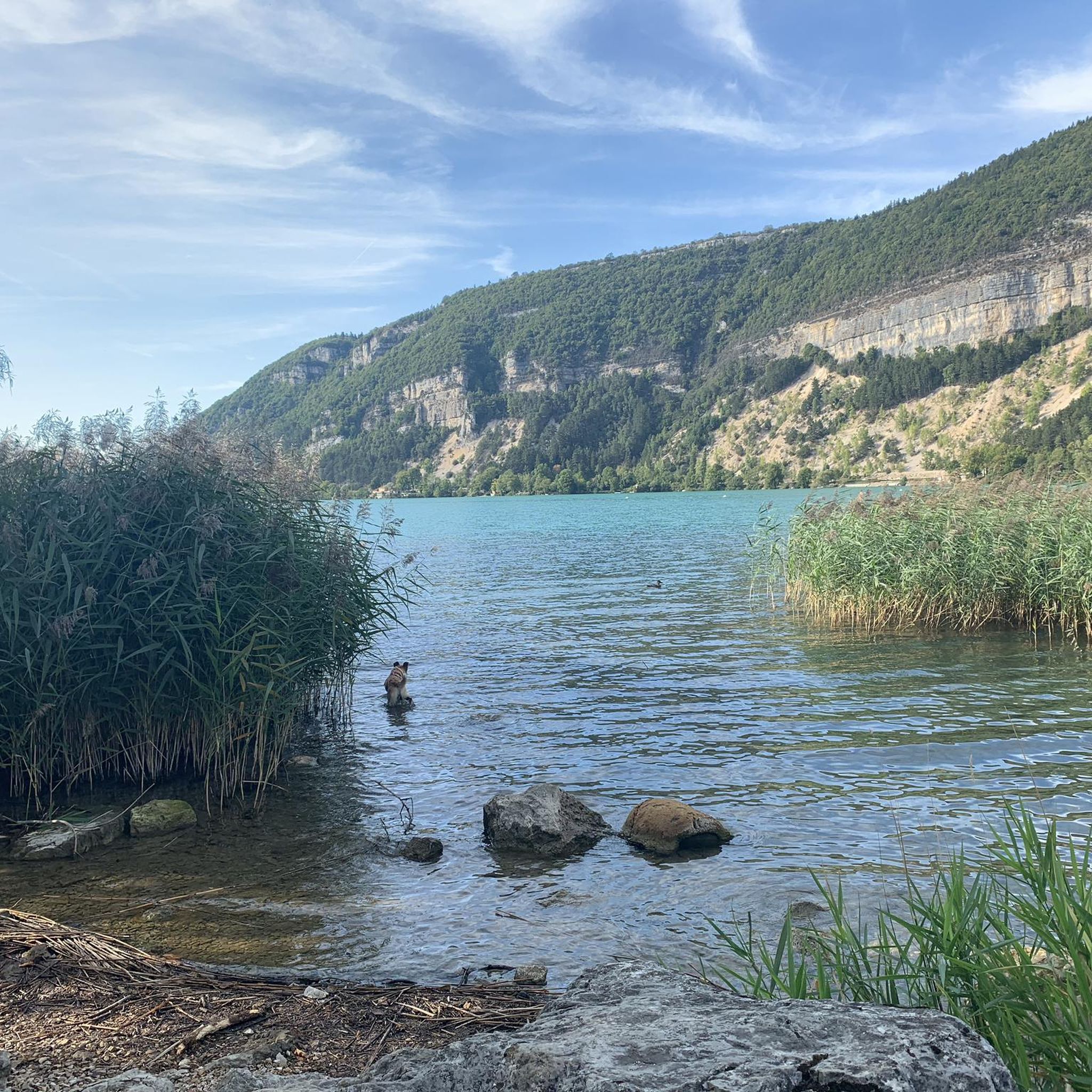
The Lac de Nantua is a superb body of water of 141 hectares. In the heart of the Jura, it offers an ideal setting for practicing a multitude of sports. It is even possible to swim in its waters.
1
0

The bridge separates two departments, the Jura and the Ain. "Iron bridge. For several centuries, the Ain was crossed at Thoirette using a ferry, called Christouphe's ferry, named after the commune where the passenger resided. From 1808 to 1811, the riparian communes contributed to building a bridge in place of this ferry. The project had been drawn up by Mr. Cordier, from Orgelet, an engineer then in charge of directing the works for the Simplon road. Various obstacles opposed the execution of this work. It was not until 1829 that an iron bridge was built, which collapsed in 1843. The Ain department has just replaced it with an iron bridge currently open to traffic". Statistique de la France - 1855 - Ministère de l'Agriculture by Imprimerie Impériale in Paris - p53.
0
0

Beautiful, simple, easy walk; lots of traffic noise on the "road" section, a bit of a shame, but the color of the water is magical
1
0

Unfortunately I was unlucky with the weather, but even as I drove past the place looked very nice, lots of grass and a place to swim.
0
0

Small pass between Ain and Oignin. Beautiful church in the village, the hotel looked rather closed.
3
0


After a good climb, you arrive in the village with a magnificent view of the church and you can even find a shelter with a library. Enough to take a pleasant break from the effort of cycling and appreciate the present moment in front of this very pretty church.
0
0
Frequently Asked Questions
How many road cycling routes are available around Maillat?
There are over 100 road cycling routes around Maillat, offering a wide range of experiences. These include routes with varied gradients through the Jura Mountains, as well as more peaceful paths along the Ain River and scenic views of Lake Nantua.
What kind of terrain can I expect on road cycling routes near Maillat?
The terrain around Maillat is highly diverse. You'll find challenging ascents through the foothills of the Jura Mountains, featuring limestone peaks and dense forests, with some routes including significant elevation gain. There are also gentler rides along serene waterways like the Ain River and around glacial lakes such as Lake Nantua.
Are there any easy road cycling routes suitable for beginners around Maillat?
Yes, while the region is known for its varied gradients, there are routes suitable for beginners. The Ain department features 'greenways' and quiet roads along the Ain River that offer gentler rides. For example, the route Lac de Coiselet – Thoirette on the Ain River loop from Maillat offers a moderate experience along the tranquil river.
What are some scenic highlights or landmarks I can see while cycling near Maillat?
Road cycling routes around Maillat offer superb panoramic views. You can enjoy the striking sapphire or emerald colors of Lake Nantua, explore the Cerdon Caves, or pass by the beautifully restored St Alban Church which offers a scenic viewpoint over Cerdon. Some mountain passes also provide views of Mont Blanc and Lake Geneva.
Are there any challenging road cycling routes for experienced cyclists?
Absolutely. The Jura Mountains near Maillat provide enticing and challenging terrain. Routes like Col de la Cheminée – Rochette Pass loop from Maillat involve significant elevation gain, with passes such as the Col du Grand Colombier (though not directly on this route, it's indicative of the region's challenges) often featured in professional races like the Tour de France.
What do other road cyclists enjoy the most about road cycling in Maillat?
The road cycling routes around Maillat are highly rated by the komoot community, with an average score of 4.6 stars from over 90 reviews. Cyclists often praise the varied gradients of the Jura Mountains, the peaceful paths along the Ain River, and the stunning scenic views of Lake Nantua.
Are there any circular road cycling routes around Maillat?
Yes, many of the road cycling routes around Maillat are designed as loops, allowing you to start and finish at the same point. Examples include Matafelon-Granges – View of Lake Nantua loop from Ceignes and Lac de Nantua – Lake Nantua loop from Saint-Martin-du-Frêne, which offer beautiful scenic circuits.
Is the region around Maillat suitable for family-friendly cycling?
While many routes cater to more experienced road cyclists, the Ain department also offers 'greenways' and quiet roads along the Ain River that are more suitable for families looking for gentler rides. These paths provide a peaceful natural setting away from heavy traffic.
What is the best time of year for road cycling in Maillat?
The region offers good cycling conditions throughout much of the year. Spring and autumn provide pleasant temperatures and beautiful scenery, while summer allows for longer days and warmer weather, ideal for exploring the diverse landscapes of the Ain department and Jura Mountains.
Are there specific cycling networks or initiatives in the Ain department that Maillat is part of?
Yes, Maillat is located within the Ain department, which is recognized as a 'road bike paradise.' The region boasts an expanding 'Ain à Vélo' cycle route network, promising over 1,000 kilometers of signposted routes. A notable feature near Maillat is a quiet road along the Ain river, part of the 'Ain à Vélo cycle route no. 22 - And in the middle runs a river.' You can find more information on the official tourism website: Ain à Vélo.
Can I find cafes or places to stop for refreshments along the road cycling routes?
The region around Maillat, including picturesque towns and villages, offers opportunities to stop for refreshments. While specific cafes on every route aren't listed, the presence of towns like Pérouges and scenic viewpoints with picnic areas, such as near St Alban Church, suggests that amenities are available within reasonable distances.
What are the options for parking when starting a road cycling route in Maillat?
While specific parking locations for each route are not detailed, starting points for many routes are typically in or near towns and villages like Maillat, Ceignes, or Saint-Martin-du-Frêne. These locations generally offer public parking facilities, making it convenient to access the cycling trails.
Most popular attractions around Maillat

Get inspired with the komoot mobile app


Explore more
Browse the best Road cycling routes in other regions.
