The best road cycling routes around Challes-La-Montagne
4.3
(113)
2,587
riders
131
rides
Road cycling routes around Challes-La-Montagne traverse a landscape characterized by river valleys, rolling hills, and notable architectural features like viaducts. The region offers varied terrain suitable for different road cycling preferences. Routes often follow watercourses and ascend through forested areas, providing a mix of gradients. This area is defined by its natural and engineered landmarks, making for diverse cycling experiences.
Best road cycling routes around Challes-La-Montagne
- The most popular road cycling route is Cize Viaduct – Viaduct Cize-Bolozon loop from…
Last updated: August 27, 2026
4.8
(5)
207
riders
Moderate road ride. Good fitness required. Some segments of this route may be unpaved and difficult to ride.
4.1
(7)
92
riders
47.6km
02:11
580m
580m
Moderate road ride. Good fitness required. Mostly well-paved surfaces and easy to ride.

Sign up for free
4.5
(6)
83
riders
54.4km
02:33
640m
640m
Moderate road ride. Good fitness required. Mostly well-paved surfaces and easy to ride.
4.0
(1)
45
riders
66.9km
03:28
1,130m
1,130m
Hard road ride. Very good fitness required. Mostly well-paved surfaces and easy to ride.
4.0
(1)
39
riders
63.6km
03:50
1,390m
1,380m
Hard road ride. Very good fitness required. Some segments of this route may be unpaved and difficult to ride.
Get access to more routes and recommendations from other explorers.
Sign up for free
Already have an account?
Our route recommendations are based on thousands of hikes, rides, and runs completed by other people on komoot.
Start today with a free account
Your next adventure awaits.
Login or Signup
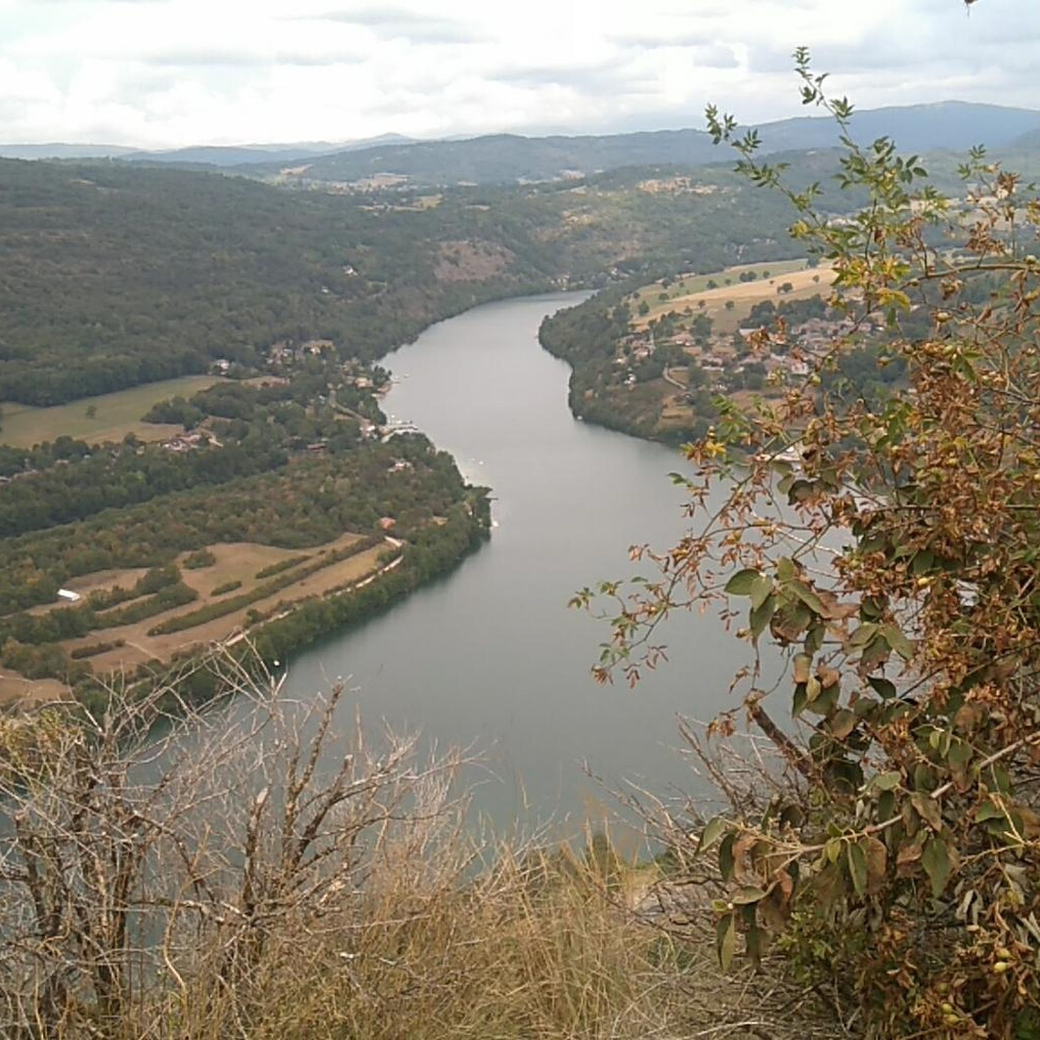
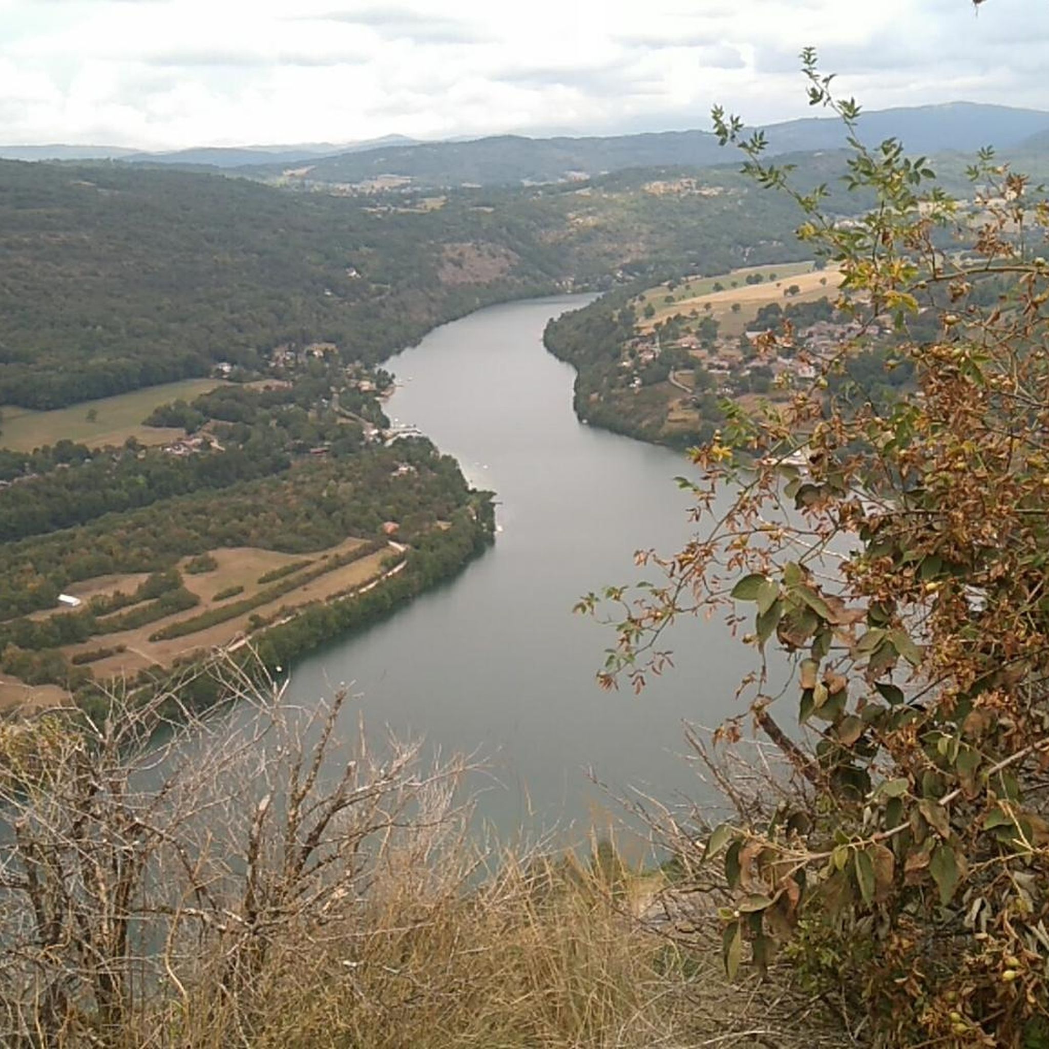
Tips from the Community

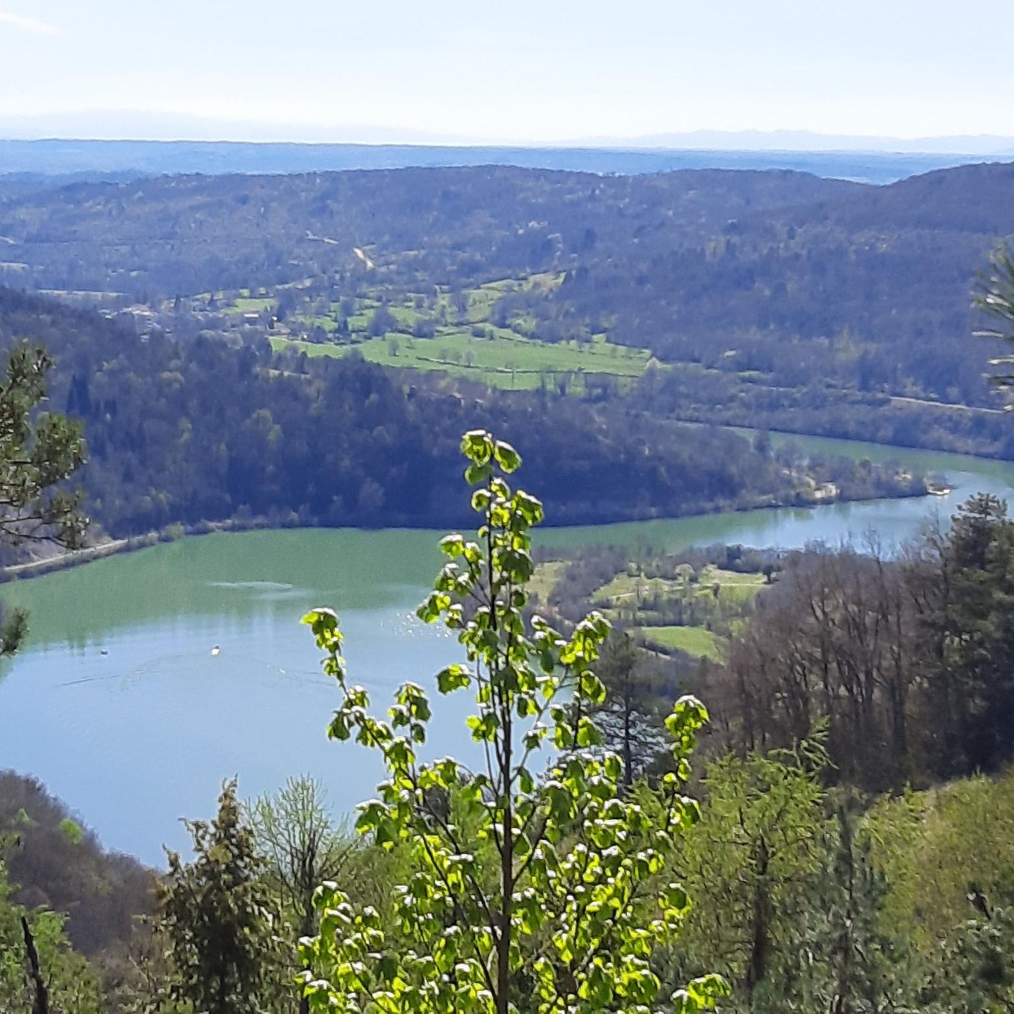
The Lac de Nantua is a superb body of water of 141 hectares. In the heart of the Jura, it offers an ideal setting for practicing a multitude of sports. It is even possible to swim in its waters.
2
0

The Abbey of Ambronay was founded in 800 by Barnard de Romans, a soldier, an officer of Charlemagne, and a future saint canonized in 944. The abbey church, built on the ruins of the Carolingian church, features gargoyles, sculptures, and paintings that will amuse children with their fascinating details. The cloister is a space of serenity that invites meditation: your imagination may perhaps chase some ghostly figures of monks. The visit will end in the gardens where you will discover medicinal plants on the botanical trail. https://www.ain-tourisme.com/visiter-patrimoine/monuments-religieux-a-visiter-dans-l-ain/abbaye-benedictine-dambronay/
1
0
pretty small stone viaduct with 2 superimposed lanes, one for cars with 6 arches and one for the train with 11 arches. Atypical.
0
0
pretty little stone viaduct with 2 superimposed lanes, one for cars with 6 arches and one for the train with 11 arches. Atypical.
0
0
The bridge separates two departments, the Jura and the Ain. "Iron bridge. For several centuries, the Ain was crossed at Thoirette using a ferry, called Christouphe's ferry, named after the commune where the passenger resided. From 1808 to 1811, the riparian communes contributed to building a bridge in place of this ferry. The project had been drawn up by Mr. Cordier, from Orgelet, an engineer then in charge of directing the works for the Simplon road. Various obstacles opposed the execution of this work. It was not until 1829 that an iron bridge was built, which collapsed in 1843. The Ain department has just replaced it with an iron bridge currently open to traffic". Statistique de la France - 1855 - Ministère de l'Agriculture by Imprimerie Impériale in Paris - p53.
0
0
The bridge separates two departments, the Jura and the Ain. "Iron bridge. For several centuries, the Ain was crossed at Thoirette by means of a ferry, known as the bac de Christouphe, the name of the commune where the passenger resided. From 1808 to 1811, the riparian communes clubbed together to build a bridge in place of this ferry. The project had been drawn up by Mr. Cordier, of Orgelet, an engineer then in charge of the direction of the Simplon road works. Various obstacles opposed the execution of this work. It was only in 1829 that an iron bridge was built, which collapsed in 1843. The department of Ain has just replaced it with an iron bridge currently open to traffic". Statistique de la France - 1855 - Ministère de l'Agriculture par Imprimerie Impériale à Paris - p53.
0
0
After 7 years of difficult work, the two-arched bridge in Neuville-sur-Ain was put into service in 1777. The construction of the bridge had brought masons and stonemasons from different regions, some of whom came from Beauce seem to have settled and given their name to the hamlet of Bosseron (for Beaucerons). It is a structure listed in the inventory of protected monuments since August 1946. https://www.neuvillesurain.fr/patrimoine-et-tourisme/quartiers-hameaux/neuville-le-bas/
0
0

Here is the route for the ascent of the Col du Nivollet starting from Saint-Rambert-en-Bugey
1
0
Frequently Asked Questions
Are there easy road cycling routes in Challes-La-Montagne?
Yes, Challes-La-Montagne offers several easy road cycling routes. There are 7 routes specifically categorized as easy, perfect for a relaxed ride. These routes often follow river valleys, providing gentle gradients and scenic views.
What about more challenging road cycling routes?
For experienced road cyclists seeking a challenge, Challes-La-Montagne has 65 difficult routes. These routes typically feature more significant elevation gains and longer distances, traversing rolling hills and forested areas to test your endurance.
How long do road cycling routes typically take in Challes-La-Montagne?
Route durations vary depending on distance and elevation. For example, the Cize Viaduct – Viaduct Cize-Bolozon loop from Bohas-Meyriat-Rignat is a moderate 37.3 miles (60.0 km) route that typically takes around 2 hours 49 minutes. Shorter routes can be completed in less time, while longer, more challenging ones will take considerably longer.
Is parking available near the road cycling routes?
While specific parking details vary by starting point, most towns and villages that serve as common starting points for routes, such as Bohas-Meyriat-Rignat or Mérignat, offer public parking facilities. It's advisable to check local parking options for your chosen starting location.
When is the best time of year for road cycling in Challes-La-Montagne?
The most favorable time for road cycling in Challes-La-Montagne is generally from spring through autumn. During these seasons, the weather is typically mild, and the landscapes are vibrant. Winter conditions can bring colder temperatures and potential for ice or snow, making some routes less suitable for road cycling.
Which routes offer the most scenic views?
Many routes in the region are known for their scenic beauty. The View of the Viaduc de Poncin – Neuville sur ain loop from Mérignat offers stunning vistas of the Viaduc de Poncin and the surrounding river landscapes. Another highly rated option is the Matafelon-Granges – View of Lake Nantua loop from Ceignes, which provides beautiful views of Lake Nantua.
Are there circular road cycling routes available?
Yes, many of the road cycling routes around Challes-La-Montagne are designed as circular loops, allowing you to start and finish at the same point. Examples include the Cize Viaduct – Viaduct Cize-Bolozon loop from Bohas-Meyriat-Rignat and the Cize-Bolozon Viaduct – Cize Viaduct loop from Hautecourt-Romanèche.
What natural and historical landmarks can I discover along the routes?
The region is rich in landmarks. You can cycle past impressive structures like the Cize-Bolozon Viaduct and the Viaduc de Poncin. Natural attractions include the Cerdon Caves and the picturesque Cascade de la Pisse Vache. Many routes also offer views of Lake Nantua.
What do other road cyclists enjoy the most about road cycling in Challes-La-Montagne?
The area is highly rated by the komoot community, with an average score of 4.6 stars from nearly 100 reviews. Reviewers often praise the diverse terrain, ranging from river valleys to rolling hills, and the presence of notable architectural features like viaducts, which make for varied and interesting cycling experiences.
Are there any family-friendly road cycling options?
While many routes involve some elevation, the 7 easy routes are generally more suitable for families or those looking for a less strenuous ride. These routes often follow flatter sections along river valleys, providing a more relaxed experience for all ages.
Can I find routes with cafes or places to stop for refreshments?
Many road cycling routes in Challes-La-Montagne pass through or near charming villages and towns. These locations typically offer cafes, bakeries, or small shops where you can stop for refreshments and a break. Planning your route to include these stops can enhance your cycling experience.
Are there any wild swimming spots near the road cycling trails?
While the guide focuses on road cycling, the region's river valleys and proximity to bodies of water like Lake Nantua suggest potential for wild swimming. However, specific designated or safe wild swimming spots are not detailed within the cycling route information. It's recommended to research local regulations and safety for any potential swimming locations.
Most popular attractions around Challes-La-Montagne

Get inspired with the komoot mobile app


Explore more
Browse the best Road cycling routes in other regions.
