The best road cycling routes around Genouilleux
4.5
(111)
2,282
riders
282
rides
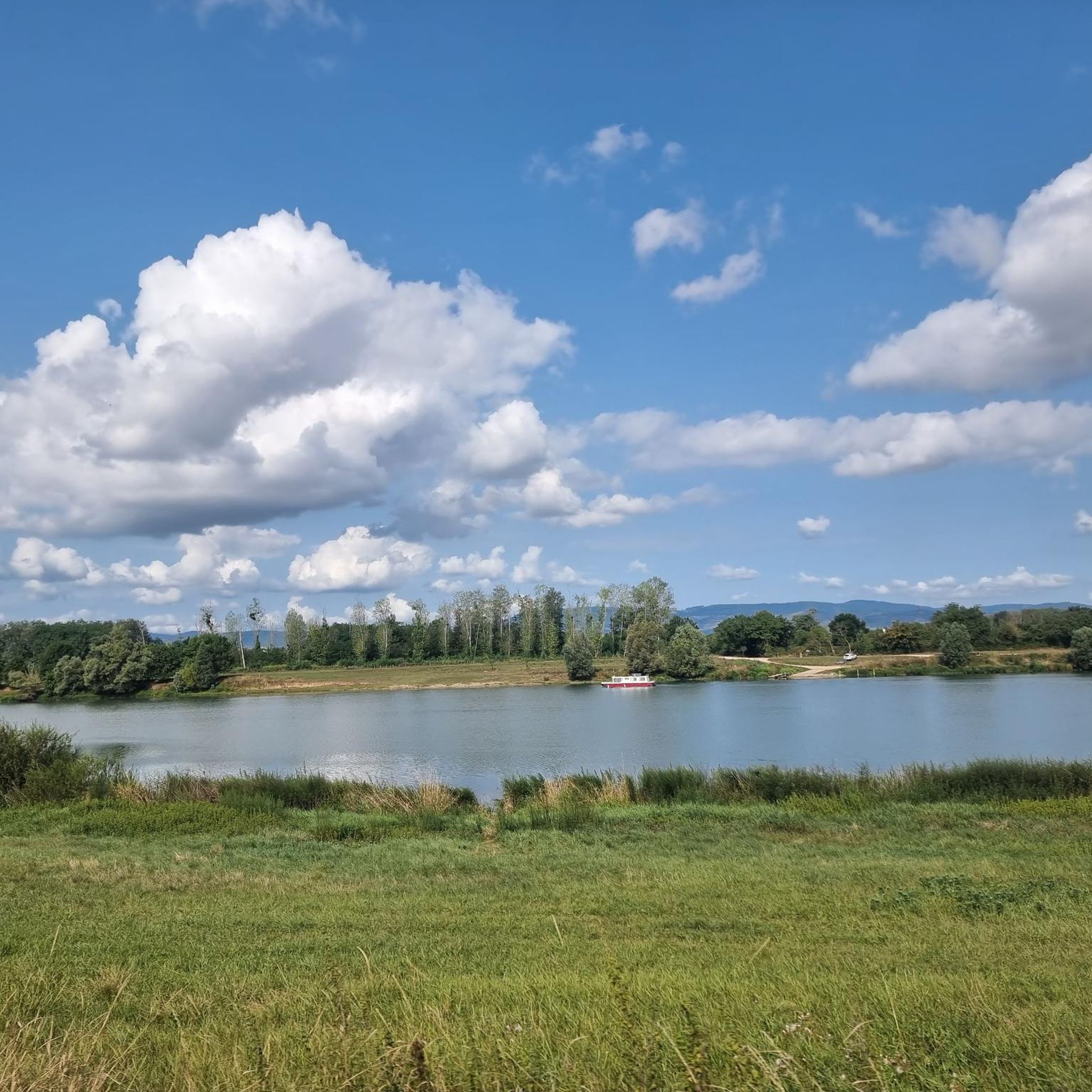
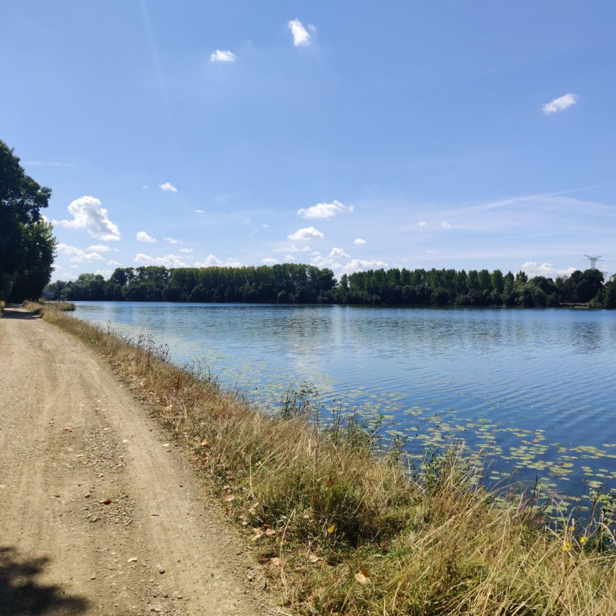
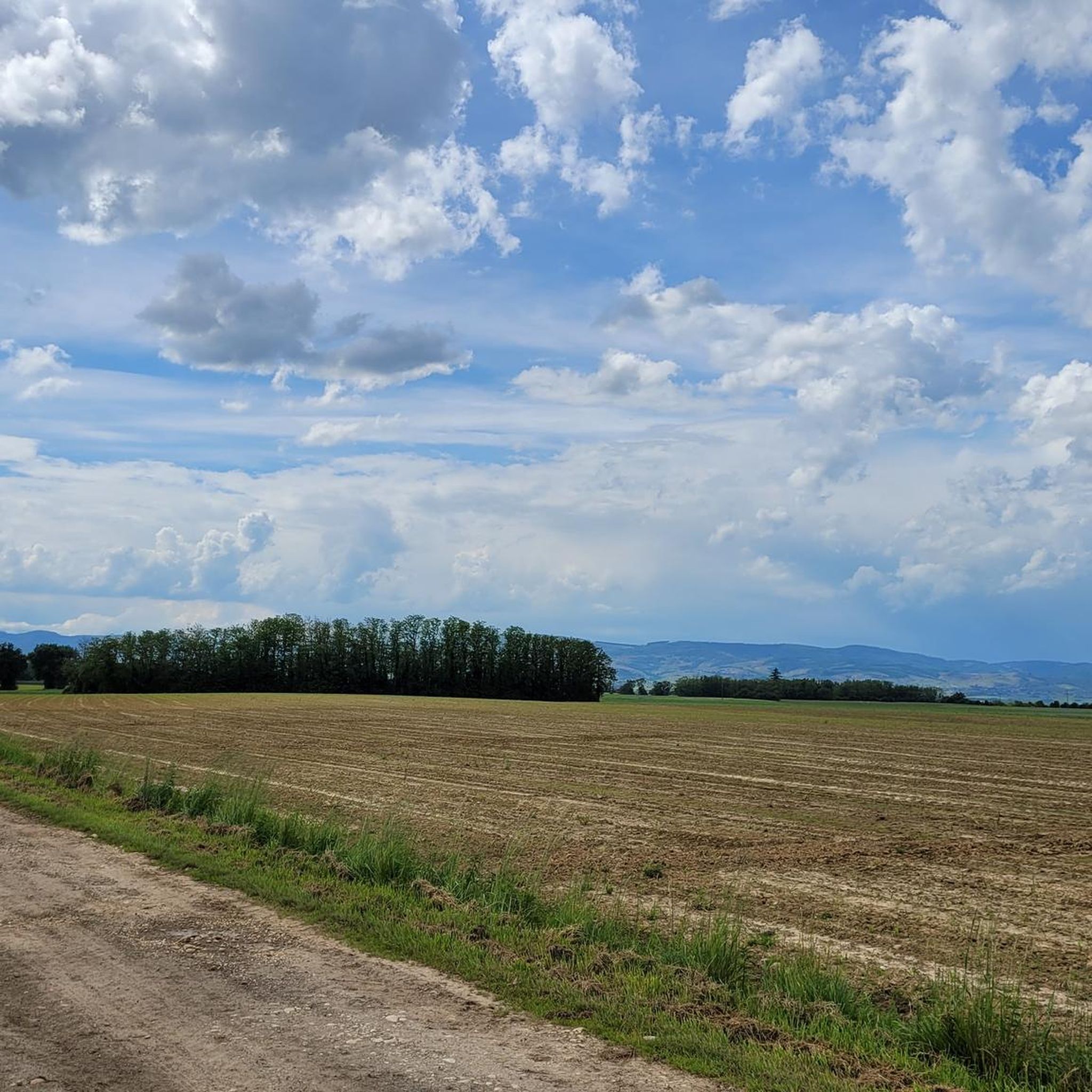
Road cycling routes around Genouilleux are set within the picturesque Saône valley, offering diverse landscapes for cyclists. The region features varied terrains, from the towpath of the Saône with views of the Monts du Beaujolais to the "bucolic plains" of Bresse and Dombes. The broader Ain department, where Genouilleux is located, provides an extensive network of cycling routes, including challenging climbs and dedicated trails. This area is characterized by riverine scenery, rolling hills, and a mix of open plains and…
Last updated: July 5, 2026
19
riders
48.2km
02:29
530m
530m
Moderate road ride. Good fitness required. Mostly well-paved surfaces and easy to ride.
5.0
(2)
5
riders
52.7km
02:16
350m
350m
Moderate road ride. Good fitness required. Mostly well-paved surfaces and easy to ride.

Sign up for free
9
riders
23.2km
00:55
100m
100m
Easy road ride. Great for any fitness level. Mostly well-paved surfaces and easy to ride.
8
riders
43.5km
01:48
280m
280m
Easy road ride. Great for any fitness level. Mostly well-paved surfaces and easy to ride.
3.7
(3)
9
riders
52.1km
02:13
340m
340m
Moderate road ride. Good fitness required. Some segments of this route may be unpaved and difficult to ride.
Get access to more routes and recommendations from other explorers.
Sign up for free
Already have an account?
Our route recommendations are based on thousands of hikes, rides, and runs completed by other people on komoot.
Start today with a free account
Your next adventure awaits.
Login or Signup

Tips from the Community

The Col de Durbize is a mountain pass at 550 meters above sea level in the municipality of Chiroubles, in the heart of the Beaujolais wine region. The pass is located in the Massif Central and, as an important road junction (intersection of roads D26, D86, and D18E1), connects surrounding wine villages such as Villié-Morgon and Beaujeu. It is particularly popular with road cyclists and hikers for its panoramic views.
0
0
Picturesque mill, which nestles idyllically into the landscape.
1
0
The pass is a popular climb for road cyclists in the region. The route from Villié-Morgon via the Col du Truges up to the higher Col du Fût d'Avenas is considered a scenically beautiful, steady tour past gentle vineyards.
0
0

Fleurie is a beautiful wine village in northern Beaujolais, known for its "Fleurie" cru. It has several wine cellars and a pleasant trail that starts from the town center and leads to the chapel of La Madone, which offers a superb view of the surroundings.
0
0

Quiet and ideal place for a picnic. Benches, tables and bicycle parking
0
0


While traveling along the Voie Bleue, it's best to take the sidewalk on the left over the bridge. To the left of the bridge, near the waterfront, is the restaurant "La Guinguette" 🍻
0
0
Frequently Asked Questions
How many road cycling routes are available around Genouilleux?
There are over 270 road cycling routes around Genouilleux, offering a wide variety of options for different skill levels and preferences. The broader Ain department, where Genouilleux is located, boasts an extensive network of 2,222 km of cycling routes, including 1,100 km of dedicated trails.
What kind of terrain and difficulty can I expect for road cycling in Genouilleux?
Road cycling around Genouilleux offers a diverse range of terrains. You can find easy rides along the towpath of the Saône, providing scenic views and flat sections. For more challenging experiences, the eastern parts of the Ain region feature 'calf-pulling passes' and 18 marked climbs, including the renowned Grand Colombier pass. Overall, there are 51 easy, 129 moderate, and 91 difficult routes available.
When is the best time of year for road cycling in Genouilleux?
The region around Genouilleux is generally pleasant for road cycling through much of the year. Spring and autumn offer comfortable temperatures and beautiful scenery. Summer can also be ideal, especially for rides along the river or in the early mornings/late afternoons. Winter cycling is possible, but conditions may vary, so checking local weather is always recommended.
Are there many circular road cycling routes in Genouilleux?
Yes, many road cycling routes around Genouilleux are designed as loops, allowing you to start and finish at the same point. For example, the popular Col de la Croix Rosier (721 m) – Col de la Roche (594 m) loop from Genouilleux is a moderate 34.3-mile (55.3 km) route with significant elevation gain.
What scenic views or landmarks can I expect on road cycling routes around Genouilleux?
Road cycling routes in Genouilleux offer picturesque views of the Saône valley and glimpses of the distant Monts du Beaujolais. You can also explore the unique Dombes region with its thousands of small lakes. Notable landmarks include the 18th-century Chavagneux Castle, the Church of St. Peter and St. Paul, and the Towpath along the Saône. The Mont Brouilly also offers stunning vistas.
Are there historical sites or charming villages to visit while cycling?
Absolutely. The region is rich in history and charming villages. You can visit the ancient village of Châtillon-sur-Chalaronne or Ars-sur-Formans, known for its basilica. Other historical sites like Fléchères Castle and the Renaissance neighborhood of Villefranche are also within reach, offering cultural excursions after your ride.
Are there easy road cycling routes suitable for beginners in Genouilleux?
Yes, Genouilleux offers several easy road cycling routes perfect for beginners or those seeking a relaxed ride. These often follow the 'bucolic plains' between Bresse and Dombes or the flat sections along the river towpaths. An example is the Roadbike loop from Mogneneins, an easy 14.4-mile (23.2 km) trail through flat plains.
Where can I find challenging road cycling routes near Genouilleux?
For experienced cyclists seeking a challenge, the region offers routes with significant climbs. The Ain department is famous for its 18 marked climbs, including the renowned Grand Colombier pass, which has been featured in the Tour de France. A challenging option closer to Genouilleux is the Col de Gerbet – Col de la Sibérie, 638 m loop from Genouilleux, a moderate route with substantial elevation gain.
Are there options for long-distance road cycling around Genouilleux?
Yes, the broader Ain region incorporates parts of well-regarded long-distance cycle routes like the ViaRhôna and the Voie Bleue, which offer extensive flat sections and riverine scenery. These routes provide excellent opportunities for longer rides, connecting various towns and natural attractions.
What do other road cyclists say about the routes in Genouilleux?
The road cycling routes in Genouilleux are highly rated by the komoot community, with an average score of 4.6 stars from over 100 reviews. More than 2000 road cyclists have used komoot to explore the varied terrain, often praising the scenic views, diverse landscapes, and the mix of challenging climbs and gentle plains.
Are there places to stop for refreshments or coffee along the road cycling routes?
While specific cafes are not listed, the charming villages and towns throughout the region, such as Châtillon-sur-Chalaronne, offer opportunities to stop for refreshments, coffee, or a meal. Many routes pass through or near these settlements, making it easy to plan a break during your ride.
Can I access road cycling routes in Genouilleux using public transport?
Genouilleux is situated in a region with developing cycling infrastructure. While specific public transport connections directly to trailheads might vary, major towns in the Ain department are generally accessible by regional transport. It's advisable to check local bus or train schedules for connections to starting points of routes, especially if you plan to cycle one-way or explore further afield.
Most popular routes around Genouilleux
Most popular attractions around Genouilleux

Get inspired with the komoot mobile app


Explore more
Browse the best Road cycling routes in other regions.
