The best road cycling routes around Charvieu-Chavagneux
4.7
(157)
2,423
riders
18
rides
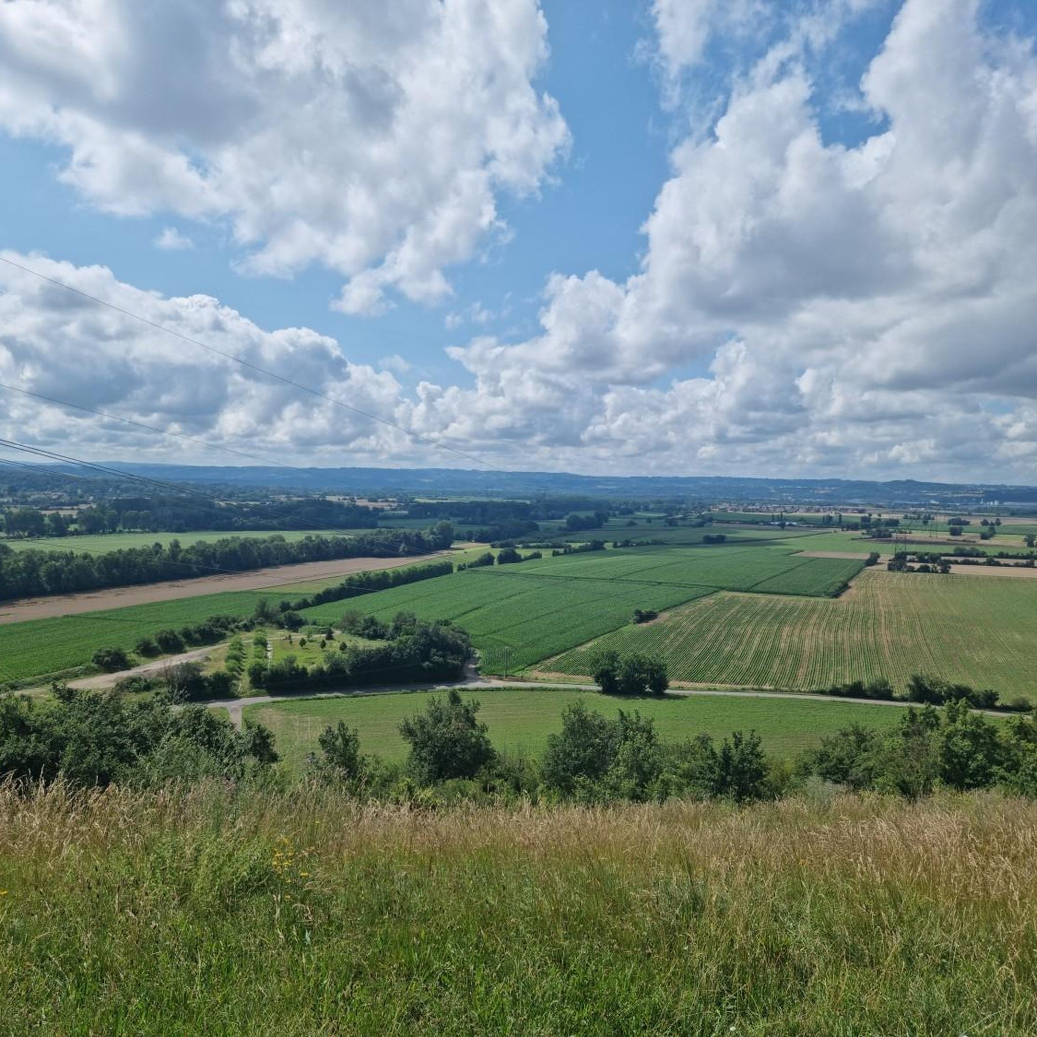
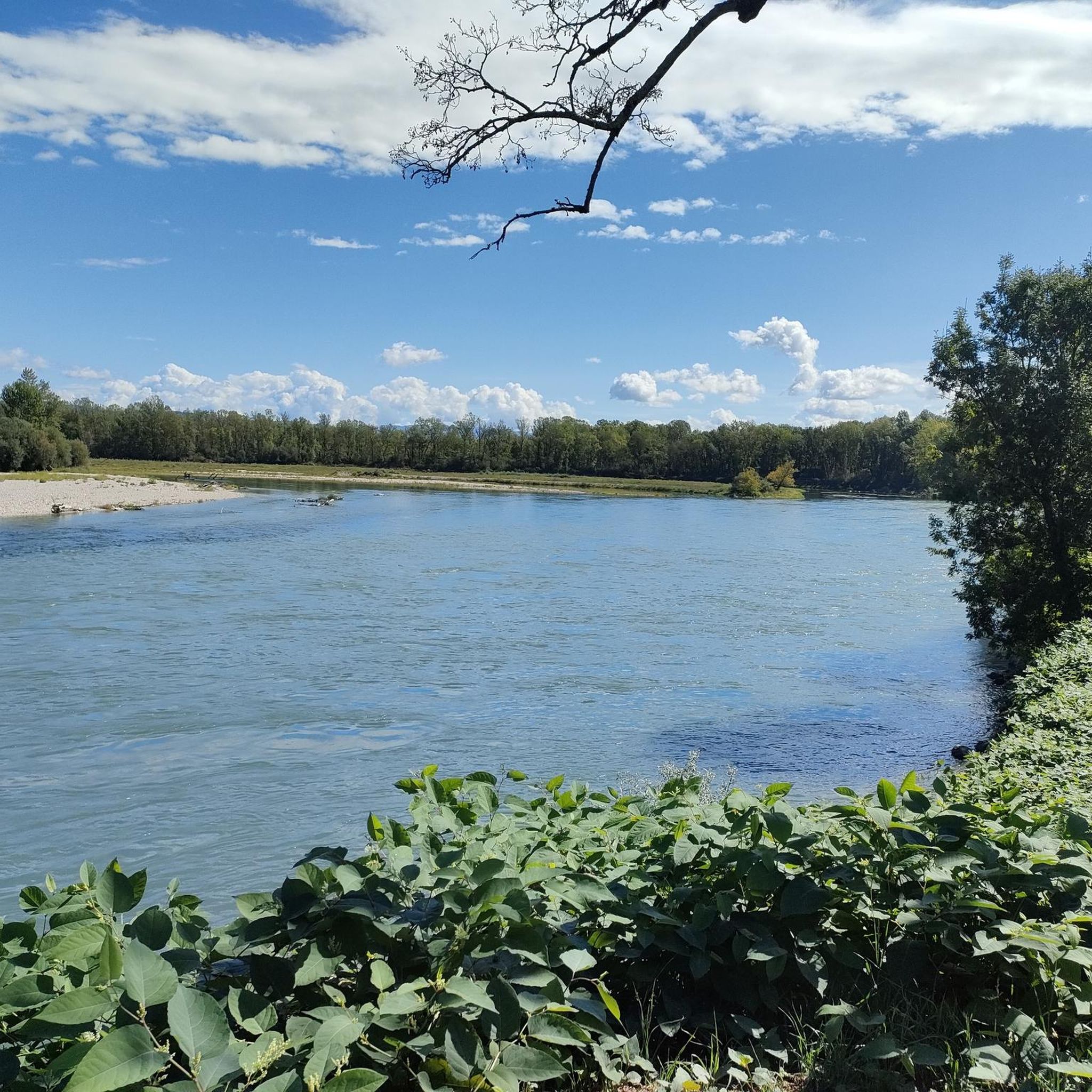
Road cycling routes around Charvieu-Chavagneux are set within the Isère department of the Auvergne-Rhône-Alpes region in France. The area features diverse landscapes, including river plains along the Bourbre, Rhône, and Ain rivers, offering relatively flat sections. The terrain also includes gentle hills and varied countryside, providing options for different cycling preferences. This geographical position allows for a mix of routes with moderate elevation gains.
Best road cycling routes around Charvieu-Chavagneux
- The most popular road cycling route is Madonna of Mas…
Last updated: July 2, 2026
4.9
(7)
84
riders
Moderate road ride. Good fitness required. Mostly well-paved surfaces and easy to ride.
13
riders
97.5km
03:59
510m
510m
Moderate road ride. Good fitness required. Some segments of this route may be unpaved and difficult to ride.

Sign up for free
10
riders
43.9km
02:00
220m
220m
Moderate road ride. Great for any fitness level. Some segments of this route may be unpaved and difficult to ride.
9
riders
29.0km
01:13
150m
150m
Moderate road ride. Great for any fitness level. Some segments of this route may be unpaved and difficult to ride.
5.0
(1)
7
riders
Moderate road ride. Good fitness required. Some segments of this route may be unpaved and difficult to ride.
Get access to more routes and recommendations from other explorers.
Sign up for free
Already have an account?
Our route recommendations are based on thousands of hikes, rides, and runs completed by other people on komoot.
Start today with a free account
Your next adventure awaits.
Login or Signup

Tips from the Community

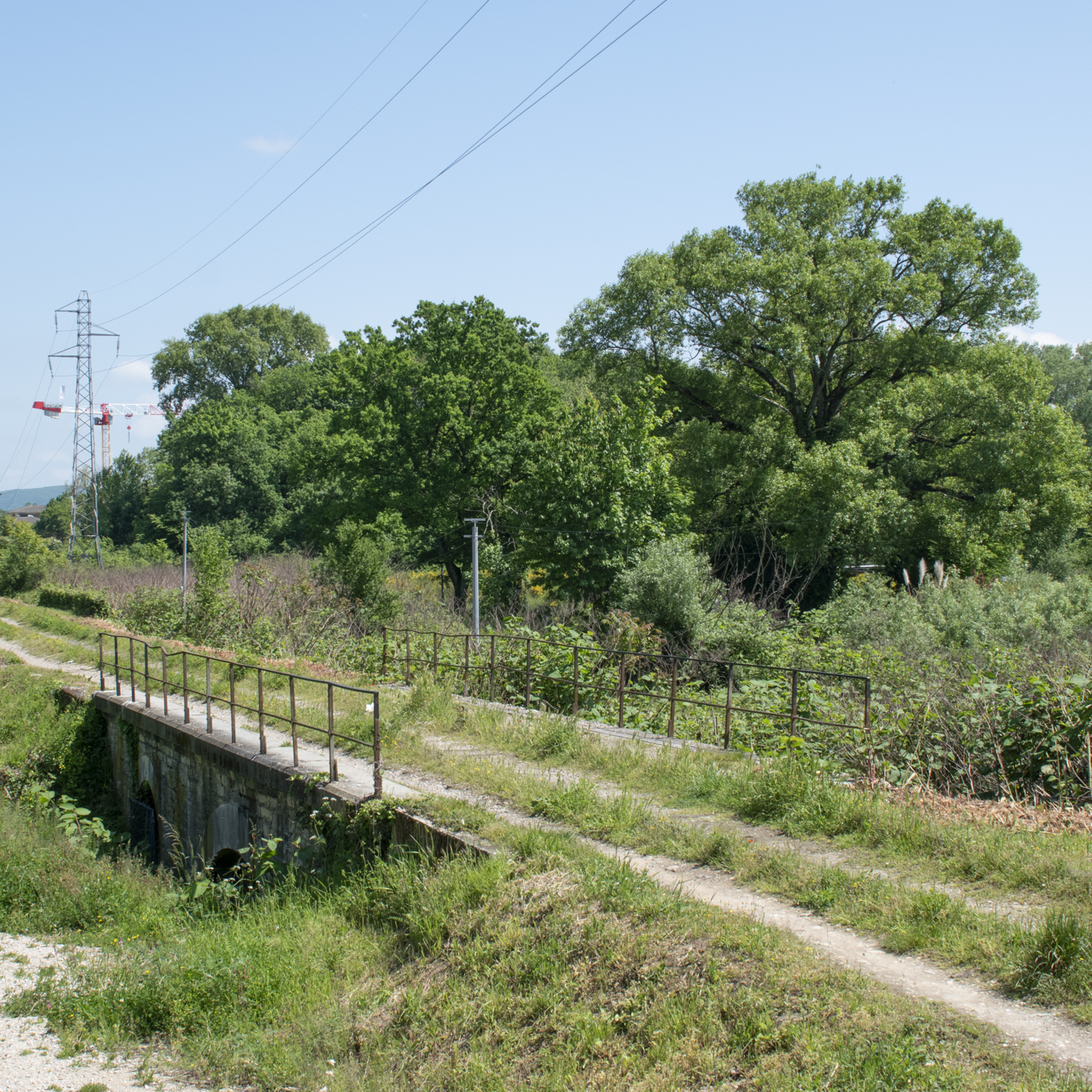
In January 1847, an inquiry was opened into projects towards Geneva, Besançon, Dôle-Châlons. In 1850, the Lyon Chamber of Commerce and Industry adopted the project for a rail link from Lyon to Chambéry via Saint Genis sur Guiers. Applications to operate this line were rejected until 1877. The works lasted 4 years, financed in part by Belgian capital. The inauguration took place on October 9, 1881, and the first train ran on October 30. The line started from the Gare de l'Est (Avenue Félix Faure) and ended at Sablonnières. It had 16 stations and 3 stops over a distance of 72 Kms. Passenger traffic increased from 4 daily round trips in 1897 to 8 in 1935. A passenger took 40 minutes on the 6:35 AM train to get from Lyon to Pont de Chéruy and 34 minutes to return to Lyon on the 7:23 PM train. Despite everything, the line was closed to passengers in December 1938, then reopened from September 1939 to December 31, 1947. VFD (Voie Ferrée du Dauphiné) coaches took over the service between Crémieu and Lyon; Freight traffic supplied the main industries (Grammont in Pont de Chéruy and Vicat in Bouvesse) as well as the various industrial zones. The network served 70 private sidings. At its peak in 1935, 1,000,000 tons transited this line. The decision by the cement works to no longer use the rail in 1978 was to deal it a "fatal" blow. In 1980, in its last year, 540,244 tons (including 150,130 of scrap metal) were still transported. In 2001, CoUrLy (Community of Urban Areas of Lyon) and the General Council of the Rhône adopted a decision to reactivate passenger traffic on part of the route of the Eastern line. The objective is to connect Lyon to Saint Exupéry airport.
0
0

Very beautiful village with character, entirely made of stone; from the village, you can see the Madonna of the Larina Archaeological site.
0
0
It was erected in the 15th century. Originally, it was just a modest oratory (half the size of the current chapel). At that time, Philip of Savoy fell from his horse near the site where the chapel was later built. His wife, Margaret of Bourbon, fearing for his life, vowed to build an oratory and a church in Brou if he survived. He recovered, but sadly, his wife died in 1483. It was therefore his second wife, Claudine de Brosse, also known as Claudine de Bretagne Penthièvre, who had the chapel built on the spot where her husband had his accident. Initially, it was a small oratory: a ribbed vault without any openings. It was Margaret of Austria, daughter-in-law of Margaret of Savoy, who fulfilled the second vow. In 1867, the chapel was enlarged and looted. A statue of the mother and child, which had been placed in a niche on the facade, was replaced by a painting. https://www.saintejulie.fr/chapelle-notre-dame-de-lorette/
0
0

Shaky section in the rails of the Eastern Lyon Railway
0
0
Beautiful little town, quite touristy, but worth the detour
0
0

Beautiful stone village and World Heritage Market Hall
0
0


Although first mentioned in 1540, the Cingle fortified house was undoubtedly built in the second half of the 14th century by the Pèlerin family. Originally composed of a main tower and a wing back to the west, it perhaps originally included a curtain wall. During the 15th century, the south wing was extended towards the west, a main building comprising a lower room and an upper room was attached to the north of the main tower, while a turret occupied on the first floor by an oratory and on the second by a dovecote is built to the east, projecting. A wing including the kitchen on the ground floor is also built at right angles to the north of the courtyard. The farm itself retains some architectural elements dating from the 16th century. Source: Ministry of Culture
1
0
Frequently Asked Questions
How many road cycling routes are available in Charvieu-Chavagneux?
There are over 20 road cycling routes around Charvieu-Chavagneux, offering a variety of distances and difficulty levels for cyclists to explore.
What kind of terrain can I expect on road cycling routes around Charvieu-Chavagneux?
The region offers diverse terrain, including river plains along the Bourbre, Rhône, and Ain rivers for relatively flat sections, as well as gentle hills and varied countryside. This mix provides options for different cycling preferences, from easy rides to more challenging routes with moderate elevation gains.
Are there routes suitable for beginners or families in Charvieu-Chavagneux?
Yes, Charvieu-Chavagneux offers several easy road cycling routes. An example is the Jameyzieu Bridge loop from Charvieu-Chavagneux, which is 31.7 km long with an easy difficulty grade, making it suitable for those looking for a less strenuous ride.
What are some of the longer road cycling routes in the area?
For longer rides, consider the Madonna of Mas Rillier – Miribel ford loop from Charvieu-Chavagneux, which spans 60.9 km, or the Loyettes bridge – Bugey power plant loop from Charvieu-Chavagneux, covering 50.3 km. Both offer varied terrain and scenic views.
Can I find routes with significant elevation gain for a challenge?
While the region is characterized by gentle hills, some routes do offer notable elevation gains. The Madonna of Mas Rillier – Miribel ford loop from Charvieu-Chavagneux, for instance, features over 310 meters of ascent, providing a good workout for those seeking a challenge.
Are there any circular road cycling routes around Charvieu-Chavagneux?
Many of the road cycling routes in Charvieu-Chavagneux are designed as loops, allowing you to start and end in the same location. Examples include the Jons Road Bridge – Saint-Maurice Church loop from Charvieu-Chavagneux and the Bois des Franchises – Chavanot Town Hall loop from Charvieu-Chavagneux.
What natural features or scenic spots can I see while cycling?
The routes often pass by beautiful natural sites, including areas near the Bourbre, Rhône, and Ain rivers. You might also encounter 'jolis plans d'eau' (pretty bodies of water) such as transformed gravel pits and the Étang du Peillard, offering picturesque views and serene stops.
Are there historical landmarks or points of interest along the routes?
Yes, the region is rich in history. While cycling, you can explore nearby attractions such as the medieval town of Crémieu, known for its ramparts, or pass by sites like the Château de Bienassis. The Jons Road Bridge – Saint-Maurice Church loop, for example, offers scenic sections near river crossings and through local countryside with historical significance.
What do other cyclists say about the road cycling experience in Charvieu-Chavagneux?
The road cycling routes in Charvieu-Chavagneux are highly rated by the komoot community, with an average score of 4.5 stars from more than 5 reviews. Cyclists often praise the varied terrain, scenic river sections, and the mix of gentle hills and flat paths that cater to different skill levels.
When is the best time of year to go road cycling in Charvieu-Chavagneux?
The Auvergne-Rhône-Alpes region generally offers pleasant cycling conditions from spring through autumn. Spring brings blooming landscapes, while summer provides warm weather for longer rides. Autumn offers cooler temperatures and beautiful fall foliage, making these seasons ideal for exploring the routes.
Is public transport available to access the cycling routes?
Charvieu-Chavagneux is situated in the Isère department, and while specific public transport links directly to route starting points for cyclists may vary, regional bus services connect the town to larger hubs. It's advisable to check local transport schedules for options that accommodate bicycles.
Where can I find parking for road cycling routes in Charvieu-Chavagneux?
As Charvieu-Chavagneux is a commune, parking is generally available in and around the town center and near various starting points of the routes. Look for public parking areas in the vicinity of the town hall or local amenities before embarking on your ride.
Are there any challenging routes for experienced road cyclists?
While most routes are moderate, the area does offer options for experienced cyclists. The varied countryside and gentle hills provide opportunities for longer distances and cumulative elevation gain. For instance, the Madonna of Mas Rillier – Miribel ford loop offers a substantial distance and over 300 meters of climbing.
Most popular routes around Charvieu-Chavagneux
Most popular attractions around Charvieu-Chavagneux

Get inspired with the komoot mobile app


Explore more
Browse the best Road cycling routes in other regions.
