The best walks and hikes around Vinzieux
4.6
(736)
4,873
hikers
383
hikes
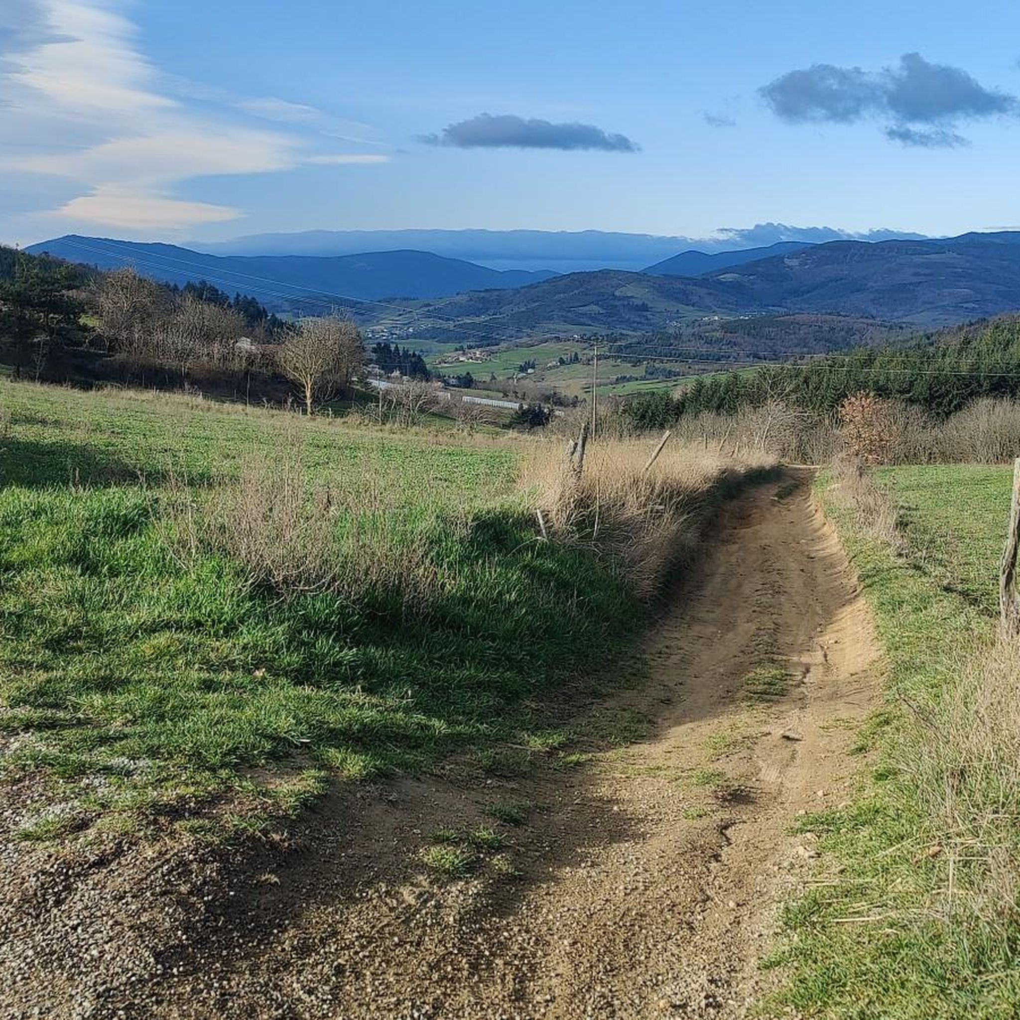
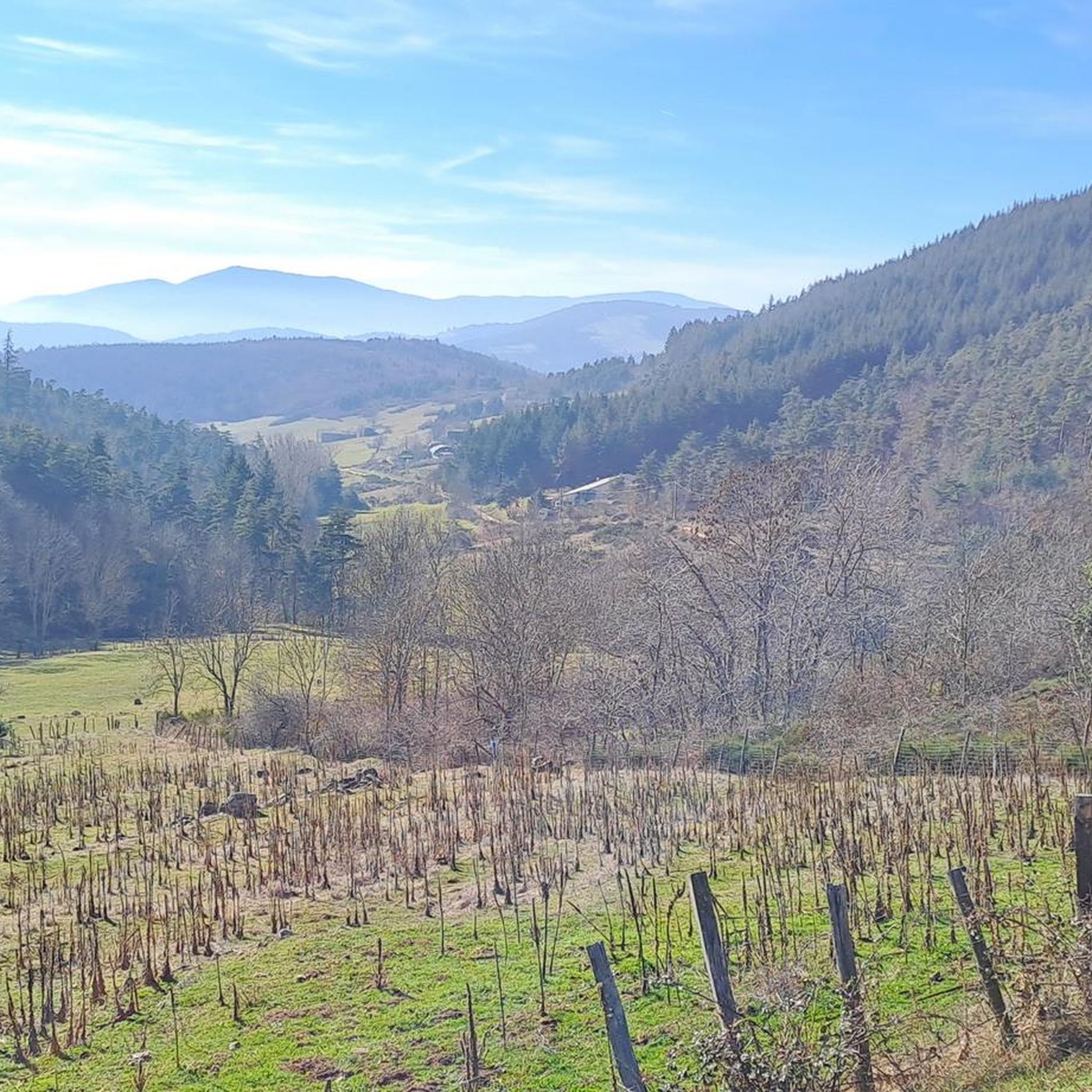
Hiking around Vinzieux offers diverse terrain within the Ardèche department in southeastern France. The region features gently sloping hillsides, ridges, and valleys, with views of the Rhône River. It is situated at the gates of the Pilat Regional Natural Park, providing access to forests and plateaus. The landscape also includes picturesque river valleys interspersed with vineyards.
Best hiking trails around Vinzieux
- The most popular hiking route is Col du Fayet (611 m) – Col du Fayet loop from Savas,…
Last updated: July 1, 2026
5.0
(2)
31
hikers
9.07km
02:37
230m
230m
Moderate hike. Good fitness required. Easily-accessible paths. Suitable for all skill levels.
5.0
(2)
23
hikers
8.84km
02:39
280m
280m
Moderate hike. Good fitness required. Easily-accessible paths. Suitable for all skill levels.

Sign up for free
4.8
(4)
13
hikers
10.6km
03:12
340m
340m
Moderate hike. Good fitness required. Easily-accessible paths. Suitable for all skill levels.
5.0
(2)
7
hikers
3.95km
01:08
100m
100m
Easy hike. Great for any fitness level. Easily-accessible paths. Suitable for all skill levels.
7
hikers
4.91km
01:25
120m
130m
Easy hike. Great for any fitness level. Easily-accessible paths. Suitable for all skill levels.
Get access to more routes and recommendations from other explorers.
Sign up for free
Already have an account?
Our route recommendations are based on thousands of hikes, rides, and runs completed by other people on komoot.
Start today with a free account
Your next adventure awaits.
Login or Signup
Tips from the Community

Climbed from Serrières, passing through the vineyards to avoid the main road. A real pleasure to climb, the road is not very busy.
0
0

The Col du Fayet is 9.68m long with a total drop of 470m. The average gradient is 4.86% with maximum gradients of 7.1%.
1
0

Frequently Asked Questions
How many hiking trails are available around Vinzieux?
There are nearly 400 hiking trails around Vinzieux, offering a wide range of options for all skill levels. This includes over 110 easy routes, nearly 200 moderate trails, and more than 60 difficult paths for experienced hikers.
What kind of terrain can I expect on hikes near Vinzieux?
The terrain around Vinzieux is quite varied, reflecting its location at the gates of the Pilat Regional Natural Park and proximity to the Rhône Valley. You'll find gently sloping hillsides, ridges, and valleys, often with views of the Rhône River. Trails can lead through forests, plateaus, and picturesque river valleys interspersed with vineyards. Some routes, especially those leading to summits like The Three Teeth, can be technical with numerous stones and vegetation.
Are there any family-friendly hiking options in Vinzieux?
Yes, Vinzieux offers several family-friendly hiking options, particularly among the over 110 easy routes available. These trails typically feature gentler inclines and shorter distances, perfect for outings with children. Look for routes that explore the local woodlands and vineyards for a pleasant family adventure.
Can I bring my dog on the hiking trails around Vinzieux?
Many trails around Vinzieux are suitable for dogs, but it's always recommended to keep your dog on a leash, especially in areas with livestock or protected wildlife. Always check local signage for specific regulations within the Pilat Regional Natural Park or other sensitive areas. Ensure you carry enough water for both yourself and your pet.
What are some notable natural features or viewpoints to look out for?
The region boasts several impressive natural features and viewpoints. The Col de l'Œillon, at 1233 meters, offers superb 360-degree panoramic views and can be extended to Crêt de l'Oeillon. Another distinctive geological formation is The Three Teeth, providing incredible views of the Pilat crests and the Rhône valley. You might also encounter picturesque river valleys and vineyards.
Are there any circular walks available near Vinzieux?
Yes, many of the trails around Vinzieux are designed as circular routes, allowing you to start and end at the same point. An example is the moderate Col du Fayet (611 m) – Col du Fayet loop from Vinzieux, which covers about 8.8 km. Another popular option is the View of the Hill – Way loop from Félines, a moderate 13.1 km path.
What do other hikers enjoy most about hiking in Vinzieux?
The area is highly rated by the komoot community, with an average score of 4.6 stars from over 680 reviews. Hikers often praise the diverse landscapes, from the Rhône Valley views to the woodlands and vineyards. The variety of routes, catering to different difficulty levels, is also frequently highlighted, allowing everyone to find a suitable adventure.
Are there any attractions near the hiking trails that I can explore?
Beyond the trails, the region offers several attractions. The Saint-Pierre-de-Bœuf Dam on the Rhône is notable, and nearby you'll find a dedicated white water area for activities like rafting and kayaking. For a more tranquil experience, Lake Ternay offers a peaceful setting. The wider Ardèche region is also known for its picturesque villages and significant caves like the Chauvet Cave.
What is the best time of year to go hiking in Vinzieux?
The Ardèche department, where Vinzieux is located, generally offers pleasant hiking conditions from spring through autumn. Spring brings blooming wildflowers, while autumn showcases vibrant foliage. Summer can be warm, so early morning or late afternoon hikes are often preferred. Winter hiking is possible, but higher elevations, especially in the Pilat Regional Natural Park, may experience colder temperatures and occasional snow.
Is public transport available to reach hiking trailheads near Vinzieux?
While Vinzieux is well-situated for exploring the surrounding natural areas, public transport options directly to specific trailheads can be limited. It's advisable to check local bus schedules or consider driving to access a wider range of starting points. Parking information is often available for popular trailheads.
Are there any challenging hikes for experienced hikers?
Yes, Vinzieux offers challenging routes for experienced hikers. For example, the Pichère du Loup loop from Félines is a difficult 12.2 km path with significant elevation gain through varied terrain. These more strenuous trails often lead to higher viewpoints and offer a greater sense of accomplishment.
Most popular attractions around Vinzieux

Get inspired with the komoot mobile app


Explore more
Browse the best Hikes in other regions.
