The best walks and hikes around Saint-Jacques-D'Atticieux
4.6
(1307)
8,865
hikers
390
hikes
Hiking around Saint-Jacques-D'Atticieux offers diverse landscapes within the Ardèche region of Auvergne-Rhône-Alpes, France. The area features captivating views of the Pilat Mountains and the sprawling Rhône Valley from its elevated ridge position. Prominent natural features include the Ternay Dam and its lake, which are central to several popular hiking routes. Trails traverse tranquil forest environments, cultivated slopes, and picturesque valleys.
Best hiking trails around Saint-Jacques-D'Atticieux
- The most popular hiking route is Barrage du Ternay – Ternay Dam loop from Auvergne-Rhône-Alpes, a 3.7 miles (5.9 km) trail that takes 1 hour 35 minutes to complete. This easy route circles the scenic Ternay Dam and Lake.
- Another top favourite among local hikers is Ternay Dam Loop – Ternay Dam and Lake loop from Saint-Julien-Molin-Molette, a moderate 9.2 miles (14.8 km) path. This route offers extended views around the Ternay Dam and its surrounding natural areas.
- Local hikers also love the Pilat – View of Saint-Sabin Church loop from Maclas, a 4.9 miles (7.9 km) trail leading through the Pilat region with views towards Saint-Sabin Church, often completed in about 2 hours 17 minutes.
- Hiking around Saint-Jacques-D'Atticieux is defined by views of the Pilat Mountains, the Rhône Valley, and routes around the Ternay Dam and Lake. The network offers options for various ability levels, from easy walks to more challenging paths.
- The routes in Saint-Jacques-D'Atticieux are highly rated by the komoot community with an average score of 4.6 stars from over 1,200 reviews. More than 8,800 hikers have used komoot to explore Saint-Jacques-D'Atticieux's varied terrain.
Last updated: May 20, 2026
4.3
(8)
27
hikers
Moderate hike. Good fitness required. Easily-accessible paths. Suitable for all skill levels.
5.0
(2)
17
hikers
8.02km
02:18
190m
190m
Moderate hike. Good fitness required. Easily-accessible paths. Suitable for all skill levels.

Sign up for free
5.0
(3)
13
hikers
6.77km
01:59
200m
200m
Easy hike. Great for any fitness level. Easily-accessible paths. Suitable for all skill levels.
4.3
(4)
19
hikers
8.99km
02:53
390m
390m
Moderate hike. Good fitness required. Easily-accessible paths. Suitable for all skill levels.
5.0
(1)
16
hikers
Hard hike. Very good fitness required. Easily-accessible paths. Suitable for all skill levels.
Get access to more routes and recommendations from other explorers.
Sign up for free
Already have an account?
Our route recommendations are based on thousands of hikes, rides, and runs completed by other people on komoot.
Start today with a free account
Your next adventure awaits.
Login or Signup
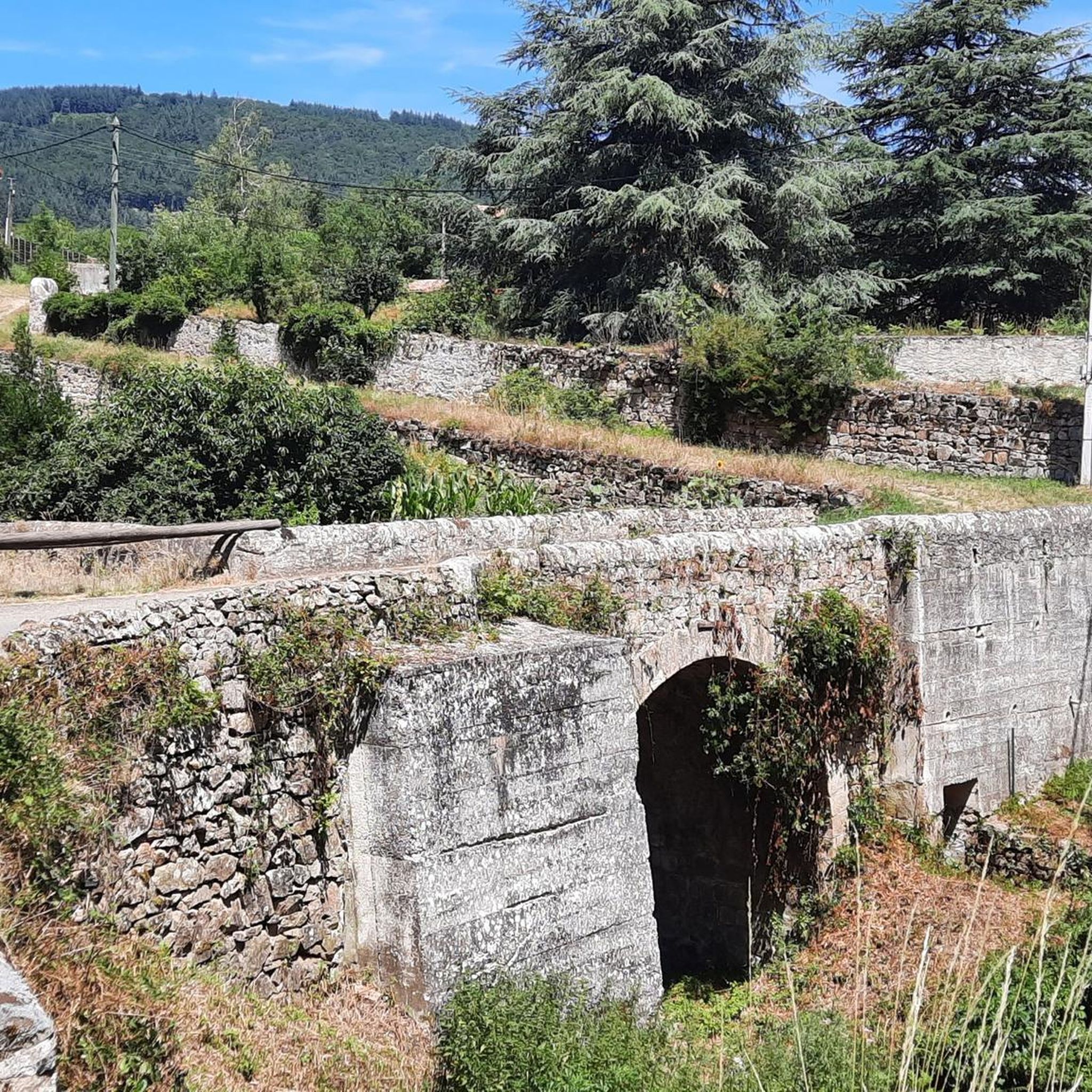
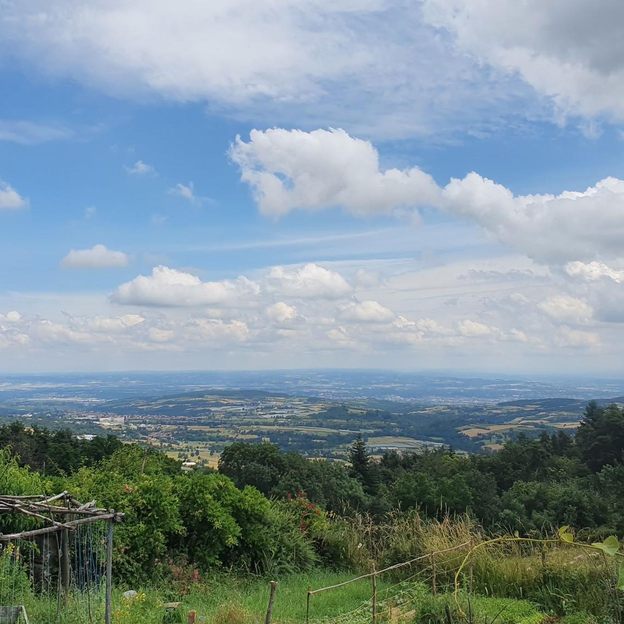
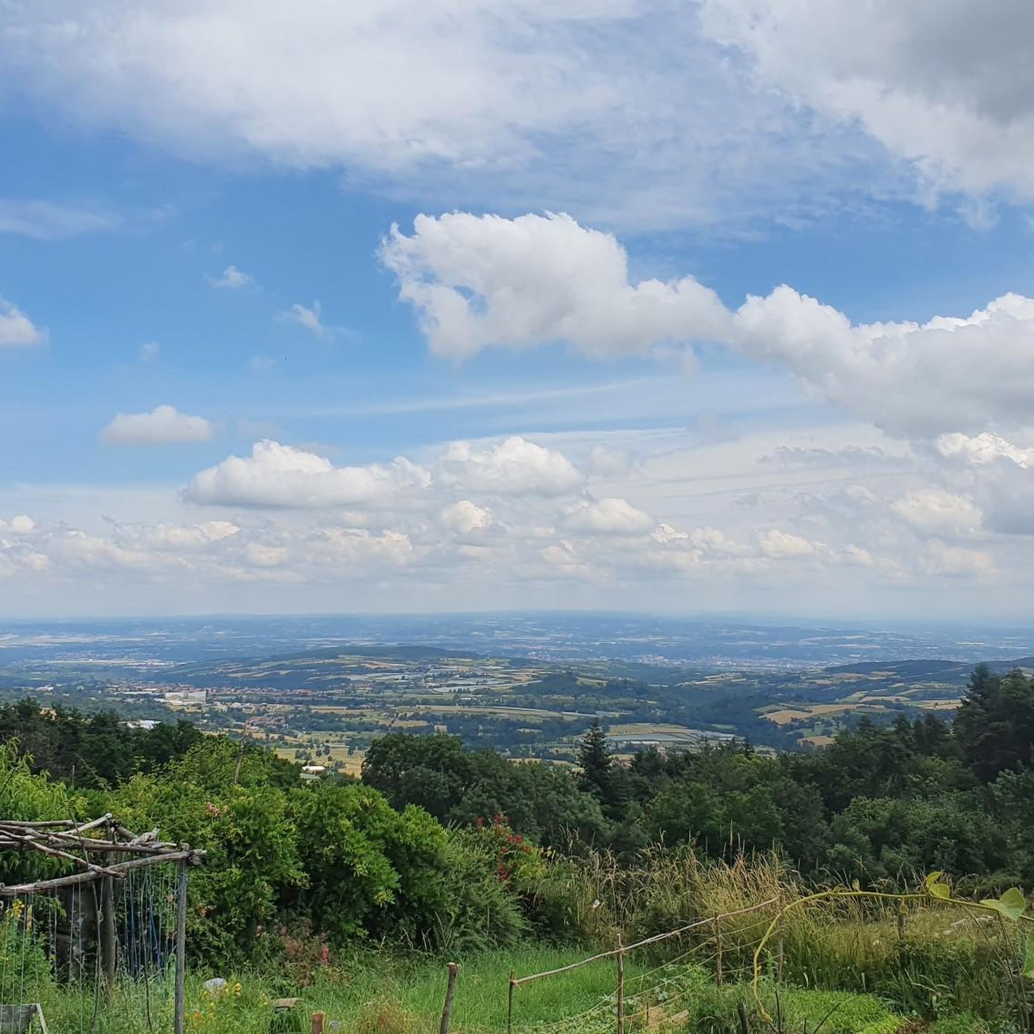
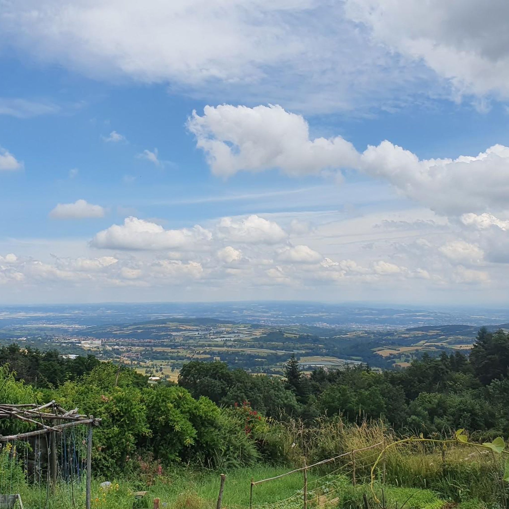
Tips from the Community

Only 100 kilometers to Le Puy
0
0

A pleasant path of about 4 kilometers, called the "Chemin de Ronde", lined with Cedars of Lebanon and a few sequoias, goes around this 30-hectare lake.
0
0
Built in 1858 to supply Annonay with drinking water, the Ternay dam now offers a pleasant shaded place where walkers and runners meet.
0
0

It looks like a repurposing is being found for it? Buildings in decay: always a shame but also a beauty in itself...
0
0

Drinking water and public toilets at the dam. The tour of the dam is one-way and a little dented by the roots of hundred-year-old cedars. But it's so nice.
0
0

Built in 1858 to supply Annonay with drinking water, the Ternay dam now offers a pleasant shaded place where walkers and runners meet. A pleasant path of about 4 kilometers, called the "Chemin de Ronde", lined with Cedars of Lebanon and a few sequoias goes around this 30-hectare lake.
1
0
Frequently Asked Questions
How many hiking trails are available around Saint-Jacques-D'Atticieux?
There are over 390 hiking trails in the Saint-Jacques-D'Atticieux area, offering a wide range of options for different skill levels and preferences. This includes 114 easy routes, 207 moderate routes, and 69 difficult routes.
Are there easy hiking trails suitable for beginners or families?
Yes, Saint-Jacques-D'Atticieux offers many easy trails perfect for beginners or families. A popular choice is the Barrage du Ternay – Ternay Dam loop from Auvergne-Rhône-Alpes, which is 5.9 km long and circles the scenic Ternay Dam and Lake. Another accessible option is the Ternay Dam and Lake – Ternay Dam Loop loop from Auvergne-Rhône-Alpes, a 6.7 km route also around the dam.
What are some more challenging hiking options in the area?
For those seeking a greater challenge, the region provides routes with significant elevation gains. The Ternay Dam Loop – Ternay Dam and Lake loop from Saint-Julien-Molin-Molette is a moderate 14.8 km path with over 350 meters of elevation gain, offering extended views. There are 69 difficult routes in total for experienced hikers.
Can I bring my dog on the hiking trails in Saint-Jacques-D'Atticieux?
Many trails in the Saint-Jacques-D'Atticieux area and within the nearby Pilat Regional Natural Park are dog-friendly. It's always recommended to keep your dog on a leash, especially in protected areas or near livestock, and to check specific trail regulations if available.
Are there any circular hiking routes around Saint-Jacques-D'Atticieux?
Yes, the area is rich in circular routes. The Hiking loop from Saint-Jacques-d'Atticieux is a moderate 8.9 km trail starting directly from the village. Other popular circular options include the various loops around the Ternay Dam, such as the Barrage du Ternay – Ternay Dam loop.
What kind of views or natural features can I expect to see while hiking?
Hikers in Saint-Jacques-D'Atticieux can enjoy diverse landscapes. You'll find captivating views of the Pilat Mountains and the sprawling Rhône Valley. The Ternay Dam and its lake are central features, offering scenic routes. Trails also traverse tranquil forest environments, cultivated slopes, and picturesque valleys. Notable viewpoints include the View of the Rhône Valley and the Alps from the Col du Gratteau.
Is there public transport access to the hiking trailheads?
While Saint-Jacques-D'Atticieux is a rural village, public transport options might be limited directly to all trailheads. It is advisable to check local bus schedules for connections to nearby towns like Maclas or Saint-Julien-Molin-Molette, from which some routes, such as the Ternay Dam Loop from Saint-Julien-Molin-Molette, may be accessible.
Where can I find parking for hikes, especially near the Ternay Dam?
Parking is generally available near popular trailheads. For hikes around the Ternay Dam, you can typically find designated parking areas close to the dam itself or in the nearby villages like Saint-Julien-Molin-Molette, which serve as starting points for routes like the Ternay Dam Loop.
What do other hikers enjoy the most about hiking in Saint-Jacques-D'Atticieux?
The hiking routes in Saint-Jacques-D'Atticieux are highly rated by the komoot community, with an average score of 4.6 stars from over 1,200 reviews. Hikers often praise the diverse landscapes, the stunning views of the Pilat Mountains and Rhône Valley, and the well-maintained trails around the Ternay Dam.
Are there any specific landmarks or points of interest to look out for on the trails?
Yes, the region offers several interesting landmarks. You can find views towards the Romanesque-style church in Saint-Jacques-D'Atticieux itself. The Pilat – View of Saint-Sabin Church loop from Maclas offers views of Saint-Sabin Church. Other natural monuments and viewpoints include the Crêt de l'Œillon and the Chaubouret Cross.
What is the best time of year to go hiking in Saint-Jacques-D'Atticieux?
The best time to hike in Saint-Jacques-D'Atticieux is generally during spring, summer, and autumn. Spring brings lush greenery and wildflowers, while autumn offers beautiful foliage. Summer is also popular, though it can be warmer, making early morning or late afternoon hikes preferable. Winter hikes are possible but may require appropriate gear for colder conditions.
Most popular routes around Saint-Jacques-D'Atticieux
Most popular attractions around Saint-Jacques-D'Atticieux

Get inspired with the komoot mobile app


Explore more
Browse the best Hikes in other regions.
