The best walks and hikes around Morlhon-Le-Haut
4.4
(59)
364
hikers
39
hikes
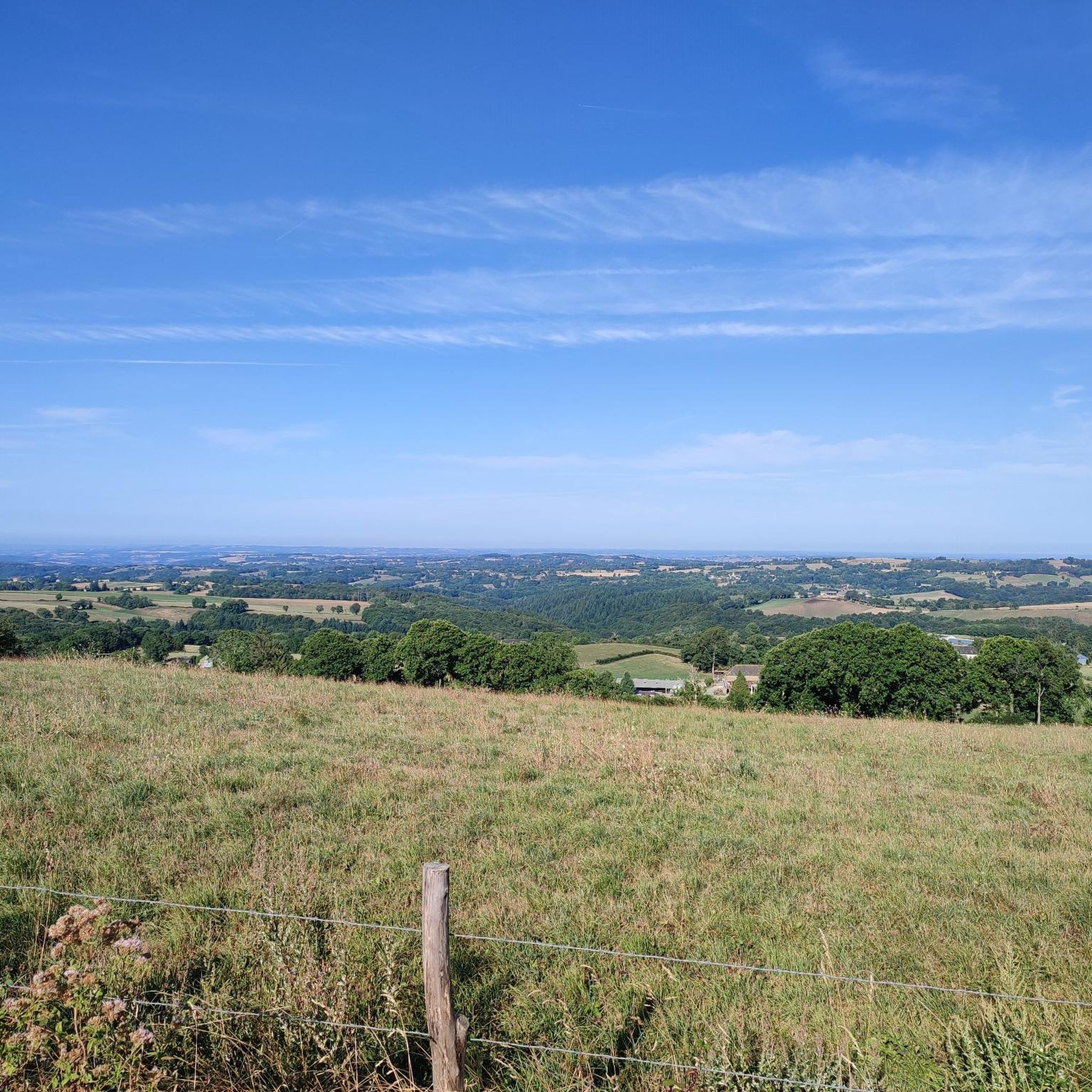
Hiking around Morlhon-Le-Haut offers access to a landscape characterized by rolling hills, river valleys, and agricultural land. The region features a mix of open fields and wooded areas, providing varied scenery for outdoor activities. Elevation changes are generally moderate, making many paths accessible. The terrain primarily consists of well-maintained trails and country roads.
Best hiking trails around Morlhon-Le-Haut
- The most popular hiking route is Circuit du Boï – loop starting from Villefranche-de-Rouergue, a 5.6 miles (8.9 km) trail that…
Last updated: July 2, 2026
4.6
(12)
33
hikers
8.94km
02:41
280m
280m
Moderate hike. Good fitness required. Easily-accessible paths. Suitable for all skill levels.
4.3
(4)
34
hikers
8.52km
02:16
90m
90m
Moderate hike. Good fitness required. Easily-accessible paths. Suitable for all skill levels.

Sign up for free
12
hikers
4.42km
01:18
120m
120m
Easy hike. Great for any fitness level. Easily-accessible paths. Suitable for all skill levels.
7
hikers
Moderate hike. Good fitness required. Easily-accessible paths. Suitable for all skill levels.
2.5
(2)
3
hikers
Moderate hike. Good fitness required. Easily-accessible paths. Suitable for all skill levels.
Get access to more routes and recommendations from other explorers.
Sign up for free
Already have an account?
Our route recommendations are based on thousands of hikes, rides, and runs completed by other people on komoot.
Start today with a free account
Your next adventure awaits.
Login or Signup

Tips from the Community

Thursday is market day, highly recommended.
1
0
On Thursdays, a large market with many local products takes place here.
0
0

“Each of these crosses can tell its own story and what motivated people to erect “their” cross at this spot. (...) These wayside crosses were erected as visible signs and attract the attention of many people. The cross is a symbol of life. It stands as a sign of our Christian hope and aims to direct our gaze to Jesus Christ, who has overcome death (...). The cross is part of our lives, just as it was part of Jesus’ life. So I hope that many people... will visit the wayside crosses, whether as places of silence and breathing before God, whether as places of community gathering, prayer and praise of God.” (Text source: Dean Rainald M. Ollig in: “Wayside crosses... small sacred monuments as signs of popular piety”)
0
0

Villefranche-de-Rouergue is a sub-prefecture of Aveyron. It is labeled "Grand Site d'Occitanie" and "Pays d'Art et d'Histoire". The city was founded in 1252. Among the architectural heritage of the bastide, there is the Collegiate Church and its porch, the arcades that go around the Place Notre-Dame, the alleys, the beautiful period residences and the Chartreuse Saint - 15th century saviour.
1
0

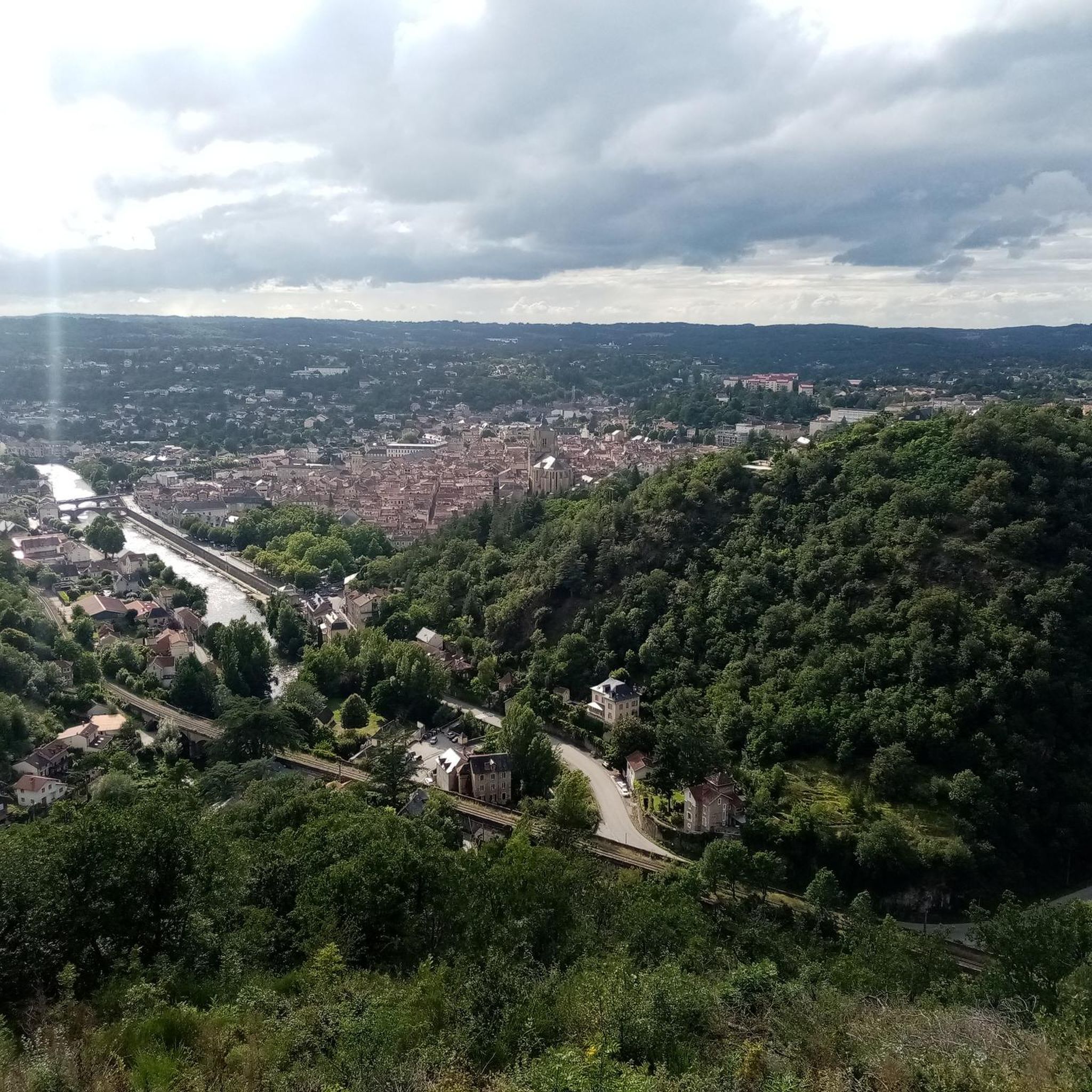
The Calvary and the church of Saint-Jean d'Aigremont, at the confluence of the Aveyron and the Alzou, dominate Villefranche-de-Rouergue and thus offer a magnificent view of the city.
4
0

One of the largest medieval bastides in France, in the heart of Aveyron. Place Notre-Dame, surrounded by arcades surmounted by impressive Gothic-style houses, is cited as one of the most beautiful squares in Europe. Every Thursday morning, one of the most beautiful markets in the southwest is held there, not to be missed!
3
0

Beautiful central square, partly surrounded by historic houses and arcades and the Notre-Dame church.
1
0

The royal town of Villefranche-de-Rouergue, founded in 1252 by Alphonse de Poitiers, Count of Toulouse and brother of Saint Louis, is located in the valley of the Aveyron, and has a remarkable and beautiful built heritage. Our Lady's Square (Place Notre-Dame), listed as a Historic Monument and located in the heart of the town, is beautiful with its medieval arches, beautiful old houses, and the impressive 54-meter high bell portal, which stands at the Onze Lieve Vrouweplein. Lady Collegiate Church (Collégiale Notre-Dame). Here you can admire a choir stalls of worked wood and a stone pulpit from the 15th century.
4
0
Frequently Asked Questions
How many hiking trails are available around Morlhon-Le-Haut?
There are over 35 hiking trails around Morlhon-Le-Haut, offering a variety of options for different skill levels. This includes 9 easy routes, 25 moderate routes, and 2 more challenging trails.
Are there any easy hiking trails suitable for beginners or families?
Yes, Morlhon-Le-Haut offers several easy trails. An excellent option is the Hiking loop from Villefranche-de-Rouergue, an easy 6.9 km path with gentle gradients, perfect for a relaxed outing with views of the rural landscape.
What kind of terrain can I expect on the hiking trails in Morlhon-Le-Haut?
The region is characterized by rolling hills, river valleys, and agricultural land. Trails often feature a mix of open fields and wooded areas. The terrain primarily consists of well-maintained paths and country roads, with generally moderate elevation changes.
Are there any circular walks in the Morlhon-Le-Haut area?
Yes, many routes in the area are circular. For example, the Circuit du Boï – loop starting from Villefranche-de-Rouergue is a popular moderate circular route covering 8.9 km. Another option is the Hiking loop from La Madeleine, which is 8.5 km and leads through woodlands and open fields.
What do other hikers enjoy most about the trails in Morlhon-Le-Haut?
The hiking trails around Morlhon-Le-Haut are highly rated by the komoot community, with an average score of 4.4 stars from over 50 reviews. Hikers often praise the varied terrain, the peaceful rural scenery, and the well-maintained paths that make for enjoyable excursions.
Are there any notable landmarks or attractions to see along the hiking routes?
Yes, the region offers several interesting sights. You can explore the historic Villeneuve-d'Aveyron Medieval Town Center, visit the impressive Collegiate Church of Notre-Dame of Villefranche-de-Rouergue, or admire the ancient Pont du Cayla. Many routes pass through or near these points of interest.
What is a good moderate hike for someone looking for a longer outing?
For a longer moderate outing, consider the Villefranche-de-Rouergue – Villefranche-de-Rouergue loop from Chartreuse Saint-Sauveur. This route is 13.4 km long and offers a good mix of scenery and a more extended experience in the local countryside.
Is Morlhon-Le-Haut a good destination for a multi-day hiking trip?
While Morlhon-Le-Haut itself is a small village, its surrounding area, including nearby Villefranche-de-Rouergue, offers a dense network of trails. With over 35 routes, you can easily combine several day hikes to create a multi-day experience exploring the varied landscapes of the Aveyron region.
What are the typical durations for hikes in this area?
Hike durations vary depending on the route and your pace. Easy trails like the Hiking loop from Villefranche-de-Rouergue can be completed in under 2 hours. Moderate routes, such as the Circuit du Boï, typically take around 2.5 to 3 hours. Longer moderate loops can extend to 3.5 hours or more.
Are there any specific recommendations for parking when starting a hike?
Many of the popular routes, especially those starting from larger towns like Villefranche-de-Rouergue, have designated parking areas. For routes originating from smaller villages or specific trailheads, local parking information is often available on the individual komoot tour pages. It's always advisable to check the tour details before you go.
Can I find routes that offer views of the Aveyron River?
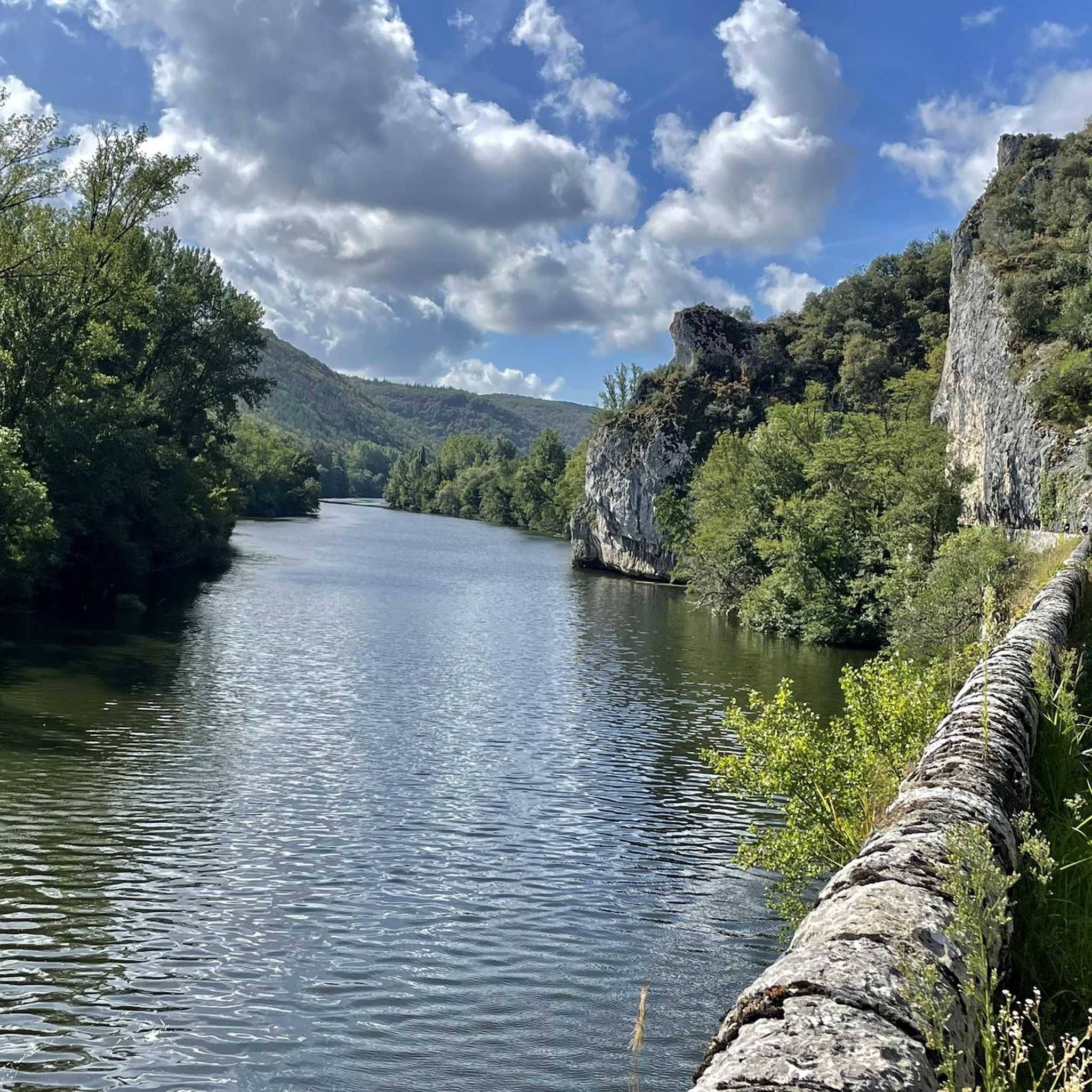
Given the region's characteristic river valleys, many trails will offer glimpses or direct views of the Aveyron River or its tributaries. Routes around Villefranche-de-Rouergue, which sits on the Aveyron, are particularly likely to feature river scenery.
What is the best time of year to go hiking in Morlhon-Le-Haut?
The region is generally pleasant for hiking from spring through autumn. Spring brings lush greenery and wildflowers, while autumn offers beautiful foliage. Summers are warm, making early mornings or late afternoons ideal for hiking. Winters are milder but some paths might be muddy after rain.
Most popular routes around Morlhon-Le-Haut
Most popular attractions around Morlhon-Le-Haut

Get inspired with the komoot mobile app


Explore more
Browse the best Hikes in other regions.
