The best cycling routes around Bocognano
4.8
(47)
574
riders
20
rides
Bocognano cycling routes are set within a mountainous region of Corsica, characterized by granite massifs and significant elevation changes. The area is nestled between the Monte d'Oro and Monte Renoso massifs, offering a dramatic backdrop for touring cyclists. The Gravona river valley provides scenic routes, while dense chestnut woods offer shaded sections. This terrain ensures a variety of challenging climbs and descents for experienced riders.
Best touring cycling routes around Bocognano
- The most popular touring cycling route is Strette Gorge…
Last updated: August 22, 2026
5.0
(5)
32
riders
141km
10:16
3,180m
3,180m
Hard bike ride. Very good fitness required. Mostly paved surfaces. Suitable for all skill levels.
5.0
(3)
30
riders
72.0km
05:49
1,840m
1,840m
Hard bike ride. Very good fitness required. Mostly paved surfaces. Suitable for all skill levels.

Sign up for free
23
riders
91.3km
06:40
2,080m
2,080m
Hard bike ride. Very good fitness required. Mostly paved surfaces. Suitable for all skill levels.
4.5
(2)
18
riders
115km
07:57
2,170m
2,170m
Hard bike ride. Very good fitness required. Mostly paved surfaces. Suitable for all skill levels.
13
riders
35.3km
02:44
660m
660m
Hard bike ride. Very good fitness required. Mostly paved surfaces. Suitable for all skill levels.
Get access to more routes and recommendations from other explorers.
Sign up for free
Already have an account?
Our route recommendations are based on thousands of hikes, rides, and runs completed by other people on komoot.
Start today with a free account
Your next adventure awaits.
Login or Signup

Tips from the Community


Instead of pasta, paninis, and cakes, they serve entrecôte and salad. Not for cyclists or hikers.
0
0

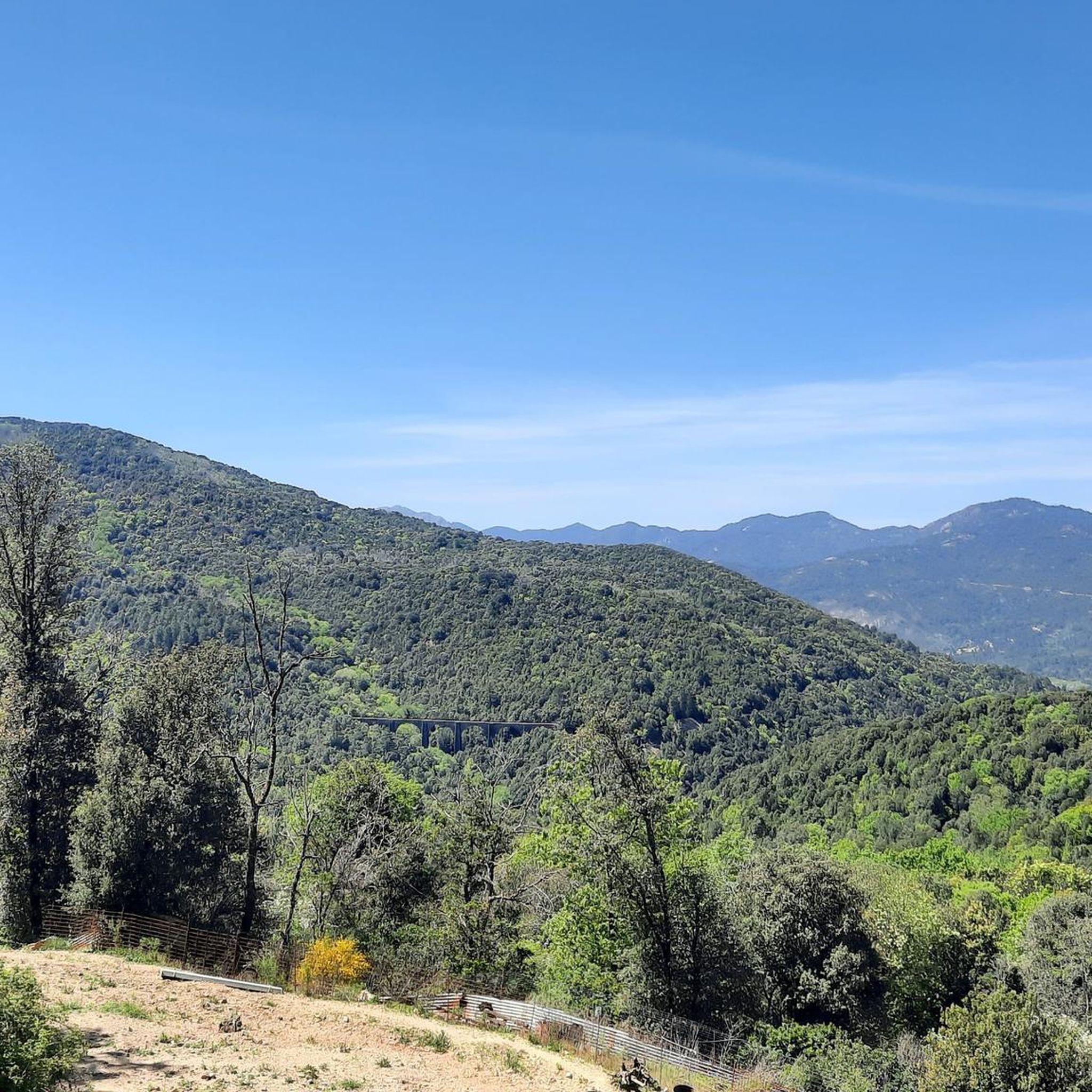
The Vecchio rises on the Monte d'Oro and is initially called Agnone. This river is best known for its Cascades des Anglais, which attract hundreds of tourists every day in high season. From the hamlet of Vizzavona onwards, the river is called Vecchio and you only meet very few people. Shortly after entering Canaglia, it joins the Manganello. Here the Vecchio valley becomes very lonely. On the right-hand side, far above the riverbed, the railway line winds its way along the hills, barely visible. You don't notice the busy T20, which lies behind the hills. You only see it when you get off at the Ponte Vecchio. High above us, it crosses the Vecchio valley on the new bridge. Later, the Vecchio flows into the Tavignano, which reaches the sea near Aléria.
1
0
Muracciole (Corsican: I Muraccioli) is a municipality in the French department of Haute-Corse on the Mediterranean island of Corsica. It belongs to the canton of Corte in the arrondissement of Corte. The inhabitants call themselves Muracciolais or Muracciaschi. The settlement area consists of the villages of Muracciole and Arca. The neighboring municipalities are Noceta to the north and east, Vezzani to the southeast, Ghisoni to the south, Vivario to the west and Venaco to the northwest.
1
0
The Route Forestière 6 was a road in Corsica established in 1854 by the Décret Imperial 1782. It was built to develop one of Corsica's forests for the timber industry. Operated by the state, it had the status of a national road. The F6 branched off from the National Road 198 south of Aléria and led to Vivario. It was 45 kilometers long. It was downgraded in 1973.
1
0
The Vecchio rises on the Monte d'Oro and is initially called Agnone. This river is best known for its Cascades des Anglais, which attract hundreds of tourists every day in high season. From the hamlet of Vizzavona onwards, the river is called Vecchio and you only meet very few people. Shortly after entering Canaglia, it joins the Manganello. Here the Vecchio valley becomes very lonely. On the right-hand side, far above the riverbed, the railway line winds its way along the hills, barely visible. You don't notice the busy T20, which lies behind the hills. You only see it when you get off at the Ponte Vecchio. High above us, it crosses the Vecchio valley on the new bridge. Later, the Vecchio flows into the Tavignano, which reaches the sea near Aléria.
1
0
Frequently Asked Questions
What kind of terrain can I expect when touring cycling around Bocognano?
Bocognano is situated in a mountainous region of Corsica, characterized by granite massifs and significant elevation changes. You'll encounter challenging climbs and descents, with routes winding through dense chestnut woods and the scenic Gravona river valley. The area is nestled between the Monte d'Oro and Monte Renoso massifs, offering a dramatic backdrop for your rides.
Are there many challenging routes for experienced touring cyclists in Bocognano?
Yes, Bocognano is ideal for experienced touring cyclists seeking a challenge. Out of over 20 routes, 19 are rated as difficult, featuring substantial elevation gains. For example, the Strette Gorge – Défilé de l'Inzecca loop from Rocher d'Accella is an 87.5-mile (140.9 km) route with over 3,100 meters of elevation gain.
What are some notable natural landmarks or viewpoints I can discover on a touring cycling route near Bocognano?
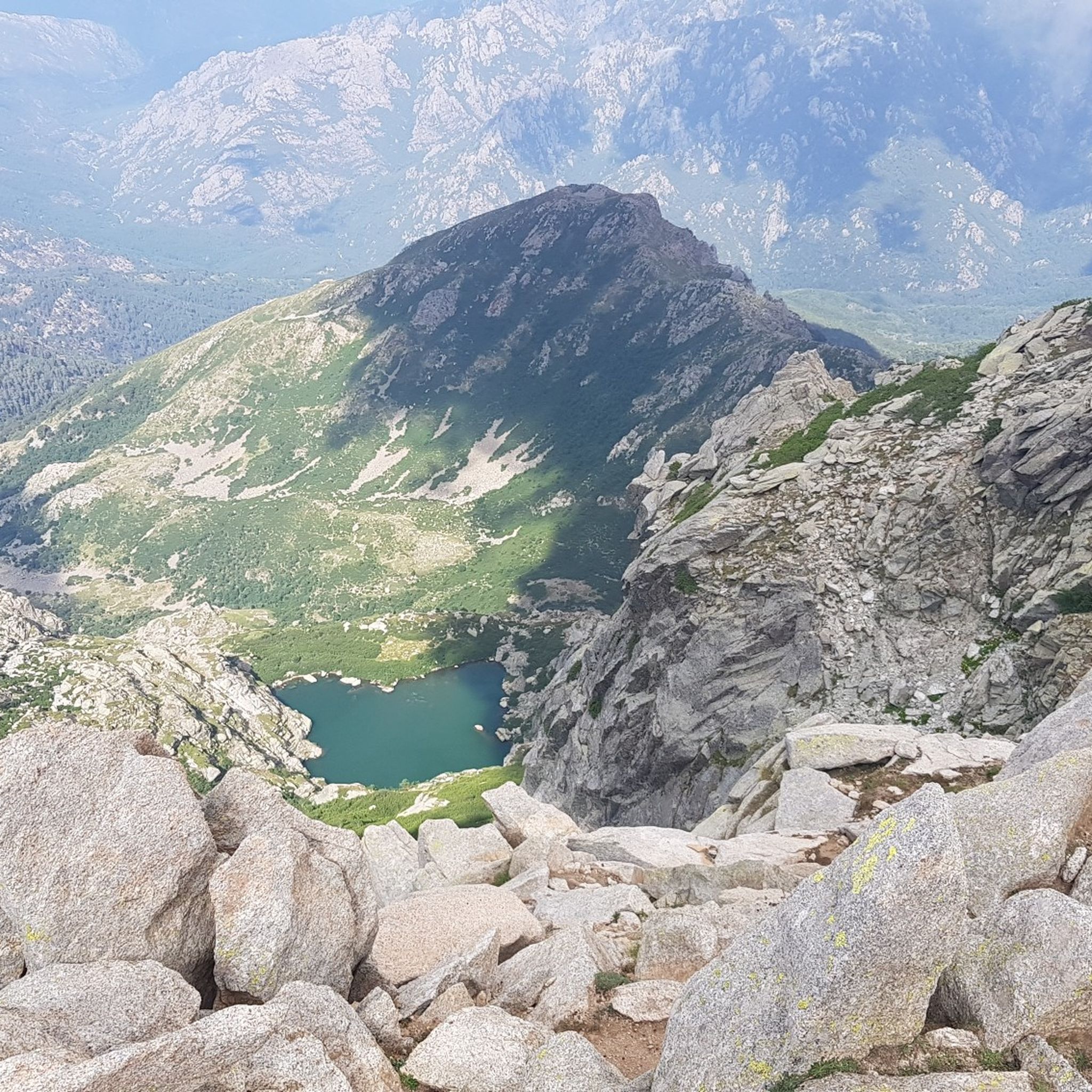
The region offers breathtaking natural beauty. You can cycle towards the famous Col de Vizzavona, a significant mountain pass at 1161 meters, which offers dense forests and a sense of remoteness. The Gravona River Valley provides scenic routes with pure water sources. Don't miss the picturesque Cascade du Voile de la Mariée (Bridal Veil Waterfall), located just 3 km from Bocognano. You can also find stunning views of Lake Tolla on routes like the Col de Scalella – View of Lake Tolla loop from Tavera.
Are there any family-friendly or beginner touring cycling routes in Bocognano?
The touring cycling routes around Bocognano are primarily designed for experienced cyclists due to the challenging climbs and descents. Most routes are rated as difficult, with a few moderate options. There are currently no easy routes listed, so beginners or families with young children might find the terrain demanding.
What do other touring cyclists say about the routes in Bocognano?
The touring cycling routes around Bocognano are highly rated by the komoot community, with an average score of 4.8 stars from over 40 reviews. More than 500 touring cyclists have used komoot to explore the varied and challenging terrain, often praising the dramatic scenery and the sense of accomplishment after conquering the mountain passes.
Can I find circular touring cycling routes around Bocognano?
Yes, many of the touring cycling routes in the Bocognano area are designed as loops, allowing you to start and finish in the same location. Examples include the Nuceta Bridge – Venaco loop from Vizzavona and the Bocca di Mercuju – Stausee loop from Bastelica, which offer diverse landscapes and return to your starting point.
What is the best time of year for touring cycling in Bocognano?
The region offers a pleasant climate, especially in the Gravona river valley during summer, making it a popular destination. However, given the mountainous terrain and high passes, spring and autumn generally provide more comfortable temperatures for challenging touring cycling, avoiding the peak summer heat or potential winter snow at higher altitudes.
Are there any mountain passes or huts I can visit along the touring cycling routes?
Yes, the region is rich with mountain passes and offers several huts for rest or overnight stays. You can explore passes like Col de Sorba or Towards Col d'Erbajo. For huts, options include Petra Piana Refuge or Tolla Shepherd’s Hut, which can be integrated into longer tours.
What are the options for parking when accessing touring cycling routes in Bocognano?
While specific parking areas for each route are not detailed, Bocognano is a village with amenities. You can generally find parking within or near the village center, or at common starting points for popular routes. It's advisable to check local signage or inquire in the village for the most convenient and secure parking spots.
Is it possible to reach Bocognano's cycling routes using public transport?
Bocognano is strategically located between Ajaccio and Corte. While direct public transport options specifically for cyclists with bikes might be limited, the village is accessible by regional transport. It's recommended to check local bus or train schedules for routes connecting to Bocognano and inquire about their bike carriage policies in advance.
Are there any routes that offer views of the wider Corsican landscape?
Absolutely. Bocognano's central location in Corsica provides access to routes that showcase the island's diverse landscapes. Routes like the Col de Cardo, 370 m above sea level – Matra Fort loop from Vizzavona offer expansive views, allowing you to experience everything from the rugged interior to glimpses of the island's central highlands.
Are there any specific permits required for touring cycling in the Bocognano region?
For general touring cycling on public roads and marked trails in the Bocognano region, which is part of the Regional Natural Park of Corsica, specific permits are typically not required. However, always respect local regulations, especially concerning protected areas, and stay on designated paths.
Most popular attractions around Bocognano

Get inspired with the komoot mobile app


Explore more
Browse the best Cycling routes in other regions.
