The best road cycling routes around Lamontélarié
4.6
(59)
2,109
riders
155
rides
Road cycling routes around Lamontélarié traverse a diverse landscape within the Haut-Languedoc Regional Natural Park, situated at an altitude of 800 meters. The region features a blend of mountainous terrain, with the Monts de Lacaune to the west and the Mediterranean massifs of Espinouse and Caroux to the east, offering varied gradients for cyclists. Numerous lakes, including Lac de la Raviège, Lac du Laouzas, and Lac des Saints-Peyres, define many of the area's scenic routes. Cyclists can expect to encounter…
Last updated: October 25, 2026
4.1
(9)
218
riders
40.4km
02:01
650m
650m
Moderate road ride. Good fitness required. Mostly well-paved surfaces and easy to ride.
34
riders
14.9km
01:06
260m
260m
Easy road ride. Mostly well-paved surfaces and easy to ride.

33
riders
11.5km
00:37
160m
160m
Easy road ride. Mostly well-paved surfaces and easy to ride.
22
riders
70.5km
03:30
1,110m
1,100m
Hard road ride. Very good fitness required. Mostly well-paved surfaces and easy to ride.
14
riders
50.1km
02:35
790m
790m
Moderate road ride. Good fitness required. Some segments of this route may be unpaved and difficult to ride.
Get access to more routes and recommendations from other explorers.
Already have an account?
Our route recommendations are based on thousands of hikes, rides, and runs completed by other people on komoot.
Start today with a free account
Your next adventure awaits.
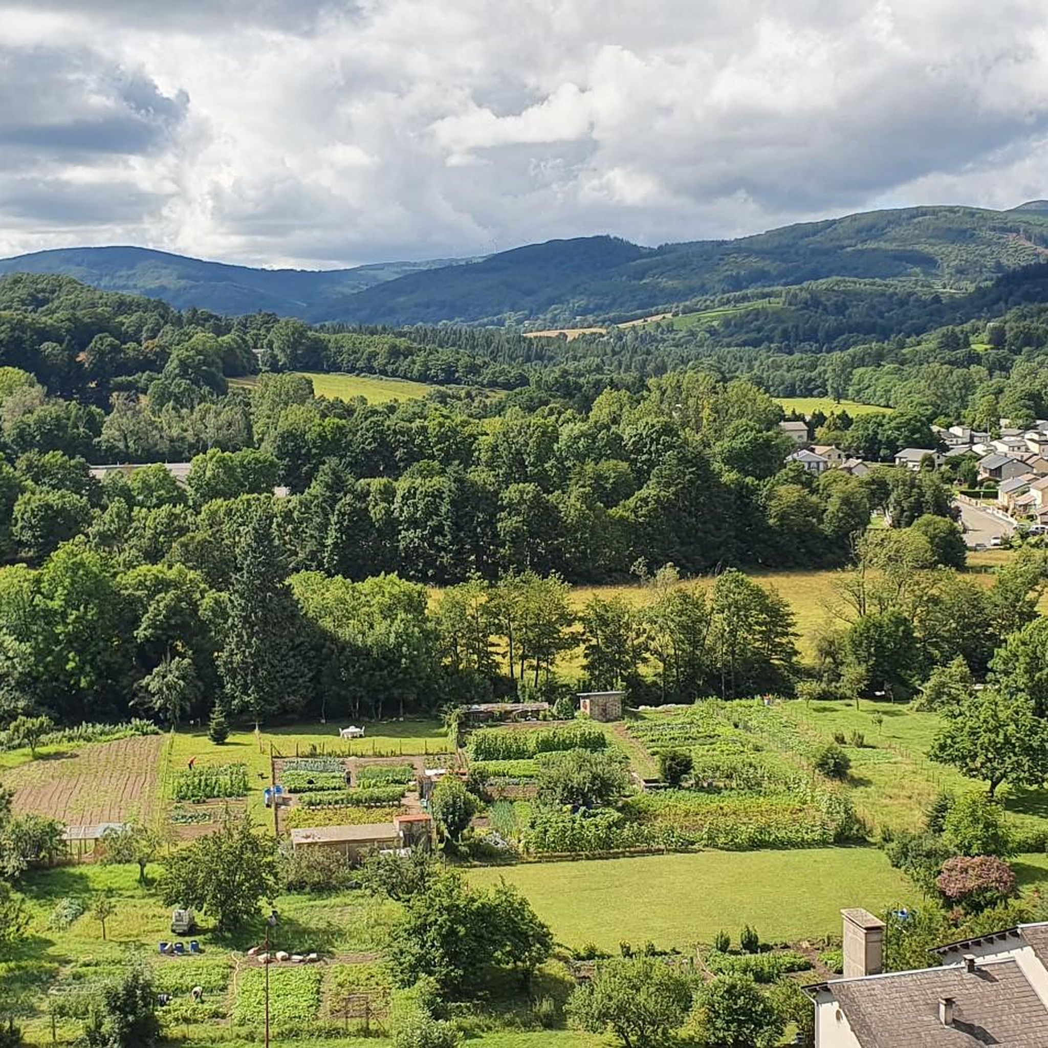
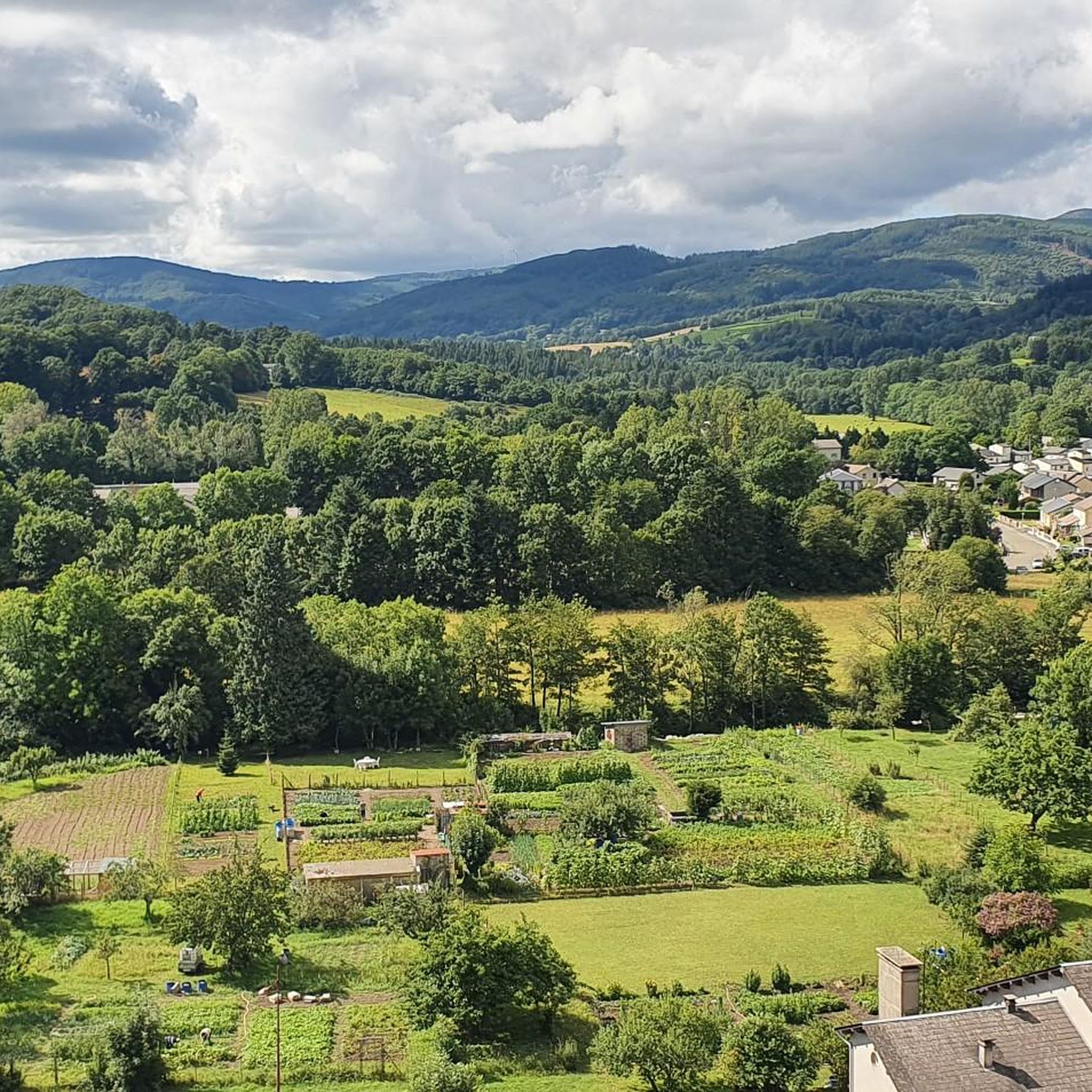
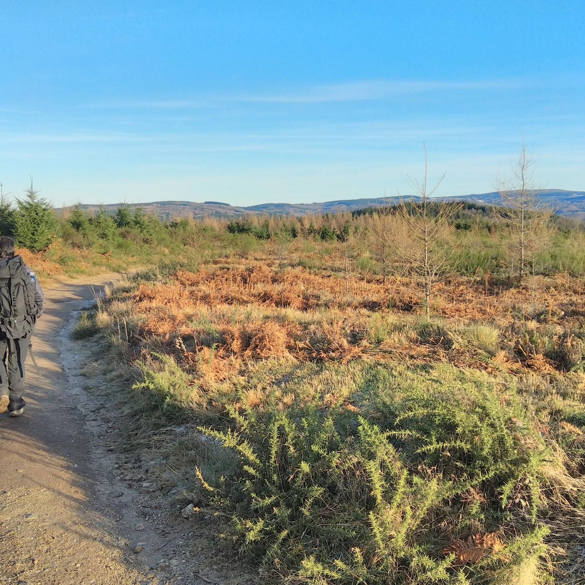


Tips from the Community

From Fraise the climb is steep and the road is bumpy. I would not advise this as a descent.
0
0

Vast reservoir of Haut-Languedoc, the Raviège offers a landscape mixing water, forests and hills. A peaceful setting, punctuated by beautiful openings onto the water body from the surrounding roads.
3
0

Nice 7km climb (300m D+) via the D54 starting from Pont-de-Larn.
0
0

The lake region, the Black Mountain, an unmissable playground
0
0

ideal for recharging at the top especially in summer
0
0

You will find everything there, maybe hihi...
0
0

Salvetat is not only sparkling water, one of the best-selling in France, owned by the Danone group, and whose source is located in the town. But it is also an old mountain village which was first established in the 12th century on a rocky peak surrounded by a meander of the Agout in order to ensure the safety of its inhabitants. The small city then developed little by little over the centuries, taking on the face we know today. The old village is characterized by mountain architecture and its houses protected from rain and humid winds by slate shingles covering entire sections of walls. These protections from bad weather by vertical tiles are designated by the term “essentes” which are small planks of slate or chestnut cut, arranged and fixed to the walls or beams in order to protect a facade against the flow of water. Houses in the Middle Ages were thus quite often covered with essentes, and sometimes these essentes were painted or cut in such a way as to allow certain geometric combinations. There are many examples in the town of Salvetat-sur-Agout. Although this makes the village look a bit dull and austere, it also gives it personality and rustic charm. The village was also part of the association “Les Plus Beaux Villages de France”, but it is no longer labeled to this day.
0
2

Large lake 12 kilometers long, straddling the departments of Hérault and Tarn. Leisure centers and beaches accessible for swimming. A 28 km mountain bike loop allows you to go around the lake.
1
0
Frequently Asked Questions
How many road cycling routes are available around Lamontélarié?
There are over 150 road cycling routes around Lamontélarié, offering a wide range of options for different skill levels and preferences. The komoot community has explored more than 2,000 road cycling kilometers in the area.
Are there road cycling routes suitable for beginners or less experienced cyclists in Lamontélarié?
Yes, Lamontélarié offers some easier road cycling routes. While many routes involve undulating terrain, there are 6 routes classified as easy. These often feature gentler gradients, particularly around the lakes, providing a good starting point for less experienced riders.
Where can I find more challenging road cycling routes with significant climbs in the region?
For challenging rides, focus on routes that venture into the Monts de Lacaune to the west or the Espinouse and Caroux massifs to the east. These areas feature peaks reaching over 1200 meters and offer demanding climbs. Routes like Lake Laouzas – La Raviège Dam loop from Barrage de la Raviège, with over 1300 meters of elevation gain, provide a good test for experienced cyclists.
What kind of landscapes can I expect to see while road cycling around Lamontélarié?
Road cycling around Lamontélarié offers incredibly diverse landscapes. You'll traverse deep forests, open meadows, and unique ecosystems like peat bogs. The region blends mountainous terrain from the Monts de Lacaune with Mediterranean influences from the Espinouse and Caroux massifs. Many routes also wind along the shores of beautiful lakes such as Lac de la Raviège, Lac du Laouzas, and Lac des Saints-Peyres, offering stunning waterside views.
Are there any circular road cycling routes around Lamontélarié?
Yes, many of the road cycling routes in Lamontélarié are designed as loops, allowing you to start and finish at the same point. A popular example is the La Raviège Dam – Lake Laouzas loop from Barrage de la Raviège, which offers a comprehensive tour of the lake district.
What are some notable attractions or points of interest I can see along the road cycling routes?
As you cycle, you can discover several points of interest. The La Raviège Dam is a prominent feature, and you'll often cycle alongside Lake Raviège and Saints-Peyres Lake. The region also features charming mountainous villages with slate-roofed houses, and you might even spot the unique peat bogs (Sagnes) with their exceptional flora and fauna.
What is the best time of year for road cycling in Lamontélarié?
The varied climate of the Haut-Languedoc Regional Natural Park means cycling is enjoyable across several seasons. Spring and autumn offer pleasant temperatures and beautiful scenery with changing foliage. Summer is also popular, especially around the lakes, though some climbs can be more demanding in warmer weather. The mix of continental and Mediterranean climates ensures picturesque views throughout much of the year.
What do other road cyclists enjoy most about cycling in Lamontélarié?
The area is highly rated by the komoot community, with an average score of 4.7 stars from over 50 reviews. Cyclists often praise the diverse terrain, from challenging mountain passes to scenic lakeside roads, and the stunning natural beauty of the Haut-Languedoc Regional Natural Park. The well-maintained routes and varied landscapes make it a rewarding destination for many.
Are there any specific routes that explore the Montagne Noire area?
Yes, Lamontélarié is situated near the Montagne Noire, and many routes will take you through its foothills and forested landscapes. The Cabarétou Pass – Col de la Baraque loop from Barrage de la Raviège is an example of a route that leads through mountainous landscapes and forests characteristic of the wider Montagne Noire region, offering both scenic beauty and engaging climbs.
Can I find family-friendly road cycling options in the Lamontélarié area?
While many routes have undulating terrain, the 'Plateau des Lacs' area, including Lac de la Raviège and Lac du Laouzas, offers sections that are more suitable for families. The Haut-Languedoc Regional Natural Park also features cycle paths like the 'Passa Païs' which are designed for family-friendly cycling holidays, often combining varied landscapes with accessible sections.
Where can I find information about parking for road cycling trails near Lamontélarié?
Many popular starting points for road cycling routes, especially around the major lakes like Lac de la Raviège, offer designated parking areas. For specific routes, checking the komoot tour details for the starting point will often provide information on available parking facilities. Barrage de la Raviège is a common starting point with parking access.
Are there opportunities to stop for coffee or food along the road cycling routes?
Yes, many routes pass through or near picturesque villages where you can find cafes, restaurants, and local shops. The village of Lamontélarié itself, with its traditional mountainous charm, offers places to stop. Routes around the lakes also often have amenities available in nearby towns or at specific points of interest, allowing for refreshing breaks during your ride.
Most popular attractions around Lamontélarié

Get inspired with the komoot mobile app


Explore more
Browse the best Road cycling routes in other regions.
