The best road cycling routes around Arnac-Sur-Dourdou
4.7
(10)
264
riders
27
rides
Road cycling routes around Arnac-Sur-Dourdou are characterized by a mountainous and heavily forested landscape, offering diverse and challenging terrain. The region features significant ascents and descents, with roads often following river valleys like the Dourdou de Camarès. Situated on the edge of the Parc naturel régional des Grands Causses, the area provides a network of roads suitable for endurance cycling and hill-climbing, set against a backdrop of limestone plateaus and gorges.
Best road cycling routes around Arnac-Sur-Dourdou
- The most popular…
Last updated: July 8, 2026
5.0
(2)
24
riders
81.7km
04:42
1,780m
1,780m
Hard road ride. Very good fitness required. Some segments of this route may be unpaved and difficult to ride.
16
riders
107km
05:24
1,790m
1,790m
Hard road ride. Very good fitness required. Mostly well-paved surfaces and easy to ride.

Sign up for free
12
riders
59.5km
03:07
1,040m
1,040m
Hard road ride. Very good fitness required. Some segments of this route may be unpaved and difficult to ride.
5.0
(1)
9
riders
48.1km
02:29
800m
800m
Moderate road ride. Good fitness required. Mostly well-paved surfaces and easy to ride.
7
riders
85.5km
04:34
1,490m
1,490m
Hard road ride. Very good fitness required. Some segments of this route may be unpaved and difficult to ride.
Get access to more routes and recommendations from other explorers.
Sign up for free
Already have an account?
Our route recommendations are based on thousands of hikes, rides, and runs completed by other people on komoot.
Start today with a free account
Your next adventure awaits.
Login or Signup
Tips from the Community

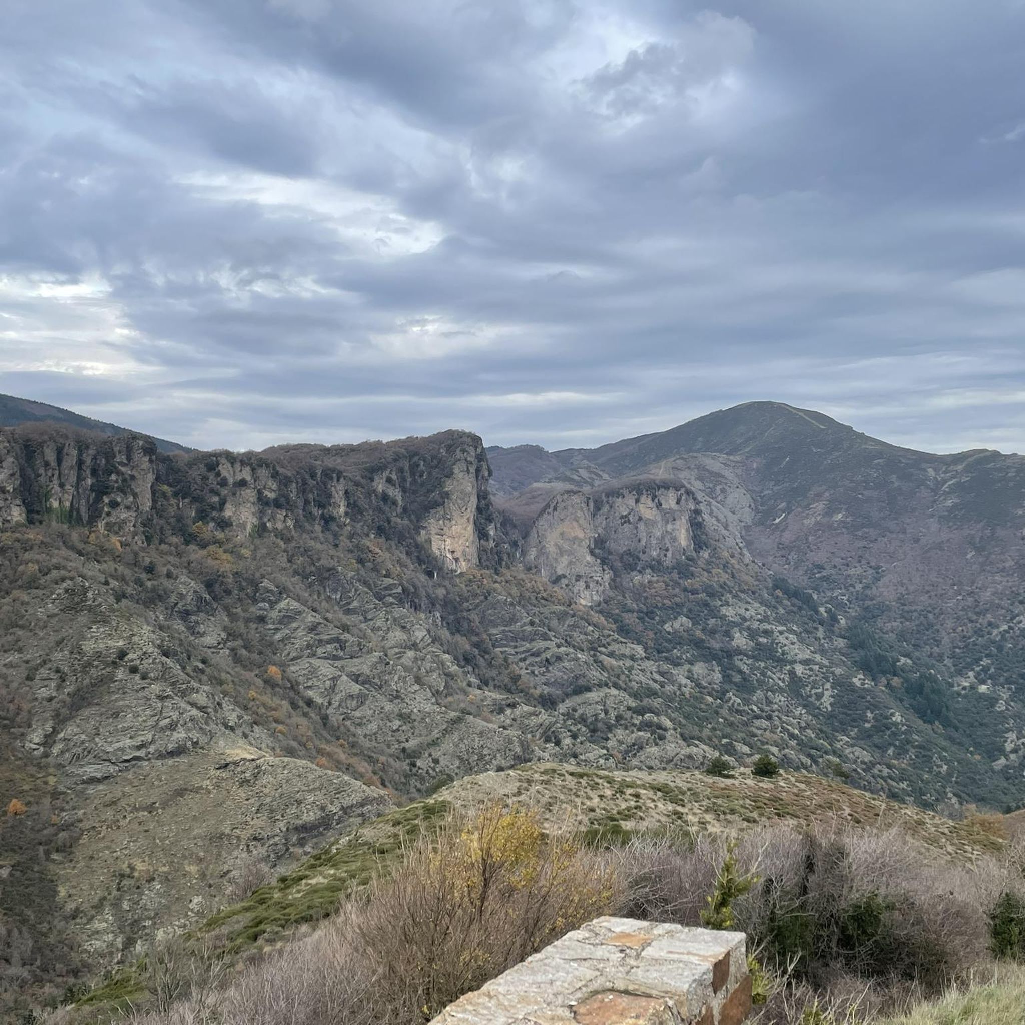
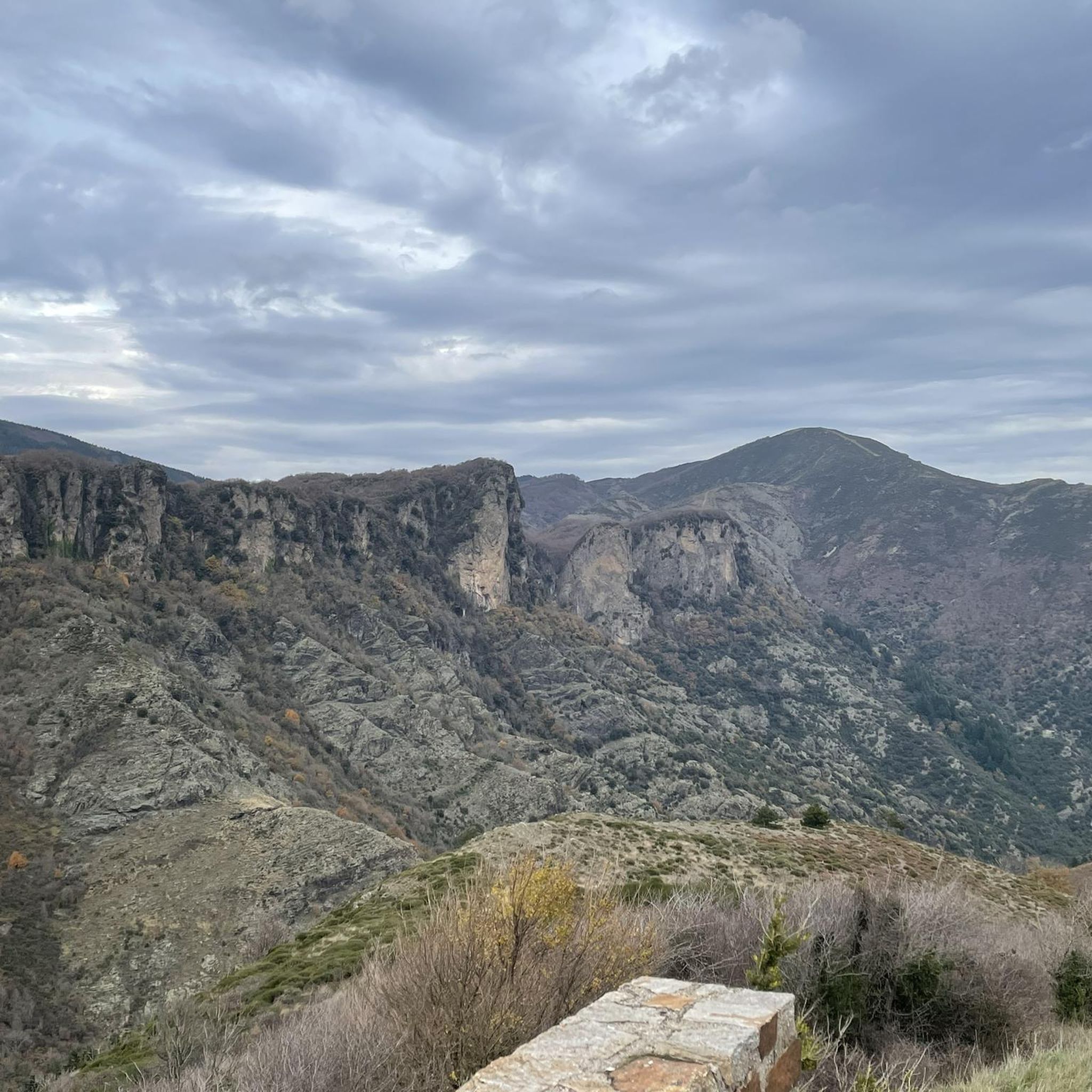
The cliffs of Orque (or Olque, depending on local toponyms) form a real rocky front overlooking the Haut-Languedoc: a limestone wall about 200 meters high, leaning against a plateau perched around 800 meters, north of the Caroux and Espinouse massifs.
0
0
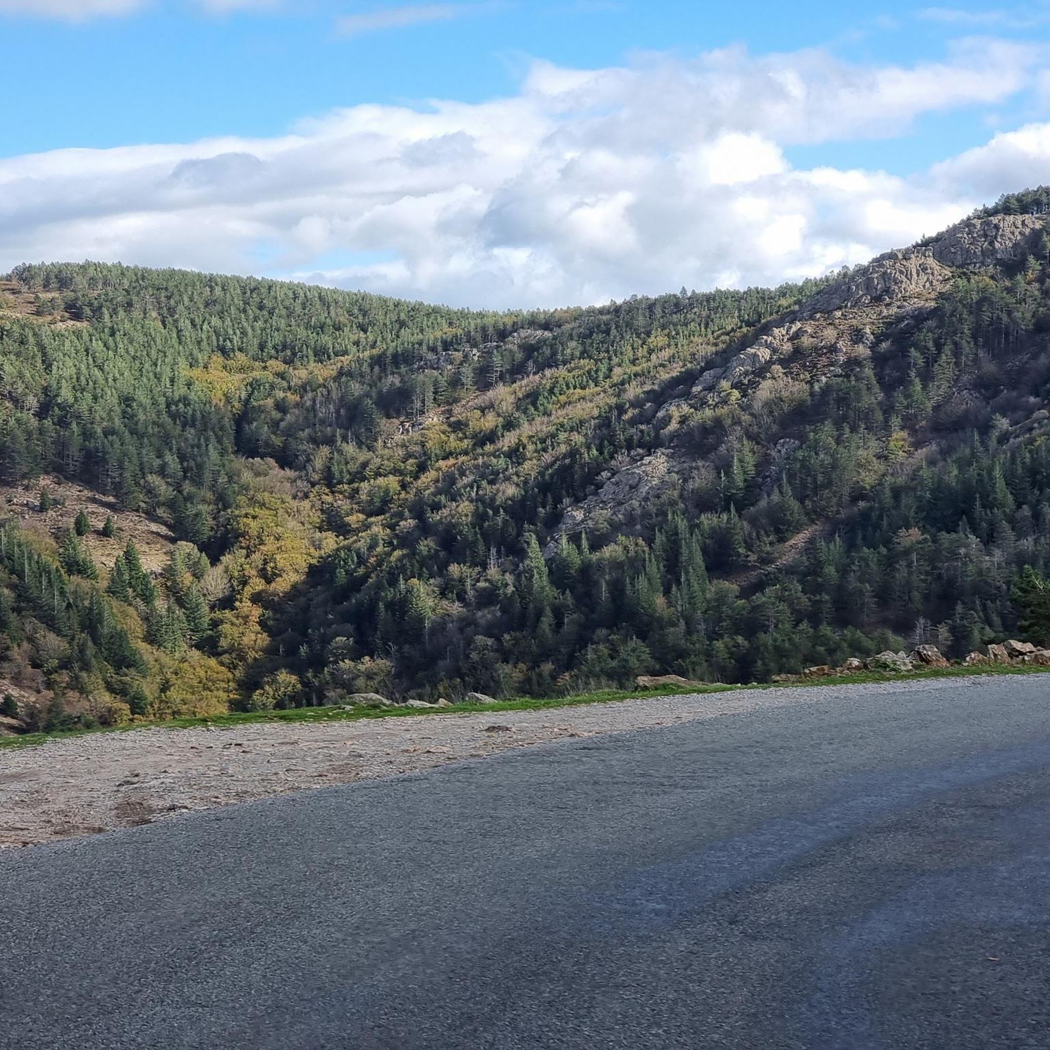
The Col de la Croix de Mounis is one of those passes where you don't just cross a slope, but a true border between two valleys. Perched at an altitude of about 800 meters, in the heart of Haut-Languedoc, it connects the Mare valley to that of the Dourdou. For a long time, this pass was a strategic crossing point between Lacaune and Saint-Gervais-sur-Mare. Before modern roads, it was already part of a local circulation network, used by muleteers and stagecoaches, where villages, markets, and valleys were connected via routes dictated by the terrain. The current road still retains something of this logic: it doesn't cut through the mountain, it goes around it and "negotiates" it.
0
0

One of the 3 magnificent lakes in the South-East of Tarn. Although artificial, it catches the eye with its wild appearance. Worth seeing on sunny days or to escape the heatwave
0
0
From the D8E13 bridge, the viewpoint offers a beautiful postcard of Avène and the Orb.
0
0


A very pleasant climb from Lamalou-les-Bains! The beginning is (very) steep (7-8% average over quite a few kilometers), but it becomes more rolling after that.
0
0

This tiny and peaceful village, with a worldwide reputation for the benefits of its water, is a perfect location for hikers and gravel enthusiasts. You have many options of loops from there. Enjoy!
0
0

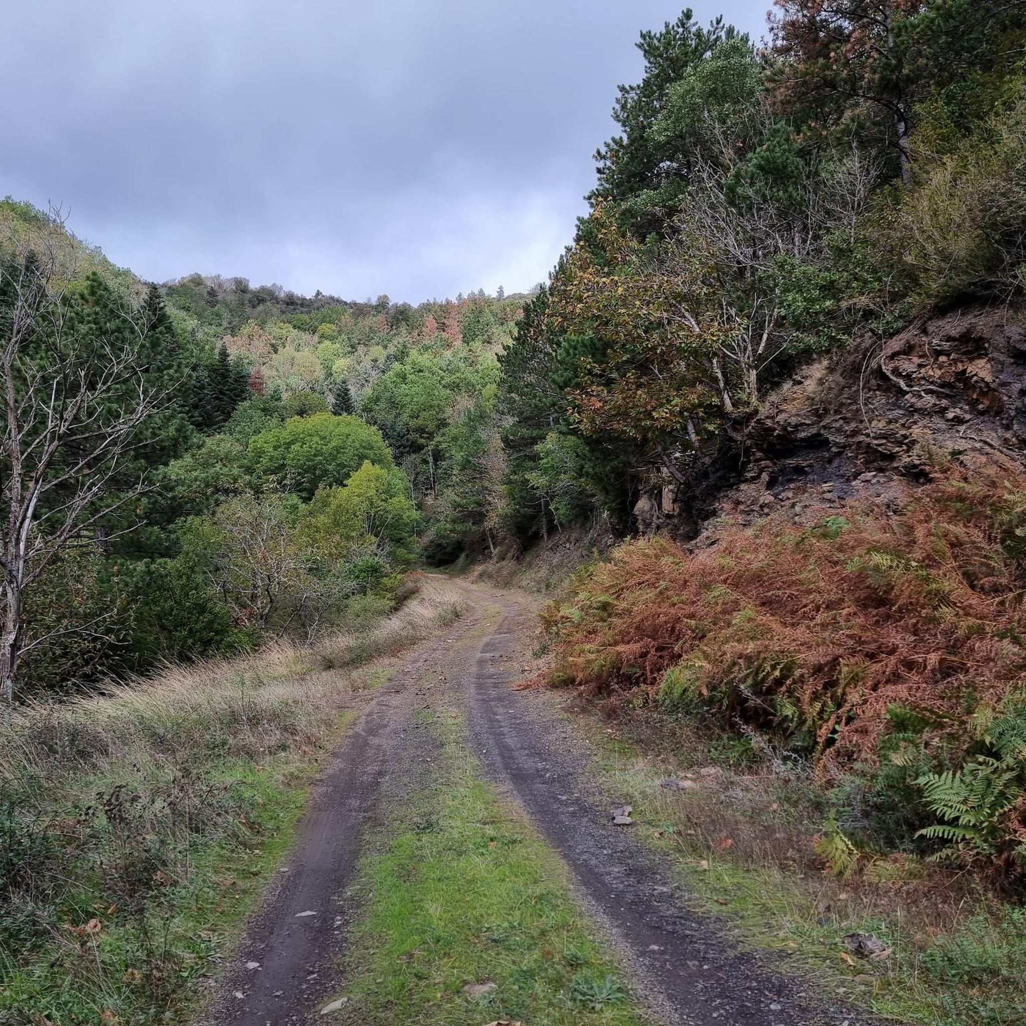
To see this place in the middle of fields and woods.
0
0
Frequently Asked Questions
How many road cycling routes are available around Arnac-Sur-Dourdou?
There are over 20 road cycling routes available around Arnac-Sur-Dourdou. These routes are primarily characterized by mountainous and heavily forested landscapes, offering diverse and challenging terrain for cyclists.
What is the typical difficulty level of road cycling routes in this area?
The majority of road cycling routes around Arnac-Sur-Dourdou are considered difficult, with 15 out of 21 routes falling into this category. There are also 6 moderate routes, but no easy routes, indicating a focus on challenging ascents and descents suitable for experienced cyclists.
Are there any circular road cycling routes in Arnac-Sur-Dourdou?
Yes, many of the road cycling routes around Arnac-Sur-Dourdou are designed as loops. For example, you can try the challenging Avène, spa town – Layrac Pass loop from Bruguières, or the Fontfroide Pass – L'Espinouse Pass (1,124 m) loop from Col de la Croix de Mounis, both offering significant elevation gains.
What kind of terrain can I expect on road cycling routes near Arnac-Sur-Dourdou?
You can expect a varied and often challenging terrain. The region is mountainous and heavily forested, featuring numerous ascents and descents. Roads often follow river valleys like the Dourdou de Camarès, offering some gentler gradients, but overall, be prepared for significant elevation changes and scenic routes through the Parc naturel régional des Grands Causses.
What are some notable landmarks or viewpoints along the road cycling routes?
The routes offer access to several natural and scenic landmarks. You can cycle past the impressive L'Espinouse Pass (1,124 m), the dramatic Falaises d'Orque, or enjoy views from the Viewpoint over the Espinouse summit. Other passes like Col de la Croix de Mounis and Layrac Pass are also prominent features.
What is the best time of year for road cycling in Arnac-Sur-Dourdou?
Given the mountainous terrain, the best time for road cycling is typically from spring through autumn. Summers offer warm weather, while spring and autumn provide cooler temperatures and vibrant scenery. Winter cycling might be challenging due to potential snow or ice on higher passes.
Are there any family-friendly road cycling options in the area?
The road cycling routes directly around Arnac-Sur-Dourdou are generally challenging, with no routes classified as easy. However, the broader Aveyron region, including the "Vallée et Gorges de l'Aveyron à Vélo" route, offers a mix of greenways and quieter roads that might be more suitable for families, though some sections can still be steep. It's best to check specific route details for suitability.
What do other road cyclists enjoy the most about road cycling in Arnac-Sur-Dourdou?
The area is highly rated by the komoot community, with an average score of 4.6 stars from 9 reviews. Reviewers often praise the challenging climbs, the stunning natural beauty of the mountainous and forested landscapes, and the varied terrain that makes for an engaging cycling experience.
Is there public transport available to reach Arnac-Sur-Dourdou?
Arnac-Sur-Dourdou is a smaller commune, and direct public transport options like train stations or extensive bus routes might be limited. It's advisable to check local bus schedules for the Aveyron department or consider driving to the area, as many routes start from nearby villages or passes.
Where can I find parking for road cycling routes in Arnac-Sur-Dourdou?
While specific parking areas for each route are not detailed, many road cycling routes in the region start from villages or mountain passes. It's common to find parking in the starting points of routes like Bruguières or Col de la Croix de Mounis, which serve as popular departure points for cyclists.
Are there any cafes or shops in Arnac-Sur-Dourdou for refreshments?
As a smaller commune, Arnac-Sur-Dourdou may have limited local services. It's recommended to carry sufficient water and snacks, especially on longer rides. Larger villages or towns in the surrounding Aveyron region will offer more options for cafes, shops, and restaurants.
What is the longest road cycling route available?
The longest road cycling route listed is the Lac de Bouloc – Col de Notre-Dame (664 m) loop from Bruguières, covering approximately 85.5 km (53.1 miles) with a significant elevation gain of around 1,492 meters.
Are there any regulations or permits required for cycling in the Parc naturel régional des Grands Causses?
Generally, no specific permits are required for road cycling on public roads within the Parc naturel régional des Grands Causses. However, cyclists are expected to respect local traffic laws, protect the natural environment, and be mindful of other users. Always stay on marked roads and trails.
Most popular routes around Arnac-Sur-Dourdou
Most popular attractions around Arnac-Sur-Dourdou

Get inspired with the komoot mobile app


Explore more
Browse the best Road cycling routes in other regions.
