The best walks and hikes around Pampelonne
4.6
(151)
970
hikers
19
hikes
Hiking around Pampelonne in the Tarn department offers diverse trails through the wild and ecologically rich Viaur Valley. The region is characterized by green valleys carved by rivers, featuring botanical diversity along riverbanks and historical elements like chapels and footbridges. Hikers can explore varied landscapes, from gentle riverside paths to more challenging routes with significant elevation changes.
Best hiking trails around Pampelonne
- The most popular hiking route is The Viaur valley and the Notre-Dame de Las Planques chapel - loop…
Last updated: May 26, 2026
4.5
(10)
50
hikers
17.1km
05:13
570m
570m
Hard hike. Very good fitness required. Easily-accessible paths. Suitable for all skill levels.
4.7
(9)
68
hikers
9.55km
02:57
330m
330m
Moderate hike. Good fitness required. Easily-accessible paths. Suitable for all skill levels.

Sign up for free
4.4
(7)
53
hikers
17.9km
05:32
620m
620m
Hard hike. Very good fitness required. Easily-accessible paths. Suitable for all skill levels.
4.6
(5)
29
hikers
5.52km
01:38
160m
170m
Easy hike. Great for any fitness level. Easily-accessible paths. Suitable for all skill levels.
4.4
(5)
23
hikers
10.8km
03:28
430m
430m
Moderate hike. Good fitness required. Easily-accessible paths. Suitable for all skill levels.
Get access to more routes and recommendations from other explorers.
Sign up for free
Already have an account?
Our route recommendations are based on thousands of hikes, rides, and runs completed by other people on komoot.
Start today with a free account
Your next adventure awaits.
Login or Signup


Tips from the Community

Sturdy footwear required! Beautiful tour!
0
0


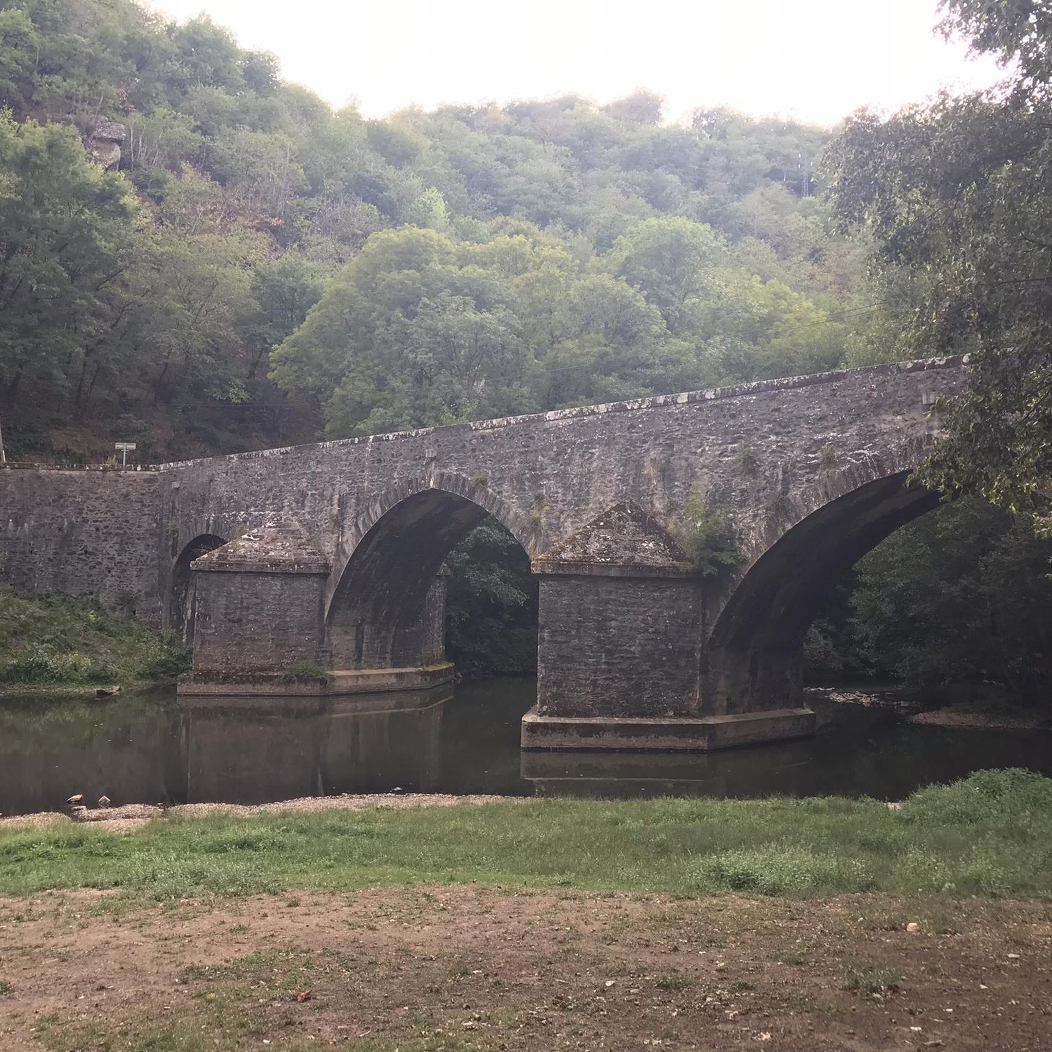
The Pont de Thuriès is a 13th Century bridge over the Viaur river that opened up trade between the Rouergue and the Albigeois regions. There is a picnic area nearby and you can also swim in the river.
0
0

The Notre-Dame-de-Lasplanques church, once surrounded by a small hamlet, dates back to the 11th century. Its lost location in the Viaur valley and its defensive architecture allowed the population to take refuge there in the event of an attack, in particular from trucking companies (looter soldiers and mercenaries of the Middle Ages).
0
0
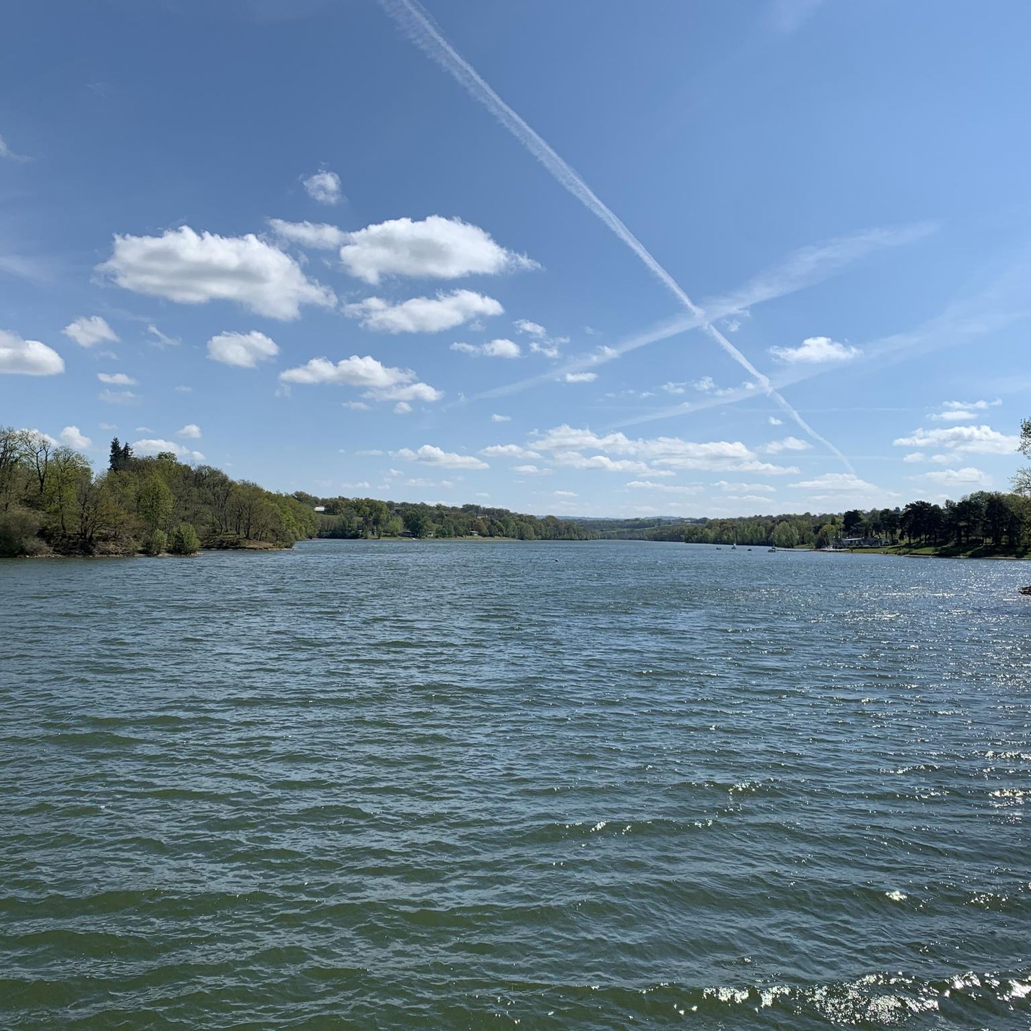
Meander on the Viaur having eroded a formidable rocky outcrop ideal for the establishment of a castle from the 13th century on the road leading from Toulouse to Lyon. Much later, the site took on an economic interest with the creation of a dam of more than 30 meters between 1919 and 1923.
1
0
Frequently Asked Questions
How many hiking trails are available around Pampelonne?
Pampelonne offers a good selection of hiking routes, with over 15 trails available. These routes cater to various preferences, from easy strolls to more challenging ascents through the Viaur Valley.
What is the general difficulty level of hikes in Pampelonne?
The hiking trails in Pampelonne offer a diverse range of difficulties. You'll find approximately 4 easy routes, 10 moderate routes, and 5 difficult routes, ensuring options for all fitness levels. The region is known for its varied terrain along the Viaur River.
Are there any easy hikes suitable for beginners or casual walkers?
Yes, Pampelonne has several easy routes perfect for beginners or those seeking a relaxed walk. An example is the Footbridge Over the Viaur loop from Crespin, which is about 5.5 km long and takes around 1 hour 38 minutes to complete, offering gentle elevation changes.
What about more challenging hikes for experienced trekkers?
For experienced hikers, Pampelonne offers several challenging routes. One notable option is The Viaur valley and the Notre-Dame de Las Planques chapel - loop starting from Pampelonne. This difficult 17.1 km trail takes approximately 5 hours 12 minutes and features significant elevation changes through the scenic Viaur valley.
Are there many circular hiking routes in Pampelonne?
Yes, many of the hiking routes in Pampelonne are designed as loops, allowing you to start and end at the same point. For instance, the popular Hiking loop from Pampelonne is a moderate 9.6 km circular path, typically completed in under 3 hours.
What kind of natural landscapes can I expect to see while hiking in Pampelonne?
Hiking in Pampelonne primarily takes you through the wild and ecologically rich Viaur Valley. You'll experience green river valleys, diverse botanical trails along riverbanks, and features like the 'well of 'Lou Pous'' with its fresh water resurgence, showcasing the region's natural beauty.
Are there any historical or cultural landmarks to discover along the trails?
Absolutely. The trails in Pampelonne often integrate historical and cultural elements. You can encounter sites like the Church of Notre-Dame-de-Lasplanques, or cross the impressive Pont de Thuriès – Saint-Geniest footbridge. Nearby, you can also explore the Medieval Village of Monestiés or Thuriès Castle and the Viaur Dam.
Is parking available for hikers in Pampelonne?
While specific parking areas are not detailed for every trailhead, Pampelonne is a rural area, and parking is generally available near the start points of most hiking routes, especially in or near the village centers. It's advisable to check local signage upon arrival.
Can I bring my dog on the hiking trails in Pampelonne?
Generally, dogs are welcome on hiking trails in rural areas of France, provided they are kept on a leash. While there are no specific restrictions mentioned for Pampelonne, it's always best to be respectful of local wildlife and other hikers, and to check for any specific signage at trailheads.
What do other hikers enjoy the most about hiking in Pampelonne?
The hiking experience in Pampelonne is highly rated by the komoot community, with an average score of 4.6 stars. Hikers often praise the diverse terrain, the tranquility of the Viaur Valley, and the blend of natural beauty with historical structures like chapels and footbridges.
What is the best time of year to hike in Pampelonne?
The best time to hike in Pampelonne is typically during spring (April to June) and autumn (September to October). During these seasons, the weather is generally mild and pleasant, and the natural landscapes of the Viaur Valley are particularly vibrant, whether with spring blooms or autumn colors.
Are the hiking trails around Pampelonne suitable for families with children?
Yes, Pampelonne offers several easy and moderate trails that are suitable for families with children. These routes often feature gentle gradients and opportunities to explore nature along the riverbanks, making them enjoyable for younger hikers. Consider shorter loop trails for a family-friendly outing.
Most popular attractions around Pampelonne

Get inspired with the komoot mobile app


Explore more
Browse the best Hikes in other regions.
