The best walks and hikes around Noyal-Châtillon-Sur-Seiche
4.5
(881)
6,617
hikers
407
hikes
Hiking around Noyal-Châtillon-Sur-Seiche offers exploration of a gently rolling countryside, characterized by the Seiche River and its surrounding bocage landscape. The region features a mosaic of small fields, hedgerows, and scattered woodlands, providing varied natural scenery. Elevation changes are generally low, with a maximum altitude of 47 meters, making many trails accessible. The area's natural environment is centered around the Seiche River, a tributary of the Vilaine, which provides picturesque riverside paths.
Best hiking trails around Noyal-Châtillon-Sur-Seiche
- The most popular…
Last updated: June 25, 2026
3.6
(7)
28
hikers
8.58km
02:13
50m
50m
Moderate hike. Good fitness required. Easily-accessible paths. Suitable for all skill levels.
4.7
(3)
33
hikers
16.6km
04:17
80m
80m
Moderate hike. Good fitness required. Easily-accessible paths. Suitable for all skill levels.

Sign up for free
4.7
(9)
43
hikers
8.82km
02:14
10m
10m
Moderate hike. Good fitness required. Easily-accessible paths. Suitable for all skill levels.
4.3
(3)
12
hikers
10.4km
02:41
60m
60m
Moderate hike. Good fitness required. Easily-accessible paths. Suitable for all skill levels.
11
hikers
5.04km
01:17
20m
20m
Easy hike. Great for any fitness level. Easily-accessible paths. Suitable for all skill levels.
Get access to more routes and recommendations from other explorers.
Sign up for free
Already have an account?
Our route recommendations are based on thousands of hikes, rides, and runs completed by other people on komoot.
Start today with a free account
Your next adventure awaits.
Login or Signup


Tips from the Community

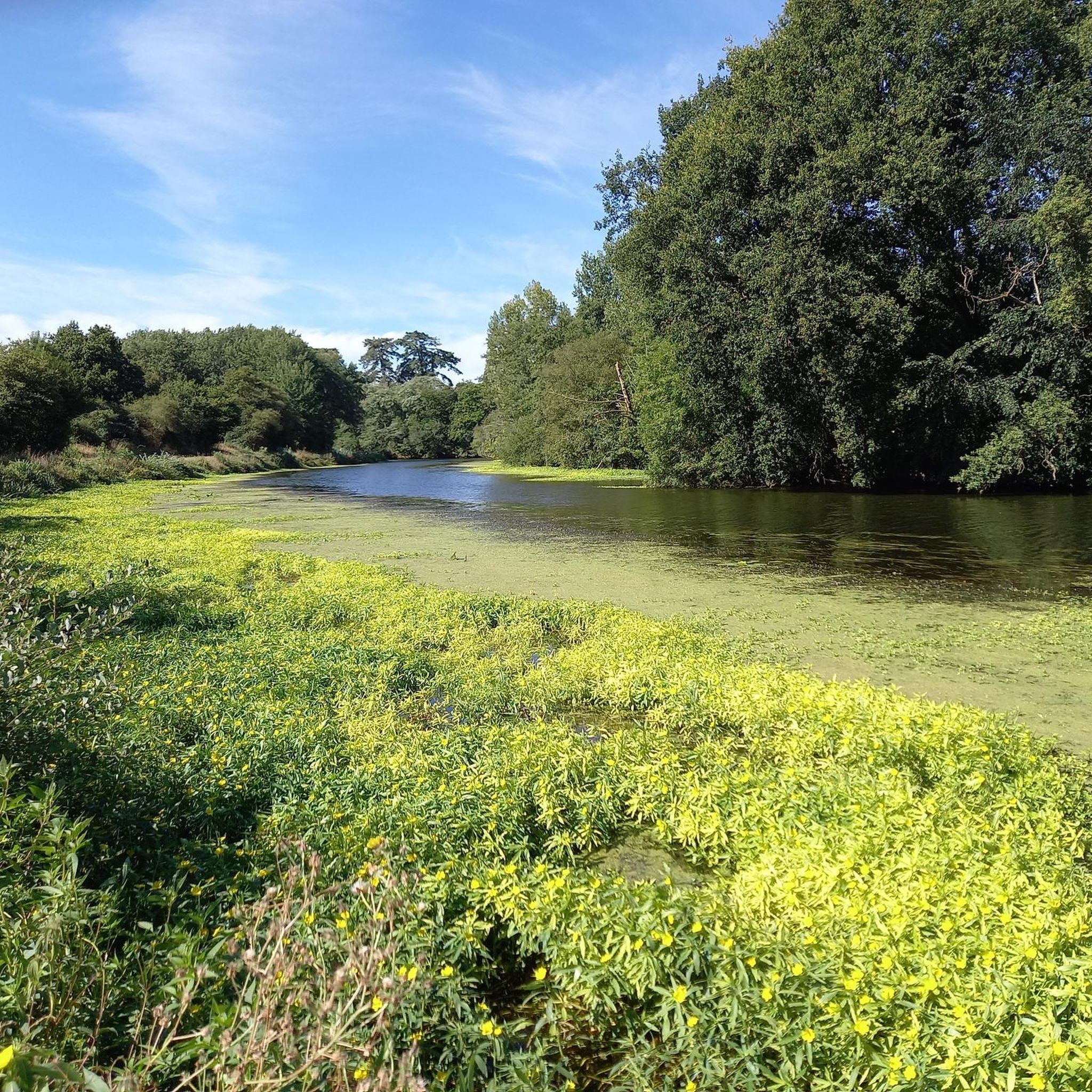
Lots of joggers, hikers and bikes on weekends. Very wet, muddy and floodable if heavy rains.
1
1
The Cuttlefish originates in the west of the village of Petre in Ille-et-Vilaine, in a small pond near the locality of L’Epine Houget, at an altitude of 167 m. It passes in total through twenty-six municipalities, ie twenty-four municipalities located in Ille-et-Vilaine and two municipalities in Mayenne. We cannot dissociate the cuttlefish from the exploitation of the Pont-Péan mining site which has shaped it since 1729, and this for two centuries. Period of combat with and against water, especially with its bed, first channeled from the confluence of the Vilaine to the castle of Carcé, then diverted by a channel from Carcé to Pont-Péan.
3
0
Bike ride along the cuttlefish
1
0
Frequently Asked Questions
What is the general terrain like for hiking in Noyal-Châtillon-Sur-Seiche?
The terrain around Noyal-Châtillon-Sur-Seiche is characterized by a gently rolling countryside, featuring a 'bocage' landscape with small fields, hedgerows, and scattered woodlands. The most prominent natural feature is the Seiche River, offering picturesque riverside paths. Elevation changes are generally low, with a maximum altitude of 47 meters, making most trails accessible and enjoyable.
How many hiking trails are available in Noyal-Châtillon-Sur-Seiche?
There are over 370 hiking routes in Noyal-Châtillon-Sur-Seiche. This includes more than 190 easy routes and 160 moderate routes, providing options for various fitness levels and preferences.
Are there any family-friendly hiking options in the area?
Yes, many trails are suitable for families due to the generally low elevation changes and accessible paths. For example, the 'Balade le long de la Seiche' is an easy loop trail equipped with benches and picnic tables, making it ideal for family outings.
Can I bring my dog on the hiking trails?
Yes, many trails in Noyal-Châtillon-Sur-Seiche are dog-friendly. The 'Balade le long de la Seiche' is specifically noted as suitable for dog walkers, offering a pleasant environment for you and your canine companion.
What are some typical distances and durations for hikes in Noyal-Châtillon-Sur-Seiche?
Hikes in the area vary in length and duration. For instance, the Lac de Vern-sur-Seiche loop from Vern-sur-Seiche is about 8.6 km and takes around 2 hours 13 minutes. A slightly longer option, the Hiking loop from Noyal-Châtillon-sur-Seiche, covers 10.4 km and typically takes around 2 hours 40 minutes.
Are there any circular walks available?
Yes, many of the hiking routes in Noyal-Châtillon-Sur-Seiche are circular, allowing you to start and end at the same point. Examples include the Lac de Vern-sur-Seiche loop from Vern-sur-Seiche and the Hiking loop from Noyal-Châtillon-sur-Seiche, which are popular loop trails.
What kind of natural features can I expect to see on the trails?
The trails primarily showcase the scenic Seiche River and the tranquil bocage landscape, characterized by hedgerows, small fields, and scattered woodlands. You'll experience a blend of riverine environments and rural scenery, with opportunities to observe local flora and fauna.
Are there any historical or cultural landmarks along the hiking routes?
While the focus is on natural beauty, some routes may pass by or be near historical points of interest. The Église Saint-Léonard, with its Romanesque crypt, is a notable landmark within the commune. Additionally, regional attractions like the historic Boël Mill and Pont-Réan are within reach for longer excursions.
What do other hikers enjoy most about the trails in Noyal-Châtillon-Sur-Seiche?
The trails in Noyal-Châtillon-Sur-Seiche are highly rated by the komoot community, with an average score of 4.6 stars from over 800 reviews. Hikers often praise the peaceful riverside paths, the charming rural landscapes, and the accessibility of the routes for various skill levels.
Are there any lakes or water bodies to explore near the hiking trails?
Yes, the area is defined by the Seiche River, and there are also several lakes nearby. The Étang d'Apigné and other lakes around Noyal-Châtillon-Sur-Seiche offer additional opportunities for recreation and scenic views, often accessible from the hiking network.
Is there parking available at the trailheads?
Yes, many trails in the region offer convenient parking. For example, the 'Balade le long de la Seiche' loop starts from the youth center parking lot. It's generally advisable to check specific route details for parking information before heading out.
What is the best time of year to go hiking in Noyal-Châtillon-Sur-Seiche?
Given the gently rolling countryside and accessible trails, hiking in Noyal-Châtillon-Sur-Seiche is enjoyable throughout much of the year. Spring and autumn offer pleasant temperatures and vibrant natural colors, while summer provides longer daylight hours. Even in winter, the low elevation changes make many routes suitable for a refreshing walk.
Most popular routes around Noyal-Châtillon-Sur-Seiche
Most popular attractions around Noyal-Châtillon-Sur-Seiche

Get inspired with the komoot mobile app


Explore more
Browse the best Hikes in other regions.
