The best walks and hikes around Lachapelle
4.3
(120)
799
hikers
24
hikes
Hiking around Lachapelle offers diverse trails through varied terrain. The region is characterized by its natural beauty, providing options from leisurely walks to more challenging treks. Hikers can expect to encounter a mix of landscapes, including rolling hills, agricultural fields, and wooded areas. The area's topography supports a range of outdoor activities for different skill levels.
Best hiking trails around Lachapelle
- The most popular hiking route is Landscapes of the Gers – Saint-Saturnin Church loop from Saint-Antoine, a 16.7…
Last updated: June 29, 2026
4.4
(34)
191
hikers
Hard hike. Very good fitness required. Easily-accessible paths. Suitable for all skill levels.
8
hikers
8.81km
02:24
130m
130m
Moderate hike. Good fitness required. Easily-accessible paths. Suitable for all skill levels.

Sign up for free
8
hikers
9.40km
02:33
140m
140m
Moderate hike. Good fitness required. Easily-accessible paths. Suitable for all skill levels.
12
hikers
18.2km
05:05
370m
370m
Hard hike. Very good fitness required. Easily-accessible paths. Suitable for all skill levels.
4
hikers
8.47km
02:24
190m
190m
Moderate hike. Good fitness required. Easily-accessible paths. Suitable for all skill levels.
Get access to more routes and recommendations from other explorers.
Sign up for free
Already have an account?
Our route recommendations are based on thousands of hikes, rides, and runs completed by other people on komoot.
Start today with a free account
Your next adventure awaits.
Login or Signup

Tips from the Community

On the entrance gates of Lamotte Castle, look for the coat of arms of the Esparbès family. Interestingly, these same motifs can also be found on the radiator caps of American Cadillac cars. This coat of arms was, in fact, borrowed from Antoine Laumet, a native of Saint-Nicolas-de-la-Grave and founder of the city of Detroit in 1701, who usurped his title of nobility by calling himself Antoine de la Motte de Cadillac. Two and a half centuries later, the American company based in Detroit used the coat of arms of its city's founder, along with part of his name.
0
0

For lovers of regional products, a farmers' market takes place every Sunday morning under the market hall!
3
0
The village of Auvillar, which overlooks the Garonne valley from its hill, is a stopping point on the road to Santiago de Compostella and has the special feature of being included on the list of most beautiful villages in France.
3
0
The area of Auvillar is 15.6 km², the population density is 63.7 inhabitants per km².
3
0
Auvillar is a municipality in the French department of Tarn-et-Garonne (region Occitanie) and has 994 inhabitants (2004). The town is part of the arrondissement of Castelsarrasin. Auvillar has been recognized by Les Plus Beaux Villages de France as one of the most beautiful villages in France
3
0

Auvillar is classified among the Most Beautiful Villages of France. The village offers many accommodations and several restaurants.
0
1

Coming from Mossiac, the town of Saint-Antoine is the 18th stage of the Camino de Santiago (Chemin de Saint-Jaques) if you follow the VIA PODIENSIS (from Le Puy-en-Velay to the Pyrenees).
2
1
Saint-Antoine is a commune in the Gers department of France and has 174 inhabitants. The place is part of the district of Condom.
3
0
Frequently Asked Questions
How many hiking trails are available around Lachapelle?
There are over 25 hiking trails around Lachapelle, offering a variety of options for different skill levels and preferences. The komoot community has rated these routes highly, with an average score of 4.4 stars.
Are there any easy or family-friendly hiking options in Lachapelle?
Yes, Lachapelle offers several easy and moderate trails suitable for families and beginners. For example, the Hiking loop from Saint-Antoine is a moderate 5.5-mile (8.8 km) trail that takes about 2 hours 24 minutes to complete, leading through pleasant rural landscapes.
What kind of landscapes can I expect to see while hiking in Lachapelle?
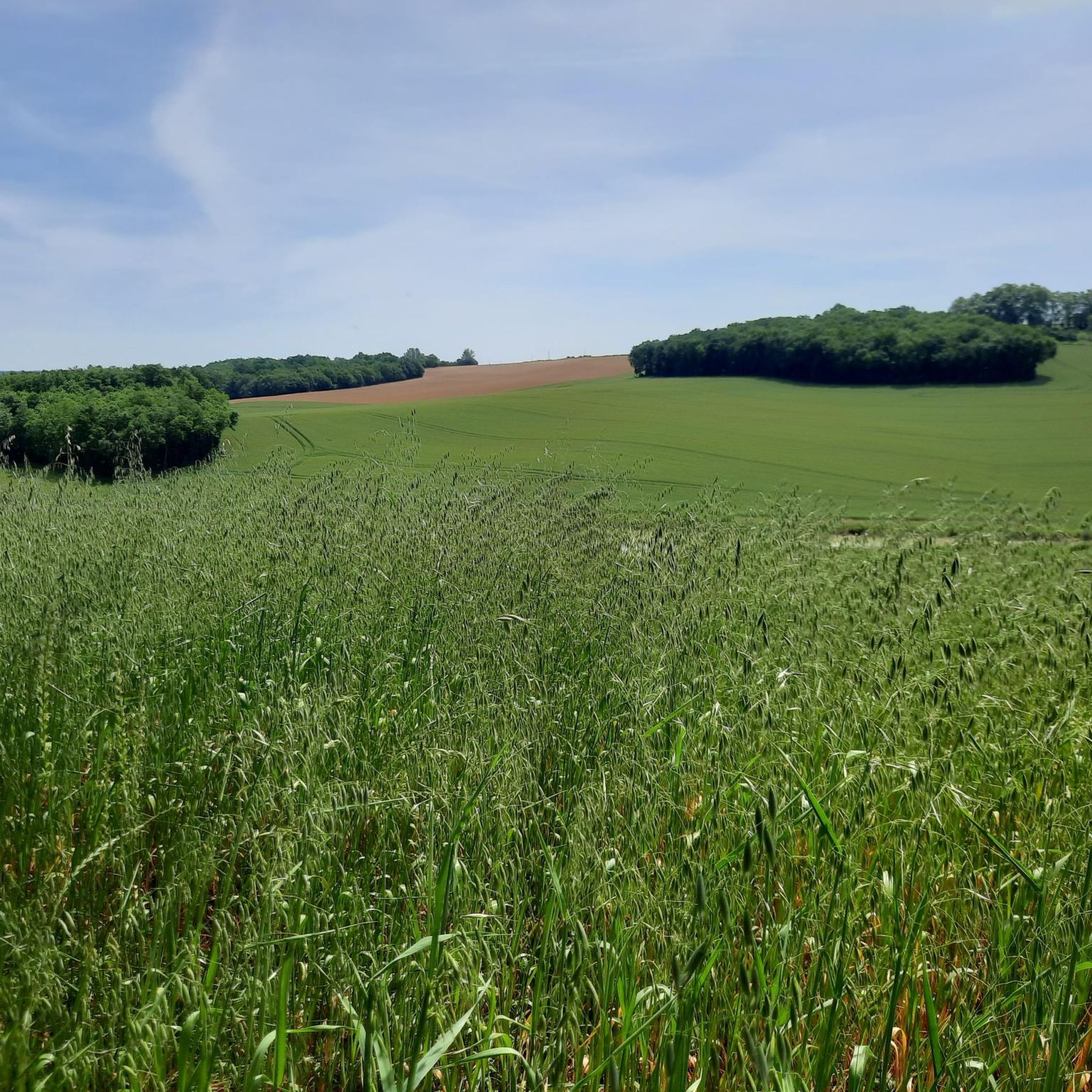
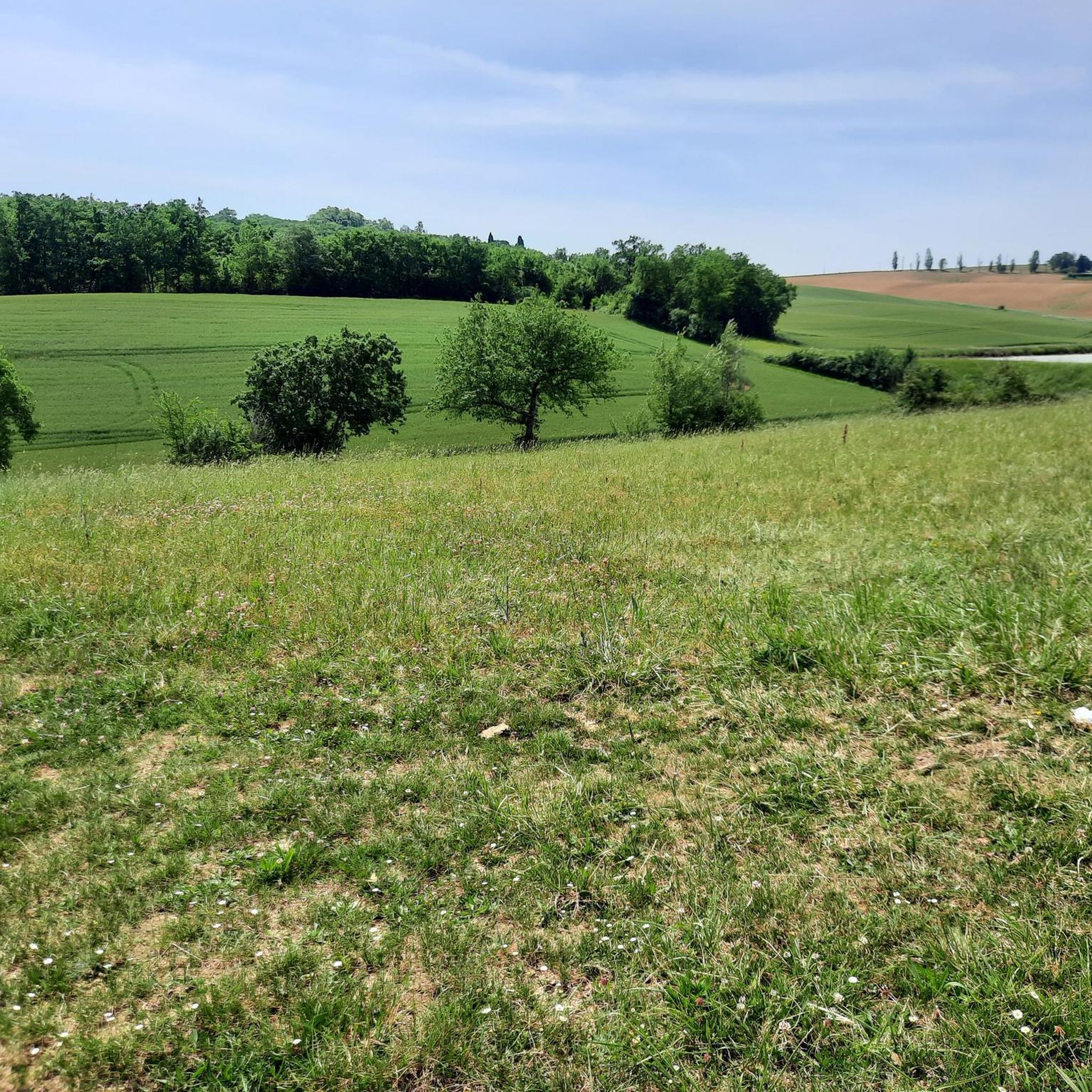
Hiking in Lachapelle features diverse landscapes, including rolling hills, agricultural plains, and scattered woodlands. The region's natural beauty provides a mix of open countryside and shaded areas, offering varied scenery throughout your hike.
Are there any circular hiking routes in Lachapelle?
Yes, many of the trails in Lachapelle are circular, allowing you to start and end at the same point. A popular example is the Landscapes of the Gers – Saint-Saturnin Church loop from Saint-Antoine, which is a longer, more challenging option, or the moderate Hiking loop from Saint-Antoine for a shorter experience.
What are some notable landmarks or attractions to see near the hiking trails?
Hikers can explore several interesting landmarks. Along some routes, you might encounter the historic Saint-Saturnin Church or the unique Auvillar Circular Market Hall. Other points of interest include the Saint-Antoine Chapel of Saint-Antoine and the Suspension bridge over the Garonne.
What do other hikers enjoy most about the trails in Lachapelle?
The trails in Lachapelle are highly rated by the komoot community, with an average score of 4.4 stars from over 120 reviews. Hikers often praise the varied terrain, the scenic views of the Gers region, and the well-maintained paths that cater to different ability levels.
Are there any trails that offer extensive views of the surrounding countryside?
Absolutely. The Landscapes of the Gers – Auvillar Circular Market Hall loop from Saint-Antoine is a challenging route specifically known for offering extensive views of the surrounding countryside and historical sites, making it a favorite for panoramic vistas.
Can I expect to see any wildlife while hiking in Lachapelle?
While specific wildlife sightings depend on the season and time of day, the wooded areas and rural landscapes around Lachapelle provide habitats for various local wildlife. Keep an eye out for birds and small mammals as you explore the quieter sections of the trails.
Are there any trails that pass by waterfalls?
The provided guide data for Lachapelle (France) does not specifically mention trails with waterfalls. However, if you are referring to other regions with similar names, such as the Chapel Loop in Michigan, USA, that area is renowned for its waterfalls like Chapel Falls and Mosquito Falls.
What is the best time of year to go hiking in Lachapelle?
The region around Lachapelle in France generally offers pleasant hiking conditions from spring through autumn. Spring brings blooming wildflowers, while autumn showcases beautiful foliage. Summer is also popular, but it's advisable to start early to avoid the midday heat.
Are there any longer, more challenging hikes for experienced trekkers?
Yes, for experienced trekkers, Lachapelle offers several challenging routes. The Landscapes of the Gers – Saint-Saturnin Church loop from Saint-Antoine is a difficult 16.7-mile (26.9 km) trail that takes approximately 7 hours 30 minutes to complete, exploring the scenic and demanding terrain of the Gers region.
Most popular attractions around Lachapelle

Get inspired with the komoot mobile app


Explore more
Browse the best Hikes in other regions.
