The best walks and hikes around Turcey
4.1
(106)
573
hikers
31
hikes
Hiking around Turcey offers a diverse landscape characterized by varied terrain. The region features routes that traverse rocky formations, including cliffs, and paths that follow water sources. Hikers can expect a mix of elevations, from gentle ascents to more challenging climbs, across its trails.
Best hiking trails around Turcey
- The most popular hiking route is Les roches de Baulme la Roche — loop from Baulme la Roche, a 2.4 miles (3.9 km) trail that takes 1 hour 14 minutes…
Last updated: July 6, 2026
4.7
(15)
55
hikers
3.86km
01:14
150m
150m
Easy hike. Great for any fitness level. Easily-accessible paths. Suitable for all skill levels.
4.6
(12)
56
hikers
16.6km
04:29
220m
220m
Moderate hike. Good fitness required. Mostly accessible paths. Sure-footedness required.

Sign up for free
4.5
(8)
68
hikers
Moderate hike. Good fitness required. Easily-accessible paths. Suitable for all skill levels.
4.3
(7)
58
hikers
16.1km
04:41
420m
420m
Moderate hike. Good fitness required. Easily-accessible paths. Suitable for all skill levels.
4.4
(5)
27
hikers
15.9km
04:30
320m
320m
Moderate hike. Good fitness required. Easily-accessible paths. Suitable for all skill levels.
Get access to more routes and recommendations from other explorers.
Sign up for free
Already have an account?
Our route recommendations are based on thousands of hikes, rides, and runs completed by other people on komoot.
Start today with a free account
Your next adventure awaits.
Login or Signup



Tips from the Community

A bucolic, clean, well-maintained, and shaded spot, with tables and trash cans for picnicking. It's officially a Paris commune, but it looks nothing like Paris.
0
0

Be careful when going down the 10 meters of the small path to see the chasm. Even in dry weather it is slippery and there is nothing to prevent you from falling into the chasm. So be careful.
1
0

The Creux Percé is an inverted cone-shaped collapsed chasm approximately 60 m deep and with a circumference ranging from 35 to 25 m at the surface. This chasm is primarily known to speleologists. Exploration of this chasm and its lateral networks began in the 19th century. This site has long been a natural icehouse with a bottom that reaches sub-zero temperatures, even in summer. https://www.bourgogne-tourisme.com/ In May 2025, a special outing, supervised by the Dijon Speleo Club, will allow visitors to descend into this crater.
1
0
There's a signposted and very beautiful circular trail that includes the source of the Seine. Learn more on the official website here: https://www.cotedor-randonnee.com/
1
0
Of the three caves, two are relatively easy to access. One can even be walked through—a beautiful place.
3
0
The Celerons viewpoint is accessible via a narrow path that branches off from the hiking trail. Caution! The path runs right along the edge of the cliffs. However, the view over the Combe des Vaux des Roches gorge and its foothills is fantastic and worth the short detour.
3
0

Wikipedia reports: "The source of the Seine is located on the plateau of Langres, 25 km north-west of Dijon in the Côte-d'Or department in the Bourgogne-Franche-Comté region, 470 m above sea level. A special feature is that the sources of the Seine were the property of the city of Paris from 1864 onwards. An artificial grotto was built a year later to protect the main source and a statue of a nymph was erected to symbolize the river. Paris has since returned the property to the region. Near the source are the remains of a Gallo-Roman temple in which a Dea Sequana (Latin goddess of the Seine) was worshipped. The archaeological finds from this are now in the archaeological department of the Musée des Beaux-Arts in Dijon."
2
1

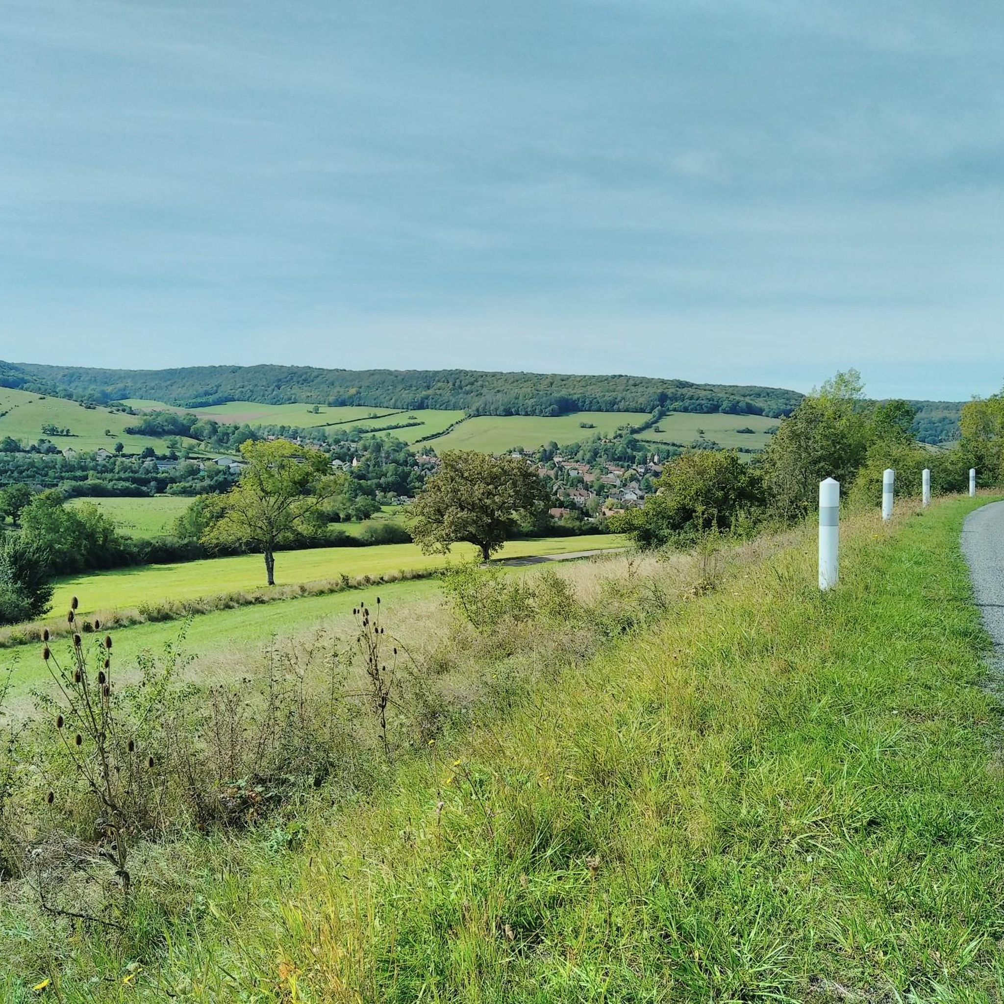
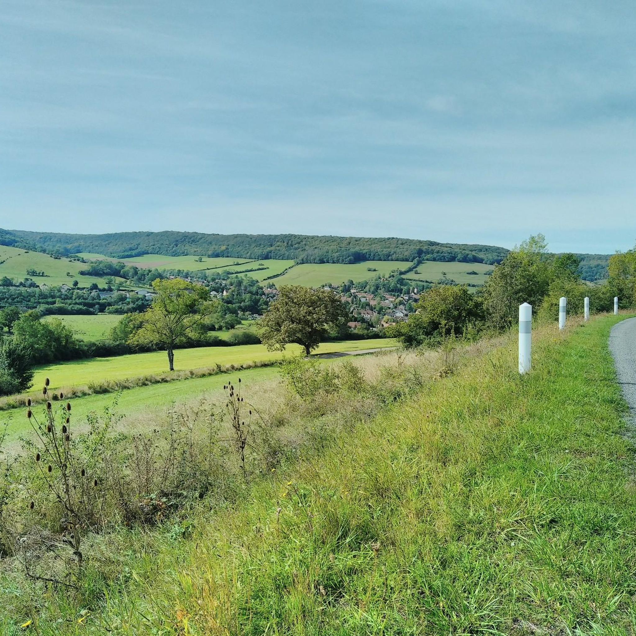
A beautiful view of the village of Baulme-la-Roche. The village has several architectural monuments (several farms, a fountain and a church).
0
0
Frequently Asked Questions
How many hiking trails are available around Turcey?
Turcey offers a diverse network of over 30 hiking trails. These routes cater to various skill levels, from easy walks to more challenging treks through the region's unique landscape.
What kind of terrain can I expect on hikes in Turcey?
Hiking in Turcey is characterized by varied terrain, including rocky formations, dramatic cliffs, and paths that often follow water sources. You'll encounter a mix of elevations, from gentle ascents to more demanding climbs.
Are there easy hiking options suitable for families or beginners in Turcey?
Yes, Turcey has 11 easy hiking routes perfect for families or those new to hiking. An excellent option is Les roches de Baulme la Roche — loop from Baulme la Roche, which is 2.4 miles (3.9 km) long and explores the rocky features of Baulme la Roche.
What are some notable natural features or landmarks to see while hiking in Turcey?
Turcey's trails lead to several interesting natural features. You can discover the Panorama of the Baulme‑la‑Roche Rocks, visit the historic Source of the Seine, or explore the unique La Roche Virante. For impressive views, consider the Celerons viewpoint or the Gouffre du creux Percé.
Are there any circular hiking routes in Turcey?
Yes, many routes in Turcey are circular. For example, the Entrance to the cliff path – Baulme-la-Roche Cliff loop from Baulme-la-Roche offers a 7.8-mile (12.5 km) journey through cliffside terrain. Another option is the Baulme-la-Roche Stream – Baulme-la-Roche Cliff loop from Blaisy-Bas, which is a moderate 10-mile (16.1 km) loop.
What do other hikers say about the trails in Turcey?
The hiking routes in Turcey are highly rated by the komoot community, with an average score of 4.0 stars from 100 reviews. Hikers often praise the varied terrain, including rocky outcrops and cliff paths, and the opportunities to explore natural water sources.
Are there any challenging hikes for experienced trekkers in Turcey?
Yes, for experienced trekkers, Turcey offers 3 difficult routes. These trails provide more demanding climbs and rugged terrain, perfect for those seeking a greater challenge.
Can I find routes that follow water in Turcey?
Absolutely. Many trails in Turcey are designed to follow water sources, offering picturesque views and a refreshing hiking experience. The Source of the Seine Trail is a prime example, following the initial course of the Seine River.
What is the longest moderate hike available in Turcey?
One of the longer moderate options is the Source of the Seine Trail, which spans 10.3 miles (16.6 km). This path offers a substantial journey through the landscape, following the river's early stages.
How many people have explored Turcey's trails using komoot?
More than 500 hikers have used komoot to explore Turcey's varied terrain, indicating a popular and well-regarded hiking destination within the komoot community.
Are there any viewpoints along the hiking trails in Turcey?
Yes, Turcey offers several trails that lead to stunning viewpoints. The Celerons viewpoint – Creux Perçé Chasm loop from Résurgence du Ru Blanc is a moderate 9.9-mile (15.9 km) route that includes the scenic Celerons viewpoint.
Most popular attractions around Turcey

Get inspired with the komoot mobile app


Explore more
Browse the best Hikes in other regions.
