The best MTB trails around Saint-Broladre
4.4
(192)
923
riders
58
rides
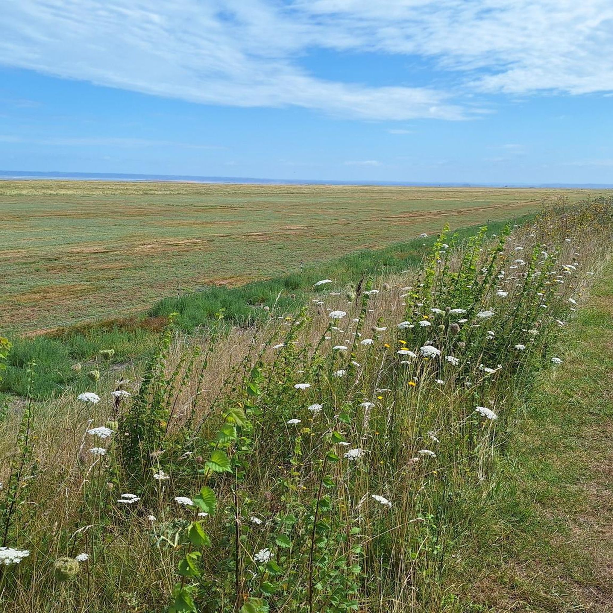
Mountain biking around Saint-Broladre offers a network of trails across a predominantly flat, coastal landscape. The region is characterized by open plains, agricultural areas, and coastal dykes, providing extensive views. Elevation changes are generally gentle, with some routes featuring minor climbs and descents. The terrain is suitable for various skill levels, from easy paths to more challenging sections.
Best mountain bike trails around Saint-Broladre
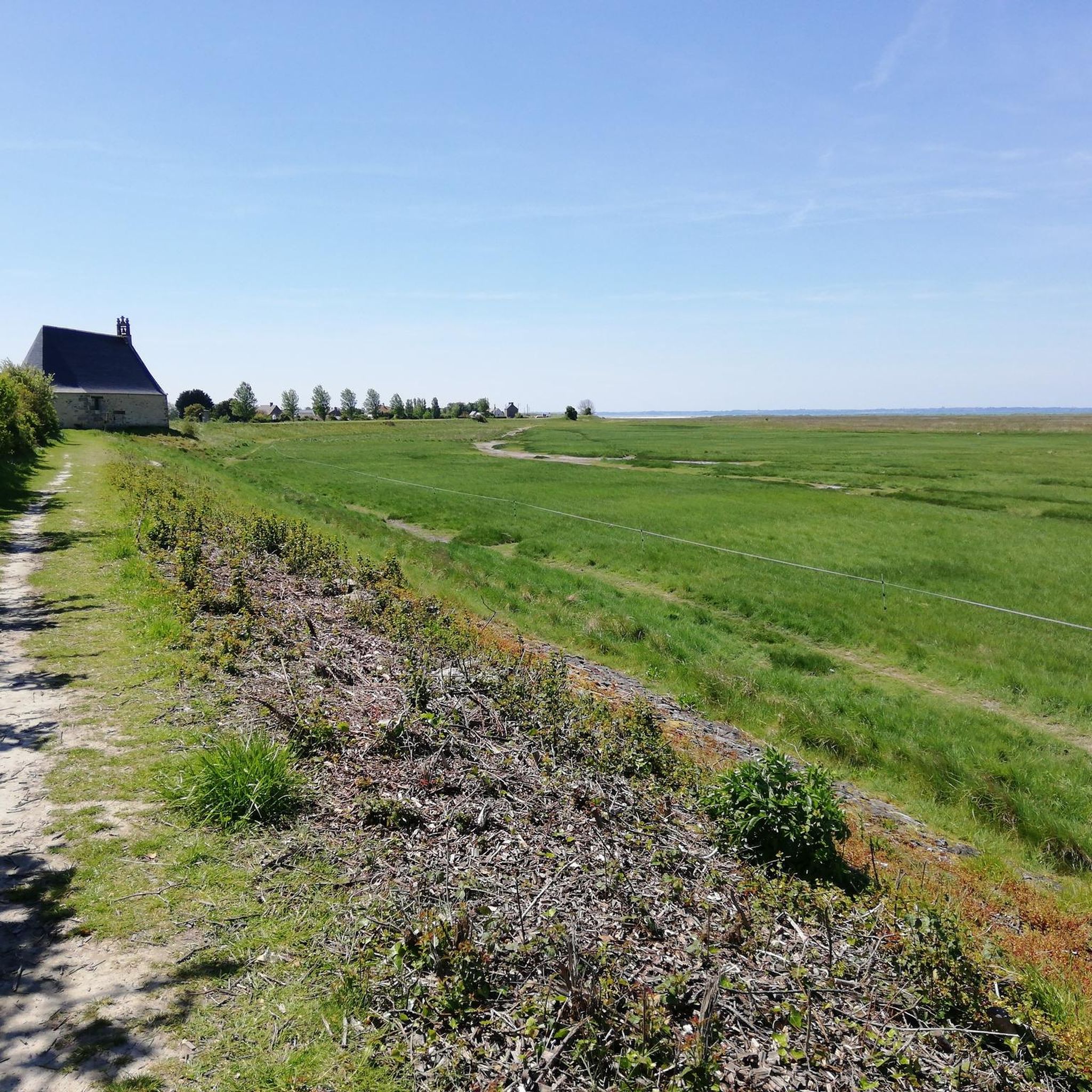
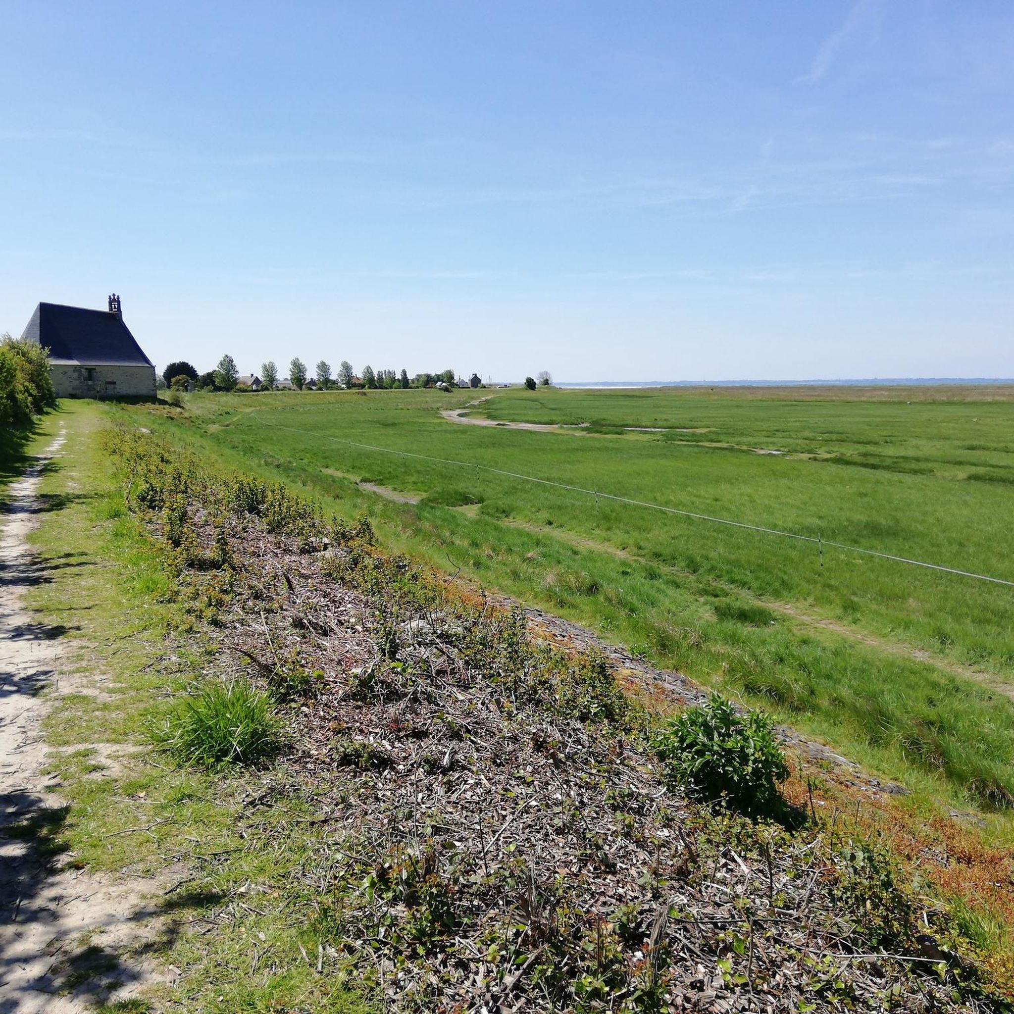
- The most popular mountain bike trail is Sainte Anne Chapel – View of Mont Saint-Michel loop…
Last updated: October 21, 2026
4.7
(21)
106
riders
44.1km
02:26
50m
50m
Moderate mountain bike ride. Good fitness required.
4.6
(7)
39
riders
Moderate mountain bike ride. Good fitness required.

5.0
(5)
9
riders
40.3km
02:41
290m
290m
Moderate mountain bike ride. Good fitness required. Advanced riding skills necessary.
4.0
(4)
7
riders
Easy mountain bike ride.
4.0
(2)
16
riders
55.9km
03:24
410m
400m
Moderate mountain bike ride. Good fitness required.
Get access to more routes and recommendations from other explorers.
Already have an account?
Our route recommendations are based on thousands of hikes, rides, and runs completed by other people on komoot.
Start today with a free account
Your next adventure awaits.
Tips from the Community

Mont-Saint-Michel is a world-famous rocky island and commune on the border between Normandy and Brittany in France. Crowned by a monumental, medieval Benedictine abbey, this architectural marvel has been a UNESCO World Heritage site since 1979. The bay of the mount is also known for Europe's strongest tides, with a tidal range of up to 14 meters.
2
0

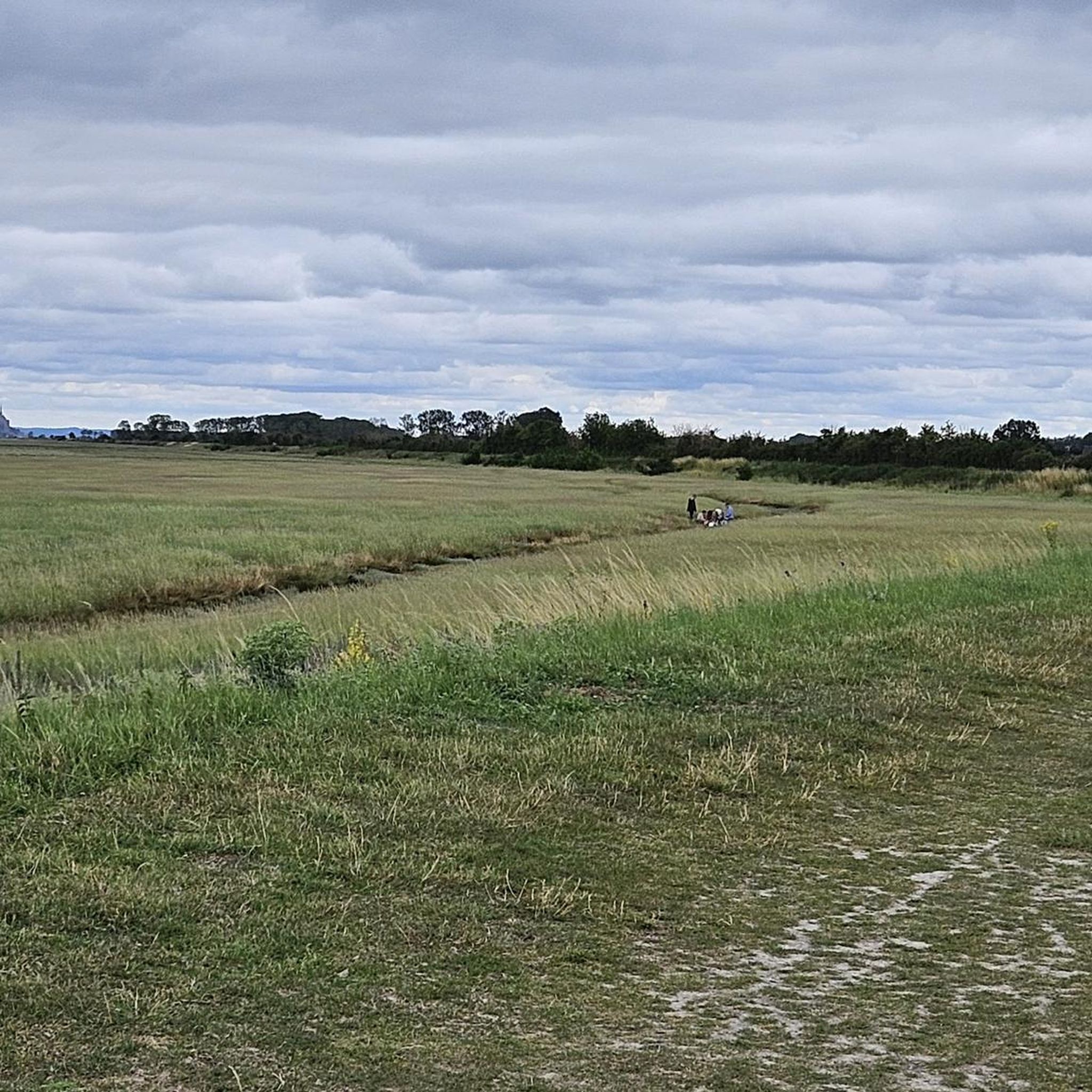
The footpath along the Couesnon to the dam already offers an impressive view of Mont-Saint-Michel. From here, the path with an unobstructed view leads across the salt marshes and the bay, with the landmark of Normandy impressively rising against the wide landscape. Especially in calm weather and with changing light, atmospheric views emerge of Mont-Saint-Michel, the course of the Couesnon river, and the tide-shaped surroundings.
14
0
The Couesnon dam (Barrage du Couesnon) was completed in 2009 and is part of the measures to preserve the bay of Mont-Saint-Michel. The facility regulates the water flow of the Couesnon and supports the natural removal of sediments by the tides. This is intended to counteract the increasing silting up of the bay and preserve the special character of Mont-Saint-Michel as a tidal island. The dam also offers a popular viewpoint with a view of Mont-Saint-Michel and the surrounding salt marshes.
3
0

From there it looks the strongest !!!
2
0

If there's a remarkable site that's worth a detour, it's Mont St Michel!
2
0

The water we crossed was quite muddy, but that's just a side note.
1
1

impressive technology, the lock
2
0

Frequently Asked Questions
How many mountain bike trails are available around Saint-Broladre?
There are over 70 mountain bike trails around Saint-Broladre, offering a diverse range of options for different skill levels. This includes 27 easy routes, 43 moderate routes, and 1 difficult route.
Are there easy or family-friendly mountain bike trails in Saint-Broladre?
Yes, Saint-Broladre offers several easy routes suitable for beginners and families. One such option is the Panneau d'information – Technical Descent Trail loop from Saint-Broladre, an easy 17.7 miles (28.5 km) trail that takes about 2 hours to complete. The region's predominantly flat landscape makes many paths accessible.
What is the best time of year for mountain biking in Saint-Broladre?
The best time for mountain biking in Saint-Broladre is generally from spring through autumn, when the weather is mild and the coastal and agricultural paths are dry. While winter riding is possible, some trails might be muddier, and coastal winds can be stronger.
Are there any challenging mountain bike trails for advanced riders?
Yes, for advanced riders seeking a challenge, the region offers routes like the Sainte Anne Chapel – View of Mont Saint-Michel loop from Réserve de la Chapelle Sainte-Anne. This difficult 50.6 miles (81.4 km) trail provides extensive riding and takes over 5 hours to complete, featuring varied terrain and expansive views.
What kind of views can I expect on mountain bike trails in Saint-Broladre?
Mountain bike trails in Saint-Broladre offer extensive views across open plains, agricultural areas, and coastal dykes. Many routes provide stunning vistas towards the iconic Mont Saint-Michel, especially from elevated sections or coastal paths.
Are there circular mountain bike trails available in Saint-Broladre?
Yes, many mountain bike trails in Saint-Broladre are designed as circular loops, allowing you to start and finish at the same point. Examples include the Sainte Anne Chapel – Windmill No. 1 loop from Roz-sur-Couesnon, a moderate 36.0 miles (58.0 km) route, and the Pont d'Orson – Beautiful shaded trail loop from Baguer-Pican.
What do other mountain bikers say about the trails in Saint-Broladre?
The mountain bike trails in Saint-Broladre are highly rated by the komoot community, with an average score of 4.3 stars from over 190 reviews. Riders often praise the extensive views, the variety of terrain from flat coastal paths to some technical sections, and the overall experience of exploring the region's unique landscape.
What are some interesting landmarks or attractions to see along the mountain bike routes?
While mountain biking, you can encounter several interesting landmarks. Many routes offer views of Mont Saint-Michel. Other notable points of interest in the wider area include the Moulin de la Saline and the Megalithic Tombs of Saint-Broladre.
How long are the mountain bike trails in Saint-Broladre?
The length of mountain bike trails in Saint-Broladre varies significantly. You can find shorter routes like the easy 17.7 miles (28.5 km) Panneau d'information – Technical Descent Trail loop from Saint-Broladre, or longer, more demanding rides such as the difficult 50.6 miles (81.4 km) Sainte Anne Chapel – View of Mont Saint-Michel loop from Réserve de la Chapelle Sainte-Anne.
What is the typical terrain like for mountain biking in Saint-Broladre?
The terrain around Saint-Broladre is predominantly flat, characterized by open plains, agricultural areas, and coastal dykes. While elevation changes are generally gentle, some routes feature minor climbs and descents, and you might encounter varied surfaces from paved sections to gravel and dirt paths.
Are there any mountain bike trails that pass by historic windmills?
Yes, some routes traverse the open countryside and pass by historic windmills. The Sainte Anne Chapel – Windmill No. 1 loop from Roz-sur-Couesnon is a moderate 36.0 miles (58.0 km) path that specifically highlights these historic structures, offering a glimpse into the region's past.
Most popular routes around Saint-Broladre
Most popular attractions around Saint-Broladre

Get inspired with the komoot mobile app


Explore more
Browse the best MTB trails in other regions.
