The best road cycling routes around Saint-Trivier-Sur-Moignans
4.4
(99)
1,035
riders
177
rides
Road cycling routes around Saint-Trivier-Sur-Moignans traverse a landscape characterized by flat plains and gently rolling agricultural land, interspersed with river valleys and numerous ponds typical of the Dombes region. The terrain generally features low elevation gains, making it suitable for various fitness levels. Routes often follow quiet country roads through rural settings, with minor undulations from glacial moraines adding subtle variations.
Best road cycling routes around Saint-Trivier-Sur-Moignans
- The most popular road cycling route is Church of Villars-les-Dombes – Church in…
Last updated: July 5, 2026
4.0
(1)
14
riders
Easy road ride. Great for any fitness level. Mostly well-paved surfaces and easy to ride.
10
riders
59.4km
02:31
370m
370m
Moderate road ride. Good fitness required. Mostly well-paved surfaces and easy to ride.

Sign up for free
4.3
(3)
7
riders
Easy road ride. Great for any fitness level. Mostly well-paved surfaces and easy to ride.
5.0
(1)
5
riders
44.4km
01:52
310m
310m
Moderate road ride. Good fitness required. Mostly well-paved surfaces and easy to ride.
4
riders
60.3km
02:42
640m
640m
Moderate road ride. Good fitness required. Mostly well-paved surfaces and easy to ride.
Get access to more routes and recommendations from other explorers.
Sign up for free
Already have an account?
Our route recommendations are based on thousands of hikes, rides, and runs completed by other people on komoot.
Start today with a free account
Your next adventure awaits.
Login or Signup
Tips from the Community

The Col de Durbize is a mountain pass at 550 meters above sea level in the municipality of Chiroubles, in the heart of the Beaujolais wine region. The pass is located in the Massif Central and, as an important road junction (intersection of roads D26, D86, and D18E1), connects surrounding wine villages such as Villié-Morgon and Beaujeu. It is particularly popular with road cyclists and hikers for its panoramic views.
0
0
The pass is a popular climb for road cyclists in the region. The route from Villié-Morgon via the Col du Truges up to the higher Col du Fût d'Avenas is considered a scenically beautiful, steady tour past gentle vineyards.
0
0


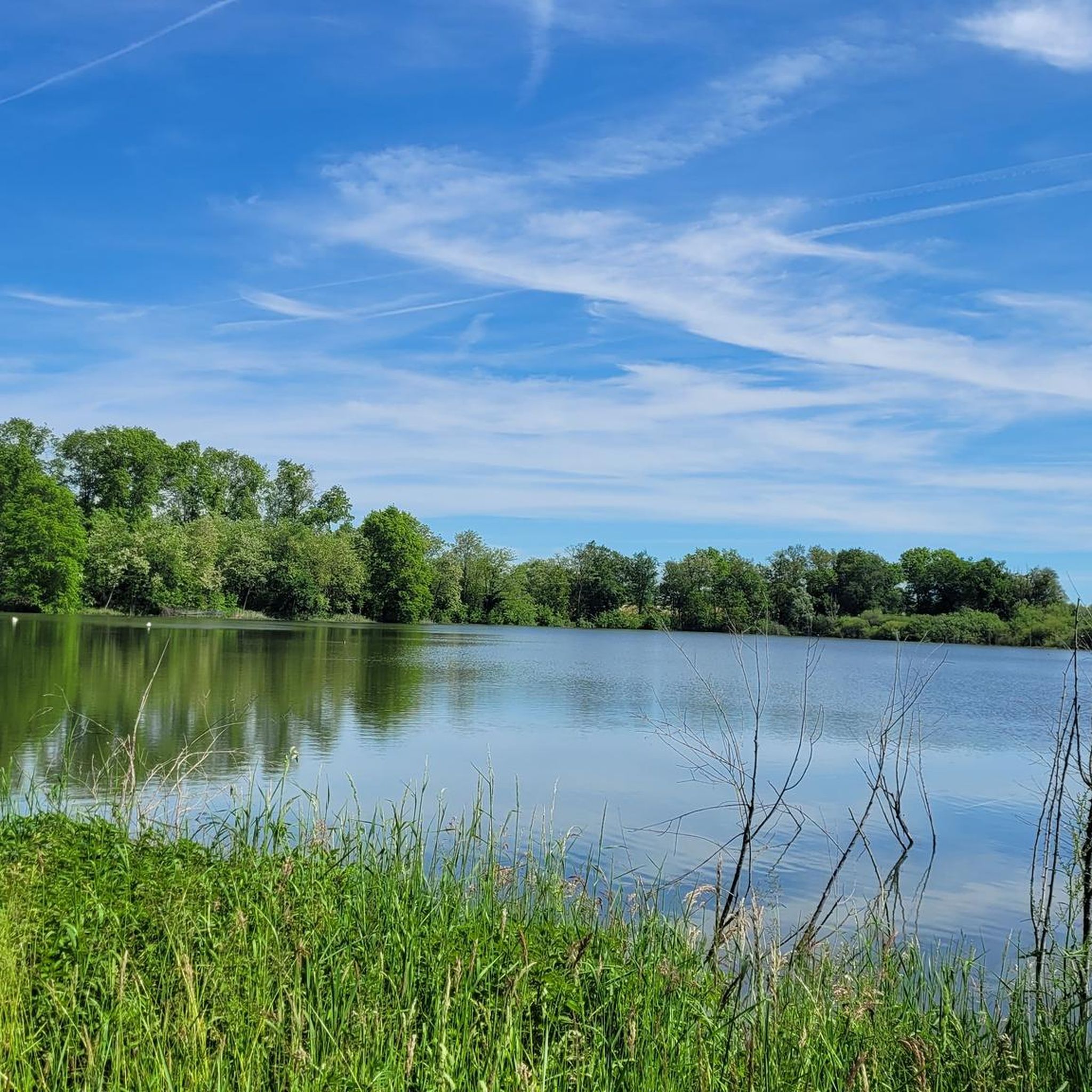
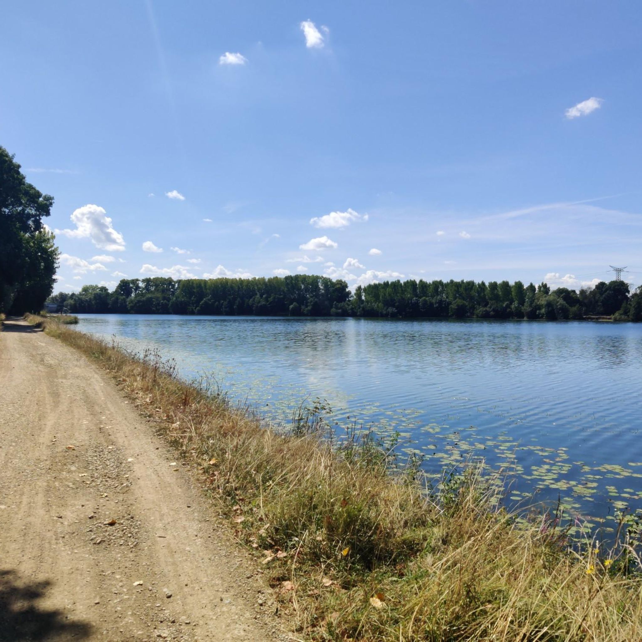
Ideally located on the banks of the Saône, north of Lyon and close to the Beaujolais hillsides, Guéreins is a very pleasant village.
0
0
The Saône was described for the first time by Julius Caesar in his collection The Conquest of the Gauls. He describes this river as being so calm that one does not know in which direction it flows.
0
0

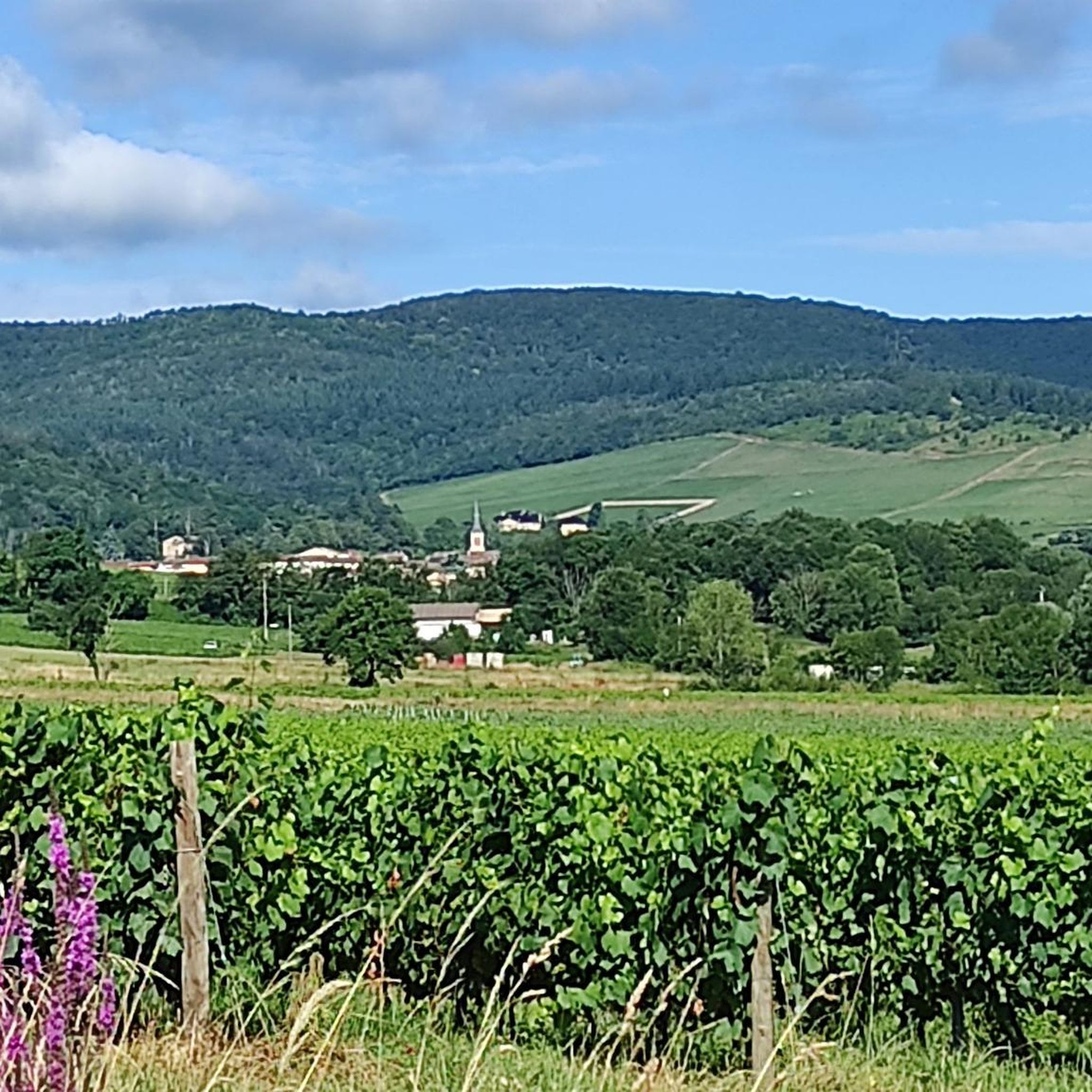
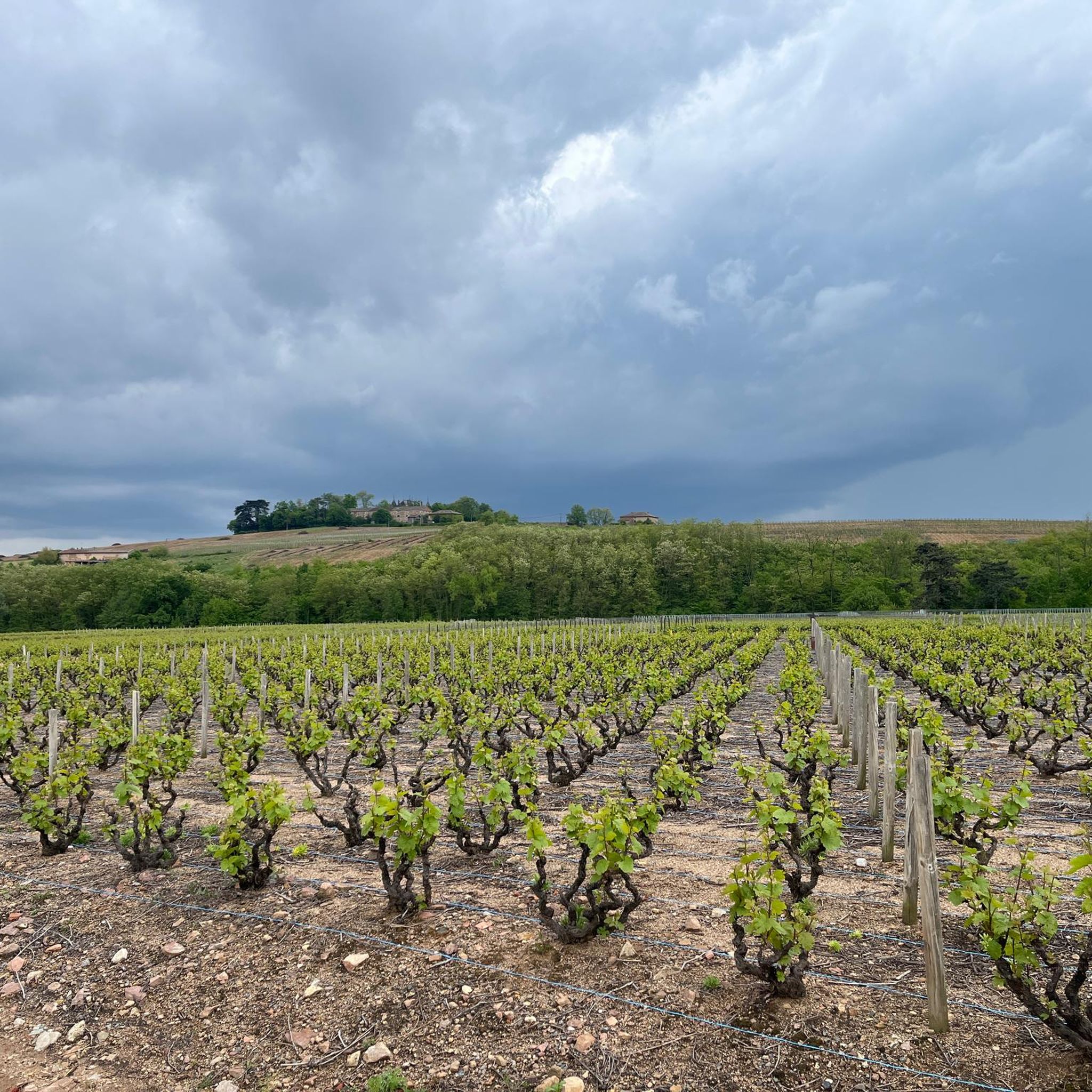
Several possible routes through the vineyards towards Villié-Morgon, notably via Chiroubles.
1
0
Pleasant climb between the vineyards.
0
0
Frequently Asked Questions
How many road cycling routes are available around Saint-Trivier-Sur-Moignans?
There are over 160 road cycling routes available around Saint-Trivier-Sur-Moignans, catering to various skill levels. You'll find a wide selection of tours, from easy rides to more challenging routes.
What kind of terrain can I expect on road cycling routes in the Saint-Trivier-Sur-Moignans area?
The terrain around Saint-Trivier-Sur-Moignans is primarily characterized by flat plains and gently rolling agricultural land, typical of the Dombes region. Routes often follow quiet country roads, with some areas featuring river valleys and numerous ponds. While generally low in elevation gain, some routes include more varied terrain with moderate climbs, such as the Truges Pass - 496 m – Col de Durbize loop from Chaneins.
Are there easy road cycling routes suitable for beginners or families?
Yes, Saint-Trivier-Sur-Moignans offers many easy road cycling routes perfect for beginners or families. These routes typically feature minimal elevation gain and follow flat countryside roads. A great example is the Church of Villars-les-Dombes loop from Ambérieux-en-Dombes, which is 22.1 miles (35.6 km) long with very little climbing.
Are there any longer or more challenging road cycling routes for experienced cyclists?
For experienced cyclists looking for longer distances or more elevation, there are several moderate and a few difficult routes. The Guéreins – Illiat church loop from Chaneins is a moderate 36.9 miles (59.4 km) route with over 360 meters of ascent. Another option is the Truges Pass - 496 m – Col de Durbize loop from Chaneins, which is 37.5 miles (60.3 km) and includes a pass.
What can I see along the road cycling routes in Saint-Trivier-Sur-Moignans?
Many routes offer scenic views of the agricultural landscape, ponds, and river valleys. You can also discover historical sites and castles. For instance, you might pass near the Château de Fléchères or the Château de Bouligneux. The Montmerle-sur-Saône – Saône riverside loop from Saint-Trivier-sur-Moignans offers views along the Saône river.
Are there any circular road cycling routes in the area?
Yes, many of the road cycling routes around Saint-Trivier-Sur-Moignans are circular, allowing you to start and end at the same point. Examples include the Church of Villars-les-Dombes loop from Ambérieux-en-Dombes and the Illiat church loop from Saint-Trivier-sur-Moignans.
What is the best time of year to go road cycling in Saint-Trivier-Sur-Moignans?
The best time for road cycling in Saint-Trivier-Sur-Moignans is generally during the spring, summer, and early autumn months. The flat terrain makes it enjoyable in warmer weather, but be mindful of summer heat. Spring and autumn offer pleasant temperatures and beautiful scenery as the agricultural landscape changes.
What do other road cyclists say about the routes in Saint-Trivier-Sur-Moignans?
The road cycling routes in Saint-Trivier-Sur-Moignans are highly rated by the komoot community, with an average score of 4.4 stars from over 80 reviews. Cyclists often praise the quiet country roads, the flat and accessible terrain, and the scenic views of the Dombes region's ponds and agricultural fields.
Are there any specific landmarks or points of interest along the routes?
Beyond the natural scenery, you can find several historical points of interest. The Keep of the Château d'Ambérieux-en-Dombes and the Ramparts of Saint-Trivier-sur-Moignans are notable historical sites. Additionally, the Towpath along the Saône offers a unique cycling experience.
What are the typical durations for road cycling routes in this region?
Route durations vary significantly. Easy routes like the Church of Villars-les-Dombes loop from Ambérieux-en-Dombes can be completed in about 1 hour 25 minutes. Moderate routes, such as the Truges Pass - 496 m – Col de Durbize loop from Chaneins, typically take around 2 hours 42 minutes, with longer options available for full-day excursions.
Are there any routes that follow rivers or waterways?
Yes, the region's landscape includes river valleys. The Montmerle-sur-Saône – Saône riverside loop from Saint-Trivier-sur-Moignans is a popular route that follows the Saône riverside, offering pleasant views of the water and surrounding areas.
Most popular routes around Saint-Trivier-Sur-Moignans
Most popular attractions around Saint-Trivier-Sur-Moignans

Get inspired with the komoot mobile app


Explore more
Browse the best Road cycling routes in other regions.
