The best road cycling routes around Grandvillers
4.4
(82)
1,636
riders
108
rides
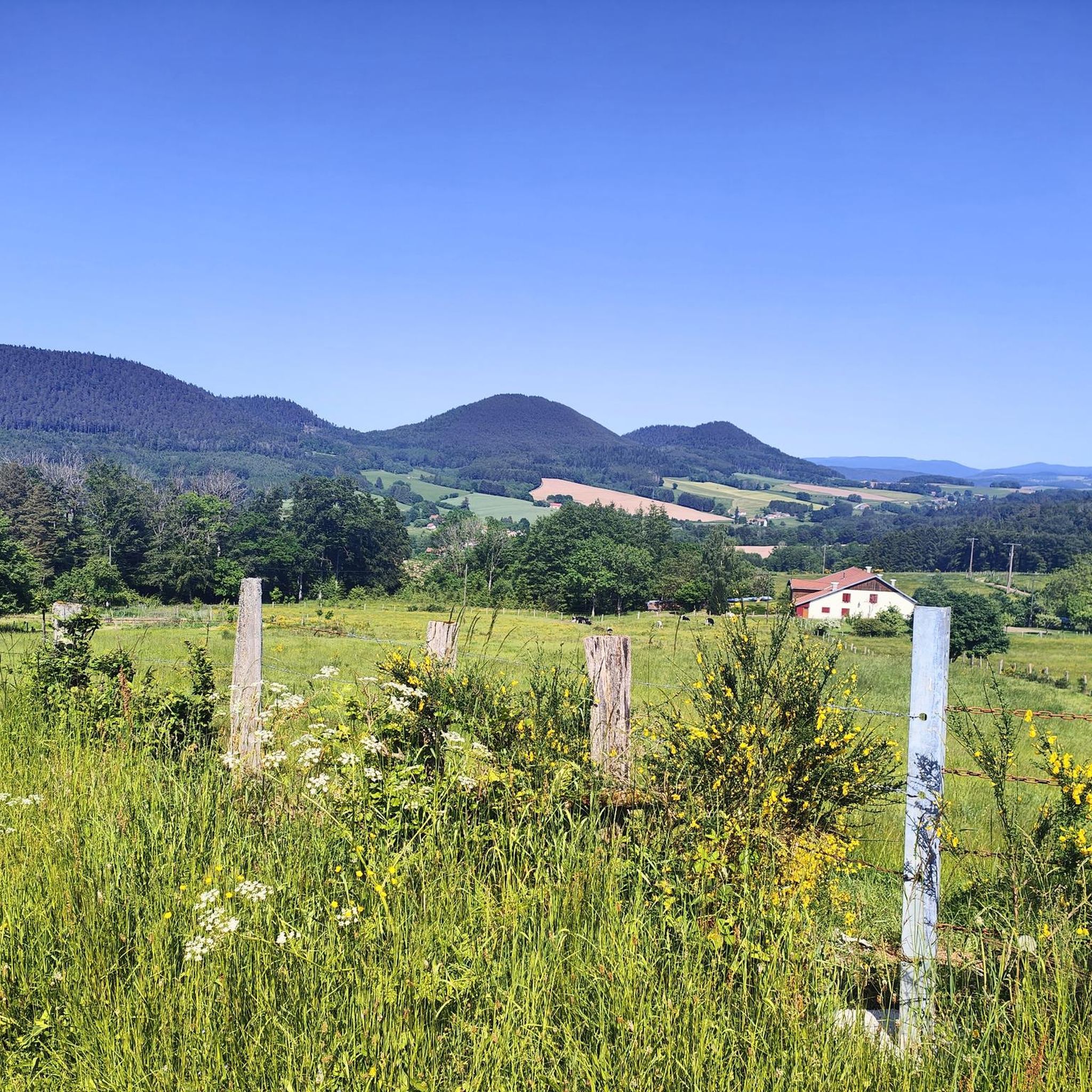
Road cycling routes around Grandvillers are characterized by the diverse landscapes of the Vosges department in the Grand Est region of France. The area features undulating roads through forests, hills, and winding mountain ridges, providing varied terrain for cyclists. This region offers both scenic rides and challenging ascents, with routes extending into the broader Vosges mountains.
Best road cycling routes around Grandvillers
- The most popular road cycling route is Col du Wettstein – Wettstein Pass loop from Bruyères, a…
Last updated: October 3, 2026
5.0
(1)
135
riders
105km
05:25
1,810m
1,810m
Hard road ride. Very good fitness required. Mostly well-paved surfaces and easy to ride.
4.0
(2)
35
riders
183km
09:30
3,220m
3,220m
Hard road ride. Very good fitness required. Mostly well-paved surfaces and easy to ride.

4.6
(5)
87
riders
54.2km
02:33
690m
690m
Moderate road ride. Good fitness required. Mostly well-paved surfaces and easy to ride.
5.0
(2)
69
riders
133km
07:14
2,530m
2,530m
Hard road ride. Very good fitness required. Mostly well-paved surfaces and easy to ride.
4.3
(4)
61
riders
67.2km
03:10
830m
830m
Moderate road ride. Good fitness required. Mostly well-paved surfaces and easy to ride.
Get access to more routes and recommendations from other explorers.
Already have an account?
Our route recommendations are based on thousands of hikes, rides, and runs completed by other people on komoot.
Start today with a free account
Your next adventure awaits.
Tips from the Community

De Col des Croix is a 679-meter-high mountain pass in the French Vogezen massif, located on the border of the Vosges and Haute-Saône departments. The pass forms an accessible connecting road (the D486) between the northern Le Thillot and the southern Servance. At the top, you will find the well-known Le Chalet Snack du Col des Croix, and the road splits towards the D16 (Route des Forts), the route that continues to the higher Ballon de Servance.
6
0
The end of the climb is somewhat disappointing. There is nothing marked. No photo opportunity. You have a small parking lot, a closed military road, and a picnic spot well hidden under the trees. At the two yellow signs (mainly for hikers) there is the only indication that you are at the Ballon de Servance and at 1158 m. The climb is "cozy". No cars, completely shaded, a few kilometer markers.
7
0

Really nice to ride with a moderate incline. More info here: https://www.quaeldich.de/paesse/col-du-wettstein/
0
0

A small pass after the Ballon de Severance. Refreshment stand with a view.
3
0
Long hesitated to do it. Short but very hard, with the Pinot turn and the last ramp of the super board to tell yourself that it's really hard.
0
0

Beautiful lake. The cycle path on the eastern side is more like a cycle street that is great to ride on.
2
0

Very pleasant ascent, steady with a quality surface, be careful, keep a second ramp under your pedal, it hides behind before reaching the lake of Gérardmer!
1
0

Beautiful climb that winds up in several switchbacks with a very moderate gradient. Train a little for everyone, easy to do!👍
0
0
Frequently Asked Questions
What kind of terrain can I expect on road cycling routes around Grandvillers?
The region around Grandvillers, nestled in the Vosges department, offers a diverse road cycling experience. You'll encounter undulating roads winding through dense forests, challenging hills, and scenic mountain ridges. This varied landscape provides options for both leisurely rides and more strenuous climbs, characteristic of the broader Vosges mountains.
How many road cycling routes are there in total around Grandvillers?
There are over 120 road cycling routes available around Grandvillers, catering to various skill levels. This includes a good mix of easy, moderate, and difficult options to explore the diverse Vosges landscape.
Are there routes suitable for beginners or those looking for an easier ride?
Yes, approximately 24 of the routes around Grandvillers are classified as easy, offering gentler gradients and shorter distances. These are perfect for those new to road cycling or looking for a more relaxed experience through the scenic countryside.
What are some challenging road cycling routes for experienced cyclists?
For experienced cyclists seeking a challenge, there are 19 difficult routes available. A notable option is the Col du Wettstein – Wettstein Pass loop from Bruyères, a 65.1-mile (104.7 km) route with significant elevation gain. Another demanding ride is the View of Lake Lispach – Col du Wettstein loop from Bruyères, spanning 82.4 miles (132.6 km) through the Vosges landscape.
Can I find circular road cycling routes around Grandvillers?
Yes, many of the routes around Grandvillers are designed as loops, allowing you to start and finish in the same location. For example, the Moulin Lake – Arrentes Pass loop from Bruyères is a moderate 33.7-mile (54.2 km) path that offers a balanced ride through varied terrain.
What kind of natural attractions can I see along the road cycling routes?
The routes often pass through beautiful natural settings. While cycling, you might encounter highlights such as the Pointhaie Rocks. The broader region also features stunning natural sites like the Cascade de la Pissoire waterfall, and prominent peaks like Hohneck and Champ du Feu, which offer panoramic views and challenging ascents.
Are there any cultural or historical points of interest near the cycling routes?
Yes, you can integrate cultural stops into your rides. The Forest road between Brouvelieures and Autrey and the Forest Route from Taintrux to Les Rouges-Eaux offer scenic passages. Additionally, nearby towns like Epinal, Bruyeres, and Rambervillers provide opportunities to experience local life and markets, and historical sites like Château de Moyen are within cycling distance for longer excursions.
What do other road cyclists say about the routes around Grandvillers?
The road cycling routes around Grandvillers are highly regarded by the komoot community, holding an average rating of 4.6 stars from over 40 reviews. Cyclists frequently praise the diverse terrain, the beautiful Vosges landscapes, and the variety of routes available for different skill levels.
Are there options to refill water or find amenities along the routes?
While specific amenities vary by route, some routes, like the Refill your bidon here! ☝ – Im Grünen loop from Bruyères, explicitly highlight points for water refills. The presence of nearby towns like Bruyeres and Rambervillers also suggests opportunities for cafes and other services.
What is the best time of year for road cycling in Grandvillers?
The Vosges region, including Grandvillers, is generally popular for cycling throughout the warmer months. Spring and autumn offer pleasant temperatures and beautiful scenery, while summer provides longer daylight hours. It's always advisable to check local weather conditions before heading out.
Can I find routes that pass by lakes or other water features?
Yes, some routes incorporate beautiful water features. For instance, the Moulin Lake – Arrentes Pass loop from Bruyères passes by Moulin Lake, offering picturesque views. Another route, Along the lake – La Roche du Diable Rock Arch loop from Bruyères, also features a lake section.
Most popular routes around Grandvillers
Most popular attractions around Grandvillers

Get inspired with the komoot mobile app


Explore more
Browse the best Road cycling routes in other regions.
