The best road cycling routes around Mortagne
4.3
(331)
3,962
riders
192
rides
Road cycling routes around Mortagne traverse a landscape characterized by rolling hills, picturesque valleys, and serene river courses such as the Huisne and Sèvre Nantaise. The region features quiet woodlands and open countryside, offering varied terrain for road cyclists. Elevation gains are common, particularly in areas like the Parc Naturel Régional du Perche, providing a mix of challenging climbs and gentler stretches. The area's natural features include river valleys, old mills, and historic sites integrated into the cycling experience.
Best…
Last updated: July 5, 2026
4.6
(15)
152
riders
78.4km
03:39
790m
790m
Moderate road ride. Good fitness required. Some segments of this route may be unpaved and difficult to ride.
2.9
(14)
70
riders
58.4km
02:37
610m
610m
Moderate road ride. Good fitness required. Mostly well-paved surfaces and easy to ride.

Sign up for free
4.8
(4)
30
riders
53.9km
02:32
600m
590m
Moderate road ride. Good fitness required. Mostly well-paved surfaces and easy to ride.
3.0
(1)
27
riders
43.3km
01:53
390m
390m
Moderate road ride. Good fitness required. Mostly well-paved surfaces and easy to ride.
5.0
(4)
24
riders
53.3km
02:32
490m
490m
Moderate road ride. Good fitness required. Mostly well-paved surfaces and easy to ride.
Get access to more routes and recommendations from other explorers.
Sign up for free
Already have an account?
Our route recommendations are based on thousands of hikes, rides, and runs completed by other people on komoot.
Start today with a free account
Your next adventure awaits.
Login or Signup

Tips from the Community

It is located on the left bank of the Meurthe, at number 14 rue Denfert-Rochereau. The Saint-Georges church is the church of La Neuveville-lès-Raon, which merged with Raon-l'Etape in 1947. It was built between 1835 and 1838 according to the plans of the district architect Boucher de Saint-Dié. The church was fitted out in 1894. In 1905 the dome was rebuilt. From 1973 to 1978, major restoration work was carried out, both interior and exterior. Inside, among other things, there is an old statue of Our Lady of Sorrows, a painting of Saint Nicholas, who is also the patron saint of wood-floaters, a painted wooden Christ, and a memorial chapel (1922).
0
0

yes up there you have a good view
2
0

Beautiful hiking destination, there is also a cycling route
0
0

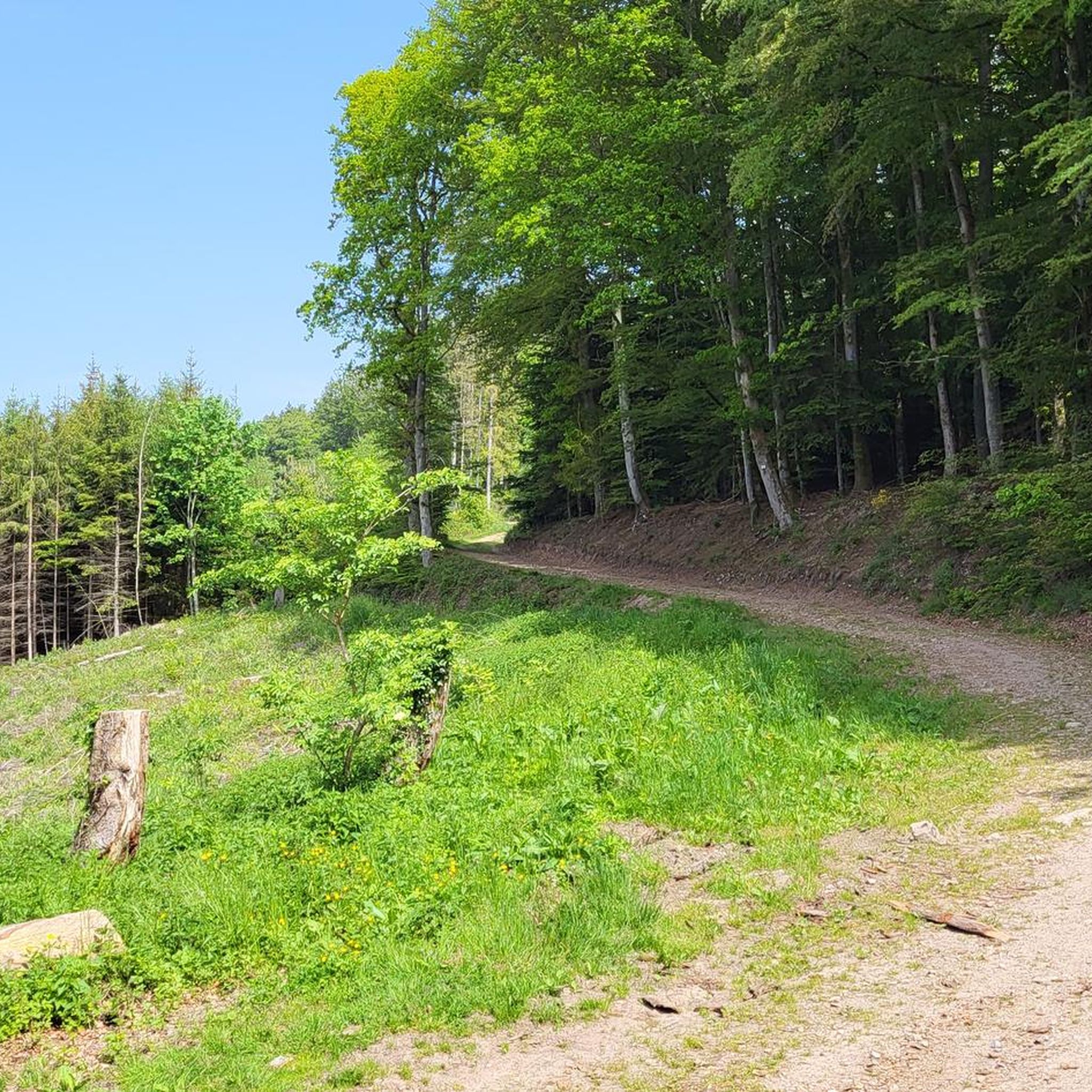
A long and beautiful forest road. However, it's bumpy in places on a road bike!
0
0

Beautiful climb and lovely view at the pass - Altitude 728m Restaurants (inns) at the pass
0
0

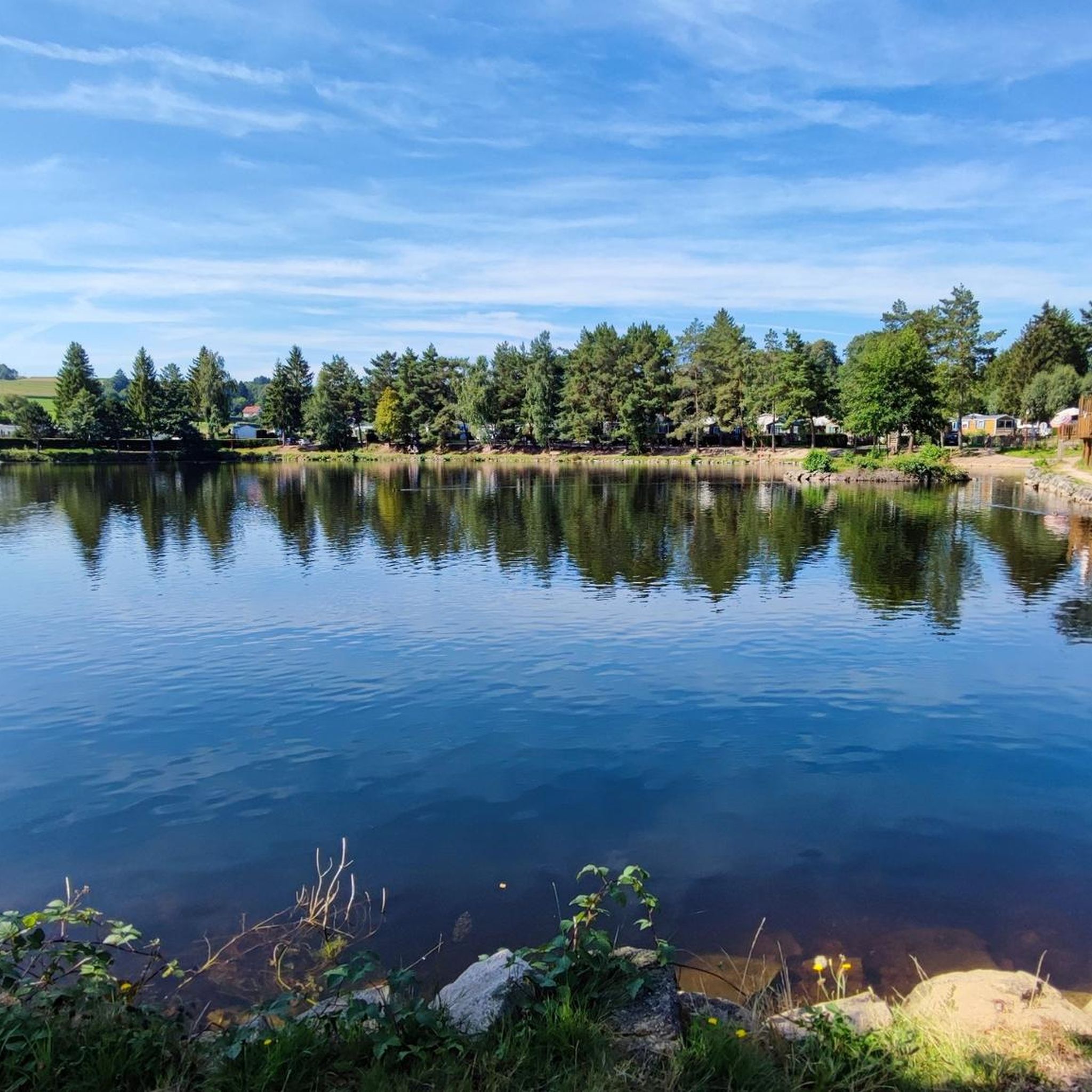
Lac de la Plaine is a picturesque lake in the Vosges, located near Celles-sur-Plaine, near the larger Lac de Pierre-Percée. The lake is an artificial water reservoir of about 0.5 million m³ and serves as a supply basin for the reservoir above.
1
0

As in Germany, most fountains are merely decorative and labeled "Water not suitable for drinking." It's therefore all the more pleasant to find a fountain here that even explicitly says "drinking water." One of the few fountains in the area has drinking water.
0
0

Frequently Asked Questions
How many road cycling routes are available around Mortagne?
There are over 180 road cycling routes available around Mortagne, catering to various skill levels. You'll find a diverse selection, from moderate rides to more challenging routes with significant elevation gains.
What is the typical terrain like for road cycling in the Mortagne region?
The Mortagne region offers varied terrain for road cycling. Depending on the specific 'Mortagne' location, you can expect rolling hills, picturesque river valleys like the Sèvre Nantaise, and quiet woodlands. Areas such as the Perche Regional Natural Park feature undulating landscapes and forests, while Mortagne-sur-Gironde offers routes through hilly vineyards and along the Gironde Estuary. Some routes may include unpaved sections, particularly in the Bocage Vendéen or Perche, but many are well-paved.
What are the difficulty levels of road cycling routes in Mortagne?
The routes around Mortagne offer a range of difficulty levels. There are approximately 30 easy routes, 117 moderate routes, and 40 difficult routes. Many routes feature significant elevation gains, especially in areas like the Perche Regional Natural Park or along the Sèvre Nantaise Valley, requiring good to very good fitness.
Are there any circular road cycling routes in Mortagne?
Yes, many road cycling routes around Mortagne are designed as loops. For example, the Rabodeau Valley – Prayé Forest Road loop from St-Michel-sur-Meurthe is a popular option, as is the Fave Valley – Saint-Dié Cathedral loop from St-Michel-sur-Meurthe. These circular routes allow you to start and finish at the same point, making logistics easier.
What natural features or landmarks can I expect to see along the road cycling routes?
Road cycling routes around Mortagne offer a wealth of natural features and historical landmarks. You might encounter picturesque river valleys, old mills, and historic sites. Notable attractions include the La Bure Celtic Camp, the majestic Saint-Dié Cathedral, and the scenic Molières Waterfall. The region also boasts viewpoints like La Roche Saint-Martin and View of Saint-Dié, and unique rock formations such as Roche d'Anozel and Pointhaie Rocks.
What do other cyclists say about road cycling in Mortagne?
The road cycling routes around Mortagne are highly rated by the komoot community, with an average score of 4.3 stars from over 270 reviews. Cyclists often praise the diverse terrain, from rolling hills to serene river courses, and the integration of charming villages and natural parks into the routes. Many appreciate the mix of challenging climbs and gentler stretches, as well as the scenic beauty of areas like the Sèvre Nantaise Valley and the Perche Regional Natural Park.
Are there family-friendly road cycling options in Mortagne?
While many routes in Mortagne feature elevation gains, some areas offer more gentle, family-friendly sections. For instance, parts of the Vélidéale route near Mortagne-sur-Sèvre or sections of La Véloscénie near Mortagne-au-Perche can be suitable for families, especially those with older children or using e-bikes. Always check the route's difficulty and elevation profile before heading out with family.
What are the best times of year for road cycling in Mortagne?
Spring and autumn generally offer the most pleasant conditions for road cycling in Mortagne, with milder temperatures and beautiful scenery. Summer can also be enjoyable, especially in forested areas that provide shade, but be prepared for warmer weather. Winter cycling is possible, but some routes might be less accessible due to weather conditions, and daylight hours are shorter.
Is parking available near the road cycling trailheads?
Yes, parking is generally available in or near the towns and villages that serve as starting points for road cycling routes around Mortagne. For example, in Mortagne-au-Perche, parking can be found within the town. It's advisable to check local parking regulations and availability, especially during peak seasons or market days.
Are there any routes that pass through charming towns or villages?
Absolutely. Many road cycling routes in the Mortagne region are designed to pass through charming towns and villages. Mortagne-sur-Sèvre and Mortagne-au-Perche are both designated 'Petite Cité de Caractère,' offering historic streets and local markets. Routes in these areas often connect to other picturesque villages like Mallièvre, a former weavers' village, providing opportunities to explore local heritage and enjoy a break.
What are some longer, more challenging road cycling routes for experienced riders?
For experienced riders seeking a challenge, routes with significant elevation gains are plentiful. The Rabodeau Valley – Prayé Forest Road loop from St-Michel-sur-Meurthe, at 78.4 km with over 760m of elevation, is a demanding option. Similarly, the 'Poupet Valley – Saint Laurent sur Sèvre loop' near Mortagne-sur-Sèvre offers 570m of elevation over 38.2km, requiring good to very good fitness. The 'Forests and abbeys' route near Mortagne-au-Perche is another challenging option, covering 72.6km with 790m of elevation.
Can I access road cycling routes using public transport in Mortagne?
Public transport options vary by specific 'Mortagne' location. Mortagne-au-Perche, for instance, is a stage on La Véloscénie, a major cycling route, which often implies some level of public transport accessibility for cyclists, though direct train services might be limited. For Mortagne-sur-Sèvre, routes like the Vendée Vélo Tour connect to various points. It's best to check regional bus or train services for specific bike carriage policies and schedules.
Most popular attractions around Mortagne

Get inspired with the komoot mobile app


Explore more
Browse the best Road cycling routes in other regions.
