The best walks and hikes around Darois
4.5
(1057)
7,358
hikers
349
hikes
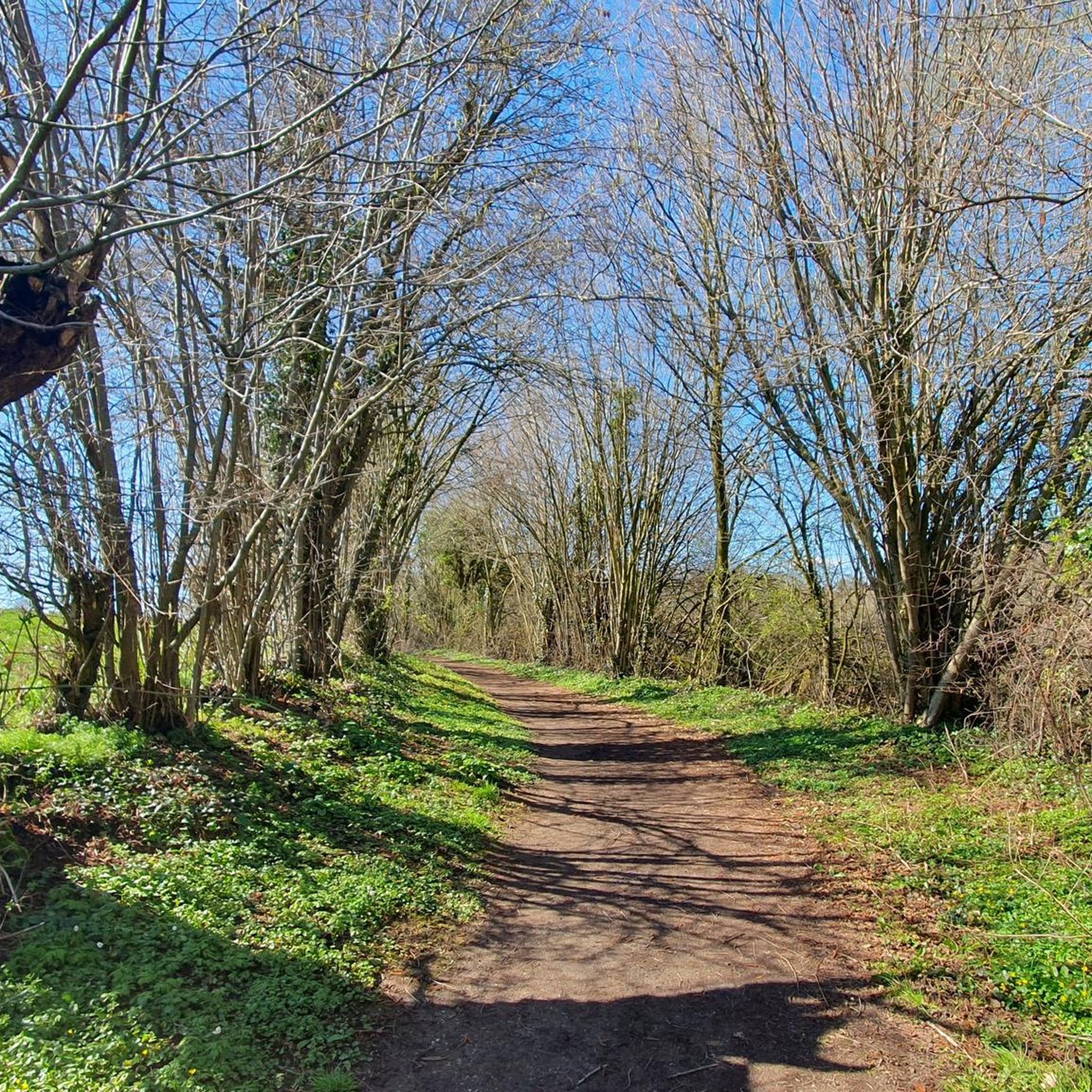
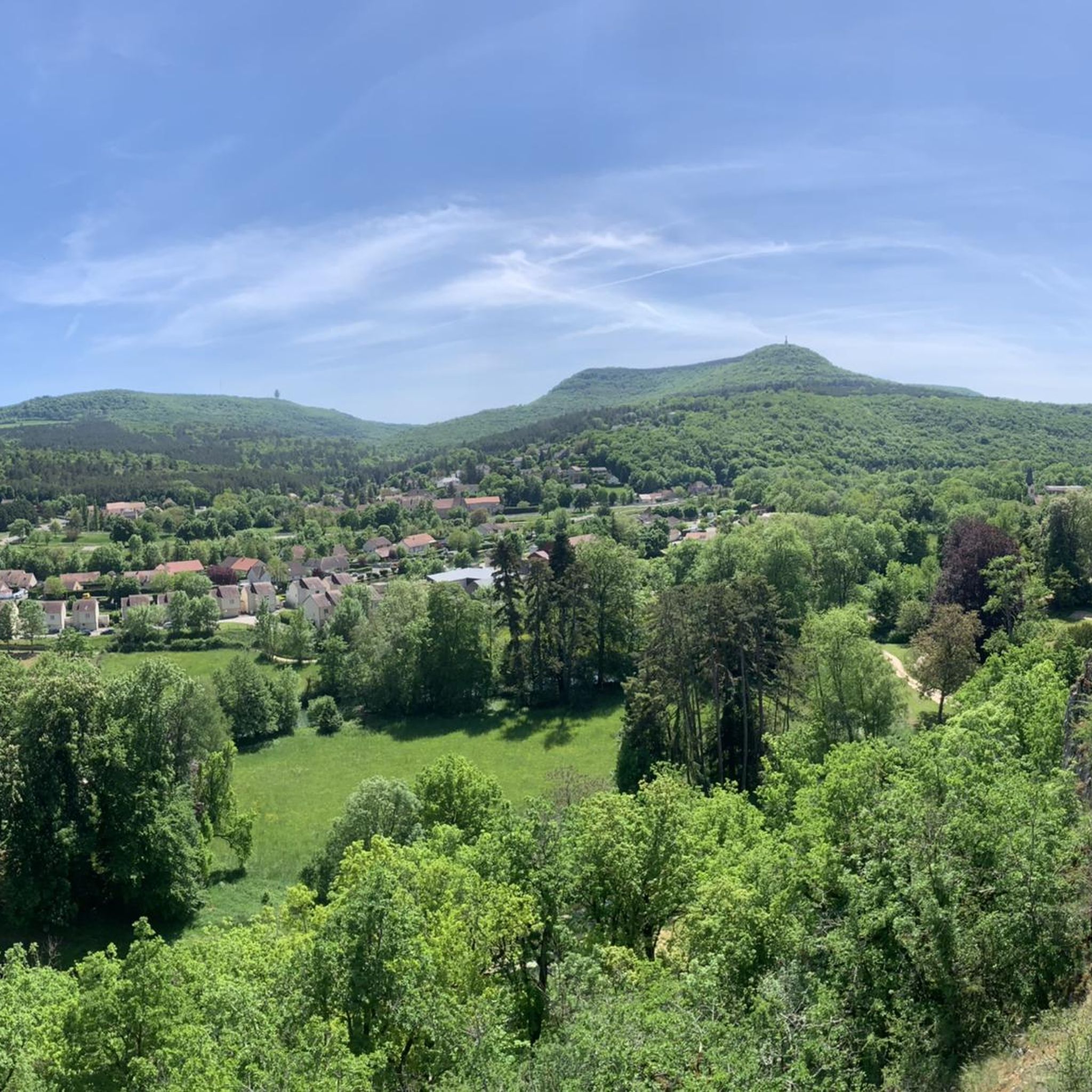
Hiking around Darois offers access to a landscape characterized by dense woodlands, rolling hills, and notable geological features such as caves and chasms. The region's terrain includes varied elevations, with routes often following forest paths and valley floors. Water features like natural springs are also present along some trails. This area provides a range of hiking experiences within the Bourgogne-Franche-Comté region.
Best hiking trails around Darois
- The most popular hiking route is Cèlerons Caves and Creux Perçé Chasm Loop,…
Last updated: August 29, 2026
4.0
(18)
43
hikers
8.47km
02:38
290m
290m
Moderate hike. Good fitness required. Easily-accessible paths. Suitable for all skill levels.
4.0
(1)
13
hikers
7.83km
02:22
250m
260m
Moderate hike. Good fitness required. Easily-accessible paths. Suitable for all skill levels.

Sign up for free
4.0
(1)
16
hikers
8.01km
02:22
220m
220m
Moderate hike. Good fitness required. Easily-accessible paths. Suitable for all skill levels.
4.0
(2)
11
hikers
5.39km
01:34
140m
140m
Easy hike. Great for any fitness level. Easily-accessible paths. Suitable for all skill levels.
4.0
(2)
11
hikers
10.3km
03:07
320m
320m
Moderate hike. Good fitness required. Easily-accessible paths. Suitable for all skill levels.
Get access to more routes and recommendations from other explorers.
Sign up for free
Already have an account?
Our route recommendations are based on thousands of hikes, rides, and runs completed by other people on komoot.
Start today with a free account
Your next adventure awaits.
Login or Signup
Tips from the Community

Nice fountain that has been renovated. The animals love it!!
0
0

Be careful when going down the 10 meters of the small path to see the chasm. Even in dry weather it is slippery and there is nothing to prevent you from falling into the chasm. So be careful.
1
0

A former charcoal-fired blast furnace, it stands out for its original design. The construction project was signed by King Louis-Philippe in 1936, and the facility was completed in 1938. The annual production capacity was between 300 and 1,000 tons of cast iron. The furnace was finally shut down in 1872, and after several attempts at conversion, the smelter closed in 1956. Recently, there were several attempts to raise sufficient funds to carry out necessary maintenance work on the dilapidated buildings.
1
0
Of the three caves, two are relatively easy to access. One can even be walked through—a beautiful place.
3
0
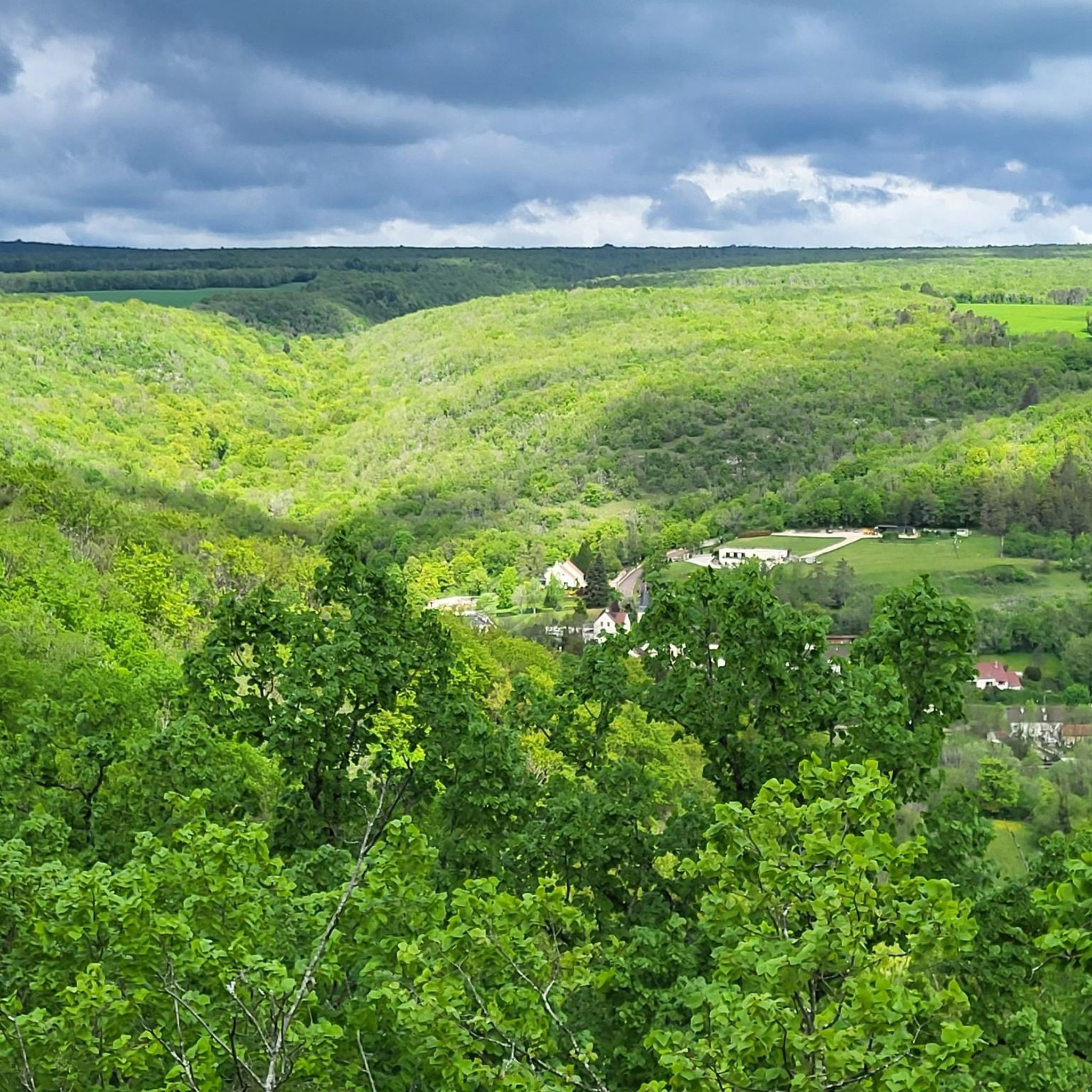
The Celerons viewpoint is accessible via a narrow path that branches off from the hiking trail. Caution! The path runs right along the edge of the cliffs. However, the view over the Combe des Vaux des Roches gorge and its foothills is fantastic and worth the short detour.
3
0

Walking up to this point, the view opens up to a sea of greenery and cliffs.
6
2
There are three caves there. One of them would have been used by smugglers who stored salt there. Is the name related to this activity?
3
0

Course with very beautiful points of view, all mixed with many singles as we like them.
0
0
Frequently Asked Questions
How many hiking trails are available around Darois?
There are over 340 hiking routes around Darois, offering a wide variety of experiences. These include 126 easy trails, 184 moderate paths, and 38 more challenging options.
Are there easy or family-friendly hiking trails in Darois?
Yes, Darois offers many easy and family-friendly options. For instance, the Fontaine de la Trouvée loop from Darois is an easy 3.4-mile (5.4 km) trail that takes about 1 hour 34 minutes, leading through pleasant forested paths to a natural spring.
What kind of natural attractions can I expect to see on hikes around Darois?
Hiking around Darois often leads you through dense woodlands, rolling hills, and notable geological features. You can explore fascinating caves like the Célerons Caves and the Caves of Parc de Jouvence, or discover chasms such as the Gouffre du creux Percé. Some trails also feature natural springs and offer views of nearby lakes like Lake Kir.
Are there circular hiking routes in the Darois area?
Yes, many routes around Darois are circular, allowing you to start and end at the same point. A popular option is the Cèlerons Caves and Creux Perçé Chasm Loop, a moderate 6.5-mile (10.5 km) trail exploring geological formations.
Are dogs allowed on hiking trails in Darois?
Generally, dogs are welcome on hiking trails in the Darois region, especially in natural areas and woodlands. It's always recommended to keep them on a leash, particularly in areas with wildlife or near livestock, and to check for specific local regulations on individual trails or nature reserves.
What is the best season for hiking around Darois?
The best seasons for hiking around Darois are typically spring and autumn, when the weather is mild and the natural scenery is particularly vibrant with blooming flowers or colorful foliage. Summer also offers pleasant conditions, especially in the shaded woodlands, while winter can provide unique, quiet experiences, though some paths might be muddy or icy.
Are there hiking trails with good viewpoints in Darois?
Yes, the rolling hills around Darois offer several trails with rewarding viewpoints. The Celerons viewpoint – Célerons Caves loop from Val-Suzon is a moderate 5.3-mile (8.5 km) path specifically known for its panoramic views over the Val-Suzon area and cave formations.
What do other hikers say about the trails in Darois?
The hiking routes in Darois are highly regarded by the komoot community, with an average score of 4.5 stars from over 870 reviews. Hikers frequently praise the region's diverse landscapes, well-maintained paths, and the opportunity to explore unique geological features like caves and chasms.
Is parking available at trailheads in Darois?
Parking is generally available at or near the starting points of many popular hiking trails around Darois, especially in villages like Darois and Val-Suzon. It's advisable to check specific route descriptions for detailed parking information, but you'll often find designated spots for hikers.
Can I access hiking trails in Darois using public transport?
While Darois itself is a smaller commune, some trailheads in the broader region of Bourgogne-Franche-Comté may be accessible via local bus services from larger towns like Dijon. However, for many of the more secluded trails directly around Darois, personal transport is often the most convenient option.
Are there any less crowded hiking options around Darois?
To find less crowded trails, consider exploring some of the 126 easy routes or those that are not explicitly listed as 'most popular'. Early mornings or weekdays are also good times to enjoy the tranquility of the dense woodlands and rolling hills with fewer people.
Are there cafes or places to eat near the hiking trails in Darois?
While Darois itself is a small village, you may find small local establishments or cafes in nearby larger villages or towns within the Bourgogne-Franche-Comté region. It's a good idea to pack snacks and water, especially for longer hikes, as trailside amenities are not always guaranteed.
Most popular attractions around Darois

Get inspired with the komoot mobile app


Explore more
Browse the best Hikes in other regions.
