The best walks and hikes around Saint-Benoît-La-Chipotte
4.6
(244)
1,317
hikers
115
hikes
Hiking around Saint-Benoît-La-Chipotte offers a network of trails through varied terrain. The region is characterized by woodlands and features moderate elevation changes, providing diverse experiences for hikers. These hiking trails in Saint-Benoît-La-Chipotte include paths suitable for different skill levels, from easy walks to more challenging routes.
Best hiking trails around Saint-Benoît-La-Chipotte
- The most popular hiking route is View from the Roches de Faucompierre – Cup-marked Rock loop from Raon-l'Étape, a 4.6 miles (7.4 km) trail that takes 2 hours…
Last updated: July 2, 2026
4.6
(23)
63
hikers
Moderate hike. Good fitness required. Easily-accessible paths. Suitable for all skill levels.
4.5
(4)
29
hikers
7.89km
02:16
190m
190m
Moderate hike. Good fitness required. Easily-accessible paths. Suitable for all skill levels.

Sign up for free
5.0
(2)
29
hikers
Moderate hike. Good fitness required. Easily-accessible paths. Suitable for all skill levels.
4.4
(5)
11
hikers
5.08km
01:26
110m
110m
Easy hike. Great for any fitness level. Easily-accessible paths. Suitable for all skill levels.
4.8
(5)
18
hikers
Moderate hike. Good fitness required. Easily-accessible paths. Suitable for all skill levels.
Get access to more routes and recommendations from other explorers.
Sign up for free
Already have an account?
Our route recommendations are based on thousands of hikes, rides, and runs completed by other people on komoot.
Start today with a free account
Your next adventure awaits.
Login or Signup



Tips from the Community

Beautiful chapel with a strong history, as this site was once a cemetery. Following a plague epidemic in 1631. The chapel was built in the 19th century and recently renovated.
0
0
Very beautiful rock and viewpoint.
0
0

La Pierre d'Appel is located in the Côte de Repy, above Etival Clairefontaine and offers a view of both the Meurthe valley up to St Dié and the Rabodeau valley.
0
0

Tête de Répy is one of the many wooded peaks in the Madeleine massif. Well known to hikers, it offers beautiful views over the Meurthe valley and the Vosges mountains.
0
0
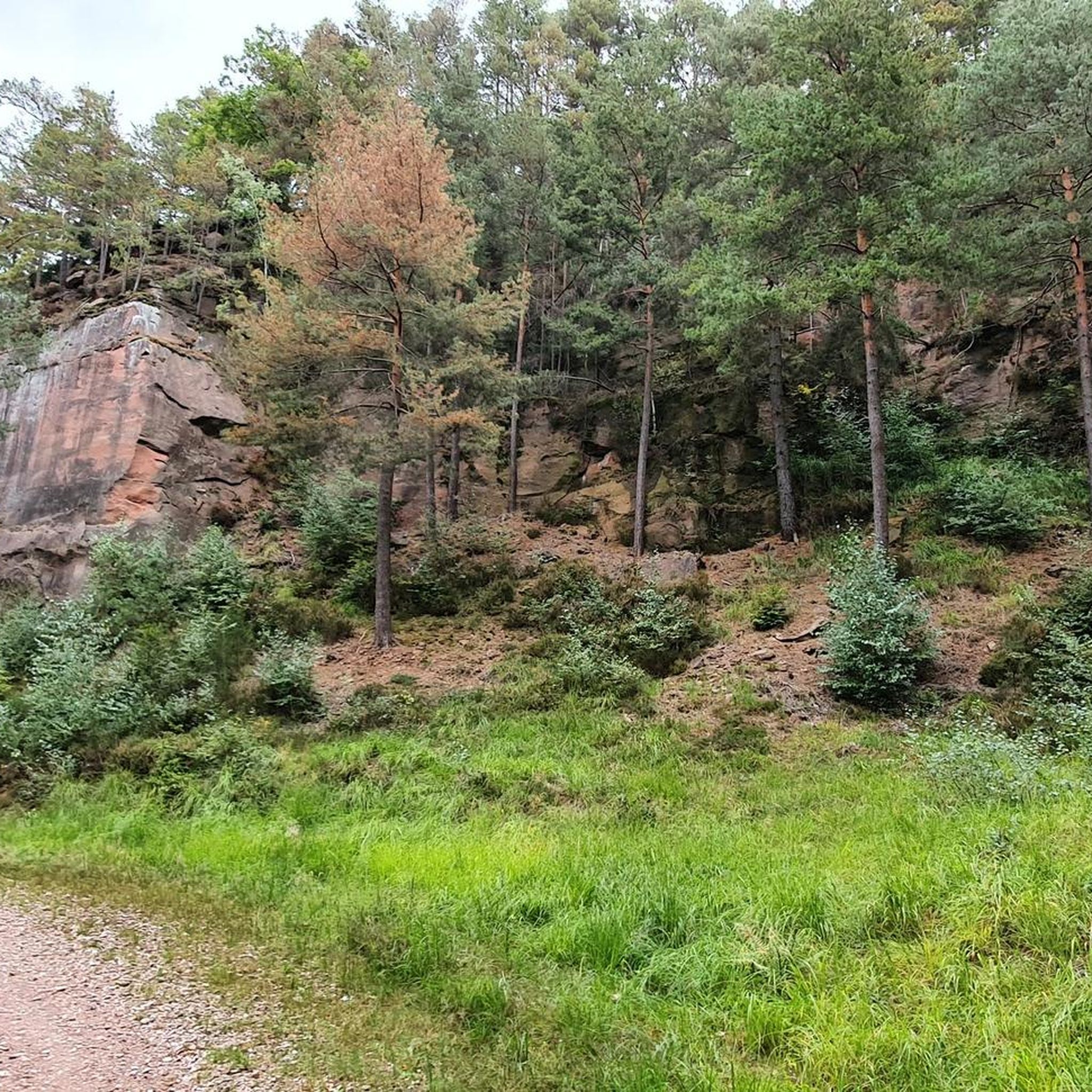
The Pierre d’Appel is a rock located on the Madeleine massif, above Saint-Dié-des-Vosges. It was once used as a gathering place and signal point, hence its name. This promontory offers a beautiful view over the Meurthe valley while being situated in a typical Vosges forest environment, peaceful and steeped in local traditions.
0
0


Compared to the rest of the route, this section can contain narrow and steep sections with uneven ground.
0
0
Frequently Asked Questions
How many hiking trails are there in Saint-Benoît-La-Chipotte?
The region of Saint-Benoît-La-Chipotte offers a wide network of trails, with over 100 hiking routes available for exploration. These range from easy walks to more challenging treks through varied forest landscapes.
What kind of terrain can I expect on hikes in Saint-Benoît-La-Chipotte?
Hikes in Saint-Benoît-La-Chipotte primarily traverse dense woodlands and feature moderate hills. You can expect scenic viewpoints, especially from prominent rock formations like the Roches de Faucompierre, and paths that wind through natural forest environments.
Are there any easy hikes suitable for beginners or those looking for a relaxed walk?
Yes, Saint-Benoît-La-Chipotte has plenty of options for easy hikes. There are over 40 routes classified as easy. An example is the Fairies' Rock (viewpoint) loop from Housseras, which is just over 5 km long and offers gentle ascents.
Are the hiking trails in Saint-Benoît-La-Chipotte suitable for families with children?
Many trails in Saint-Benoît-La-Chipotte are suitable for families, especially the easier routes. The forested paths provide natural shade, and the moderate distances make them enjoyable for children. Consider routes with interesting viewpoints or natural features to keep younger hikers engaged.
Can I bring my dog on the trails in Saint-Benoît-La-Chipotte?
Generally, dogs are welcome on the hiking trails in Saint-Benoît-La-Chipotte, especially in the natural forest areas. However, it is always recommended to keep your dog on a leash to protect local wildlife and ensure the comfort of other hikers.
Are there many circular walks available in Saint-Benoît-La-Chipotte?
Yes, many of the hiking routes in Saint-Benoît-La-Chipotte are designed as circular walks, allowing you to start and finish at the same point. Examples include the View from the Roches de Faucompierre – Cup-marked Rock loop from Raon-l'Étape and the Sloping rocks – The Calling Stone loop from Étival-Clairefontaine.
What can I see along the hiking trails in terms of natural landmarks?
The region is known for its interesting rock formations and viewpoints. Along the trails, you might encounter features like the The Calling Stone or enjoy views from the Roches de Faucompierre. The dense forests themselves are a significant natural attraction.
Is parking available at the trailheads in Saint-Benoît-La-Chipotte?
For most popular hiking routes and starting points in Saint-Benoît-La-Chipotte, you will typically find small parking areas or roadside parking available. It's advisable to check the specific route details on komoot for information on designated parking spots.
What is the best time of year to go hiking in Saint-Benoît-La-Chipotte?
The best time for hiking in Saint-Benoît-La-Chipotte is generally from spring to autumn (April to October). During these months, the weather is milder, the forests are vibrant, and the trails are usually in good condition. Autumn offers particularly beautiful foliage.
What do other hikers enjoy the most about hiking in Saint-Benoît-La-Chipotte?
The area is highly rated by the komoot community, with an average score of 4.6 stars. Reviewers often praise the quiet woodlands, the well-marked paths, and the scenic viewpoints that offer rewarding vistas over the surrounding landscape.
Are there any longer or more challenging hikes for experienced hikers?
While the majority of trails are moderate, there are a few more challenging options for experienced hikers. These routes typically feature greater elevation changes and longer distances. An example is the The Calling Stone – View from the Roches de Faucompierre loop from Beaulieu, which covers nearly 13 km.
Most popular routes around Saint-Benoît-La-Chipotte
Most popular attractions around Saint-Benoît-La-Chipotte

Get inspired with the komoot mobile app


Explore more
Browse the best Hikes in other regions.
