The best walks and hikes around Injoux-Génissiat
4.4
(455)
3,721
hikers
153
hikes
Hiking around Injoux-Génissiat offers varied terrain within the Jura mountain range, characterized by river valleys, plateaus, and forested combes. The region is situated along the Rhône River, providing opportunities to explore its banks and view the Génissiat Dam. Elevated points like Crêt du Nu and Crêt de Beauregard offer panoramic views, including distant glimpses of the Alps and Mont Blanc. The landscape features limestone formations, including the deep gorges of the Pertes de la Valserine.
Best hiking trails around Injoux-Génissiat
…Last updated: July 11, 2026
4.5
(10)
155
hikers
10.9km
03:02
200m
200m
Moderate hike. Good fitness required. Easily-accessible paths. Suitable for all skill levels.
4.6
(8)
60
hikers
11.3km
03:14
270m
270m
Moderate hike. Good fitness required. Easily-accessible paths. Suitable for all skill levels.

Sign up for free
4.7
(3)
55
hikers
11.7km
03:17
250m
250m
Moderate hike. Good fitness required. Easily-accessible paths. Suitable for all skill levels.
5.0
(3)
30
hikers
6.83km
02:00
200m
200m
Easy hike. Great for any fitness level. Easily-accessible paths. Suitable for all skill levels.
5.0
(3)
20
hikers
5.36km
01:32
130m
130m
Easy hike. Great for any fitness level. Easily-accessible paths. Suitable for all skill levels.
Get access to more routes and recommendations from other explorers.
Sign up for free
Already have an account?
Our route recommendations are based on thousands of hikes, rides, and runs completed by other people on komoot.
Start today with a free account
Your next adventure awaits.
Login or Signup

Tips from the Community

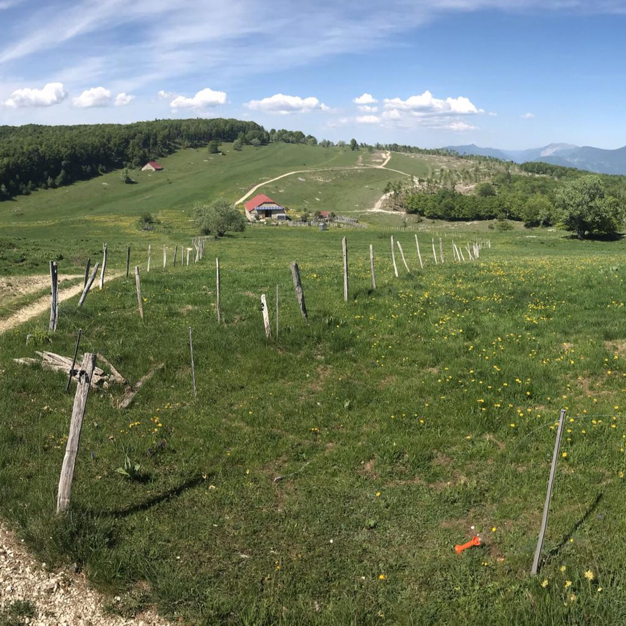
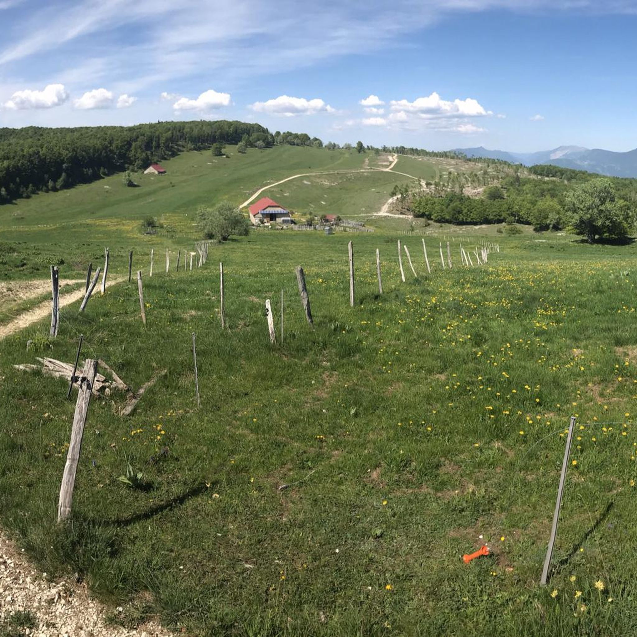
Very beautiful view even when Mont Blanc is shrouded in clouds, very peaceful
0
0

The Retord farm, located on the plateau of the same name, allows you to discover local products and offers a pleasant stop in a relaxing natural setting.
0
0


This human-sized resort offers many activities available all year round. It is the starting point for VTT, Gravel and hiking circuits. It also has a biathlon stadium usable in summer and winter, unique in the Ain. Ideal for exploring the Jura massif.
0
0

Board and lodging all year round in this traditional farm, in the middle of nowhere, a must-stop for a good mountain meal!
0
0
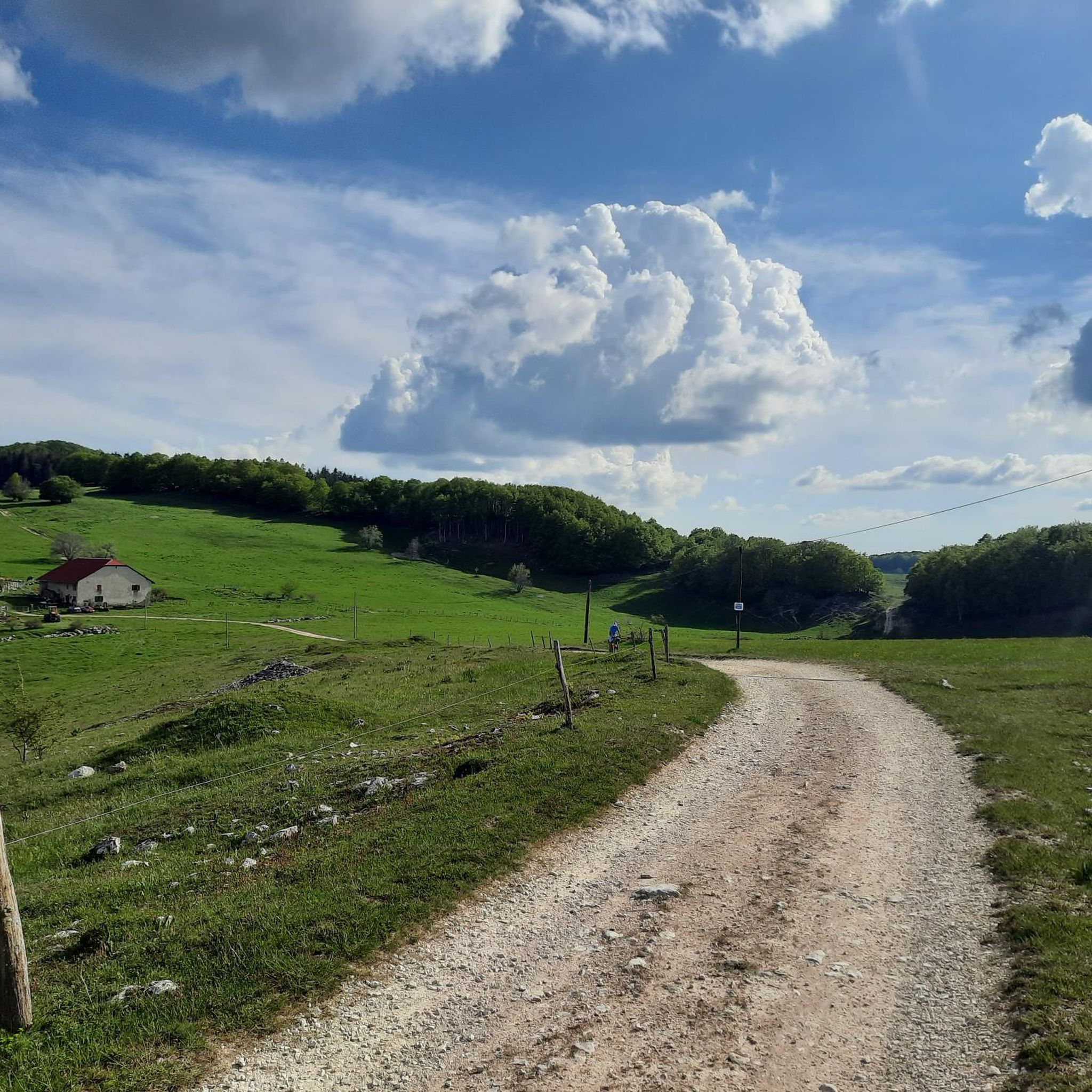
About 10km of path between Plans d'Hotones and the Col de Cuvéry, along the GTJ VTT, it goes on gravel and it's beautiful. Please respect the places!
0
0
Frequently Asked Questions
How many hiking trails are available around Injoux-Génissiat?
There are over 150 hiking routes in the Injoux-Génissiat region, catering to various skill levels. This includes approximately 47 easy trails, 94 moderate routes, and 17 more challenging treks.
What kind of terrain can I expect on hikes in Injoux-Génissiat?
The terrain around Injoux-Génissiat is diverse, featuring mountainous areas, river valleys along the Rhône, and expansive plateaus like the Plateau de Retord. You'll encounter forested combes, limestone formations, and elevated points offering panoramic views.
Are there any circular walks in Injoux-Génissiat?
Yes, many routes in the region are circular. For example, you can enjoy the Beauregard Crest – Plans d'Hotonnes Station loop from Hotonnes, which offers scenic views and is a moderate 10.4 km path.
What natural features can I see while hiking in Injoux-Génissiat?
Hikers can explore the dramatic gorges and potholes of the Pertes de la Valserine, witness the impressive Génissiat Dam on the Rhône, and discover the vast open spaces of the Plateau de Retord. Elevated points like Crêt du Nu and Crêt de Beauregard provide stunning panoramic vistas.
Are there any interesting landmarks or attractions along the hiking routes?
Yes, several routes pass by notable landmarks. The Col de Richemond (1060 m) – L'arche de l'Écorche-Boeuf loop from Col de Richemond takes you past the unique geological formation of L'arche de l'Écorche-Bœuf. You can also find highlights like the Old bridge of Seyssel nearby.
What do other hikers enjoy most about the trails in Injoux-Génissiat?
The hiking trails in Injoux-Génissiat are highly regarded by the komoot community, with an average rating of 4.4 stars from over 400 reviews. Hikers frequently praise the varied terrain, the stunning panoramic views of the Alps and Mont Blanc, and the well-maintained paths that cater to different fitness levels.
Are there any trails suitable for families with children?
Yes, the region offers a good selection of easy trails that are suitable for families. These routes typically have less elevation gain and shorter distances, allowing for a pleasant outdoor experience for all ages. You can filter for 'easy' trails on komoot to find suitable options.
Can I bring my dog on the hiking trails in Injoux-Génissiat?
Many trails in Injoux-Génissiat are dog-friendly, allowing you to enjoy the natural beauty with your canine companion. However, it's always advisable to keep dogs on a leash, especially in protected areas like the Réserve Naturelle Nationale de la Haute Chaîne du Jura, and to check specific route regulations beforehand.
Where can I find parking for hiking trails in Injoux-Génissiat?
Many popular trailheads, such as those around Chapelle de Retord or Col de Richemond, offer designated parking areas. It's recommended to check the starting point details of your chosen route on komoot, as specific parking information is often provided there.
What are the best viewpoints in the Injoux-Génissiat area?
For exceptional panoramic views, head to elevated points like Crêt du Nu and Crêt de Beauregard. These spots offer distant glimpses of Mont Blanc and the broader Alpine range. The View of Mont Blanc – Beauregard Crest loop from Le Tumet is a great option to experience these vistas.
Is public transport available to reach hiking trailheads?
While some larger towns in the region may have public transport links, many trailheads in the more rural parts of Injoux-Génissiat, especially on the plateaus or in mountain passes, are best accessed by car. It's advisable to research specific public transport options for your chosen starting point.
What is the best time of year to go hiking in Injoux-Génissiat?
The spring, summer, and autumn months generally offer the best conditions for hiking, with pleasant temperatures and clear paths. In winter, the Plateau de Retord transforms into a popular destination for snowshoeing, offering a different kind of outdoor experience.
Most popular routes around Injoux-Génissiat
Most popular attractions around Injoux-Génissiat

Get inspired with the komoot mobile app


Explore more
Browse the best Hikes in other regions.
