The best walks and hikes around Lantenay
4.3
(243)
1,462
hikers
77
hikes
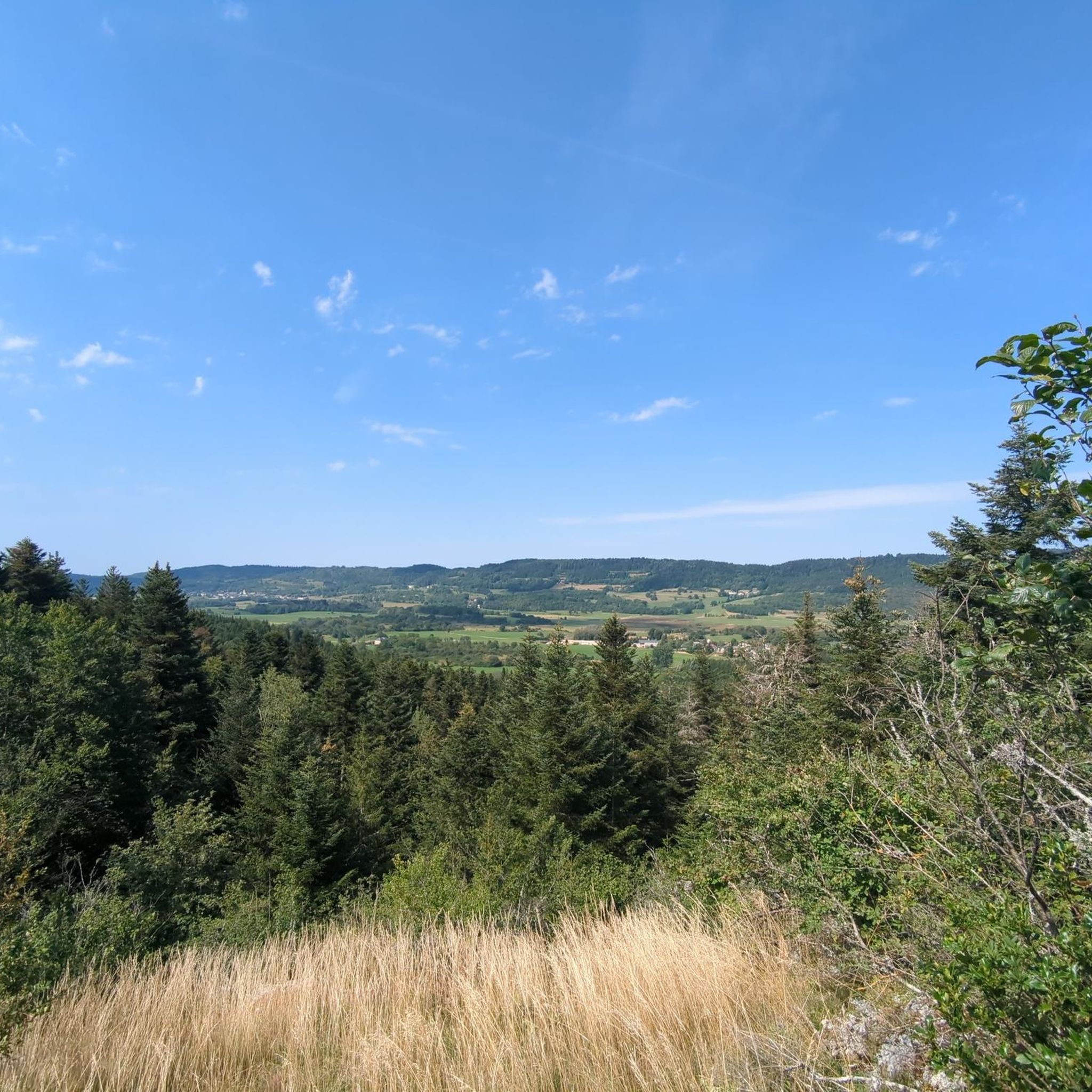
Hiking around Lantenay offers diverse landscapes characterized by rocky terrains, dense forests, and distinctive valleys known as "combes." The region features prominent rocky outcrops and lush woodlands, providing varied environments for outdoor activities. Trails often traverse these natural features, including unique valleys and forested areas. The terrain ranges from gentle paths to routes with significant elevation changes, catering to different hiking preferences.
Best hiking trails around Lantenay
- The most popular hiking route is View over Cerdon loop from Cerdon,…
Last updated: June 27, 2026
4.5
(8)
76
hikers
4.90km
01:25
130m
130m
Easy hike. Great for any fitness level. Easily-accessible paths. Suitable for all skill levels.
4.6
(5)
13
hikers
7.27km
02:11
230m
230m
Moderate hike. Good fitness required. Easily-accessible paths. Suitable for all skill levels.

Sign up for free
5.0
(1)
13
hikers
12.1km
03:22
220m
220m
Moderate hike. Good fitness required. Easily-accessible paths. Suitable for all skill levels.
4.0
(1)
7
hikers
9.18km
02:39
200m
200m
Moderate hike. Good fitness required. Easily-accessible paths. Suitable for all skill levels.
5.0
(1)
3
hikers
8.18km
02:26
250m
250m
Moderate hike. Good fitness required. Easily-accessible paths. Suitable for all skill levels.
Get access to more routes and recommendations from other explorers.
Sign up for free
Already have an account?
Our route recommendations are based on thousands of hikes, rides, and runs completed by other people on komoot.
Start today with a free account
Your next adventure awaits.
Login or Signup


Tips from the Community

Magnificent brown ponds, calm and relaxing, a must-see stop!
0
0


Nice little town with a beautiful church, the town hall is also beautiful.
2
0

Having passed there many times, especially by bike, I did not know the history of the brown ponds. Thank you for these explanations !
1
0

Brénod is located 850 meters above sea level, in the upper Bugey, south of the Jura massif. The town has a historical heritage, as well as a unique and completely preserved natural setting for peaceful, outdoor holidays.
1
0
The Marron ponds have been labeled “Sensitive Natural Spaces” since 2015. They take their name from a family from Brénod. They were created around 1120 and once served as a water and fishing reserve for the monks of Meyriat Abbey.
1
0
Frequently Asked Questions
How many hiking trails are available in Lantenay?
Lantenay offers a wide selection of hiking opportunities, with over 70 trails recorded on komoot. These routes cater to various skill levels, including 17 easy, 45 moderate, and 14 difficult options.
What kind of terrain can I expect on hikes around Lantenay?
The hiking trails in Lantenay feature a diverse landscape characterized by rocky terrains, dense forests, and distinctive valleys known as "combes." You'll encounter prominent rocky outcrops like La Roche Virante and Roche d'Ancey, as well as unique natural features such as the "Combe aux Mammouths" and the Combe d'Arvaux, which offers panoramic views over the Ouche valley. Many trails provide good shade, making for pleasant hiking experiences.
Are there any challenging hikes in the Lantenay area?
Yes, Lantenay offers 14 difficult hiking routes for those seeking a challenge. These trails often involve significant elevation changes and can extend for several hours. An example of a more demanding hike is the "Roche d'Ancey et Roche Aigüe" loop, which is approximately 9.4 miles long and can take around 4 hours 37 minutes to complete.
Can I find family-friendly hiking options in Lantenay?
Lantenay's hiking network includes options suitable for all skill levels, from easy strolls to more challenging routes. While specific family-friendly routes are not detailed, the presence of 17 easy trails suggests there are plenty of less strenuous options that could be suitable for families. These often traverse forests and less rugged terrain.
Are dogs allowed on the hiking trails in Lantenay?
While specific regulations for dogs on Lantenay's trails are not provided, generally, dogs are welcome on most hiking paths in France, especially if kept on a leash. Given the region's natural forests and open spaces, it's a suitable area for hiking with your canine companion. Always ensure your dog is under control and respect local signage.
What natural features or landmarks can I see while hiking in Lantenay?
Hiking in Lantenay allows you to explore a variety of natural and historic landmarks. You can encounter impressive rocky formations such as La Roche Virante and Roche d'Ancey, and unique valleys like the "Combe aux Mammouths." Some routes also pass by historic sites like the Chapelle St. Louis or offer views of the Château de Lantenay and the Viaduc de Fain. For specific points of interest, consider exploring highlights like Rochette Pass or Belleroche Pass.
Are there any waterfalls to visit on hikes near Lantenay?
Yes, the region around Lantenay features natural attractions including waterfalls. You can find the Charabotte Waterfall among the nearby highlights, offering a scenic stop during your hike.
Are there circular hiking routes available in Lantenay?
Many of the hiking routes in Lantenay are designed as loops, allowing you to start and end at the same point. Examples include the View over Cerdon loop from Cerdon, the Brénod – Brown Ponds loop from Brénod, and the Brénod – Meyriat Heights loop from Brénod. These circular paths are convenient for exploration without needing to retrace your steps.
What is the best time of year to go hiking in Lantenay?
Lantenay offers good hiking conditions throughout much of the year. The dense forests provide ample shade, which is ideal for pleasant hiking experiences, especially during warmer months. The diverse terrain ensures that trails are accessible across different seasons, though specific seasonal advice for winter conditions would depend on local weather patterns.
How can I get to the trailheads, and is parking available?
While specific details on public transport access to individual trailheads in Lantenay are not extensively provided, it is common for hiking areas in France to have designated parking near popular starting points. For routes originating from villages like Cerdon or Brénod, you can typically find local parking facilities. It's advisable to check the specific route details on komoot for parking information or public transport options for each trail.
What do other hikers enjoy most about Lantenay?
The hiking experience in Lantenay is highly rated by the komoot community, with an average score of 4.4 stars from over 200 reviews. Hikers often praise the region's diverse landscapes, including its unique rocky formations, dense forests, and distinctive 'combes.' The variety of terrain and difficulty levels also contributes to its appeal, offering something for everyone.
Are there any easy hikes suitable for beginners in Lantenay?
Yes, Lantenay has 17 easy hiking routes, making it accessible for beginners or those looking for a more relaxed walk. These trails typically feature less elevation gain and cover shorter distances, allowing you to enjoy the natural beauty of the region without significant physical exertion. You can find options that traverse gentle forest paths and scenic valleys.
Most popular attractions around Lantenay

Get inspired with the komoot mobile app


Explore more
Browse the best Hikes in other regions.
