The best walks and hikes around Priay
4.5
(389)
2,415
hikers
203
hikes
Hiking around Priay offers diverse landscapes, situated between the plains and the foothills of the Ain Valley in the Auvergne-Rhône-Alpes region of France. The area features a mix of forests, riverbanks along the Ain, and wetlands. This varied terrain provides a range of natural features for outdoor exploration.
Best hiking trails around Priay
- The most popular hiking route is Lake Brotteaux loop from Priay, a 2.4 miles (3.8 km) trail that takes about 1 hour to complete. This easy route offers views of the Bugey plain, fields, and woods.
- Another top favourite among local hikers is Richemont Castle loop from Priay, a moderate 6.4 miles (10.2 km) path. This route winds through woods and clearings, passing by the historic Château de Richemont.
- Local hikers also love the Château de la Moutonnière loop from Villette-sur-Ain, a 7.8 miles (12.6 km) trail leading through natural spaces, often completed in about 3 hours 25 minutes.
- Hiking around Priay is defined by riverine paths along the Ain, extensive forests, and the diverse landscapes of the Bugey region. The network offers options for different ability levels, from easy family-friendly walks to more moderate routes.
- The routes in Priay are highly rated by the komoot community with an average score of 4.5 stars from over 300 reviews. More than 2000 hikers have used komoot to explore Priay's varied terrain.
Last updated: July 2, 2026
4.5
(2)
10
hikers
13.0km
03:27
130m
130m
Moderate hike. Good fitness required. Easily-accessible paths. Suitable for all skill levels.
3.7
(3)
18
hikers
12.6km
03:26
180m
180m
Moderate hike. Good fitness required. Easily-accessible paths. Suitable for all skill levels.

Sign up for free
5.0
(3)
17
hikers
3.81km
00:58
10m
10m
Easy hike. Great for any fitness level. Easily-accessible paths. Suitable for all skill levels.
5.0
(3)
10
hikers
10.2km
02:47
150m
150m
Moderate hike. Good fitness required. Easily-accessible paths. Suitable for all skill levels.
3.0
(1)
4
hikers
9.65km
02:27
20m
20m
Moderate hike. Good fitness required. Easily-accessible paths. Suitable for all skill levels.
Get access to more routes and recommendations from other explorers.
Sign up for free
Already have an account?
Our route recommendations are based on thousands of hikes, rides, and runs completed by other people on komoot.
Start today with a free account
Your next adventure awaits.
Login or Signup

Tips from the Community

Beautiful body of water, but the track along the west of the lake was flooded and therefore impassable in March 2026... impossible to go around. So be careful.
0
0

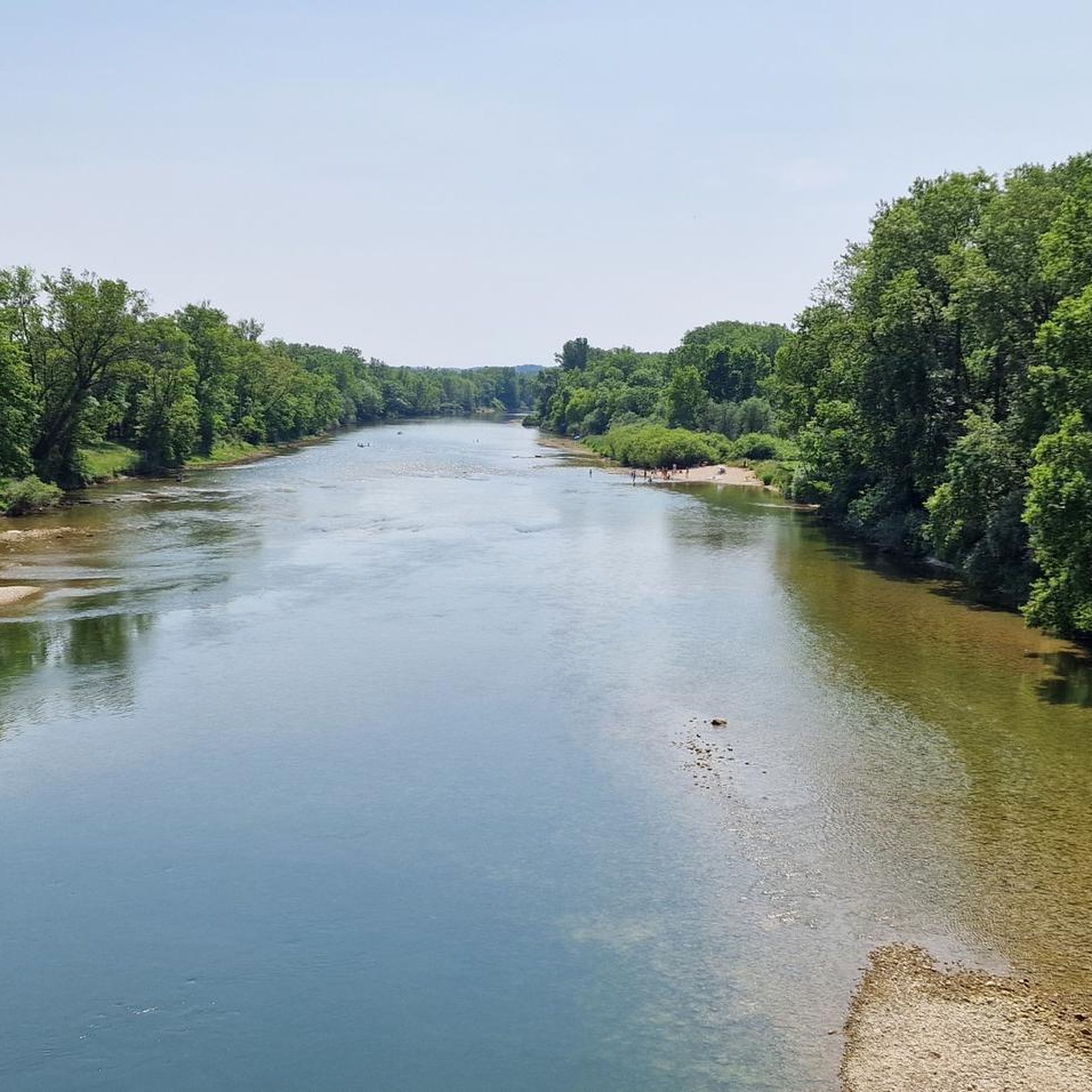
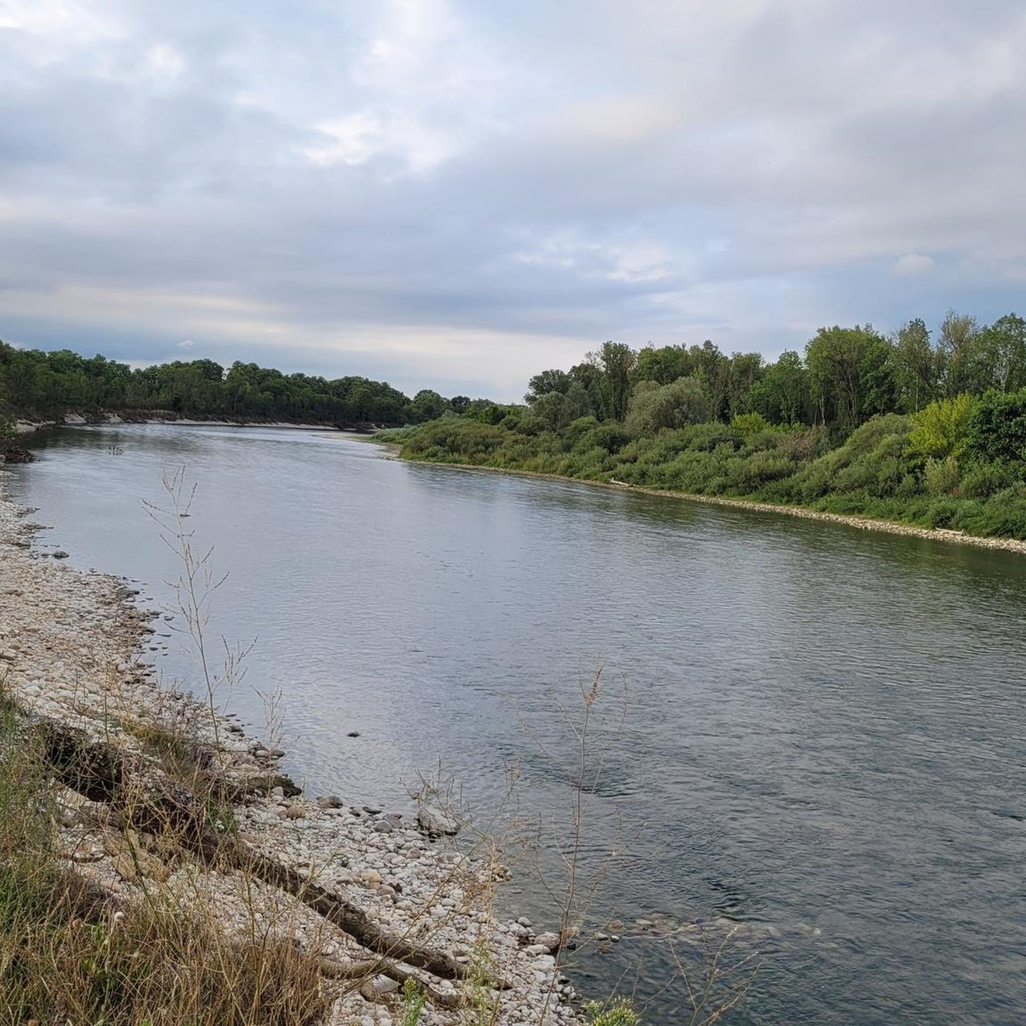
very pretty views all along the D'Ain river, the Brotteaux lake in Priay and the Longeville lake. Beautiful course, by magnificent shaded paths along the river. Very calm place.
0
0
Frequently Asked Questions
How many hiking trails are available around Priay?
There are over 180 hiking routes in the Priay area, catering to various skill levels. You'll find a diverse selection, from easy riverside strolls to more moderate paths through forests and clearings.
Are there easy hiking trails suitable for families in Priay?
Yes, Priay offers several easy trails perfect for families. The Lake Brotteaux loop from Priay is an accessible 3.8 km route with minimal elevation, offering pleasant views of the Bugey plain. The local 'Boucle des Carronnières' also provides an easy walk through natural spaces close to the village.
Can I find circular hiking routes in the Priay area?
Many of the trails around Priay are circular, allowing you to start and end at the same point. Popular options include the Lake Brotteaux loop from Priay and the more moderate Richemont Castle loop from Priay, which takes you past the historic Château de Richemont.
Are there any dog-friendly hiking trails in Priay?
Most hiking trails in the Priay region are dog-friendly, provided your dog is kept on a leash, especially in areas with wildlife or livestock. The 'Sentier des Rives de l'Ain' along the riverbanks is a pleasant option for walks with your canine companion, offering shaded areas and opportunities for observation.
What kind of natural features can I expect to see while hiking around Priay?
Priay's landscape is diverse, featuring riverbanks along the Ain, extensive forests, and wetlands. You'll encounter traditional Bugey prairies and bocages, and enjoy views of the Bugey plain. The 'Sentier des Rives de l'Ain' is particularly good for observing local wildlife along the river.
Are there any historical landmarks or attractions along the hiking routes?
Yes, several routes pass by interesting landmarks. The Richemont Castle loop from Priay takes you past the historic Château de Richemont. Further afield, you can explore sites like Allymes Castle or the Château Saint-Germain, which are accessible from various trails in the wider region.
What do other hikers enjoy most about the trails in Priay?
The trails in Priay are highly rated by the komoot community, with an average score of 4.5 stars. Hikers frequently praise the varied terrain, from peaceful riverine paths to tranquil forest walks, and the well-maintained routes that offer a blend of natural beauty and historical interest.
Are there options for longer or more challenging hikes near Priay?
While Priay itself offers moderate routes, its location within the broader Bugey region provides access to more challenging options. The Bugey is known for its steeper slopes and impressive natural sites like the Grand Colombier mountain, which offers breathtaking panoramic views and more demanding ascents.
Is public transport available to reach hiking trailheads in Priay?
Public transport options directly to specific trailheads within Priay can be limited. It's advisable to check local bus schedules for connections to Priay village, and then plan your hike from there. For broader regional access, consider using a car to reach more remote starting points.
Where can I find parking for hiking trails in Priay?
Parking is generally available in or near Priay village, often close to the starting points of popular trails. For specific routes, it's recommended to check the individual tour details on komoot, as many provide information on designated parking areas.
Are there any waterfalls in the Priay region?
While Priay itself is more characterized by riverbanks and forests, the wider Bugey region, where Priay is situated, is known for impressive natural sites including waterfalls. Notable examples in the Bugey include the Charabotte waterfall and Magnine Waterfalls, which can be explored via trails further afield.
What is the best time of year to go hiking in Priay?
The spring and autumn months are generally ideal for hiking in Priay, offering pleasant temperatures and vibrant natural scenery. Spring brings blooming flora, while autumn showcases beautiful foliage. Summer can also be enjoyable, especially for shaded riverside walks, but be prepared for warmer weather.
Most popular attractions around Priay

Get inspired with the komoot mobile app


Explore more
Browse the best Hikes in other regions.
