The best walks and hikes around Lhôpital
4.4
(228)
1,706
hikers
93
hikes
Hiking around Lhôpital offers diverse terrain due to its varied elevation, ranging from 395 to 1,160 meters. The region features a mountainous and hilly landscape, providing a range of trails for different abilities. Situated near former ski resorts, the area transforms into a network of well-maintained hiking routes during warmer months. This natural setting supports a variety of outdoor activities, with trails winding through elevated areas and offering scenic views.
Best hiking trails around Lhôpital
- The most popular hiking route…
Last updated: July 11, 2026
4.6
(8)
60
hikers
11.3km
03:14
270m
270m
Moderate hike. Good fitness required. Easily-accessible paths. Suitable for all skill levels.
4.0
(2)
16
hikers
11.4km
03:52
540m
540m
Moderate hike. Good fitness required. Mostly accessible paths. Sure-footedness required.

Sign up for free
5.0
(3)
20
hikers
5.36km
01:32
130m
130m
Easy hike. Great for any fitness level. Easily-accessible paths. Suitable for all skill levels.
4.0
(3)
13
hikers
7.54km
02:13
220m
220m
Moderate hike. Good fitness required. Easily-accessible paths. Suitable for all skill levels.
4.3
(3)
11
hikers
Moderate hike. Good fitness required. Mostly accessible paths. Sure-footedness required.
Get access to more routes and recommendations from other explorers.
Sign up for free
Already have an account?
Our route recommendations are based on thousands of hikes, rides, and runs completed by other people on komoot.
Start today with a free account
Your next adventure awaits.
Login or Signup
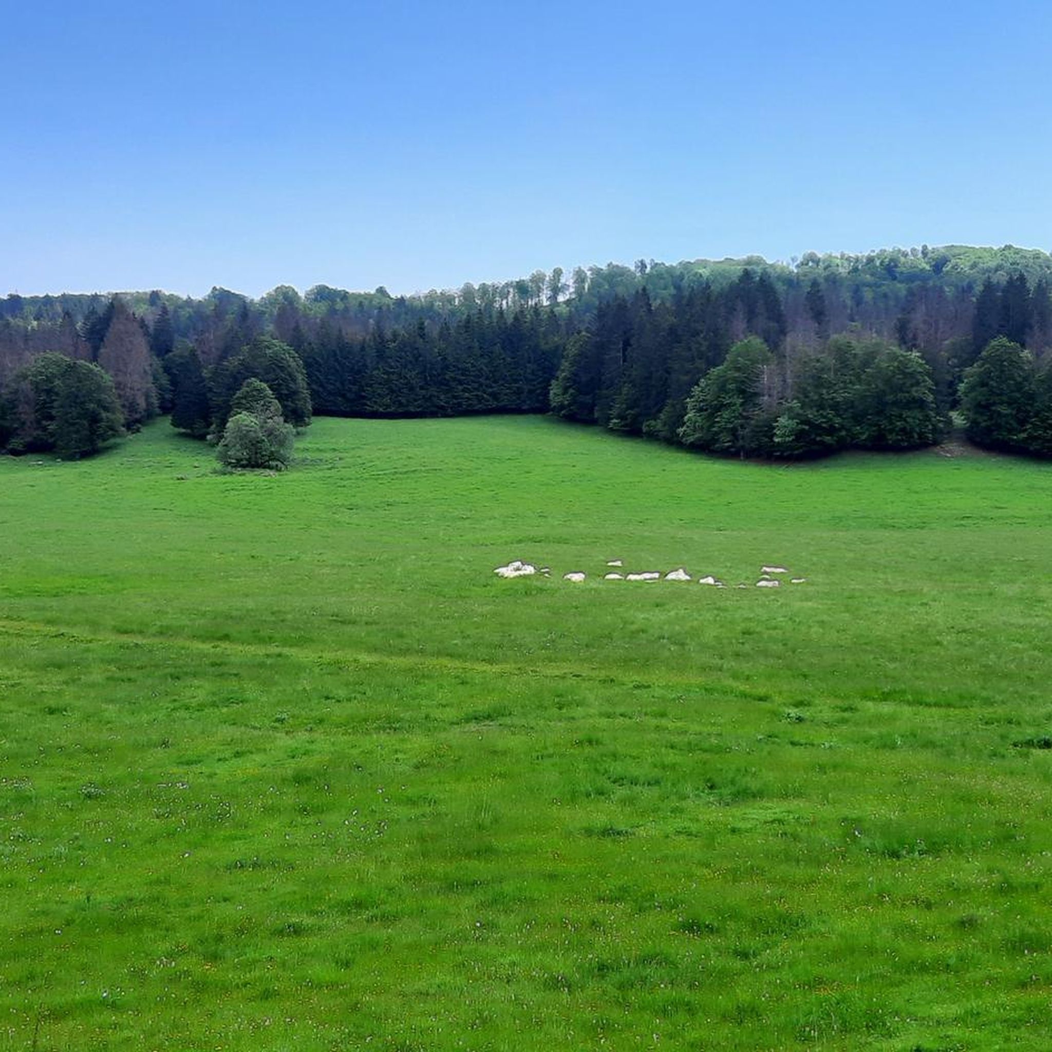

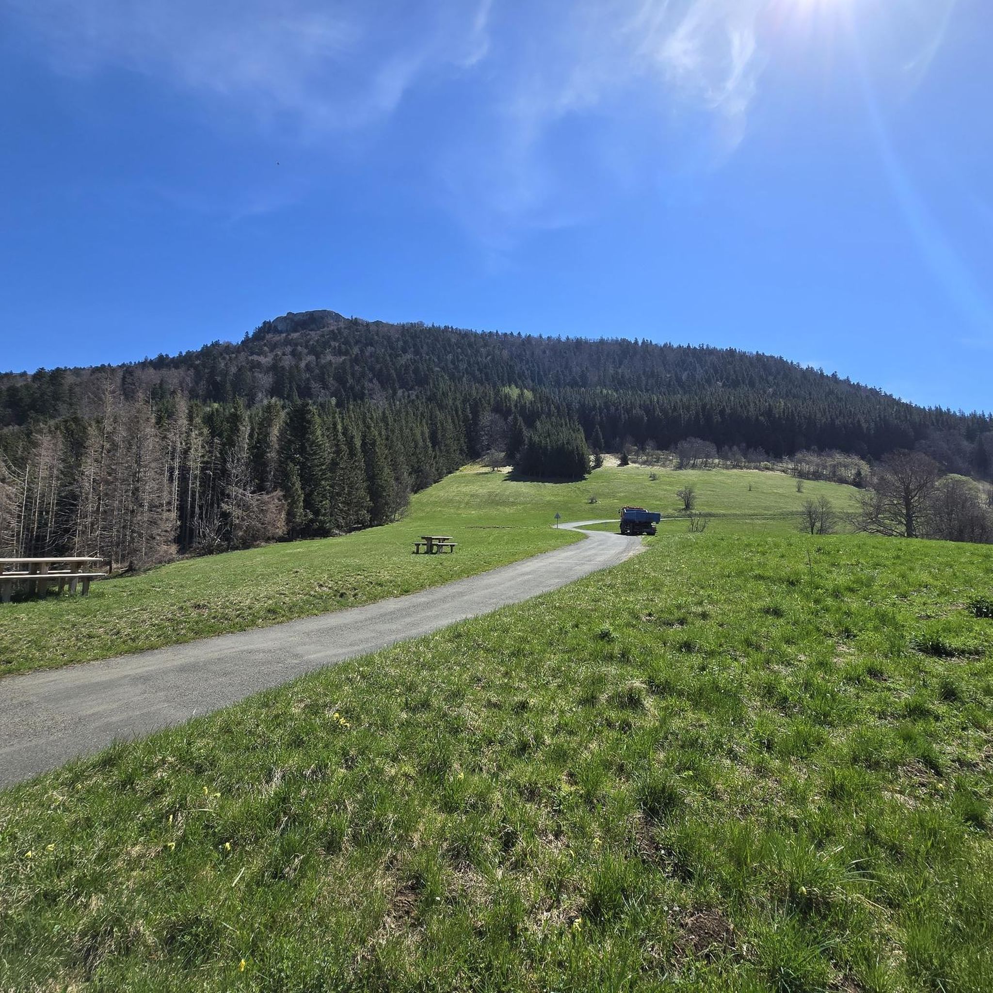

Tips from the Community

Very beautiful view even when Mont Blanc is shrouded in clouds, very peaceful
0
0

This human-sized resort offers many activities available all year round. It is the starting point for VTT, Gravel and hiking circuits. It also has a biathlon stadium usable in summer and winter, unique in the Ain. Ideal for exploring the Jura massif.
0
0

Carved piece of road in the rocks. Spectacular and easily accessible.
0
0

Regular climb, on one side or the other. Be careful, however, if you arrive at the top in "limit": there are two "passes" which follow one another in two km, this can give a little blow to morale when the legs respond less well 😉
2
0

Magnificent pass at 1000m altitude, regular climb between 5 and 6⁹%
3
0

When the weather is nice and there are no clouds, you can see Mont Blanc. Otherwise, you can settle for the closer mountains which are already magnificent!
1
0
Frequently Asked Questions
How many hiking trails are available around Lhôpital?
There are nearly 100 hiking trails around Lhôpital, offering a wide range of options for different abilities and preferences. The region's varied elevation, from 395 to 1,160 meters, ensures diverse terrain for exploration.
Are there any easy hiking trails suitable for beginners or casual walkers?
Yes, Lhôpital offers over 30 easy hiking trails. These routes are perfect for those looking for a relaxed walk through the region's scenic landscapes without significant elevation changes. Many trails are well-maintained, especially those near former ski areas.
What kind of terrain can I expect on hikes around Lhôpital?
The terrain around Lhôpital is characterized by its varied elevation and mountainous or hilly landscape. You can expect trails that range from moderate ascents to more challenging routes, often winding through elevated areas and offering scenic views. The region's proximity to ski resorts means many trails are well-maintained during warmer months.
Are there any circular hiking routes in Lhôpital?
Yes, many of the trails around Lhôpital are circular, allowing you to start and end your hike at the same point. For example, the Beauregard Crest loop from Hotonnes is a popular 7-mile (11.3 km) option offering crest views, and the L'arche de l'Écorche-Boeuf – Richemont Pass loop from Chanay is another great choice, leading through a pass and past natural rock formations.
What are some notable natural features or landmarks to see while hiking?
While hiking around Lhôpital, you can explore several interesting natural features and landmarks. The region is known for its mountain passes, such as Col de Richemond (1060 m) and Col de la Biche. You might also encounter the Plateau de Retord, which offers open vistas, or the historic Old bridge of Seyssel.
Are there any challenging hiking trails for experienced hikers?
Yes, for experienced hikers seeking a challenge, Lhôpital offers 8 difficult trails. These routes often feature significant elevation gains and more rugged terrain, providing a rewarding experience amidst the region's diverse landscapes. One such route is the Col de Richemond (1060 m) – L'arche de l'Écorche-Boeuf loop from Col de Richemond, which covers over 10 km with substantial ascent.
What do other hikers say about the trails in Lhôpital?
The hiking trails in Lhôpital are highly regarded by the komoot community, with an average rating of 4.4 stars from over 200 reviews. Hikers often praise the varied terrain, the well-maintained paths, and the scenic views offered by the region's elevated areas and former ski resort landscapes.
Is Lhôpital suitable for family-friendly hikes?
Yes, Lhôpital offers many trails suitable for families. The region's diverse range of routes includes easier options that are less strenuous, allowing families to enjoy the natural beauty together. Look for trails with lower elevation gain and shorter distances for a comfortable family outing.
Can I hike in Lhôpital during winter?
While the region is known for its ski resorts like Station des Plans d'Hotonnes, which transform into hiking areas in warmer months, winter hiking is also possible. However, conditions can be challenging with snow and ice, especially at higher elevations. It's advisable to check local weather conditions and trail reports, and ensure you have appropriate gear for winter conditions.
Are there any trails that offer panoramic viewpoints?
Absolutely. Given Lhôpital's varied elevation and mountainous landscape, many trails provide stunning panoramic viewpoints. Routes like the Beauregard Crest – Plans d'Hotonnes Station loop from Hotonnes traverse varied terrain, including sections near plateaus, which offer open vistas of the surrounding Ain region.
What is the best time of year to go hiking in Lhôpital?
The warmer months, typically spring through autumn, are ideal for hiking in Lhôpital. During this time, the former ski resort areas transform into vibrant hiking networks with well-maintained trails. Spring brings lush greenery, summer offers pleasant temperatures at higher altitudes, and autumn provides beautiful foliage. Always check local weather forecasts before heading out.
Most popular attractions around Lhôpital

Get inspired with the komoot mobile app


Explore more
Browse the best Hikes in other regions.
