The best walks and hikes around Grignon
4.4
(259)
1,266
hikers
86
hikes
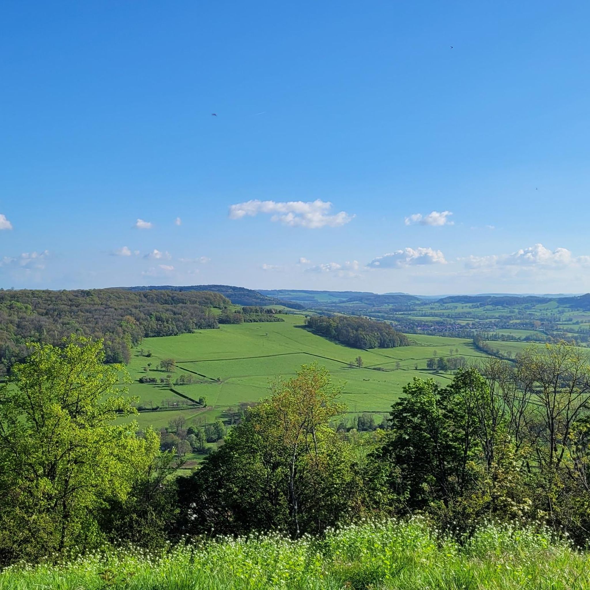
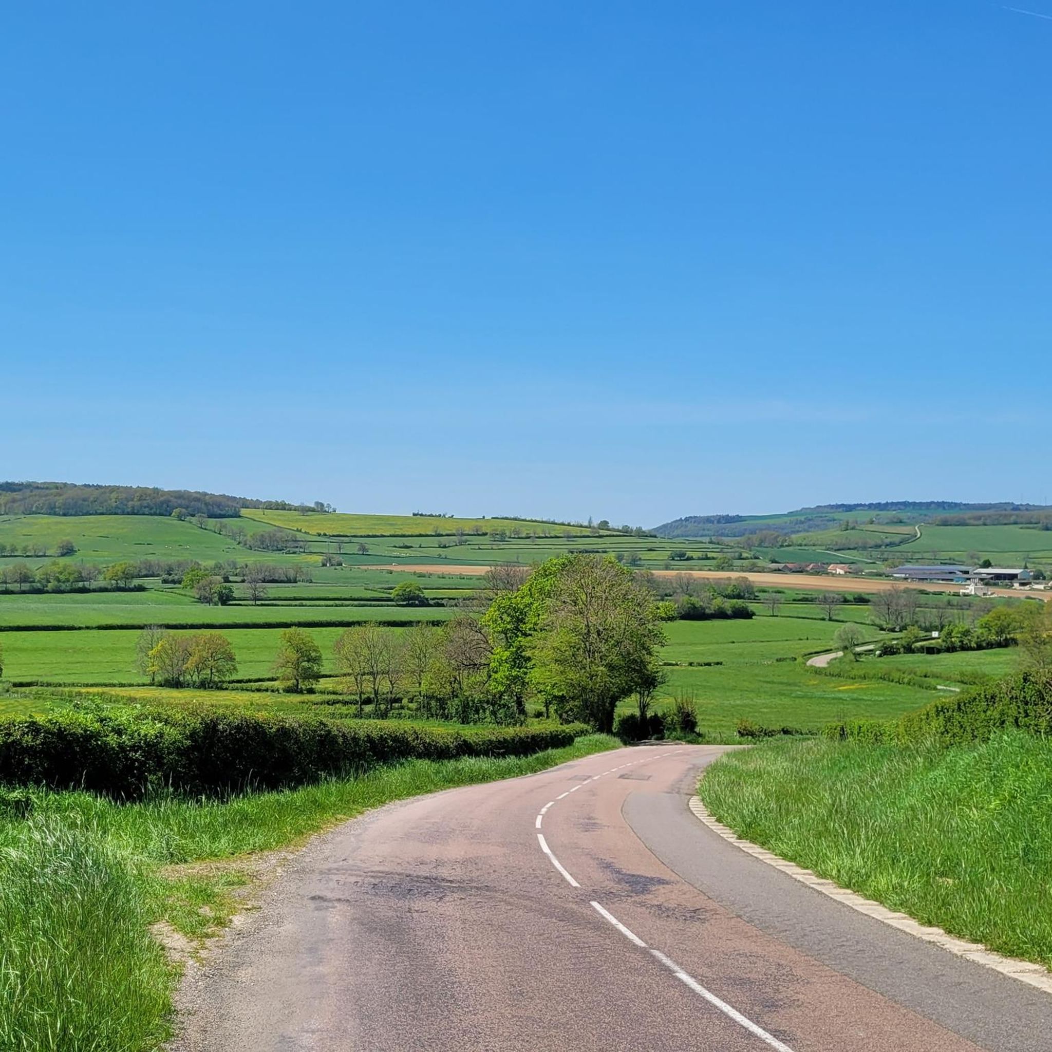
Hiking around Grignon offers a network of trails through a landscape characterized by rolling hills, historical sites, and rural countryside. The region provides diverse terrain for outdoor activities, with paths winding through agricultural areas and past significant landmarks. This area is suitable for various hiking abilities, from gentle walks to more challenging ascents.
Best hiking trails around Grignon
- The most popular hiking route is In the Footsteps of Vercingetorix Trail, a 5.6 miles (9.0 km) trail that takes 2…
Last updated: July 4, 2026
4.3
(8)
50
hikers
9.04km
02:42
280m
280m
Hike the moderate 5.6-mile Vercingétorix loop from Alise-Sainte-Reine, exploring historical battlefields and natural scenery in MuséoParc Al
4.9
(9)
28
hikers
Moderate hike. Good fitness required. Easily-accessible paths. Suitable for all skill levels.

Sign up for free
5.0
(5)
20
hikers
4.91km
01:24
110m
120m
Easy hike. Great for any fitness level. Easily-accessible paths. Suitable for all skill levels.
4.7
(6)
15
hikers
Moderate hike. Good fitness required. Easily-accessible paths. Suitable for all skill levels.
4.5
(2)
8
hikers
6.75km
01:42
10m
10m
Easy hike. Great for any fitness level. Easily-accessible paths. Suitable for all skill levels.
Get access to more routes and recommendations from other explorers.
Sign up for free
Already have an account?
Our route recommendations are based on thousands of hikes, rides, and runs completed by other people on komoot.
Start today with a free account
Your next adventure awaits.
Login or Signup
Tips from the Community

Step into the Middle Ages - another incredible place (incidentally, the film set of the movie “Chocolat” with Johnny Depp)
0
0

Beautifully winding to the most beautiful corners
0
0

With a tablet, you can travel through the past of Gallo-Roman Alesia. Wan strolls through the streets to discover the architecture, the town planning and the daily life of the inhabitants! At each stage there is a game to play with the family.
0
0
After the brotherhood of the Collège des Sociétaires was founded in Flavigny in 1450, the sanctuary was expanded and a five-sided apse was added. The bridge in front of the crossing and the individually donated side chapels were probably built at the same time.
2
0

In addition to strolling around the village, you can freely visit (and for free) the anise museum, discover the old workshops, the crypt of the abbey, and end up in the shop and buy small anise candies with different flavors.
0
0

Vercingetorix, the great Celtic prince who was tragically defeated by the Romans. The battle site is historically important for France.
1
0
The factory has been restored in a nostalgic and fantastic museum style, and the aniseed candies are cult objects.
6
0
It is a beautiful Gothic church with a carved altar. The film "Chocolat" made it famous.
2
0
Frequently Asked Questions
How many hiking trails are available around Grignon?
There are over 85 hiking trails in the Grignon area, offering a wide variety of options for different skill levels and interests. The komoot community has explored these routes extensively, with more than 1000 hikers using komoot to discover the region's diverse terrain.
What kind of terrain can I expect on hikes near Grignon?
Hiking around Grignon primarily features rolling hills, historical sites, and rural countryside. You'll find paths winding through agricultural areas, past significant landmarks, and through unspoiled forests and fields, characteristic of the Bourgogne-Franche-Comté region. The terrain varies from gentle walks to more challenging ascents.
Are there any easy hiking trails suitable for beginners in Grignon?
Yes, Grignon offers many easy hiking options. Out of the 85 available routes, 46 are classified as easy. A popular choice for a relaxed stroll is the Rue Buffon – Pont Pinard loop from Semur-en-Auxois, an easy 4.1 miles (6.7 km) path that offers scenic views through rural settings.
Can I find family-friendly hiking options around Grignon?
Many of the easy and moderate trails in Grignon are suitable for families. The region's rolling hills and historical sites provide engaging walks without overly strenuous climbs. Look for routes with shorter distances and less elevation gain, such as the Orientation table – Statue of Vercingetorix loop from Alise-Sainte-Reine, which is an easy 4.9 km loop.
Are dogs allowed on the hiking trails in Grignon?
Generally, dogs are welcome on most hiking trails in the Grignon area, especially on rural paths and through natural landscapes. However, it's always advisable to keep them on a leash, especially when passing through agricultural areas, near livestock, or in protected natural spaces. Always check local signage for specific restrictions.
What historical landmarks or attractions can I see while hiking near Grignon?
The Grignon area is rich in history. Many trails pass by significant sites. You can explore the UNESCO World Heritage site of Fontenay Abbey, a 12th-century Cistercian abbey. The MuséoParc Alésia, detailing the famous Battle of Alesia, is another prominent historical site. Routes like the In the Footsteps of Vercingetorix Trail and the Saint-Genest Church – Statue of Vercingetorix loop from Alise-Sainte-Reine specifically highlight historical points of interest.
Are there any circular hiking routes in the Grignon area?
Yes, many of the trails around Grignon are designed as circular routes, allowing you to start and end at the same point. Examples include the Rue Buffon – Pont Pinard loop from Semur-en-Auxois and the Saint-Genest Church – Statue of Vercingetorix loop from Alise-Sainte-Reine, which are popular choices for their convenience and scenic variety.
What is the best time of year to go hiking in Grignon?
The best time to hike in Grignon is typically from spring to autumn (April to October). During these months, the weather is generally mild and pleasant, making for comfortable hiking conditions. Spring brings blooming wildflowers, while autumn offers beautiful fall foliage. Summer can be warm, but many trails offer shaded sections. Winter hiking is possible but may require appropriate gear for colder temperatures and potentially muddy conditions.
How do other hikers rate the trails around Grignon?
The hiking trails around Grignon are highly regarded by the komoot community, with an impressive average rating of 4.3 stars from over 200 reviews. Hikers frequently praise the region's blend of historical interest, varied rural landscapes, and well-maintained paths suitable for different abilities.
Are there options for parking near the trailheads in Grignon?
Yes, parking is generally available near the starting points of many popular hiking trails and in the villages surrounding Grignon, such as Alise-Sainte-Reine and Semur-en-Auxois. These areas often have designated parking lots or street parking suitable for hikers. It's always a good idea to check specific route details on komoot for recommended parking spots.
Can I reach hiking trails in Grignon using public transport?
While some larger towns in the Bourgogne-Franche-Comté region are accessible by public transport, direct access to all trailheads in the rural Grignon area might be limited. It's recommended to check local bus schedules or consider a combination of public transport to a nearby town and then a short taxi ride or car share to reach more remote starting points. Planning ahead is key for public transport access.
What are some longer, more challenging hikes available in Grignon?
For those seeking a greater challenge, Grignon offers a few more demanding routes. While most trails are easy to moderate, there are 3 routes classified as difficult. An example of a longer moderate hike is the Aniseed of Flavigny – Statue of Vercingetorix loop from Au Faubourg, which covers 14.6 km (9.1 miles) with significant elevation gain, taking around 4 hours 16 minutes to complete.
Most popular attractions around Grignon

Get inspired with the komoot mobile app


Explore more
Browse the best Hikes in other regions.
