The best running trails around Saint-Clair
4.4
(156)
3,546
runners
12
runs
Jogging routes around Saint-Clair offer diverse terrain, characterized by rolling hills and valleys, with routes often passing through rural landscapes and near local landmarks. The region features a mix of natural paths and established trails, providing varied running experiences. Elevation changes are common, making for engaging and sometimes challenging runs.
Best jogging routes around Saint-Clair
- The most popular jogging route is La Madone de Boulieu loop from Boulieu-lès-Annonay, a 5.4 miles (8.7 km) trail that takes 1 hour 7…
Last updated: November 1, 2026
4.0
(1)
8
runners
15.8km
01:53
420m
420m
Hard run. Very good fitness required. Mostly paved surfaces.
4
runners
5.08km
00:37
80m
80m
Moderate run. Good fitness required. Mostly paved surfaces.

3
runners
6.24km
00:43
110m
110m
Moderate run. Good fitness required. Mostly paved surfaces.
5
runners
7.90km
00:52
150m
150m
Moderate run. Good fitness required. Mostly paved surfaces.
6
runners
20.6km
02:34
570m
570m
Hard run. Very good fitness required. Mostly paved surfaces.
Get access to more routes and recommendations from other explorers.
Already have an account?
Our route recommendations are based on thousands of hikes, rides, and runs completed by other people on komoot.
Start today with a free account
Your next adventure awaits.
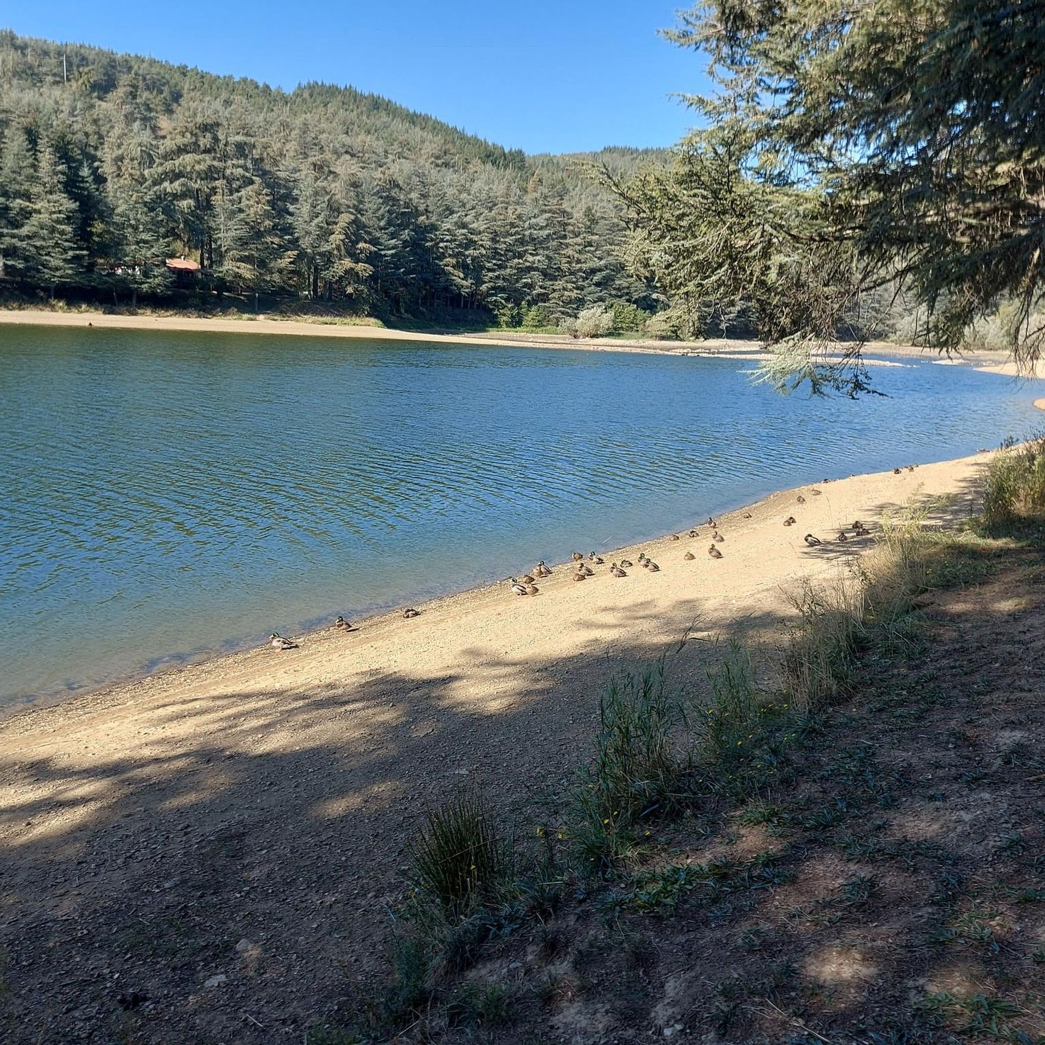
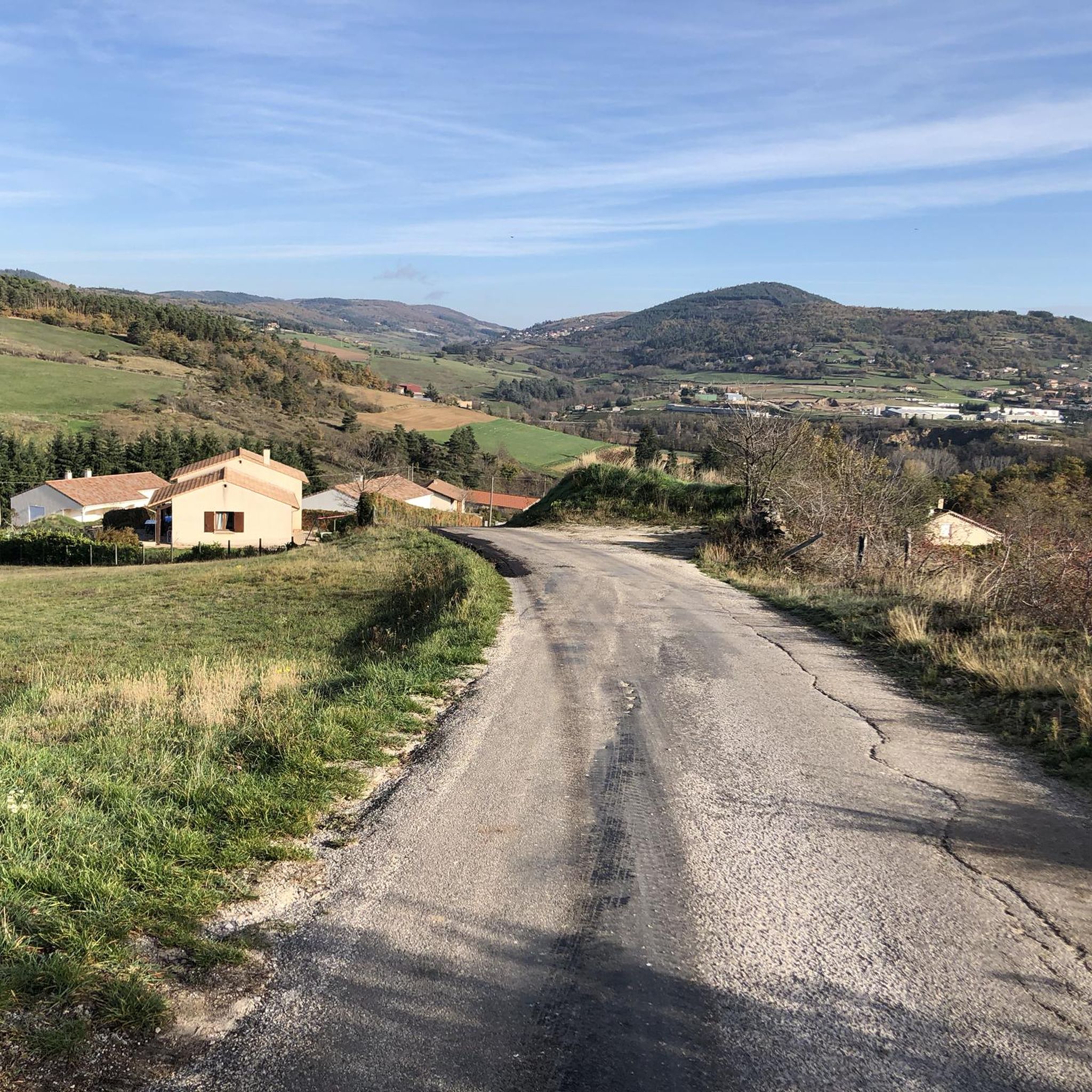
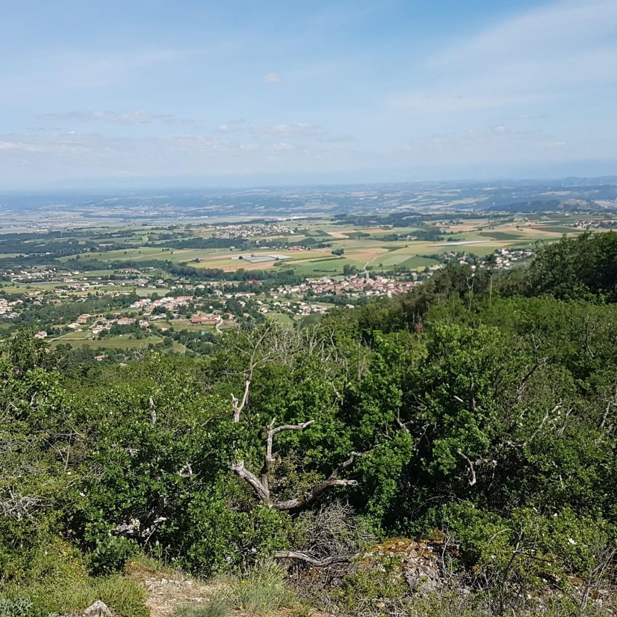
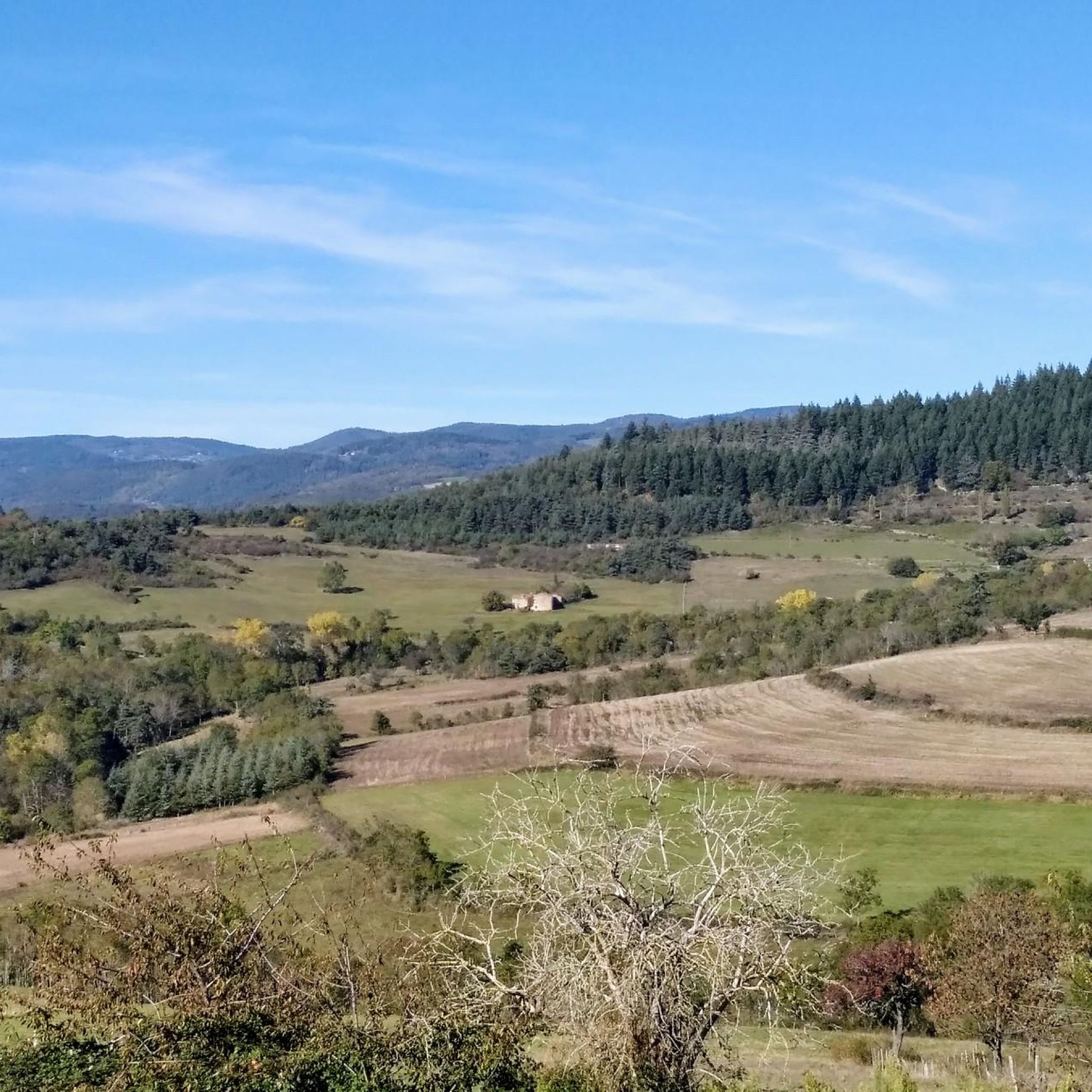

Tips from the Community

Between Boulieu-lès-Annonay and Vinzieux. Without particular difficulty.
0
0

Climbed from Serrières, passing through the vineyards to avoid the main road. A real pleasure to climb, the road is not very busy.
0
0

The Col du Fayet is 9.68m long with a total drop of 470m. The average gradient is 4.86% with maximum gradients of 7.1%.
1
0

Frequently Asked Questions
How many running routes are available in the Saint-Clair area?
The Saint-Clair region offers a wide selection of running routes, with over 300 trails available for exploration. These routes cater to various fitness levels, from moderate loops to more challenging long-distance runs through rolling hills and rural landscapes.
Are there easy running routes suitable for beginners in Saint-Clair?
Yes, Saint-Clair has a selection of easier running routes perfect for beginners or those looking for a less strenuous jog. While the region is known for its rolling hills, there are at least 16 routes classified as easy, often traversing gentler terrain and local paths.
What are some challenging long-distance running trails around Saint-Clair?
For runners seeking a challenge, Saint-Clair offers several difficult long-distance trails. A notable option is the Chirole Cross – Railway Workers' Shelter loop from Boulieu-lès-Annonay, which spans 21.2 miles (34.1 km) and features significant elevation changes, connecting various local points of interest.
Are there any circular running routes in Saint-Clair?
Many of the running routes in Saint-Clair are designed as circular loops, offering convenient starting and ending points. For example, the popular La Madone de Boulieu loop from Boulieu-lès-Annonay is a moderate 5.4-mile (8.7 km) circular trail, providing scenic views towards the La Madone de Boulieu landmark.
What kind of scenery can I expect on the running trails in Saint-Clair?
Running trails in Saint-Clair are characterized by diverse scenery, including rolling hills, picturesque rural landscapes, and paths near local landmarks. You'll often find yourself amidst natural paths and established trails, with views of the countryside and historical structures like the Viaduc de Pupil.
What do other runners enjoy most about jogging in Saint-Clair?
The running experience in Saint-Clair is highly rated by the komoot community, with an average score of 4.4 stars from over 145 reviews. Runners often praise the varied terrain, the engaging elevation changes, and the opportunity to explore rural paths and local landmarks.
Are there any interesting landmarks or attractions to see along the running routes?
Yes, several running routes in Saint-Clair pass by interesting landmarks and natural attractions. You might encounter the Chirole Cross, enjoy views of the Gorges and the Cance Valley, or even cross the historic Sablons Bridge. The Viaduc de Pupil – Annonay loop from Davézieux is another route that takes you through local countryside with notable features.
Are there running routes that are suitable for families with children?
While specific 'family-friendly' designations are not always available, many of the moderate and easier routes in Saint-Clair, particularly those with less elevation gain and shorter distances, can be suitable for families. Look for trails that pass through open meadows or offer points of interest to keep younger runners engaged.
Can I find running routes that are accessible by public transport in Saint-Clair?
While the guide focuses on routes starting from specific towns like Boulieu-lès-Annonay and Davézieux, which may have local public transport options, it's recommended to check local bus schedules or regional transport services for direct access to trailheads. Many routes are situated in rural areas, so planning your journey in advance is advisable.
Are there running trails with good parking facilities in Saint-Clair?
Most running routes in Saint-Clair, especially those starting from towns like Boulieu-lès-Annonay or Davézieux, typically have designated parking areas nearby. It's always a good idea to check local signage or online maps for specific parking information at your chosen trailhead before you go.
What is a good moderate-difficulty running route to try in Saint-Clair?
A great moderate-difficulty option is the Viaduc de Pupil – Annonay loop from Davézieux. This 6.8-mile (10.9 km) trail leads through the local countryside and can typically be completed in about 1 hour and 11 minutes, offering an enjoyable experience without being overly strenuous.
Are there any longer, more demanding running routes for experienced runners?
Absolutely. For experienced runners, the Chirole Cross loop from Boulieu-lès-Annonay is a challenging option. This route covers 14 miles (22.6 km) with significant elevation gain, providing a demanding workout through the region's varied terrain.
Most popular routes around Saint-Clair
Most popular attractions around Saint-Clair

Get inspired with the komoot mobile app


Explore more
Browse the best Running Trails & Routes in other regions.
