The best walks and hikes around Annonay
4.5
(206)
1,238
hikers
27
hikes
Hiking around Annonay, situated in the northern Ardèche region, presents diverse landscapes for outdoor exploration. The terrain features hills, notably Montmiandon at 679 meters, which offers panoramic views of the Annonay basin and the Rhône valley. Trails often traverse through woodlands and past ancient dry stone terraces, reflecting historical agricultural practices. The region provides a variety of paths suitable for different fitness levels.
Best hiking trails around Annonay
- The most popular hiking route is Hiking loop from Chatinais, a…
Last updated: May 12, 2026
4.6
(8)
33
hikers
4.75km
01:22
110m
110m
Easy hike. Great for any fitness level. Easily-accessible paths. Suitable for all skill levels.
4.3
(8)
23
hikers
11.4km
03:32
420m
420m
Moderate hike. Good fitness required. Easily-accessible paths. Suitable for all skill levels.

Sign up for free
4.7
(3)
14
hikers
14.0km
04:05
390m
390m
Moderate hike. Good fitness required. Easily-accessible paths. Suitable for all skill levels.
3.5
(2)
12
hikers
18.6km
05:34
570m
570m
Hard hike. Very good fitness required. Mostly accessible paths. Sure-footedness required.
5.0
(2)
13
hikers
8.23km
02:22
200m
200m
Moderate hike. Good fitness required. Easily-accessible paths. Suitable for all skill levels.
Get access to more routes and recommendations from other explorers.
Sign up for free
Already have an account?
Our route recommendations are based on thousands of hikes, rides, and runs completed by other people on komoot.
Start today with a free account
Your next adventure awaits.
Login or Signup



Tips from the Community

A massive, stone-built base supports the "Croix de Chirole," a symbol commemorating the crucifixion and resurrection of Jesus Christ, crowning the summit plateau. The two wooden beams of this small sacred monument clearly show the effects of wind and weather. The large body of the crucified Christ, however, whose light color clearly stands out against the background of the dark beams, appears to have been relatively recently restored or perhaps even renewed.
0
0

Superb view of Annonay and beyond!
0
0

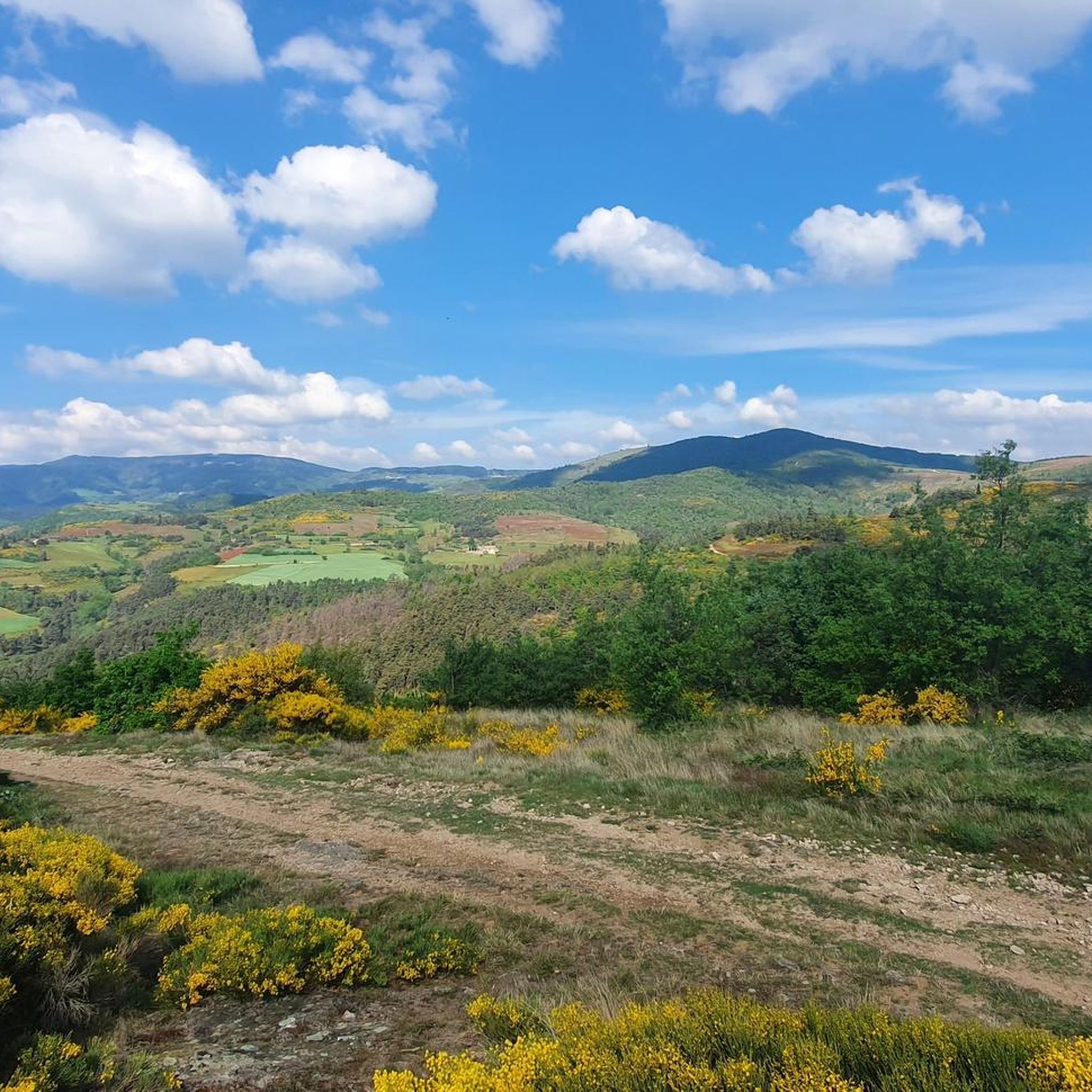
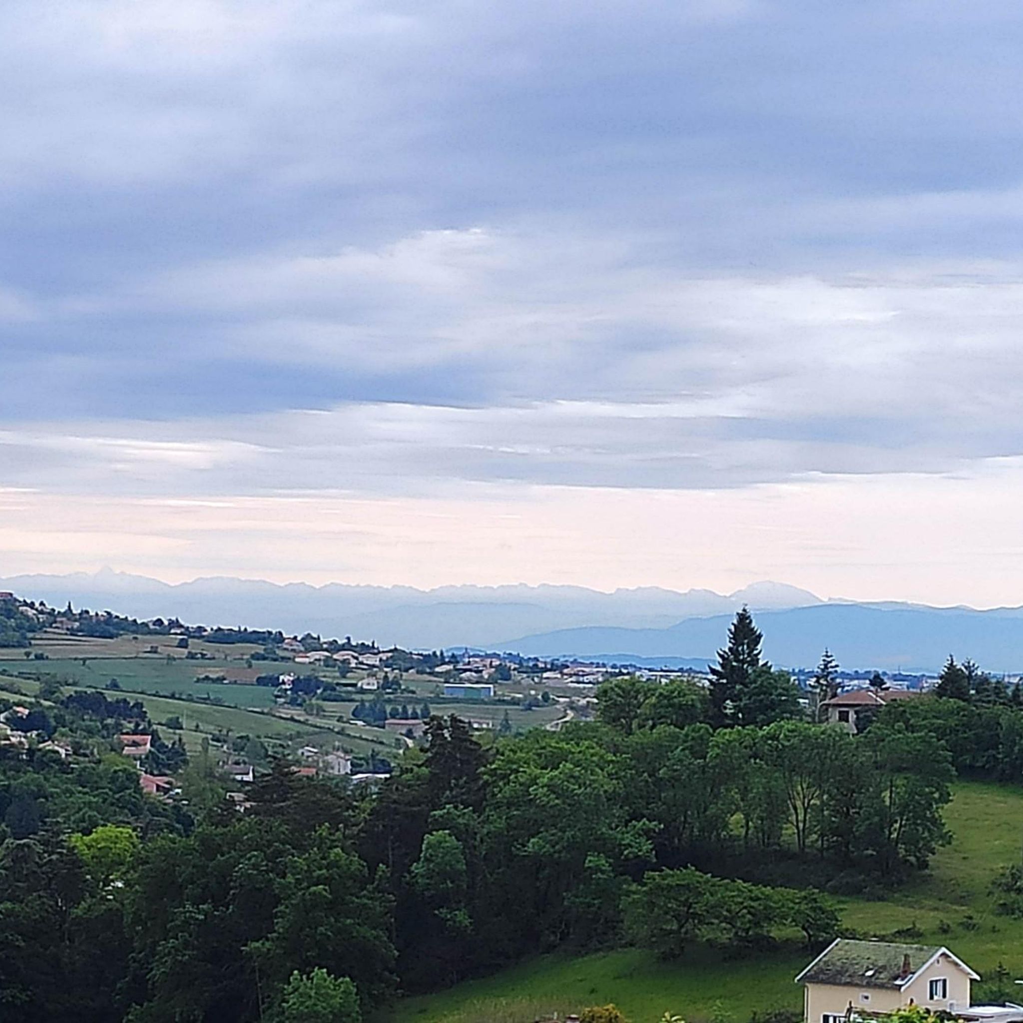
From its 915 meters, you can see through three valleys, the central massif and the Alps. Stunning panoramas.
3
0

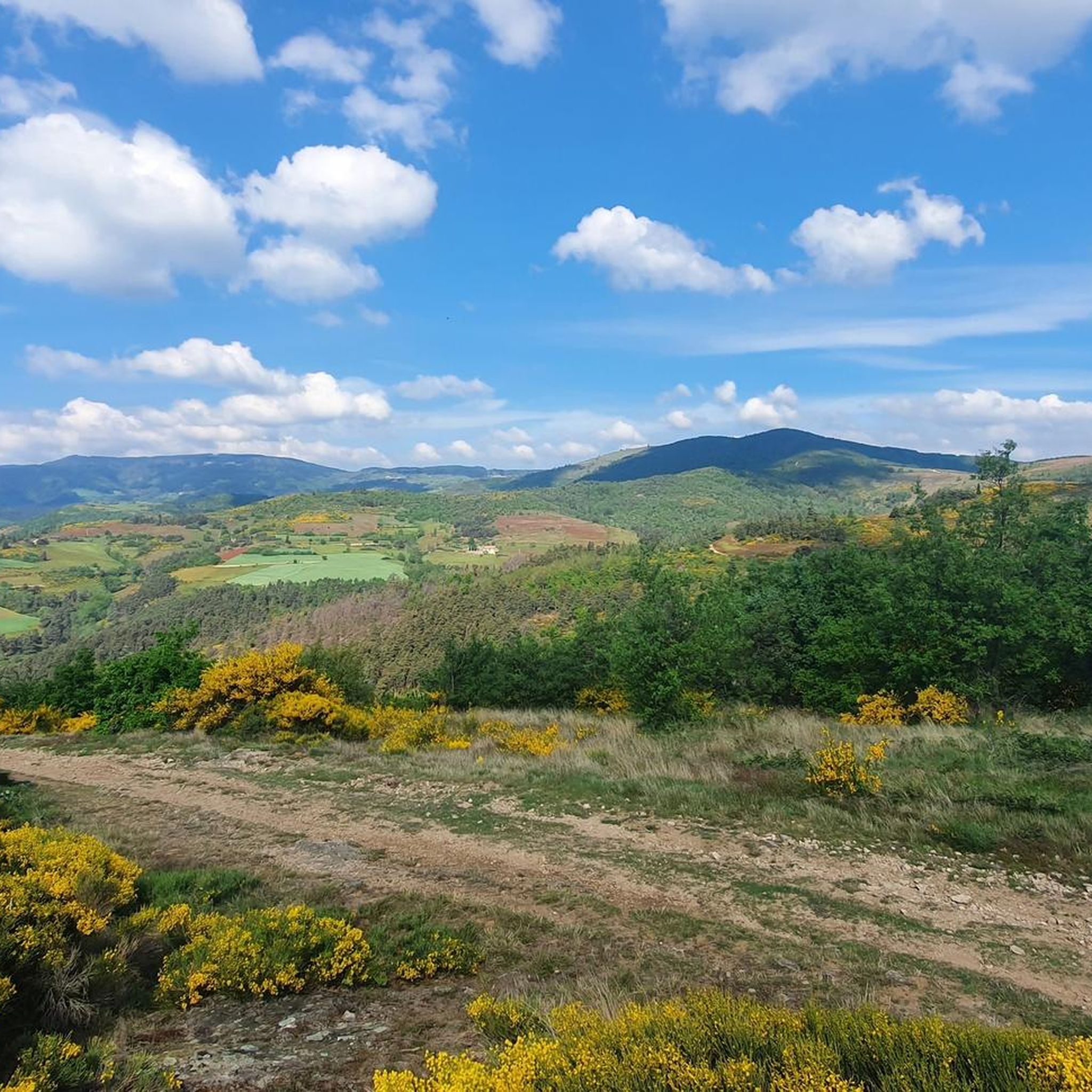
The Montmiandon towers over the city of Annonay at 679 meters above sea level. From this hill you have a fantastic view of the Annonay basin, the Rhone Valley and, if the visibility is good, the Vercors and the Alps.
2
0
Frequently Asked Questions
What kind of terrain can I expect on hikes around Annonay?
The hiking terrain around Annonay is characterized by hills, dense woodlands, and varied landscapes. You'll find paths traversing through forests and past ancient dry stone terraces, offering a mix of natural beauty and historical elements. Notable features include Montmiandon, which provides panoramic views of the Annonay basin and the Rhône valley.
Are there any easy hiking trails suitable for beginners or families?
Yes, Annonay offers several easy routes. For instance, the Hiking loop from Chatinais is an easy 2.9-mile (4.7 km) trail that winds through local woodlands and typically takes about 1 hour 21 minutes to complete. Overall, there are 8 easy routes available in the area.
What are the best viewpoints or natural landmarks to see while hiking?
Many trails offer stunning views, particularly from higher elevations like Montmiandon, which provides panoramic vistas of the Annonay basin, the Rhône valley, and even the Alps on clear days. You can also find the Chirole Cross, a significant viewpoint in the area. The Gorges and the Cance Valley also offer picturesque natural scenery.
Are there any circular hiking routes around Annonay?
Yes, many of the trails around Annonay are designed as loops. Popular circular routes include the Chirole Cross loop from Font Chevalier, a moderate 7.1-mile (11.4 km) path, and the Suc du Crochet loop from Chatinais, which is an 8.7-mile (14.0 km) route through varied terrain.
What do other hikers say about the trails in Annonay?
The trails in Annonay are highly regarded by the komoot community, holding an average rating of 4.5 stars from over 200 reviews. Hikers often praise the diverse landscapes, the well-maintained paths, and the rewarding views, especially from Montmiandon.
Can I find more challenging hikes in the Annonay area?
Yes, for those seeking a greater challenge, there are 3 difficult routes available. An example is the Chirole Cross – View of the Burdignes Valley loop from Toissieu La Croix, which spans 11.6 miles (18.6 km) and involves significant elevation changes.
Are there any historical or cultural points of interest accessible by foot in Annonay?
Beyond the natural trails, Annonay offers the 'Heritage Trail,' a 2.2-kilometer walk through the old town center. This trail features 17 explanatory panels, allowing visitors to explore the town's history and emblematic places on foot, blending outdoor activity with cultural discovery.
How many hiking routes are available in total around Annonay?
There are over 25 hiking routes available around Annonay, catering to various fitness levels and preferences. This includes 8 easy, 17 moderate, and 3 difficult trails.
Are there any bridges or river features to see on the hikes?
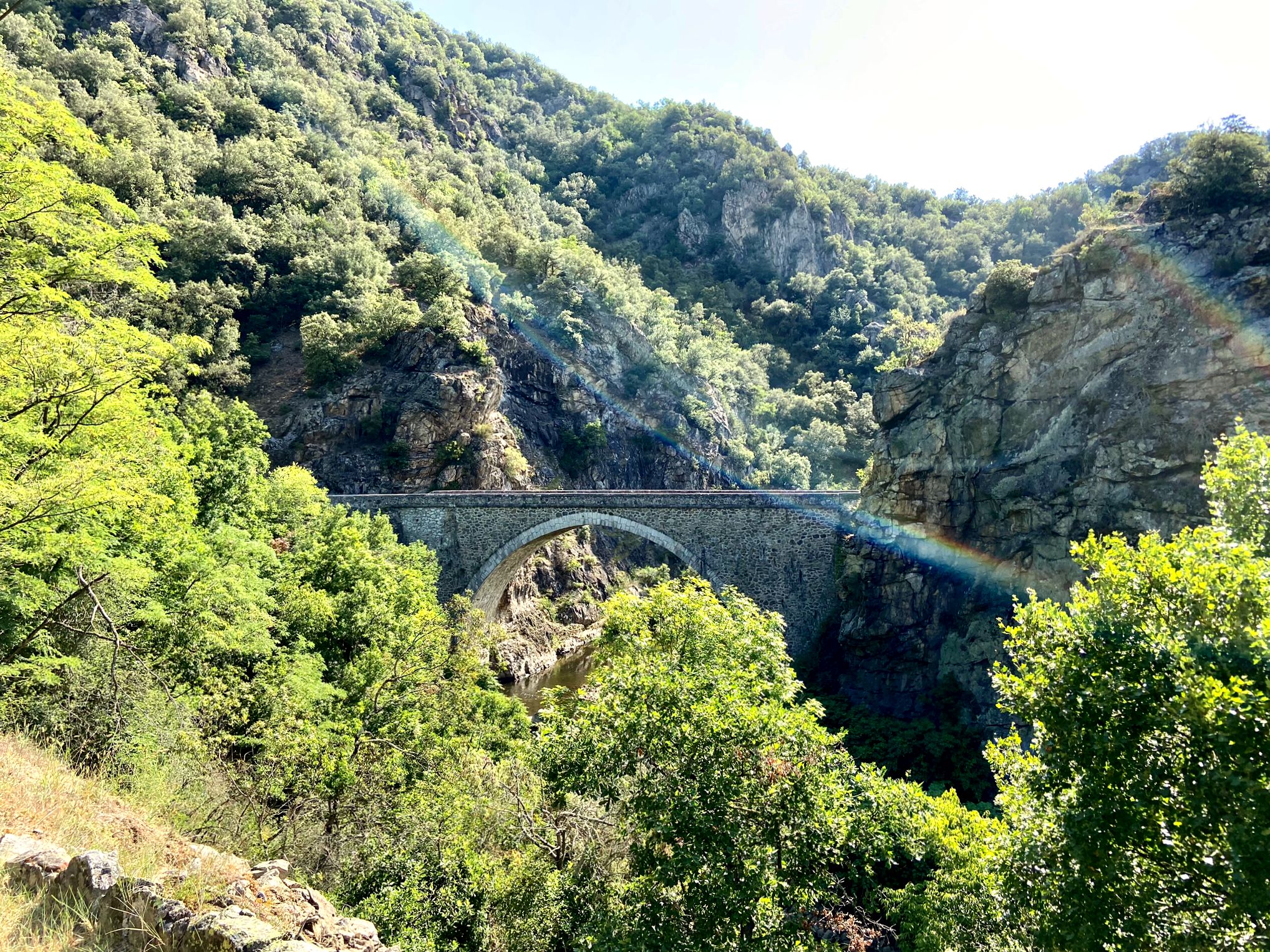
Yes, the region features several interesting bridges. You can find the historic Town of Andance and the Sablons Bridge, which are notable points of interest in the vicinity.
What is the typical duration for a moderate hike in Annonay?
Moderate hikes around Annonay can vary in length and duration. For example, the Chirole Cross loop from Font Chevalier is a moderate 7.1-mile (11.4 km) path that typically takes around 3 hours 32 minutes to complete.
Are there any trails that offer views of the Rhône Valley?
Absolutely. Many trails, especially those ascending Montmiandon, provide exceptional panoramic views of the Rhône Valley. The region's topography ensures that you'll frequently encounter vistas overlooking the valley as you hike.
Most popular attractions around Annonay

Get inspired with the komoot mobile app


Explore more
Browse the best Hikes in other regions.
