The best walks and hikes around Riotord
4.5
(302)
1,845
hikers
26
hikes
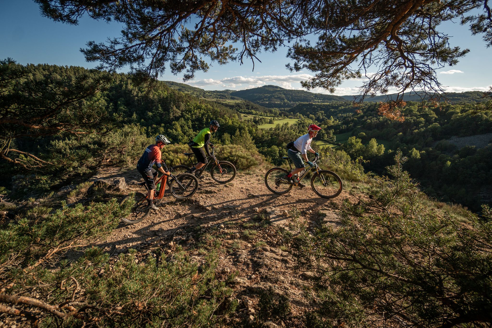
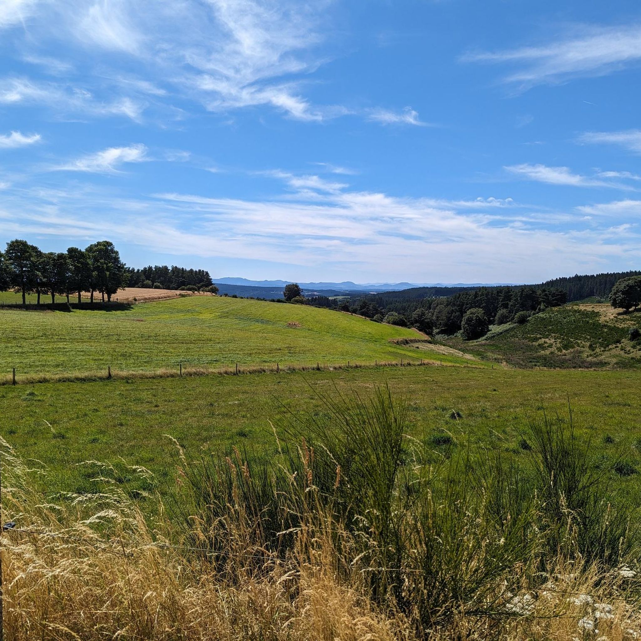
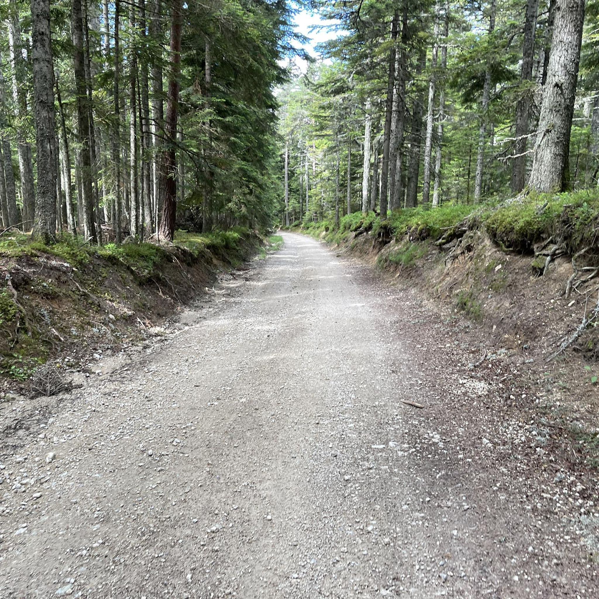
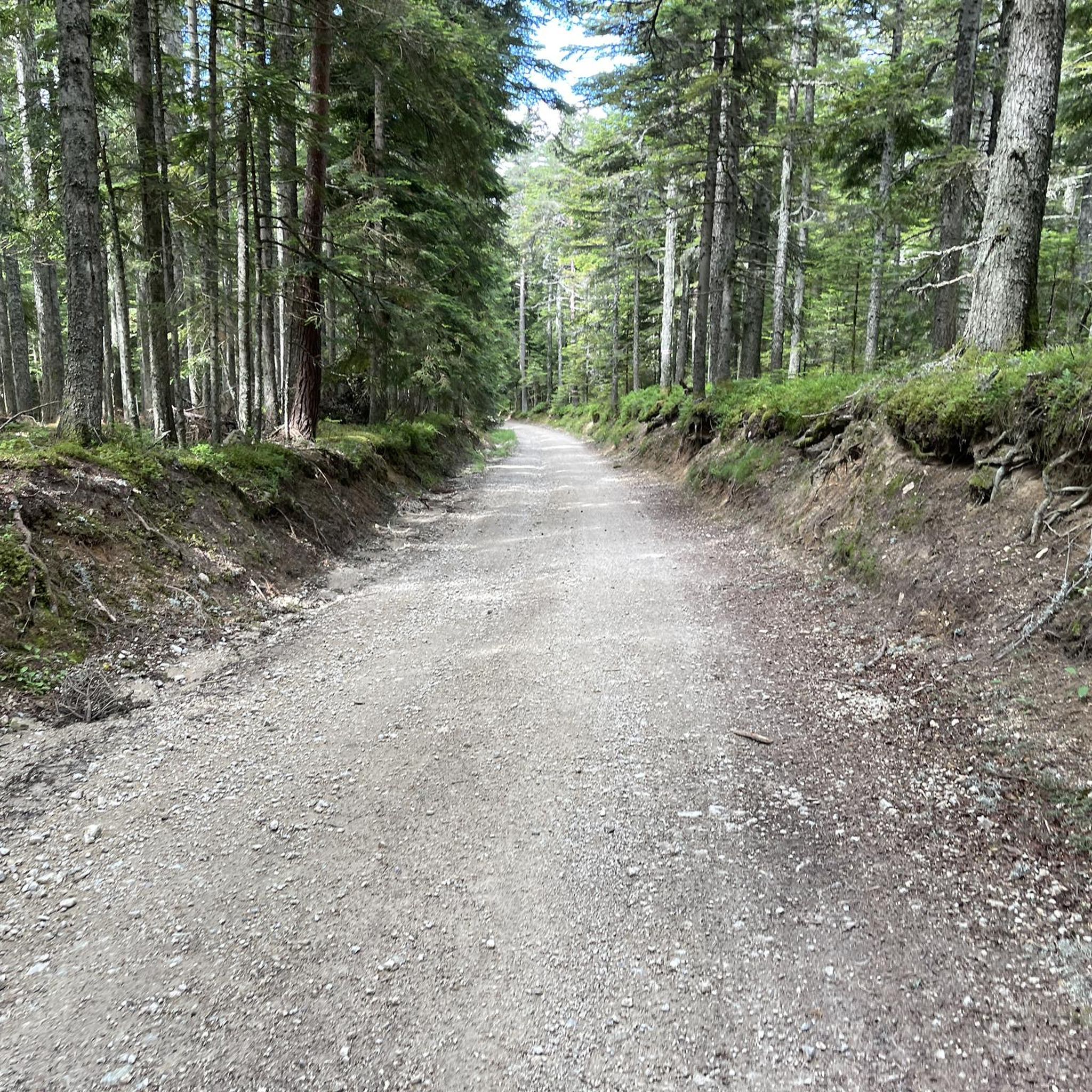
Hiking around Riotord offers access to diverse landscapes within France's Auvergne-Rhône-Alpes region. The area features deep fir forests, such as the Forêt de Taillard, with peaks like Pyfarat reaching 1381m. Hikers can also explore moorlands and prairies around Crêt de Chaussitre, and open landscapes of the Velay Plateau. Volcanic formations, known as "sucs," are also present, contributing to varied terrain.
Best hiking trails around Riotord
- The most popular hiking route is Grand Felletin – Le Grand Felletin loop from Col…
Last updated: June 25, 2026
5.0
(4)
38
hikers
5.51km
01:35
140m
140m
Easy hike. Great for any fitness level. Easily-accessible paths. Suitable for all skill levels.
5.0
(5)
33
hikers
8.51km
02:37
300m
300m
Moderate hike. Good fitness required. Easily-accessible paths. Suitable for all skill levels.

Sign up for free
3.7
(3)
13
hikers
8.87km
02:38
270m
270m
Moderate hike. Good fitness required. Easily-accessible paths. Suitable for all skill levels.
4.5
(2)
14
hikers
14.5km
04:12
390m
390m
Moderate hike. Good fitness required. Easily-accessible paths. Suitable for all skill levels.
4.7
(3)
7
hikers
Hard hike. Very good fitness required. Easily-accessible paths. Suitable for all skill levels.
Get access to more routes and recommendations from other explorers.
Sign up for free
Already have an account?
Our route recommendations are based on thousands of hikes, rides, and runs completed by other people on komoot.
Start today with a free account
Your next adventure awaits.
Login or Signup



Tips from the Community


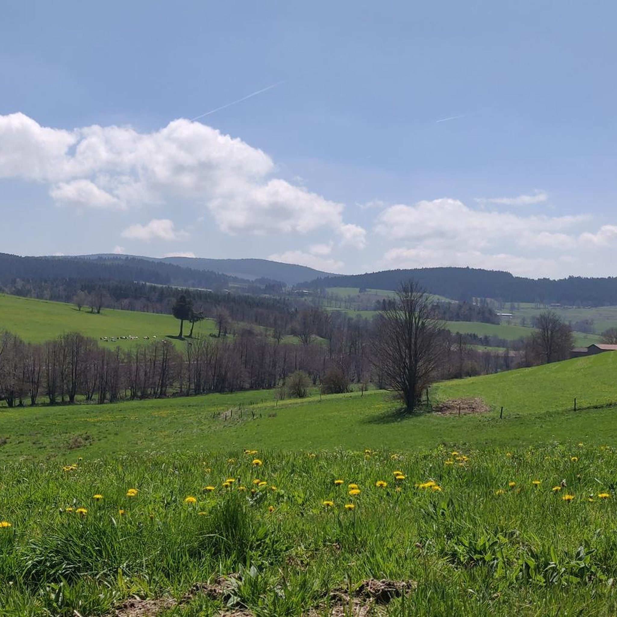
Located on the slopes of Mont Felletin, this site offers a wide panorama of the mountains of Ardèche and Haute-Loire.
1
0
Located at the foot of Mont Felletin, this chapel of a former Cistercian women's abbey has preserved the isolation characteristic of the sites of this austere order. A small medieval-inspired garden adorns the site. Away from the urban hustle and bustle and noise, it is a preserved place that awaits visitors.
1
0

There is a very nice view of the valley despite a somewhat long climb
1
0
Frequently Asked Questions
What types of landscapes can I expect to see while hiking around Riotord?
Riotord offers a diverse range of landscapes. You'll find deep fir forests like the Forêt de Taillard, expansive moorlands and prairies around Crêt de Chaussître, and open views of the Velay Plateau. The region also features volcanic formations known as "sucs," and dramatic scenery in the nearby Gorges de la Loire.
How many hiking trails are available in the Riotord area?
There are over 20 hiking trails around Riotord, catering to various skill levels. You can choose from 5 easy routes, 15 moderate trails, and 4 more challenging options.
Are there any circular walks recommended in Riotord?
Yes, many trails in Riotord are circular. Popular options include the Grand Felletin loop from Col de la Charousse (8.8 km) or the slightly longer Grand Felletin loop from Les Sétoux (14.5 km). These routes allow you to experience the varied terrain without retracing your steps.
What do other hikers say about the trails in Riotord?
The hiking trails in Riotord are highly rated by the komoot community, with an average score of 4.5 stars from over 270 reviews. Hikers often praise the well-maintained paths, the serene forest environments, and the panoramic views from points like Mont Chiniac.
Are there any interesting landmarks or attractions to see along the hiking trails?
Yes, you can discover several points of interest. Hikers might pass by the Chirole Cross, reach the summit of Crêt de Chaussître, or traverse the Rouvey Pass. The region also features the ecological richness of the Massif du Lizieux.
Are there any easy hiking routes suitable for families or beginners?
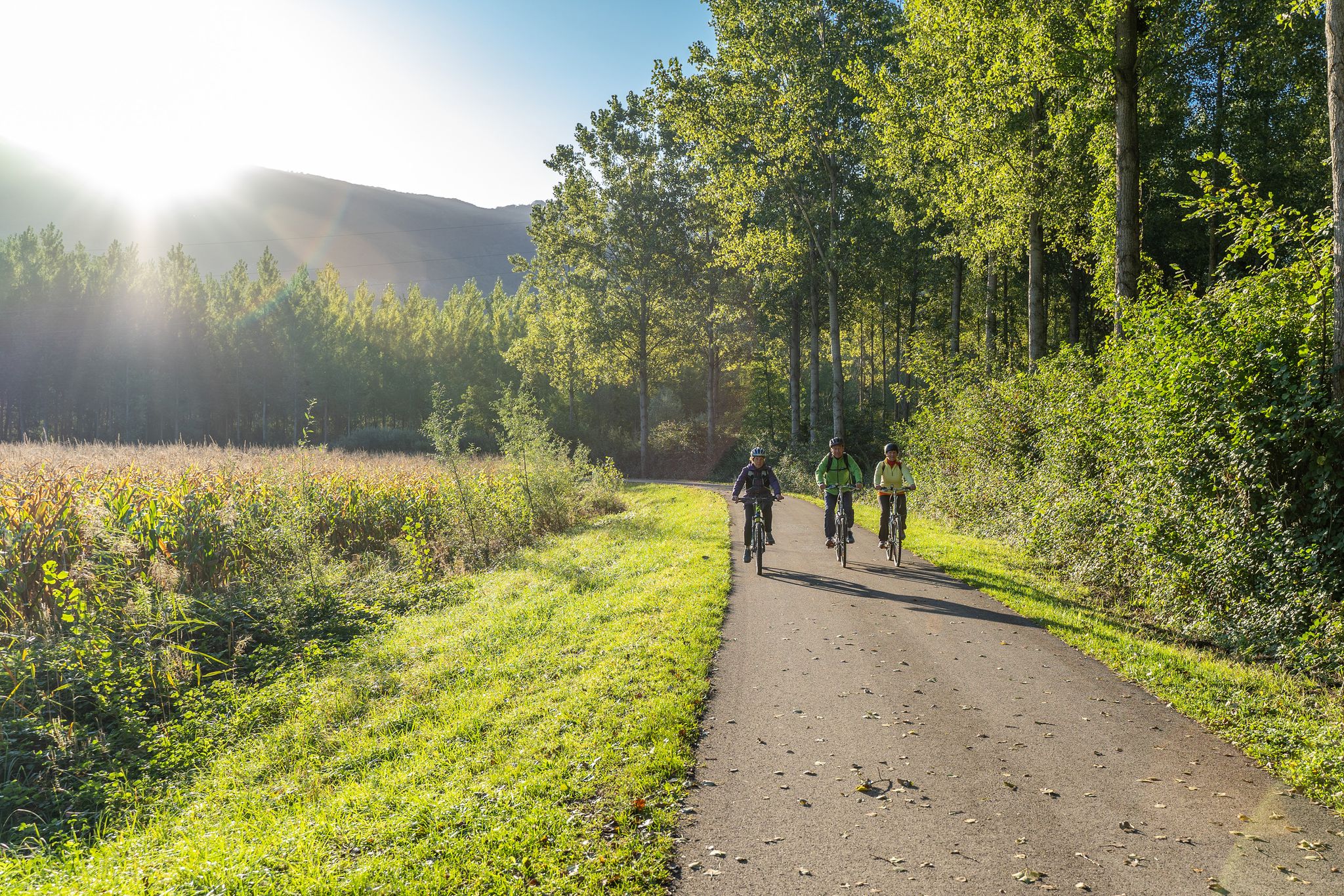
Absolutely. Riotord offers 5 easy routes perfect for families or those new to hiking. The "La Tracolline" greenway, which follows an old railway line, is particularly suitable for easy walks, cycling, and mountain biking through villages and meadows.
Can I bring my dog on the hiking trails in Riotord?
Many trails in the Riotord area are dog-friendly, allowing you to enjoy the natural beauty with your canine companion. It's always recommended to keep dogs on a leash, especially in areas with livestock or protected wildlife, and to check specific trail regulations if available.
What is the best time of year to go hiking in Riotord?
Riotord is enjoyable for hiking across multiple seasons. Spring and autumn offer pleasant temperatures and vibrant foliage, while summer provides warm weather for longer excursions. Even in winter, some trails are accessible, offering a different, serene experience of the snow-covered landscapes.
Are there any long-distance hiking paths that pass through Riotord?
Yes, Riotord is strategically located at the intersection of significant long-distance paths. These include sections of the GR 7 and a route that forms part of the historic pilgrimage to Saint-Jacques-de-Compostelle, offering opportunities for extended treks.
Where can I find parking for hiking trails in Riotord?
Parking is generally available near trailheads and in the village of Riotord itself. For specific routes, such as the Grand Felletin loop from Col de la Charousse, you'll find designated parking areas at the starting points.
Are there any challenging hikes for experienced trekkers?
Yes, for experienced hikers seeking a challenge, Riotord offers 4 difficult routes. An example is the Old bridge in the forest loop from Abbaye Notre-Dame de Clavas, which covers nearly 24 km and involves significant elevation changes.
What kind of natural features make Riotord unique for hiking?
Riotord's uniqueness comes from its blend of deep fir forests, open plateaus, and volcanic formations. The presence of the Forêt de Taillard with peaks like Pyfarat, the moorlands of Crêt de Chaussitre, and the panoramic views from Mont Chiniac, all contribute to a varied and engaging hiking experience.
Most popular attractions around Riotord

Get inspired with the komoot mobile app


Explore more
Browse the best Hikes in other regions.
