The best walks and hikes around Blangy-Le-Château
4.5
(189)
1,075
hikers
73
hikes
Hiking around Blangy-Le-Château offers a variety of trails through the rolling hills and woodlands of the Pays d'Auge region in Normandy. The landscape is characterized by gentle elevations, agricultural fields, and picturesque streams, providing a serene environment for outdoor activities. Many routes traverse a mix of paved and unpaved paths, often passing through small hamlets and forested areas. The terrain is generally accessible, making it suitable for various fitness levels.
Best hiking trails around Blangy-Le-Château
- The most popular hiking route…
Last updated: June 25, 2026
4.5
(10)
53
hikers
9.97km
02:45
170m
170m
Moderate hike. Good fitness required. Easily-accessible paths. Suitable for all skill levels.
4.5
(8)
48
hikers
8.49km
02:19
130m
130m
Moderate hike. Good fitness required. Easily-accessible paths. Suitable for all skill levels.

Sign up for free
4.8
(4)
11
hikers
8.64km
02:22
130m
130m
Moderate hike. Good fitness required. Easily-accessible paths. Suitable for all skill levels.
4.3
(3)
7
hikers
Easy hike. Great for any fitness level. Easily-accessible paths. Suitable for all skill levels.
5.0
(3)
7
hikers
4.68km
01:16
60m
60m
Easy hike. Great for any fitness level. Easily-accessible paths. Suitable for all skill levels.
Get access to more routes and recommendations from other explorers.
Sign up for free
Already have an account?
Our route recommendations are based on thousands of hikes, rides, and runs completed by other people on komoot.
Start today with a free account
Your next adventure awaits.
Login or Signup


Tips from the Community

Sneakers are probably just too light.
0
0


The invasion coasts. near and the sea 25 km
0
0

Fantastically located on a carp pond.Idyllic with lots of shady trees.Great atmosphere, very friendly, clean, restaurant o.k .. A paradise for children, but dogs are not allowed. https://www.campinglebrevedent.com/
0
0
Frequently Asked Questions
How many hiking trails are available around Blangy-Le-Château?
There are over 70 hiking routes in the Blangy-Le-Château area, offering a wide variety of options for different preferences and fitness levels. This includes 25 easy routes, 42 moderate routes, and 5 more challenging trails.
Are there easy or family-friendly hiking options in Blangy-Le-Château?
Yes, Blangy-Le-Château is well-suited for easy and family-friendly walks. Many routes feature gentle elevations and accessible terrain. For example, the Le Brévedent Campsite loop from Le Brévedent is an easy 4.7 km (2.9 miles) trail that takes about 1 hour 16 minutes, perfect for a relaxed outing.
What kind of scenery can I expect on hikes around Blangy-Le-Château?
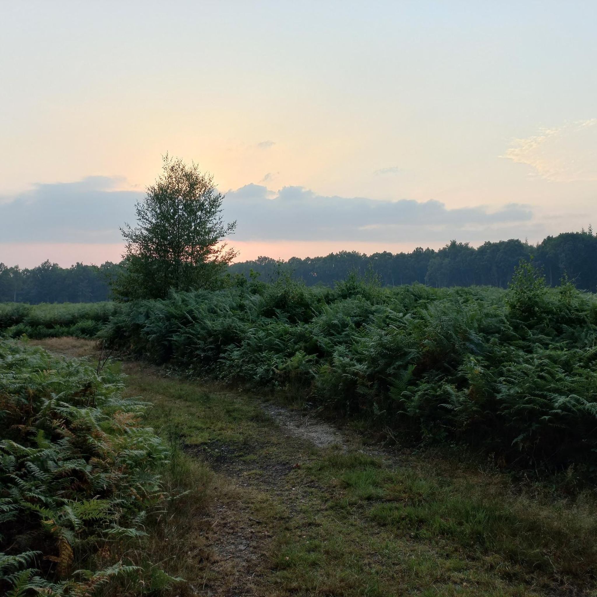
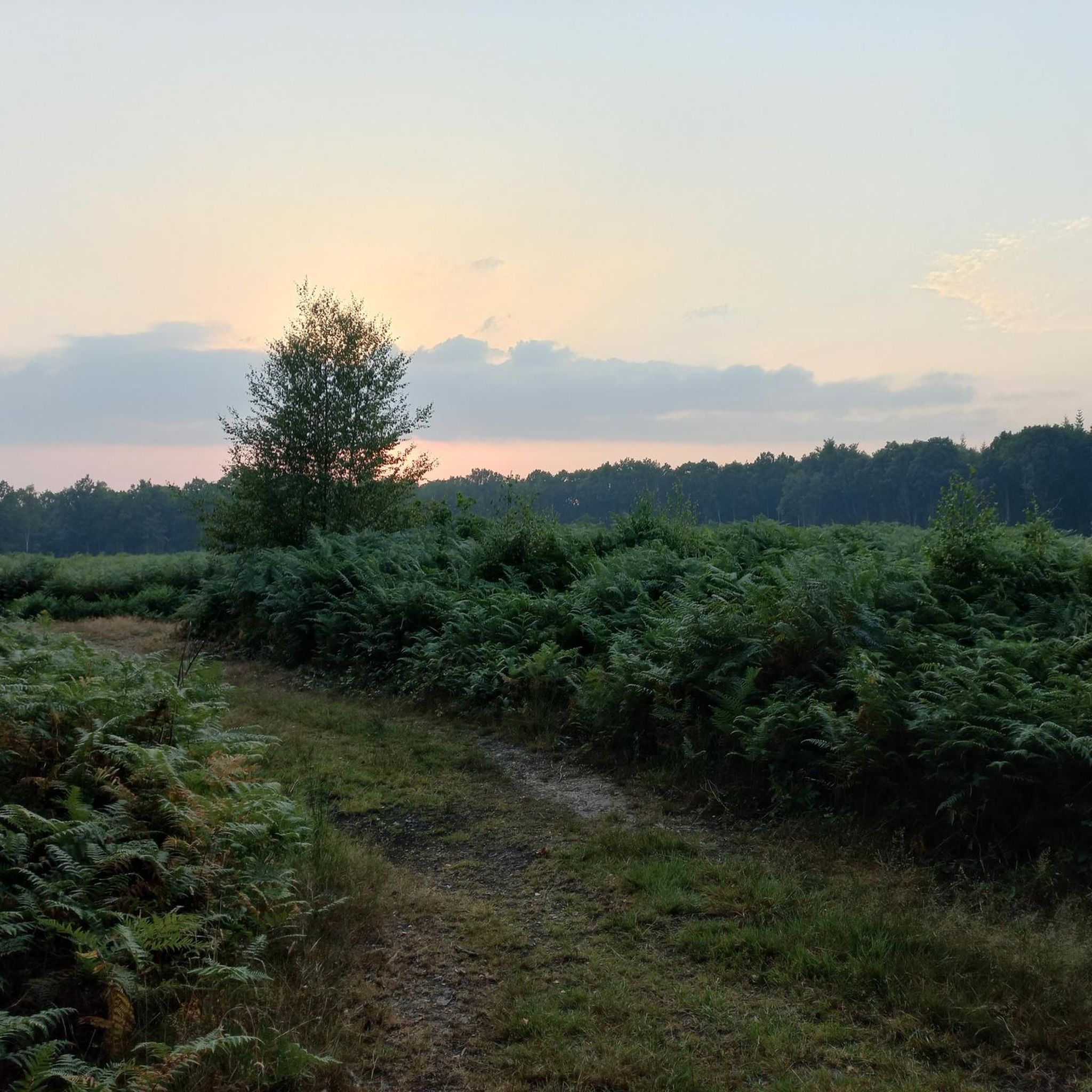
Hiking around Blangy-Le-Château offers picturesque views of the Pays d'Auge region in Normandy. You'll traverse rolling hills, peaceful woodlands, agricultural fields, and meandering streams. Many paths also pass through charming small hamlets, providing a mix of natural beauty and local character.
Are there circular hiking routes in Blangy-Le-Château?
Yes, many of the trails around Blangy-Le-Château are circular, allowing you to start and end your hike in the same location. An example is the Wooden Bridge Over the Stream – The Castel loop from Blangy-le-Château, an easy 6.9 km (4.3 miles) route through woodlands and open fields.
What do other hikers say about the trails in Blangy-Le-Château?
The hiking routes in Blangy-Le-Château are highly regarded by the komoot community, with an average rating of 4.5 out of 5 stars from over 170 reviews. Hikers often praise the serene environment, the mix of open countryside and shaded paths, and the well-maintained trails suitable for various fitness levels.
Can I bring my dog on the hiking trails in Blangy-Le-Château?
Generally, dogs are welcome on most public footpaths and trails in the Blangy-Le-Château area, especially if kept on a leash. The varied terrain, including woodlands and open fields, provides a great environment for walks with your canine companion. Always be mindful of local regulations and private property.
What is the best time of year to go hiking in Blangy-Le-Château?
The best time to hike in Blangy-Le-Château is typically from spring through autumn (April to October). During these months, the weather is generally mild and pleasant, and the landscape is vibrant. Spring brings blooming wildflowers, while autumn offers beautiful foliage. Summer is also popular, but trails can be busier.
Are there any interesting landmarks or attractions near the hiking trails?
Yes, the region offers several points of interest. You might consider visiting the charming town of Pont-l'Évêque, or enjoying the Pont-L'Évêque Lake Beach. The Calonne Greenway also offers pleasant paths for walking or cycling.
Are there any longer, more challenging hikes available?
While the area is known for its accessible trails, there are options for longer, moderate hikes. The The Castel – Wooden Bridge Over the Stream loop from Le Brévedent is a moderate 9.9 km (6.2 miles) trail that takes around 2 hours 45 minutes, featuring a good mix of open countryside and shaded paths.
Is public transport an option for reaching trailheads in Blangy-Le-Château?
Public transport options directly to specific trailheads within Blangy-Le-Château can be limited, as it is a rural area. It's often more convenient to reach the region by car, especially if you plan to explore multiple routes. Some local bus services might connect to larger towns nearby, from which you could potentially access the area.
What should I bring for a hike in Blangy-Le-Château?
For hiking in Blangy-Le-Château, it's advisable to wear comfortable walking shoes suitable for varied terrain, as paths can be a mix of paved and unpaved surfaces. Bring water, snacks, and appropriate clothing layers for changing weather. A map or a GPS device (like the komoot app) is also recommended for navigation, especially on longer routes.
Are there any hikes that pass by water features or streams?
Yes, the landscape around Blangy-Le-Château is characterized by meandering streams and small water features. Routes like the Wooden Bridge Over the Stream loop from Le Brévedent specifically highlight these elements, offering pleasant views of the local flora and water.
Most popular routes around Blangy-Le-Château
Most popular attractions around Blangy-Le-Château

Get inspired with the komoot mobile app


Explore more
Browse the best Hikes in other regions.
