The best walks and hikes around Colayrac-Saint-Cirq
4.5
(231)
1,544
hikers
134
hikes
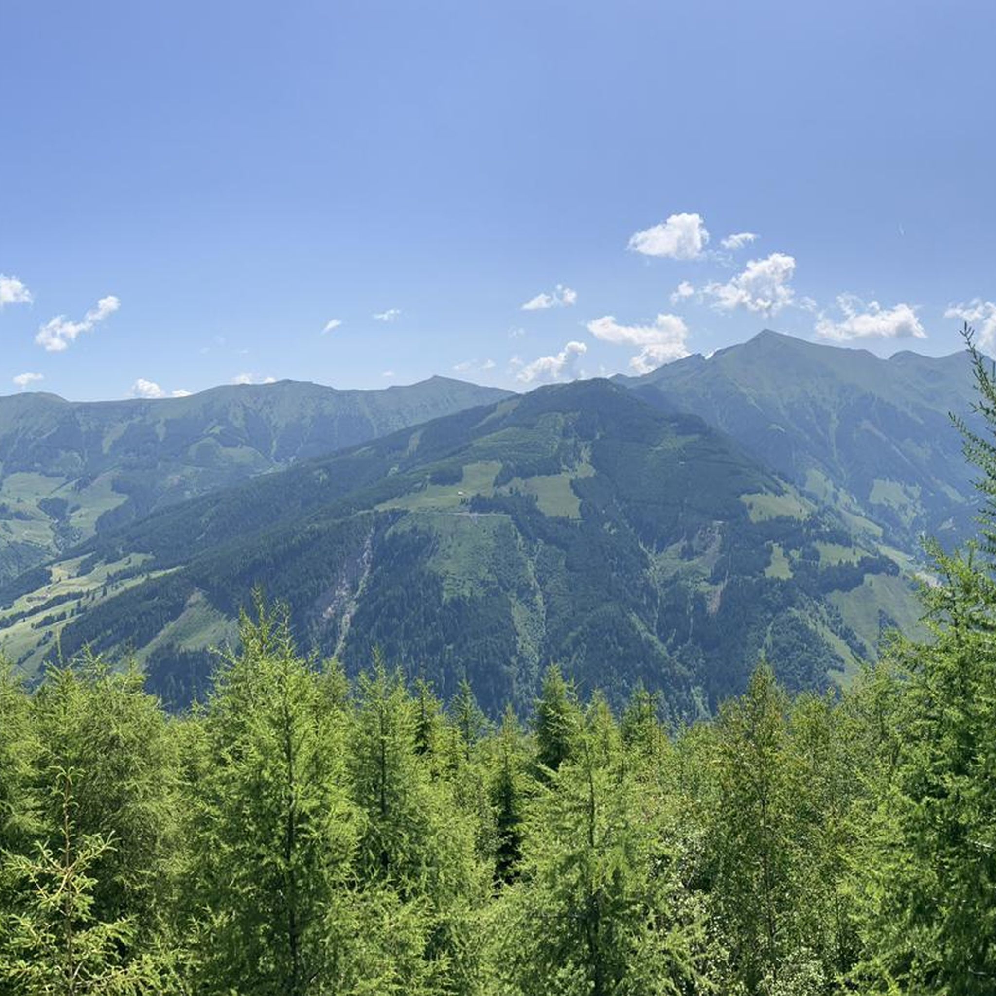
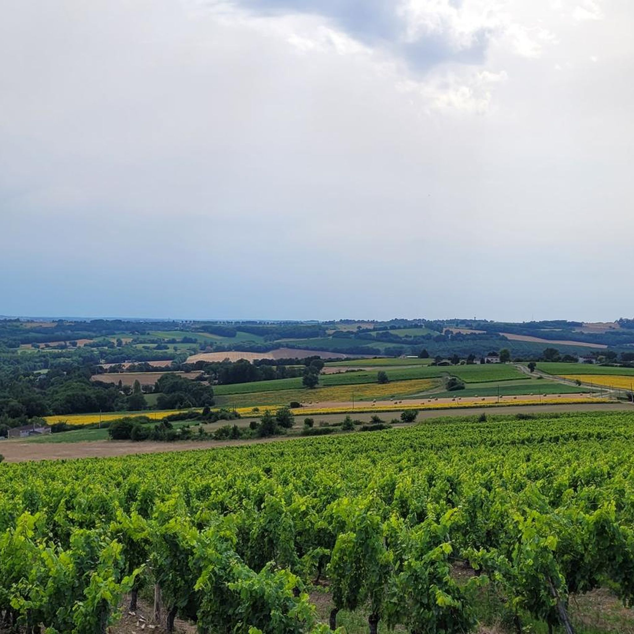
Hiking around Colayrac-Saint-Cirq offers varied terrain within the Lot-et-Garonne department of Nouvelle-Aquitaine, France. The region is characterized by its "Agen hills" and diverse landscapes, including forests, wooded hills, orchards, and vineyards. Hikers can expect paths with views of the Garonne Valley, a prominent natural feature. The altitude in the area ranges from 36 to 191 meters, contributing to the varied topography of the hiking routes.
Best hiking trails around Colayrac-Saint-Cirq
- The most popular hiking route is Agen Aqueduct – Ecluse…
Last updated: September 1, 2026
3.0
(2)
26
hikers
12.0km
03:22
240m
240m
Moderate hike. Good fitness required. Easily-accessible paths. Suitable for all skill levels.
4.5
(2)
28
hikers
10.5km
02:53
170m
170m
Moderate hike. Good fitness required. Easily-accessible paths. Suitable for all skill levels.

Sign up for free
4.0
(1)
25
hikers
8.23km
02:06
30m
30m
Moderate hike. Good fitness required. Easily-accessible paths. Suitable for all skill levels.
5.0
(3)
28
hikers
10.8km
02:44
30m
30m
Moderate hike. Good fitness required. Easily-accessible paths. Suitable for all skill levels.
1.0
(1)
8
hikers
9.91km
02:30
20m
20m
Moderate hike. Good fitness required. Easily-accessible paths. Suitable for all skill levels.
Get access to more routes and recommendations from other explorers.
Sign up for free
Already have an account?
Our route recommendations are based on thousands of hikes, rides, and runs completed by other people on komoot.
Start today with a free account
Your next adventure awaits.
Login or Signup

Tips from the Community

At the time of Saint Francis of Assisi's death in 1226, the Order of Friars Minor had 240 convents, 60 of which were located throughout Aquitaine. Since some of the documents of the Cordeliers convent in Agen were destroyed during the Protestant occupation of the city, the exact date of the first convent's founding is unknown. Father B. Villate wrote in 1715 to the Bishop of Agen, François Hébert, that it was founded in 1291. But elsewhere, we know that the Cordeliers convent was founded after that of the Jacobins and before that of the Carmelites, that is, between 1240 and 1272. Bishop Pierre Jerlandi was buried in the Cordeliers church in 1271. In his will dated July 25, 1262, Amanieu d'Albret bequeathed "als frais Menors d'Agen, dus cens sols." We can therefore assume that the Cordeliers had settled in Agen before 1262. [1] Their first convent was established outside the city walls, near the Saint-Michel gate, probably in front of the Saint-Louis gate, in the enclosure of the Discalced Carmelites where tombs were found by the Discalced Carmelite Fathers, that is to say, between the streets Palissy, Mascaron, Lamouroux and the Garonne. The donations received led to the Cordeliers' convent being called the Golden Convent. For Abbot Barrère, the nickname Doré would not come from the wealth of the convent but from an alteration of the name Dovère which was given by the archbishops of Bourges to several of their houses and monasteries. This would be due to a chapel founded in the 9th century nearby by a Randulphe de Bourges. The church must have been as large as the Jacobin Church because it was here that homage was paid by the nobility and communities of the Agenais to King Edward I of England in 1286. In 1336, Philip VI of Valois, considering that the Cordeliers convent, leaning against the city walls, could be a danger in the event of a conflict with the King of England, decided to seize it and build a fortress there. He obtained permission from Pope Benedict XII on the condition that a new convent be established within the walls. Demolition of the convent began in 1338. The Friars Minor initially settled near the Church of Notre-Dame-du-Bourg but encountered hostility from the canons of Saint-Étienne Cathedral. No longer having premises in Agen, the Friars Minor appealed to the King of France. His son, Prince Jean, while in Guyenne at the time, had the destroyed convent appraised and ordered them to be paid the estimated value of 5,000 livres tournois. This sum, supplemented by other gifts, allowed them to initially settle in the Saint-Georges Hospital. However, a conflict with the Augustinians, who found them too close to their convent, forced them to move away and settle in 1345 in the Saint-Hilaire district, near the Saint-Georges Gate. To appease the criticism of the canons of Saint-Étienne, the Friars Minor gave them the marble from their first cloister. The construction of their church was completed in 1348, as on that date the Cordeliers obtained permission from the Bishop of Agen, Amanieu de Fargis, to have their cemetery blessed by Brother Philippe (Filippo de Ursone), Bishop of Ajaccio. The church follows the traditional plan of southern Gothic churches. It has a wide, single nave without a transept and is lined with shallow side chapels. It is built in half stone and half brick. It comprises three bays with ribbed vaults. The apse has seven sides. Its most interesting and remarkable feature is the inverted hull-shaped roof structure of a boat.[5] The old Cordeliers church had only a small square bell tower. The church's large windows were fitted with stained-glass windows. They are dated 1869. One of the windows bears the signature of Bordeaux master glassmaker Joseph Villiet.
0
0
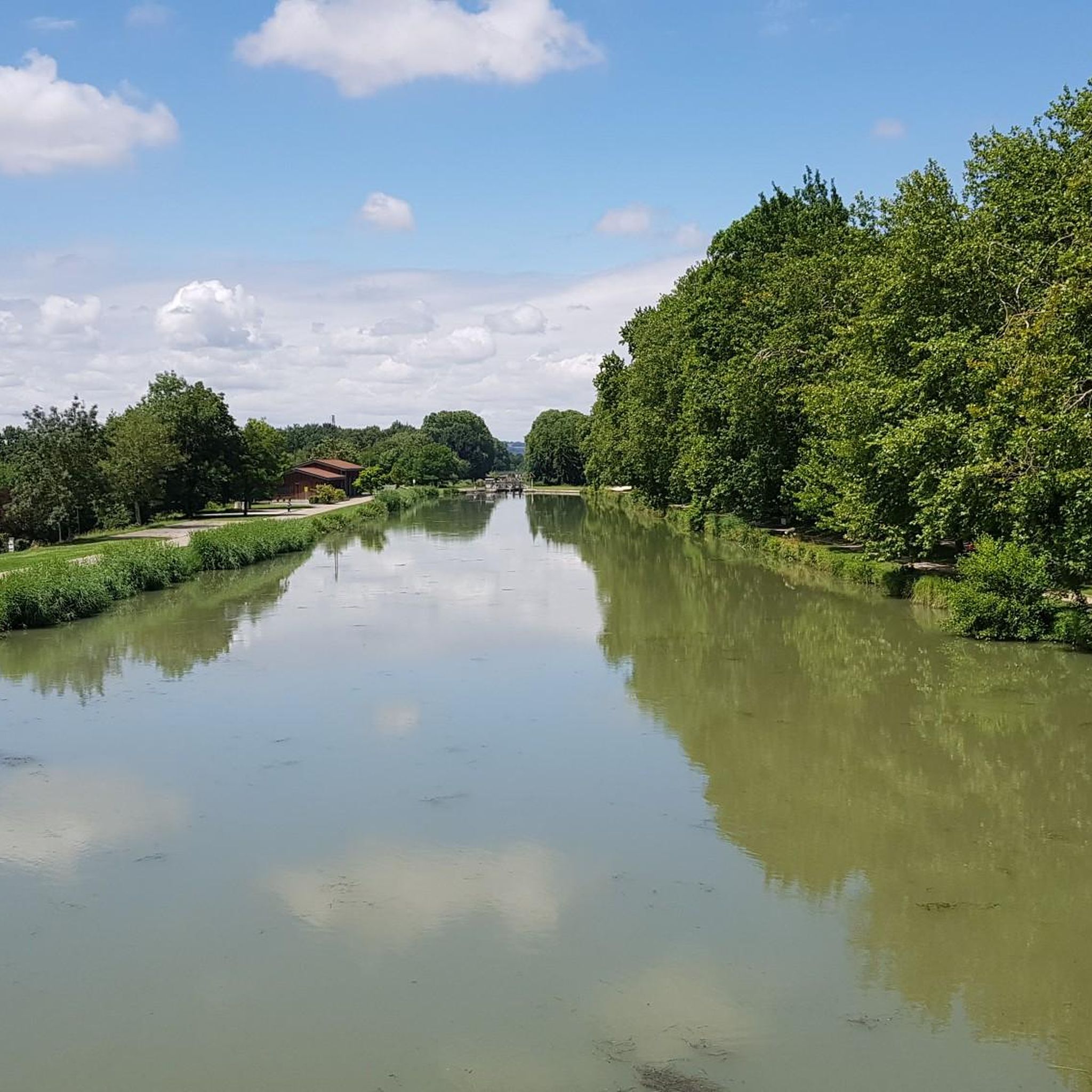
Construction of the Agen canal bridge was almost halted permanently due to competition from waterways and the railway. Its history is, of course, closely linked to that of the entire Canal Lateral. On August 25, 1839, the foundation stone was laid by the Duke of Orléans, eldest son of Louis-Philippe, and Princess Helene of Mecklenburg, his wife. In 1841, work was halted. The bridge would be used for a time by farmers' carts to avoid a detour via the old stone bridge. On May 5, 1846, a law mandated the resumption of work, and the bridge was completed in 1847. But that wasn't the end of the worries. This bridge could perhaps have become a railway bridge: In 1850, those who exclusively supported the railway raised the question of filling in the canal cut (in its entirety) to lay the tracks. It wasn't until March 1856 that the entire Garonne lateral canal was completed. This bridge itself is 539 meters long, 12.48 meters wide, 2.70 meters deep, and has 23 arches. The waterway is 8.80 meters wide, which prevents crossings. Holding basins were built on either side of the aqueduct. The civil engineers Jean-Baptiste de Baudre and Jean Gratien de Job were responsible for its construction. It is made entirely of freestone from Quercy.
0
0

A must-stop to have a drink, eat, sleep, get your bike repaired or buy local products. Everything is designed around cycling in a magnificent place. See their website for details. https://cafe-velo.net/
0
0


Cafe, restaurant and hostel especially for cyclist.
0
0

I'm sorry but the river port of Agen no longer has any influence on the transport of goods and the rental of small boats has been moved to the much more active port of Buzet sur Baïse.
1
0

Spectacular canal bridge over the Garonne
3
0

I slept one night at Café Vélo. Great experience! A youth hostel style located right on the edge of the Canal des Deux-Mers. I recommend ;)
0
0
Frequently Asked Questions
How many hiking trails are available around Colayrac-Saint-Cirq?
There are over 150 hiking routes available around Colayrac-Saint-Cirq, offering a wide range of options for different skill levels. You'll find approximately 70 easy routes, 75 moderate routes, and a few more challenging trails.
What kind of landscapes can I expect to see while hiking in Colayrac-Saint-Cirq?
The region around Colayrac-Saint-Cirq is characterized by its varied 'Agen hills' and diverse landscapes. Hikers can expect vast panoramas and shaded paths, with stunning views of the Garonne Valley. The terrain includes lovely forests, wooded hills, orchards, market gardens, and vineyards, providing a rich and changing scenery.
Are there any easy, family-friendly walks in the area?
Yes, there are many easy routes suitable for families. For instance, the Ecluse – Fresonis loop from Colayrac-Saint-Cirq is an easy option. The 'Petite boucle de Puymasson' mentioned in local research is also known for being suitable for families with young children, offering pleasant forest sections and views of the Garonne Valley.
What are some notable landmarks or attractions I might encounter on a hike?
Many trails offer views of significant local features. You might see the Agen Aqueduct or the Agen Canal Bridge on routes along the Garonne. The Château de Madaillan can also be viewed from certain paths, and the 'Boucle à Sainte-Colombe-en-Bruilhois' passes by the Mourrens church and the restored fountain and washhouse of Au Rou.
What do other hikers say about the trails in Colayrac-Saint-Cirq?
The hiking routes in Colayrac-Saint-Cirq are highly rated by the komoot community, with an average score of 4.5 stars from nearly 200 reviews. Hikers often praise the varied terrain, the beautiful views of the Garonne Valley, and the peaceful agricultural landscapes.
Are there any circular hiking routes available?
Yes, many routes in the area are circular. Examples include the Agen Aqueduct – Ecluse loop from Agen, the Quai Georges Leygues – Lateral canal bridge loop from Agen, and the Quai Georges Leygues – Agen Aqueduct loop from Agen. These loops allow you to start and end your hike in the same location.
What is the best time of year to go hiking in Colayrac-Saint-Cirq?
The region offers pleasant hiking conditions through much of the year. Spring and autumn are particularly ideal, with comfortable temperatures and vibrant natural colors in the orchards and vineyards. Summer can also be enjoyable, especially on routes with shaded paths through forests.
Are there any trails that offer views of the Garonne River?
Absolutely. The Garonne Valley is a prominent natural feature of the region, and many trails provide stunning views of the river. Routes like the Agen Aqueduct – Ecluse loop from Agen offer direct views along the Garonne River and its aqueduct.
What is the typical elevation gain on hikes in this area?
The altitude in Colayrac-Saint-Cirq ranges from 36 to 191 meters, contributing to varied topography. While some routes like the Ecluse – Fresonis loop from Colayrac-Saint-Cirq have minimal elevation gain (around 12 meters), others, such as the 'Colayrac-Saint-Cirq, randonnée dans les collines Agenaises' circuit, can have a cumulative elevation gain of up to 440 meters, offering more challenging ascents.
Can I find trails that pass through vineyards or orchards?
Yes, the agricultural landscapes are a key characteristic of the region. Many trails, such as the 'Boucle à Sainte-Colombe-en-Bruilhois,' pass through fruit orchards and vineyards, offering a scenic and immersive experience of the local agriculture.
Are there any specific trails known for their panoramic views?
Several trails are known for their expansive views. The 'Colayrac-Saint-Cirq, randonnée dans les collines Agenaises' circuit offers vast panoramas. Additionally, the 'Colayrac-Saint-Cirq de bas en haut' route leads to a plateau with views of the Château de Madaillan, and the 'Petite boucle de Puymasson' provides beautiful views of the Garonne Valley.
What is the average duration for a hike in Colayrac-Saint-Cirq?
Hiking durations vary widely depending on the route's length and difficulty. For example, an easy route like the Agen Aqueduct – Ecluse loop from Agen (7.9 km) takes about 2 hours. Longer, moderate trails such as the Quai Georges Leygues – Lateral canal bridge loop from Agen (12.8 km) can take over 4 hours.
Most popular routes around Colayrac-Saint-Cirq
Most popular attractions around Colayrac-Saint-Cirq

Get inspired with the komoot mobile app


Explore more
Browse the best Hikes in other regions.
