The best walks and hikes around Thourie
4.5
(75)
376
hikers
20
hikes
Hiking around Thourie offers a network of trails characterized by gentle rolling terrain and a mix of rural landscapes. The region features numerous ponds and small woodlands, providing varied scenery for outdoor activities. Elevation gains are generally modest, making many routes accessible for different fitness levels. The area's trails often follow quiet country paths and offer opportunities to explore local natural features.
Best hiking trails around Thourie
- The most popular hiking route is Rigaudière loop from Le Theil-de-Bretagne, a…
Last updated: May 21, 2026
4.5
(13)
48
hikers
10.4km
02:45
90m
90m
Moderate hike. Good fitness required. Easily-accessible paths. Suitable for all skill levels.
4.8
(4)
11
hikers
6.88km
01:48
50m
50m
Easy hike. Great for any fitness level. Easily-accessible paths. Suitable for all skill levels.

Sign up for free
9
hikers
11.5km
03:02
110m
110m
Moderate hike. Good fitness required. Easily-accessible paths. Suitable for all skill levels.
5.0
(1)
8
hikers
9.30km
02:28
90m
90m
Moderate hike. Good fitness required. Easily-accessible paths. Suitable for all skill levels.
7
hikers
11.7km
03:04
90m
90m
Moderate hike. Good fitness required. Easily-accessible paths. Suitable for all skill levels.
Get access to more routes and recommendations from other explorers.
Sign up for free
Already have an account?
Our route recommendations are based on thousands of hikes, rides, and runs completed by other people on komoot.
Start today with a free account
Your next adventure awaits.
Login or Signup



Tips from the Community

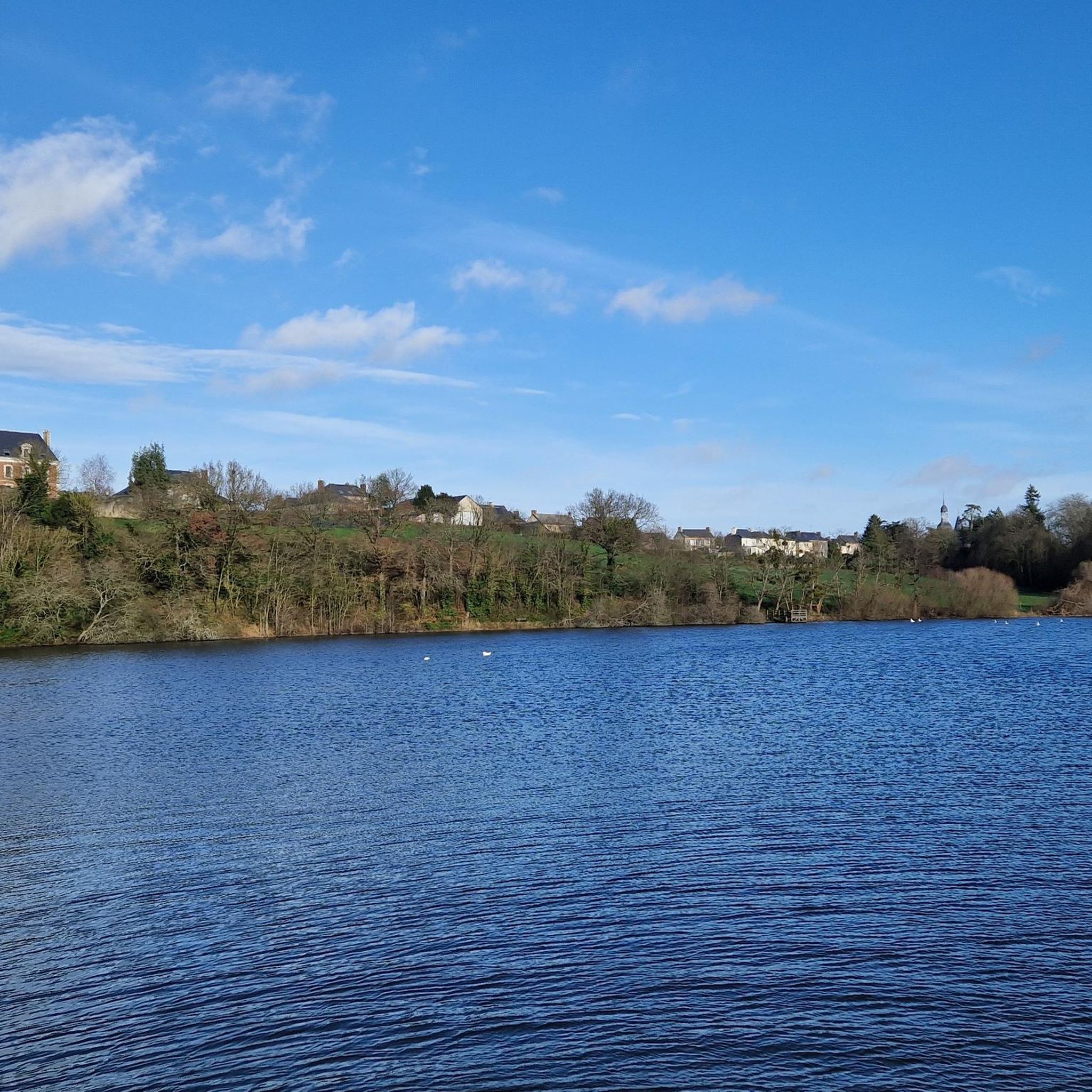
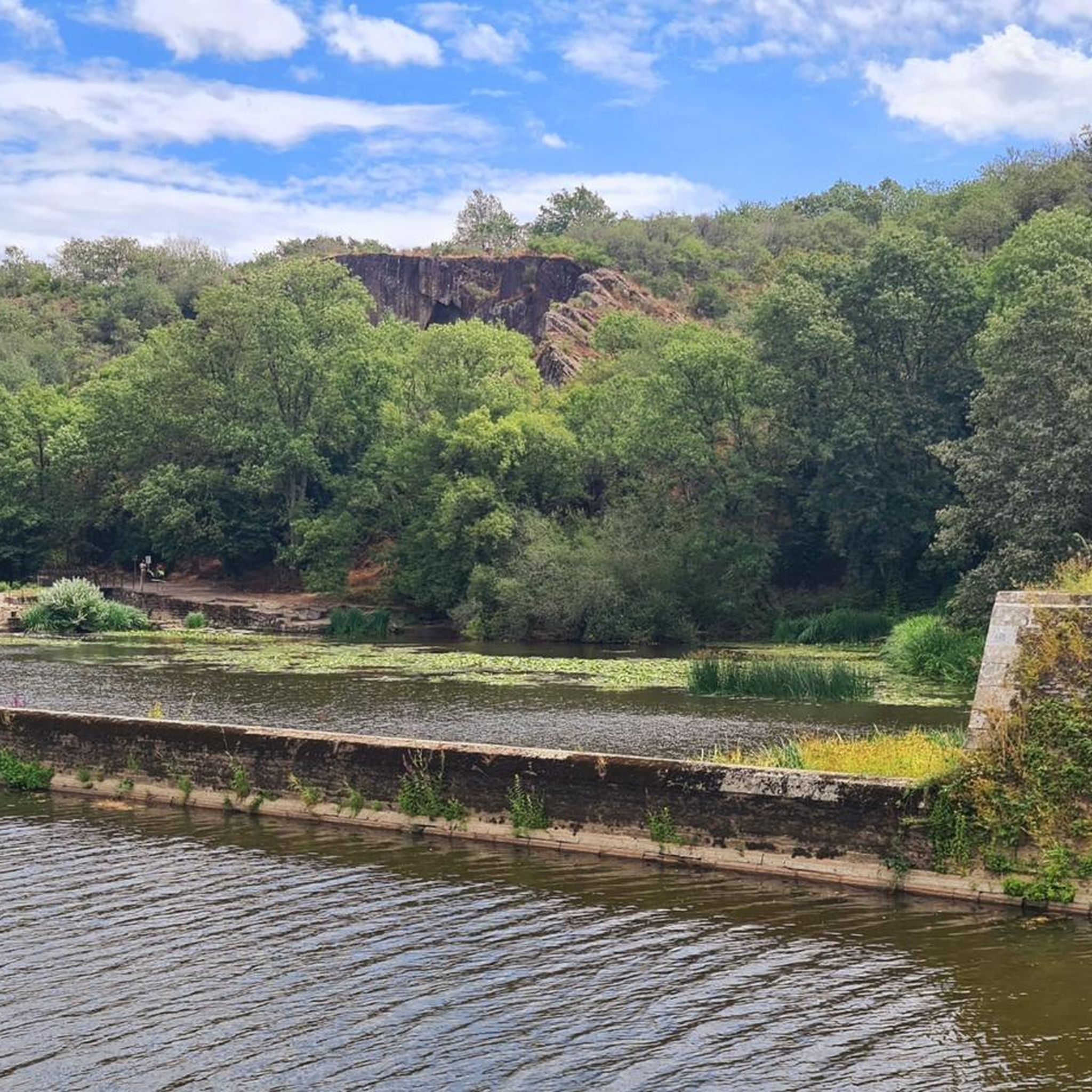
A small lake with a lovingly designed small animal enclosure. Many tables and benches invite you to a picnic in the countryside.
2
0
Frequently Asked Questions
How many hiking trails are available around Thourie?
Thourie offers a good selection of hiking opportunities, with over 20 trails available. These routes cater to various fitness levels, ranging from easy strolls to more moderate excursions.
What is the general difficulty level of hikes in Thourie?
The hiking trails around Thourie are predominantly easy to moderate. There are 6 easy routes, 13 moderate routes, and 1 more challenging trail, ensuring options for different abilities. The terrain generally features gentle rolling hills and modest elevation changes.
What do other hikers say about the trails in Thourie?
The trails in Thourie are highly regarded by the komoot community, holding an average rating of 4.5 stars from over 60 reviews. Hikers frequently praise the peaceful rural landscapes, the presence of numerous ponds, and the well-maintained paths that offer varied scenery.
Are there easy hiking routes suitable for beginners in Thourie?
Yes, Thourie is very welcoming for beginners. There are 6 easy routes available, characterized by minimal elevation changes and well-defined paths. A great option is the Charmes loop from Tresbœuf, an easy 4.3-mile (6.9 km) path winding through rural landscapes.
Are there any circular walks around Thourie?
Yes, many of the trails in Thourie are circular, allowing you to start and end at the same point. Popular circular routes include the Rigaudière loop from Le Theil-de-Bretagne, a 6.5-mile (10.4 km) moderate trail, and the Thourie pond loop from Thourie, which is 5.8 miles (9.3 km).
Can I bring my dog on the hiking trails in Thourie?
Generally, dogs are welcome on hiking trails in rural areas like Thourie, especially on public footpaths and country lanes. However, it's always best to keep them on a leash, especially near livestock or in nature reserve areas, and to clean up after them. Check local signage for any specific restrictions.
Are the hiking trails in Thourie suitable for families with children?
Many trails in Thourie are suitable for families, particularly the easy and moderate routes with their gentle terrain and modest distances. The presence of ponds and woodlands offers engaging scenery for younger hikers. The Charmes loop from Tresbœuf is an excellent easy option for families.
What kind of landscapes can I expect to see while hiking in Thourie?
Hiking in Thourie offers a diverse landscape characterized by gentle rolling terrain, numerous ponds, and small woodlands. You'll primarily experience quiet rural paths, agricultural fields, and charming natural features, providing a peaceful and varied outdoor experience.
Are there any notable landmarks or attractions to see while hiking near Thourie?
While hiking near Thourie, you can explore several interesting points. The ancient megalithic site of La Roche-aux-Fées Dolmen is a significant historical attraction. You might also encounter parts of the Greenway from Châteaubriant to Rougé, which offers pleasant walking sections.
What is the best time of year to go hiking in Thourie?
Spring and autumn are generally the best times for hiking in Thourie. In spring, the countryside is lush and green, with pleasant temperatures. Autumn offers beautiful foliage and comfortable conditions. Summer can also be enjoyable, but it's advisable to hike in the mornings or evenings to avoid the midday heat.
Are there any longer, more challenging hikes in the Thourie area?
While most trails are easy to moderate, there is one designated difficult route for those seeking a greater challenge. For a longer moderate option, consider the Étang de Boispéan loop from Fercé, which spans over 7.6 miles (12.4 km) and features slightly more elevation gain.
Are there any trails that feature ponds or water bodies?
Yes, the region around Thourie is known for its numerous ponds. Many trails incorporate these water features into their routes, offering picturesque views. A prime example is the Thourie pond loop from Thourie, which specifically explores the area around Thourie pond.
Most popular attractions around Thourie

Get inspired with the komoot mobile app


Explore more
Browse the best Hikes in other regions.
