The best walks and hikes around Griselles
4.6
(30)
136
hikers
14
hikes
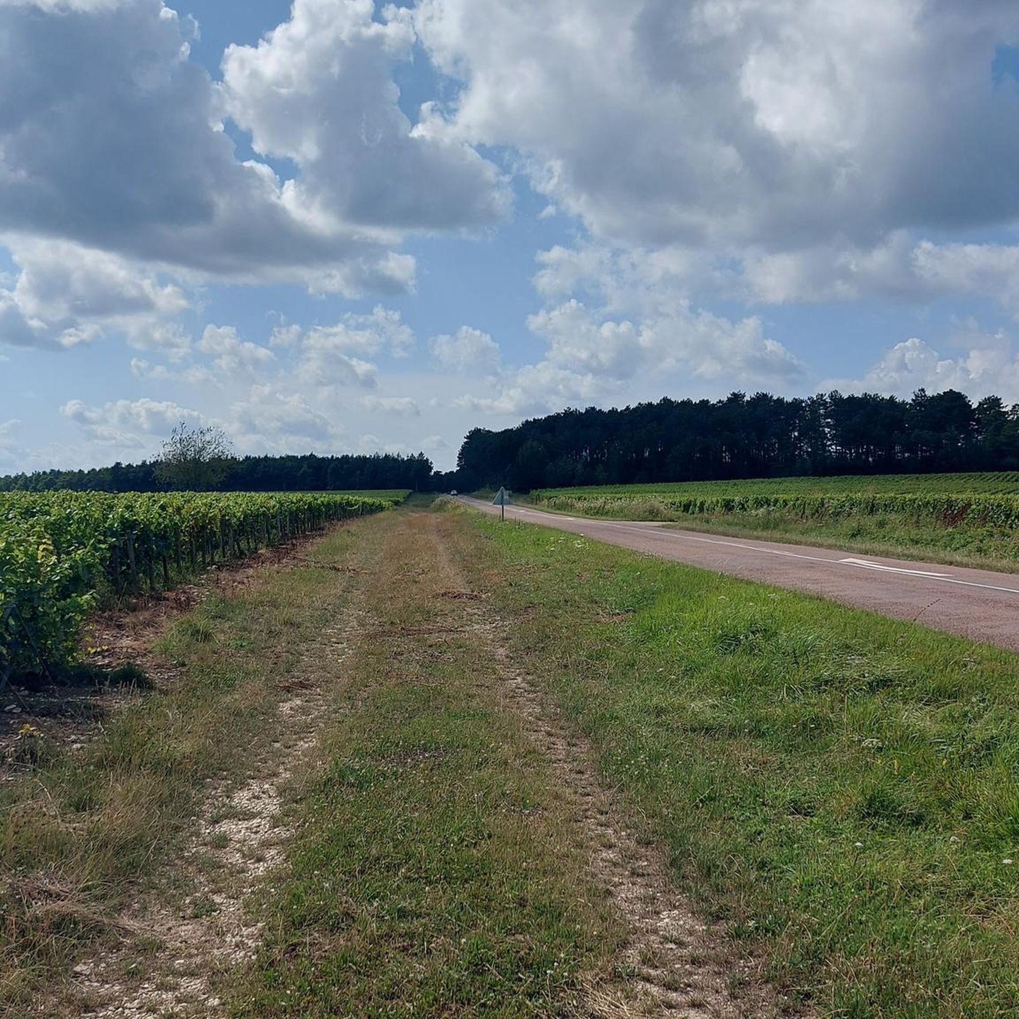
Hiking around Griselles offers diverse routes through the picturesque Gâtinais region, characterized by a blend of agricultural landscapes, significant forests, and historical waterways. The area is shaped by the Cléry river valley, which flows through the commune, and a substantial portion of the Montargis forest. This varied terrain includes woods, agricultural lands, sand, and sandstone, providing a rich natural environment for outdoor activities.
Best hiking trails around Griselles
- The most popular hiking route is Lac de Marcenay — loop,…
Last updated: July 5, 2026
4.5
(2)
8
hikers
15.8km
04:13
170m
170m
Moderate hike. Good fitness required. Mostly accessible paths. Sure-footedness required.
3.8
(10)
64
hikers
4.05km
01:02
10m
10m
Easy hike. Great for any fitness level. Easily-accessible paths. Suitable for all skill levels.

Sign up for free
5.0
(2)
9
hikers
10.1km
02:43
140m
140m
Moderate hike. Good fitness required. Easily-accessible paths. Suitable for all skill levels.
4.8
(5)
6
hikers
6.48km
01:52
160m
160m
Easy hike. Great for any fitness level. Easily-accessible paths. Suitable for all skill levels.
5.0
(2)
6
hikers
17.7km
04:53
290m
290m
Moderate hike. Good fitness required. Easily-accessible paths. Suitable for all skill levels.
Get access to more routes and recommendations from other explorers.
Sign up for free
Already have an account?
Our route recommendations are based on thousands of hikes, rides, and runs completed by other people on komoot.
Start today with a free account
Your next adventure awaits.
Login or Signup



Tips from the Community

Lac de Marcenay is artificial and was actually created by monks in 1239 for fish farming! There is also a blast furnace dating from the 18th century.
2
0
Frequently Asked Questions
What kind of hiking trails can I expect around Griselles?
Griselles offers a diverse range of hiking trails through the picturesque Gâtinais region. You'll find routes winding through the significant Forest of Montargis, along the meandering Cléry river valley, and across agricultural landscapes. There are 16 recorded routes, with an even split of 8 easy and 8 moderate options, ensuring something for various fitness levels.
Are there family-friendly hiking trails in Griselles?
Yes, Griselles has several easy trails suitable for families. For instance, the Château de Larrey loop from Poinçon-lès-Larrey is an easy 4.0-mile (6.5 km) path that explores local heritage and varied countryside, perfect for a leisurely family outing. Many of the paths through the Montargis forest are also gentle and well-suited for all ages.
Can I bring my dog on the trails around Griselles?
Generally, dogs are welcome on most hiking trails in the Griselles area, especially within the Forest of Montargis and along the Cléry river. It's always recommended to keep your dog on a leash, particularly in forested areas to protect wildlife and in agricultural zones out of respect for local farmers. Always carry waste bags and ensure your dog is well-behaved.
Are there many circular hiking routes available?
Yes, many of the hiking opportunities around Griselles are designed as circular routes, allowing you to start and end at the same point. Popular examples include the Lac de Marcenay — loop, which is 9.8 miles (15.8 km), and the shorter Lac de Marcenay loop from Larrey at 6.2 miles (10.0 km). These loops offer varied scenery without the need for shuttle arrangements.
What natural landmarks or scenic viewpoints can I discover on hikes near Griselles?
Hiking in Griselles offers views of several natural features. You'll traverse parts of the extensive Forest of Montargis, known for its pine and oak trees. The trails also follow the picturesque Cléry river valley, which is classified as a 1st category waterway. The area is characterized by its blend of woodlands, agricultural lands, and sandstone formations, offering diverse natural beauty.
Are there any historical sites or cultural points of interest along the hiking trails?
Absolutely. The region is rich in history. The local 'Chemin des Moulins et des Châteaux' (Path of Mills and Castles) is a recommended route that takes hikers past historic mills like the remarkably preserved Moulin de Tosset. You can also see the Gothic Pont du Gril, originally built in the 12th century, and the ancient ferme de Courvilaine. The Château de Larrey loop from Poinçon-lès-Larrey also passes by the historic Château de Larrey.
Where can I find parking for hiking trails in Griselles?
While specific parking areas for every trailhead aren't detailed, Griselles and its surrounding villages typically offer public parking options. For routes like those around Lac de Marcenay, you can often find parking near the lake itself or in the nearby hamlets of Marcenay or Larrey. For trails starting directly in Griselles, parking is usually available within the commune.
Is it possible to reach hiking trailheads in Griselles using public transport?
Griselles is a small commune, and direct public transport to specific trailheads might be limited. However, its proximity to Montargis, a larger town with more public transport connections, means you could potentially reach Griselles via bus from Montargis. From Griselles village, many trails are accessible on foot. It's advisable to check local bus schedules for the most up-to-date information.
What is the best time of year to go hiking in Griselles?
The Gâtinais region, including Griselles, is beautiful for hiking throughout much of the year. Spring (April-June) offers lush greenery and blooming wildflowers, while autumn (September-October) provides stunning fall foliage in the Forest of Montargis. Summer can be pleasant, but it's best to hike in the mornings or late afternoons to avoid the midday heat. Winter hikes are also possible, especially on clear, crisp days, offering a different perspective of the landscape.
Are there places to eat or stay near the hiking trails in Griselles?
Griselles itself is a small village, but you can find local amenities. For more options, the nearby town of Montargis, often called 'the Venice of Gâtinais,' offers a wider selection of cafes, restaurants, and accommodation. Many hikers choose to base themselves in Montargis and travel to Griselles for their outdoor adventures.
How well-maintained are the hiking trails in Griselles?
The trails in Griselles, particularly those within the Forest of Montargis and the renowned GR 13 long-distance footpath that traverses the area, are generally well-maintained. Local loops like the 'Chemin des Moulins et des Châteaux' are also regularly cared for, ensuring clear paths for hikers. The komoot community rates the routes highly, with an average score of 4.6 stars, suggesting positive experiences with trail conditions.
What do other hikers say about the trails in Griselles?
The hiking routes around Griselles are highly rated by the komoot community, with an average score of 4.6 stars from over 30 reviews. Hikers often praise the quiet woodlands, the picturesque Cléry river, and the varied terrain that combines natural beauty with historical points of interest. Many appreciate the well-marked paths and the options available for different ability levels.

Get inspired with the komoot mobile app


Explore more
Browse the best Hikes in other regions.
