The best road cycling routes around Plaimbois-Vennes
4.3
(41)
838
riders
119
rides
Road cycling around Plaimbois-Vennes features a landscape characterized by significant elevation changes, with routes traversing valleys and offering views of rivers. The region presents a mix of rural roads and forested sections, providing varied terrain for cyclists. Routes often include sustained climbs and descents, reflecting the area's hilly topography.
Best road cycling routes around Plaimbois-Vennes
- The most popular road cycling route is On the trails of Louis Pergaud — Loop from Pierrefontaine-les-Varans, a 49.4 miles (79.5 km) trail that…
Last updated: May 21, 2026
5.0
(1)
4
riders
79.5km
04:01
1,150m
1,150m
Hard road ride. Very good fitness required. Mostly well-paved surfaces and easy to ride.
5.0
(3)
26
riders
Moderate road ride. Good fitness required. Mostly well-paved surfaces and easy to ride.

Sign up for free
4.0
(1)
23
riders
39.3km
01:55
530m
530m
Moderate road ride. Good fitness required. Mostly well-paved surfaces and easy to ride.
17
riders
40.6km
01:56
410m
410m
Moderate road ride. Good fitness required. Mostly well-paved surfaces and easy to ride.
13
riders
81.5km
03:59
1,170m
1,170m
Hard road ride. Very good fitness required. Some segments of this route may be unpaved and difficult to ride.
Get access to more routes and recommendations from other explorers.
Sign up for free
Already have an account?
Our route recommendations are based on thousands of hikes, rides, and runs completed by other people on komoot.
Start today with a free account
Your next adventure awaits.
Login or Signup
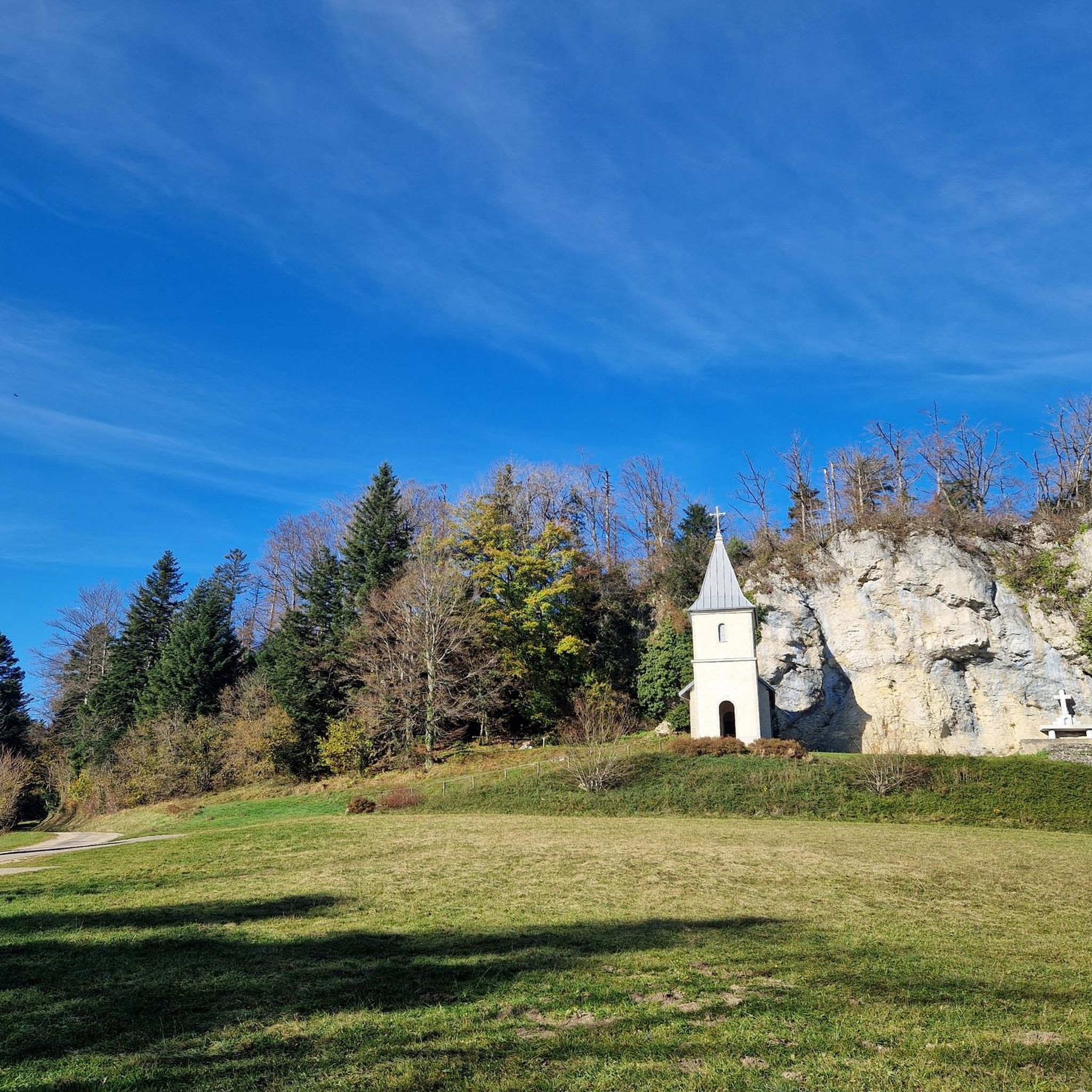
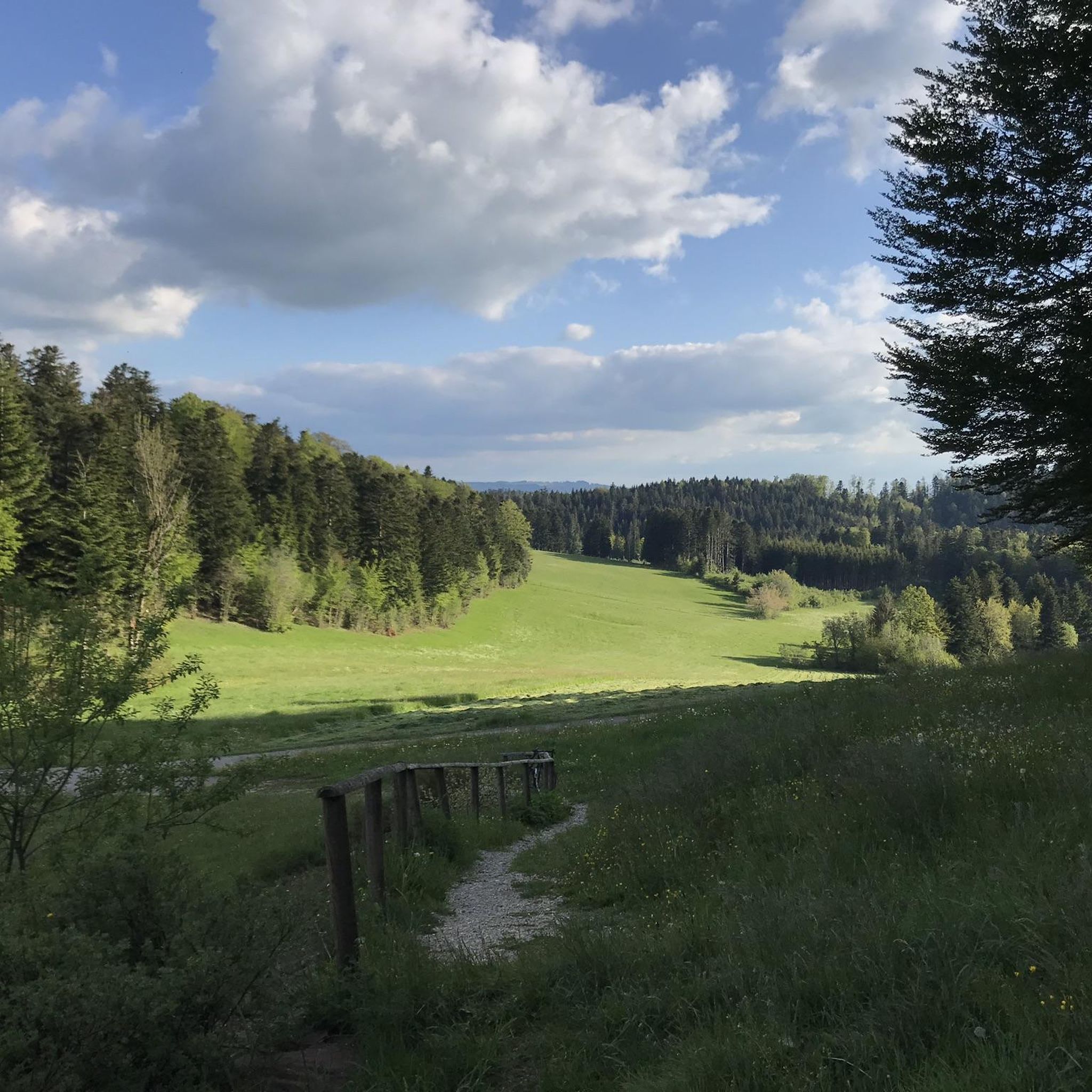



Tips from the Community


Nestled in the Doubs Valley, Saint-Hippolyte is a charming village in Franche-Comté. With its ancient streets and Romanesque church, it offers a peaceful break by the water, surrounded by the lush green landscapes of the Jura.
1
1

Beautifully landscaped space, ideal for a break.
0
0

Saint-Hippolyte is a French commune with 962 inhabitants in the Haut-Rhin department in the European territorial community of Alsace and the Grand Est region. The municipality is a member of the Communauté de communes du Pays de Ribeauvillé.
3
1
Very authentic place. It's really busy during the day. But early in the morning you can still enjoy the quiet atmosphere.
0
0
Memorial to the fallen of the two world wars 🕊️
0
0

A restaurant in the right place, it's worth taking the chance
0
0
Frequently Asked Questions
What are the typical difficulty levels for road cycling routes around Plaimbois-Vennes?
Road cycling routes in Plaimbois-Vennes offer a range of difficulty levels. You can find easy routes, moderate paths, and challenging trails designed for experienced riders. The region's hilly topography means many routes feature sustained climbs and descents.
Are there challenging road cycling routes in Plaimbois-Vennes for experienced riders?
Yes, experienced riders will find several challenging routes. For instance, the On the trails of Louis Pergaud — Loop from Pierrefontaine-les-Varans is a difficult 49.4-mile (79.5 km) trail with significant elevation changes. Another demanding option is the Val de Consolation – View of the Dessoubre River loop from Pierrefontaine-les-Varans, covering 50.6 miles (81.4 km) with over 1100 meters of ascent.
Can beginners find suitable road cycling routes in Plaimbois-Vennes?
While the region is known for its rolling hills, there are easier options available. Out of over 120 routes, 11 are classified as easy, providing a good starting point for beginners to enjoy the rural landscapes without overly strenuous climbs.
What is the typical length of road cycling routes in the Plaimbois-Vennes area?
Route lengths vary significantly. You can find shorter loops, such as the Girardot Mill – Val de Consolation loop from Pierrefontaine-les-Varans at 24.4 miles (39.3 km), as well as longer, more enduring rides like the 50.6-mile (81.4 km) Val de Consolation – View of the Dessoubre River loop from Pierrefontaine-les-Varans.
Are there any circular road cycling routes around Plaimbois-Vennes?
Yes, many of the road cycling routes in the area are designed as loops, allowing you to start and finish at the same point. Examples include the Val de Consolation – Saint-Hippolyte village loop from Pierrefontaine-les-Varans and the Étang – Puits de Cival loop from Loray.
What kind of scenery can I expect on road cycling routes near Plaimbois-Vennes?
The routes offer diverse scenery, characterized by rolling hills, picturesque river valleys, and rural landscapes. You'll often pass through forested sections, charming villages, and enjoy views of rivers like the Dessoubre.
What are some scenic highlights or landmarks to look out for on road cycling routes?
Many routes pass by notable natural and historical sites. You might encounter the impressive Lançot Waterfall, the dramatic Consolation Cirque, or the historic Girardot Mill. There are also several viewpoints like Roche Barchey viewpoint offering panoramic vistas.
Are there any waterfalls accessible or visible from road cycling routes?
Yes, the region is home to beautiful waterfalls. The Lançot Waterfall is a prominent natural attraction that can be incorporated into or viewed from some road cycling routes. You might also find the Source of the Dessoubre, which features a waterfall.
What do other road cyclists enjoy the most about road cycling in Plaimbois-Vennes?
The area is highly rated by the komoot community, with an average score of 4.4 stars from over 40 reviews. Cyclists often praise the varied terrain, the scenic valley views, and the opportunity to explore rural villages and natural landmarks.
How many road cycling routes are available in the Plaimbois-Vennes area?
There are over 120 road cycling routes available around Plaimbois-Vennes, offering a wide variety of distances and difficulty levels to suit different preferences.
Where are common starting points for road cycling routes in Plaimbois-Vennes?
Many popular routes, such as the On the trails of Louis Pergaud and the Val de Consolation – Saint-Hippolyte village loop, commonly start from Pierrefontaine-les-Varans. Other routes might begin from villages like Loray, offering convenient access to the network.
Are there any routes that pass through or near traditional mills?
Yes, the Girardot Mill – Val de Consolation loop from Pierrefontaine-les-Varans specifically leads through picturesque mill and valley landscapes, offering a glimpse into the region's heritage.
Most popular routes around Plaimbois-Vennes
Most popular attractions around Plaimbois-Vennes

Get inspired with the komoot mobile app


Explore more
Browse the best Road cycling routes in other regions.
