Top 9 Mountain Passes around Saint-Martin-De-Bavel
Mountain passes around Saint-Martin-De-Bavel are found in the Ain department of eastern France, a region characterized by rural landscapes, agricultural land, forests, and meadows. The commune itself has an average elevation of 330 meters, reaching a maximum of 442 meters. While Saint-Martin-De-Bavel does not feature significant mountain passes directly within its borders, the surrounding area offers several notable passes for exploration.
Best mountain passes around Saint-Martin-De-Bavel
- The most popular mountain passes is Petit Pertuis Pass, a mountain pass that…
Last updated: May 13, 2026
Col du Grand Colombier
Highlight • Mountain Pass
Showing Translation
Tip by

Ascent of Col du Grand Colombier from Culoz
Highlight (Segment) • Climb
I prefer this side because it allows for the switchbacks that made this pass famous.
Translated by Google •
Tip by

Sign up now to discover places like this
Get recommendations on the best single tracks, peaks, & plenty of other exciting outdoor places.
Sign up for free
Petit Pertuis Pass
Highlight • Mountain Pass
Translated by Google •
Tip by

Col de Ballon (929 m)
Highlight • Mountain Pass
Translated by Google •
Tip by

Charbemènes Pass
Highlight • Mountain Pass
Translated by Google •
Tip by

Sign up for free to discover even more mountain passes around Saint-Martin-De-Bavel.
Sign up for free
Already have an account?
Start today with a free account
Your next adventure awaits.
Login or Signup

Tips from the Community

Officially referenced pass and completely passable by road bike!
1
0

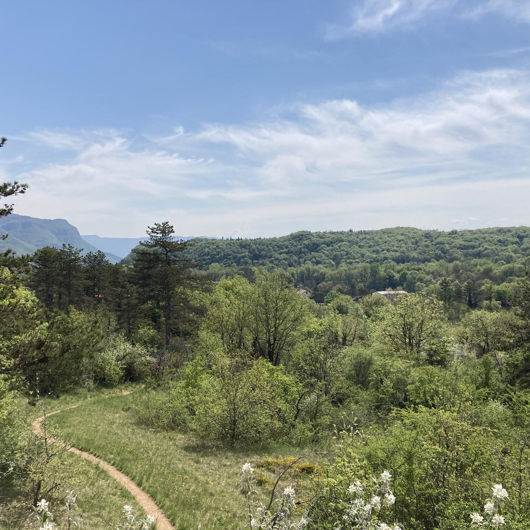
A few kilometers south of the Grand Colombier, this pass at 1316 meters is at the intersection of the Arvière valley, the Grand Colombier and the Sur Lyand ridges.
0
0
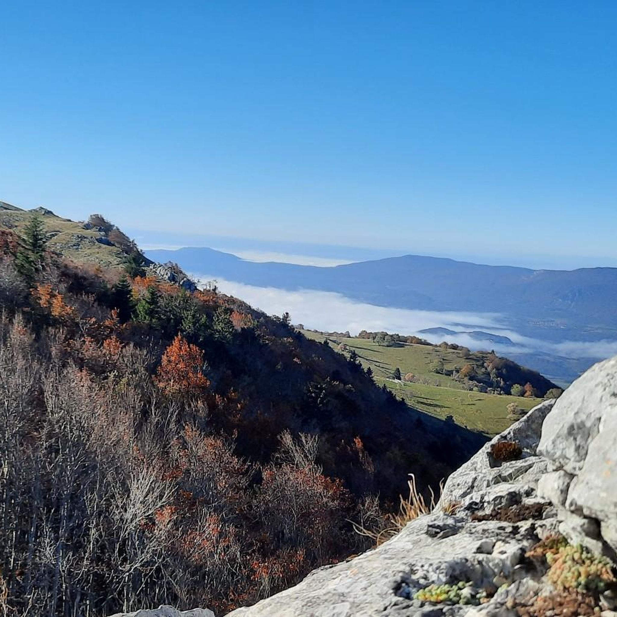
Pass at 929 m altitude, ascent from Virieu-le-Grand or Tenay.
1
0

Every second Saturday in June, July, August and September. from 7 a.m. to 3 p.m., the climb to the Grand Colombier from Culoz is reserved for cyclists, without registration.
3
0

Long and difficult climb, fantastic views along the way. Spicy increase percentages.
5
0
Long and difficult climb, fantastic views along the way. Spicy increase percentages.
4
1

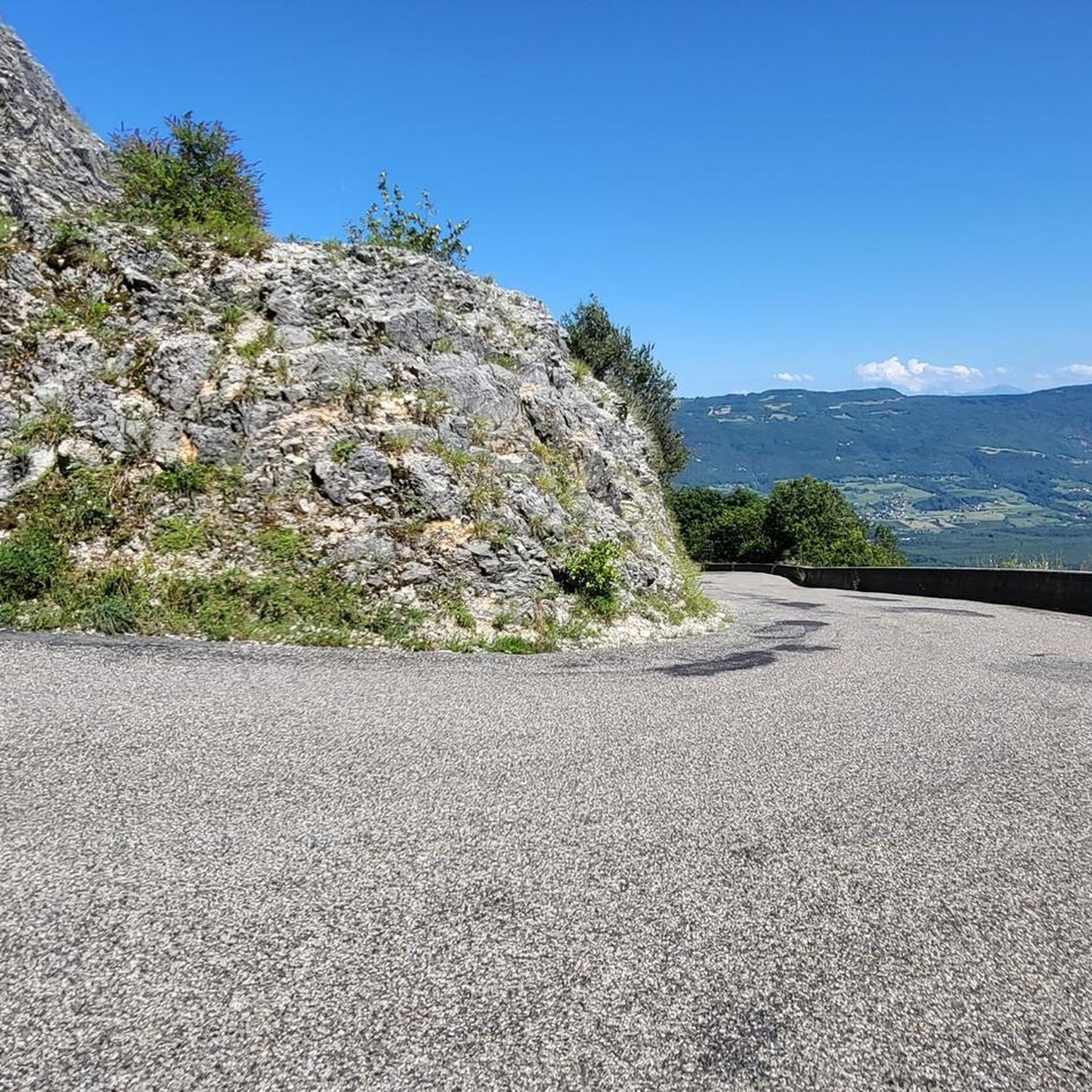
Discovered by the Tour de France, it is now a legendary mountain. I recommend the climb from Culoz with its spectacular hairpin bends and great views of Lac du Bourget. 17 km ascent, partly up to 14% incline, but with 2 longer flat sections that allow some relaxation. Wonderful all-round view at the summit, with snack bar and souvenir shop in the nice season.
3
1

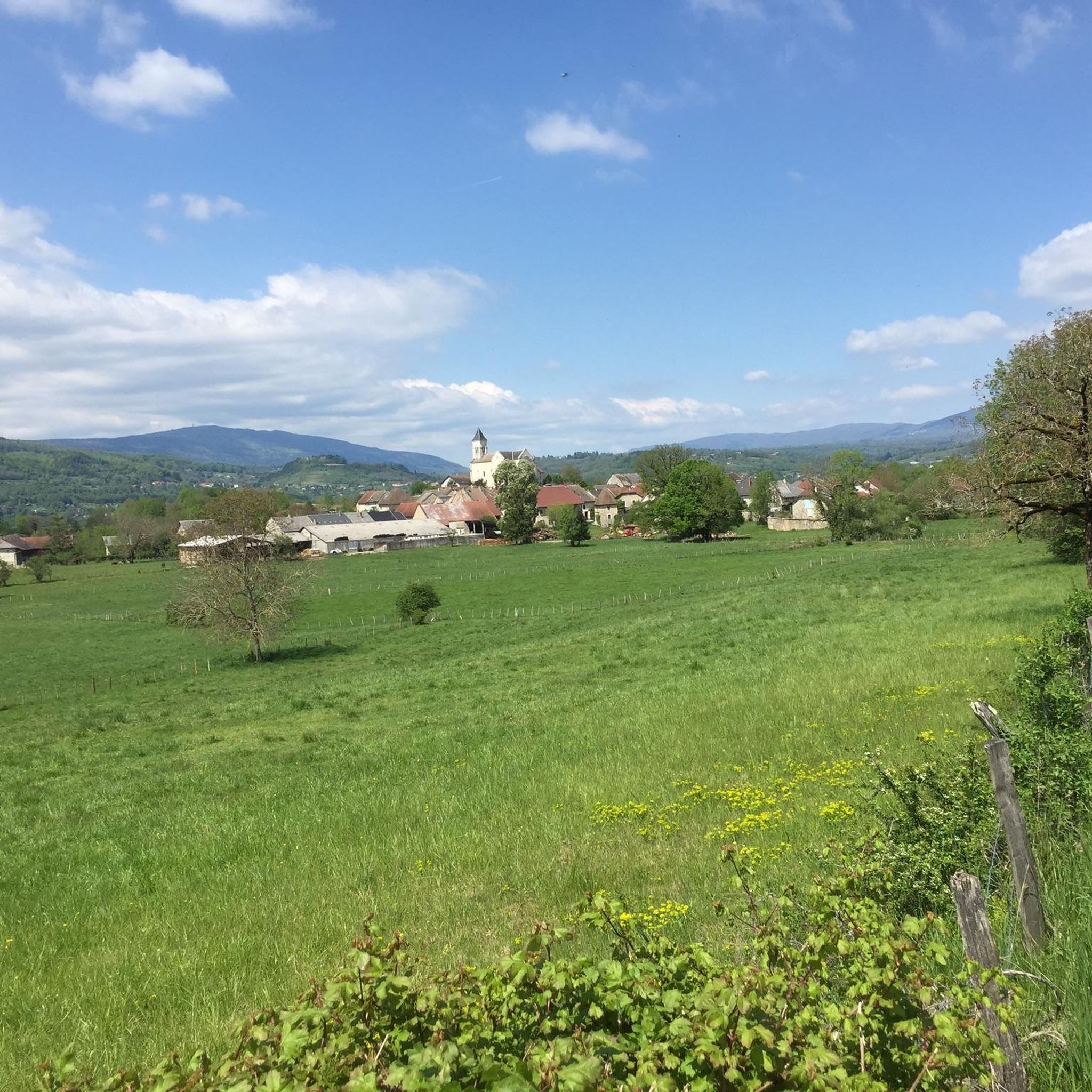
The pass, located at an altitude of 1,050 meters, offers you a magnificent view of the Alps and the Rhône valley. Like most of the peaks in this region, it sometimes allows you to see Mont Blanc.
2
0
Frequently Asked Questions
Are there mountain passes directly within Saint-Martin-De-Bavel?
Based on geographical information, Saint-Martin-De-Bavel itself is largely rural with an average elevation of 330 meters and a maximum of 442 meters. This elevation range does not feature significant mountain passes. However, the surrounding region offers several notable passes for exploration.
Which mountain passes offer the best views of the Alps or Mont Blanc?
For stunning panoramic views, consider visiting Petit Pertuis Pass, located at 1,050 meters, which provides magnificent views of the Alps and the Rhône valley, including Mont Blanc on clear days. Similarly, Col du Grand Colombier, at over 1,500 meters, offers superb views of the Rhône, Lac du Bourget, the entire Alpine arc, and Mont Blanc on a clear day.
What are some challenging mountain passes for experienced cyclists?
The Col du Grand Colombier is known for its challenging ascent, with steep slopes over several kilometers, particularly from the Virieu-le-Petit side. Another demanding option is the Ascent of Col du Grand Colombier from Culoz, an 18-kilometer climb featuring sections with gradients of almost 15% and famous switchbacks, often featured in the Tour de France.
Are there mountain passes with forest trails and viewpoints?
Yes, Charbemènes Pass is an intermediate mountain pass situated south of the Grand Colombier, offering pleasant forest trails and various viewpoints at an altitude of 1316 meters.
What kind of cycling routes are available near the mountain passes?
The region around Saint-Martin-De-Bavel offers a variety of cycling routes. You can find numerous options for road cycling, mountain biking, and gravel biking. For detailed routes, explore the guides for Cycling around Saint-Martin-De-Bavel, MTB Trails around Saint-Martin-De-Bavel, and Gravel biking around Saint-Martin-De-Bavel.
What do visitors appreciate most about the mountain passes in this area?
Visitors frequently highlight the magnificent views, especially of the Alps and the Rhône valley, with Mont Blanc often visible on clear days. The challenging yet rewarding climbs, the quiet roads with little traffic, and the opportunity to enjoy the scenery in a relaxed manner are also highly appreciated.
Is there an intermediate mountain pass suitable for a moderate challenge?
The Col de Ballon (929 m) is an intermediate mountain pass that offers a good challenge. It is 14.1 km long with an average gradient of 5%, making it suitable for those looking for a moderate climb.
Are there any facilities or aid stations at the summit of the mountain passes?
While many passes offer incredible views, some, like the Col du Grand Colombier, do not have aid stations at the top. It's advisable to carry your own supplies for longer excursions.
What kind of terrain can I expect on the mountain passes around Saint-Martin-De-Bavel?
The terrain varies from small, low-traffic roads with magnificent views to steep, challenging sections with gradients up to 15%, particularly on climbs like the Ascent of Col du Grand Colombier from Culoz. You'll also find forest trails and open viewpoints.
How can I find more information about specific routes or activities in the area?
For detailed information on various outdoor activities, including cycling, mountain biking, and gravel biking routes, you can explore the dedicated komoot guides for the region. These guides provide specific routes, distances, and difficulty levels to help you plan your adventure.
What is the general elevation range of the mountain passes in the surrounding area?
While Saint-Martin-De-Bavel itself has a maximum elevation of 442 meters, the mountain passes in the surrounding region reach significantly higher altitudes. For example, Petit Pertuis Pass is at 1,050 meters, Charbemènes Pass is at 1,316 meters, and Col du Grand Colombier is just over 1,500 meters high.
Most popular routes around Saint-Martin-De-Bavel
Most popular attractions around Saint-Martin-De-Bavel

Get inspired with the komoot mobile app


Explore more
See even more epic mountain passes by checking out these guides around Saint-Martin-De-Bavel:
