The best running trails around Saint-Romain-En-Gier
4.3
(168)
4,252
runners
254
runs
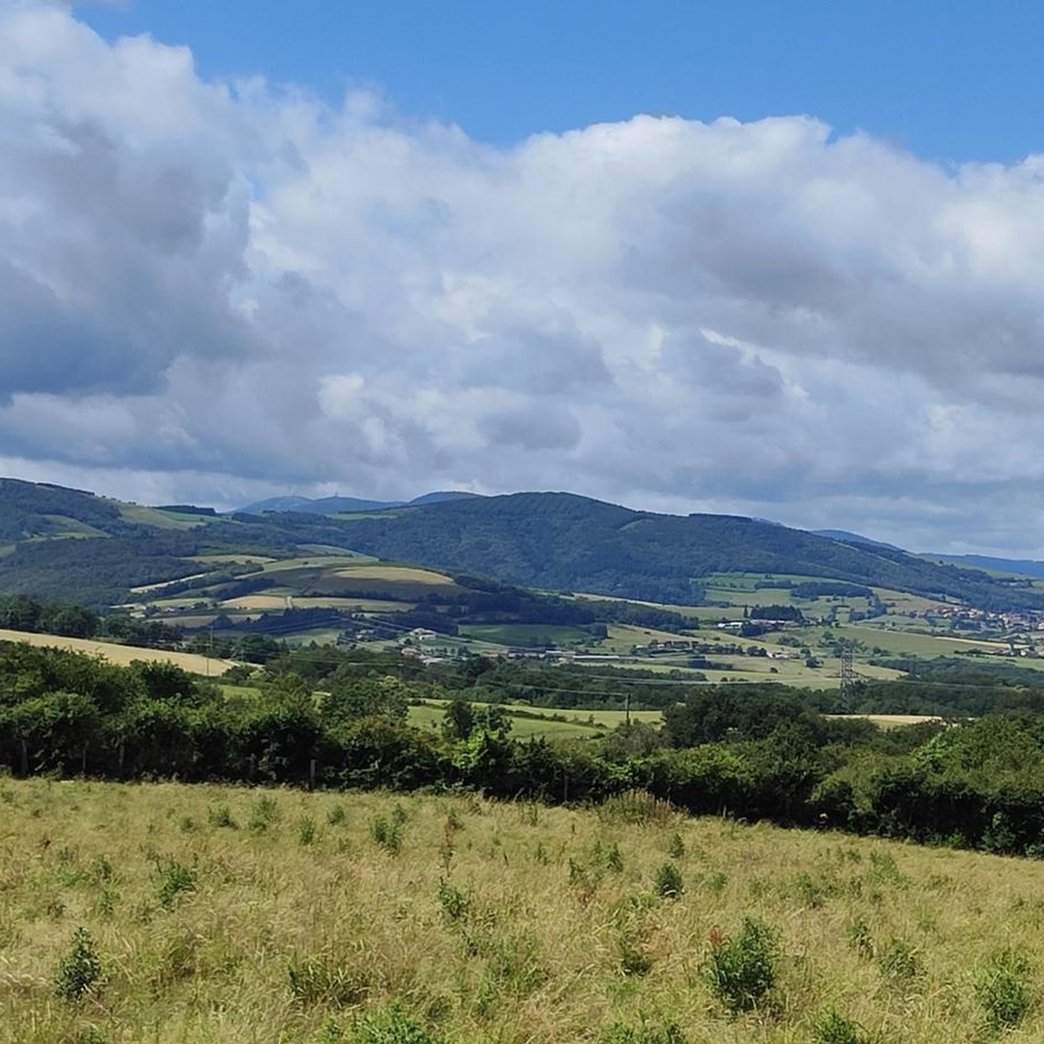
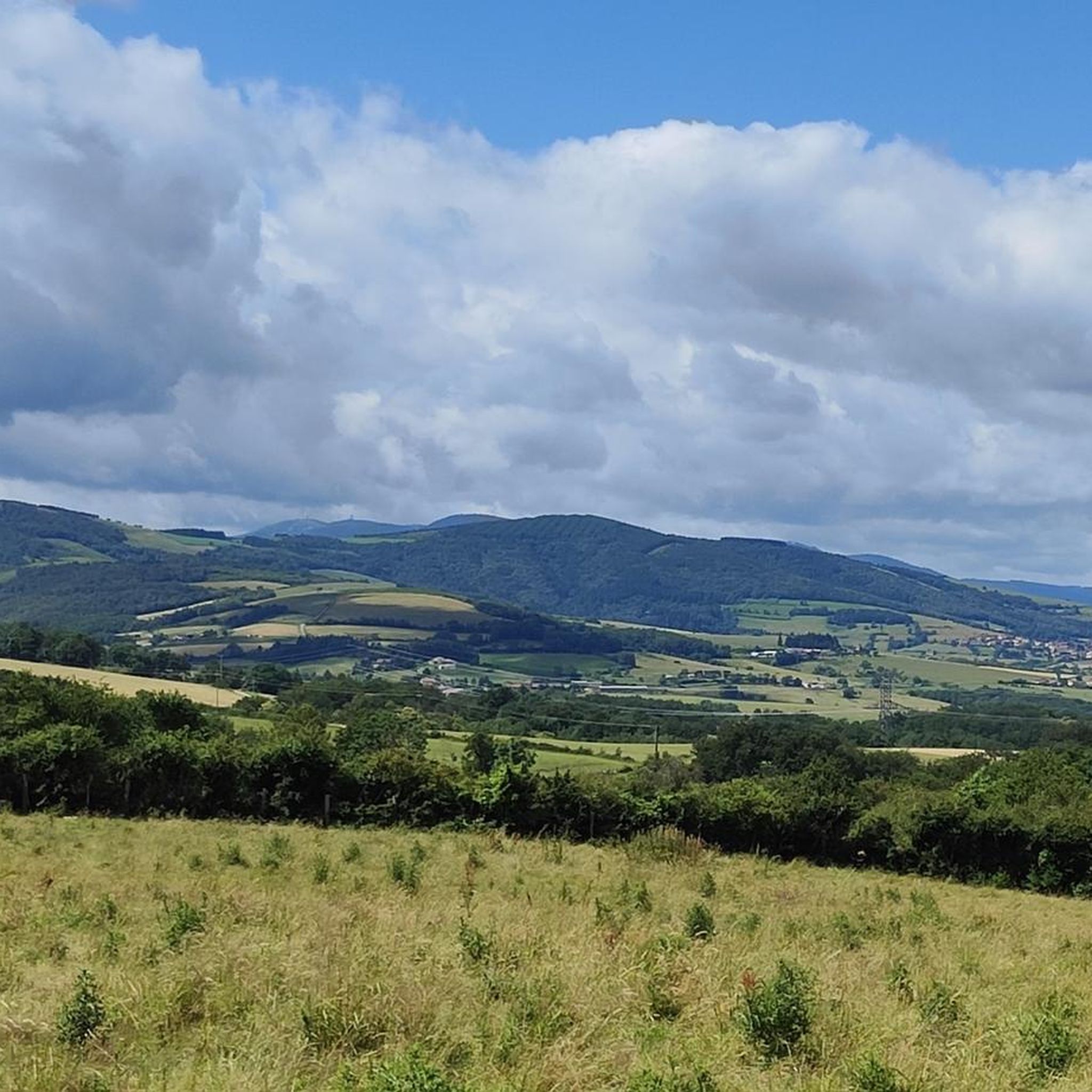
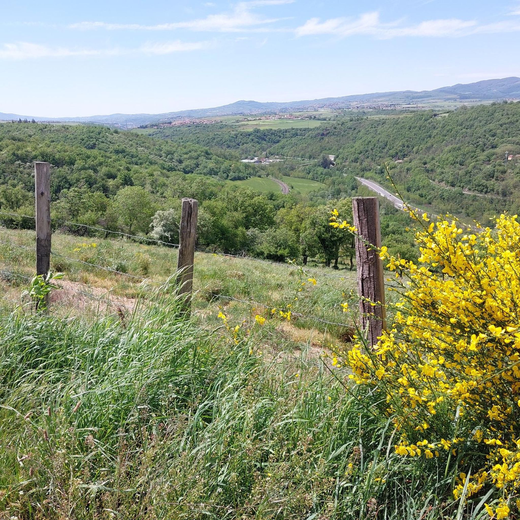
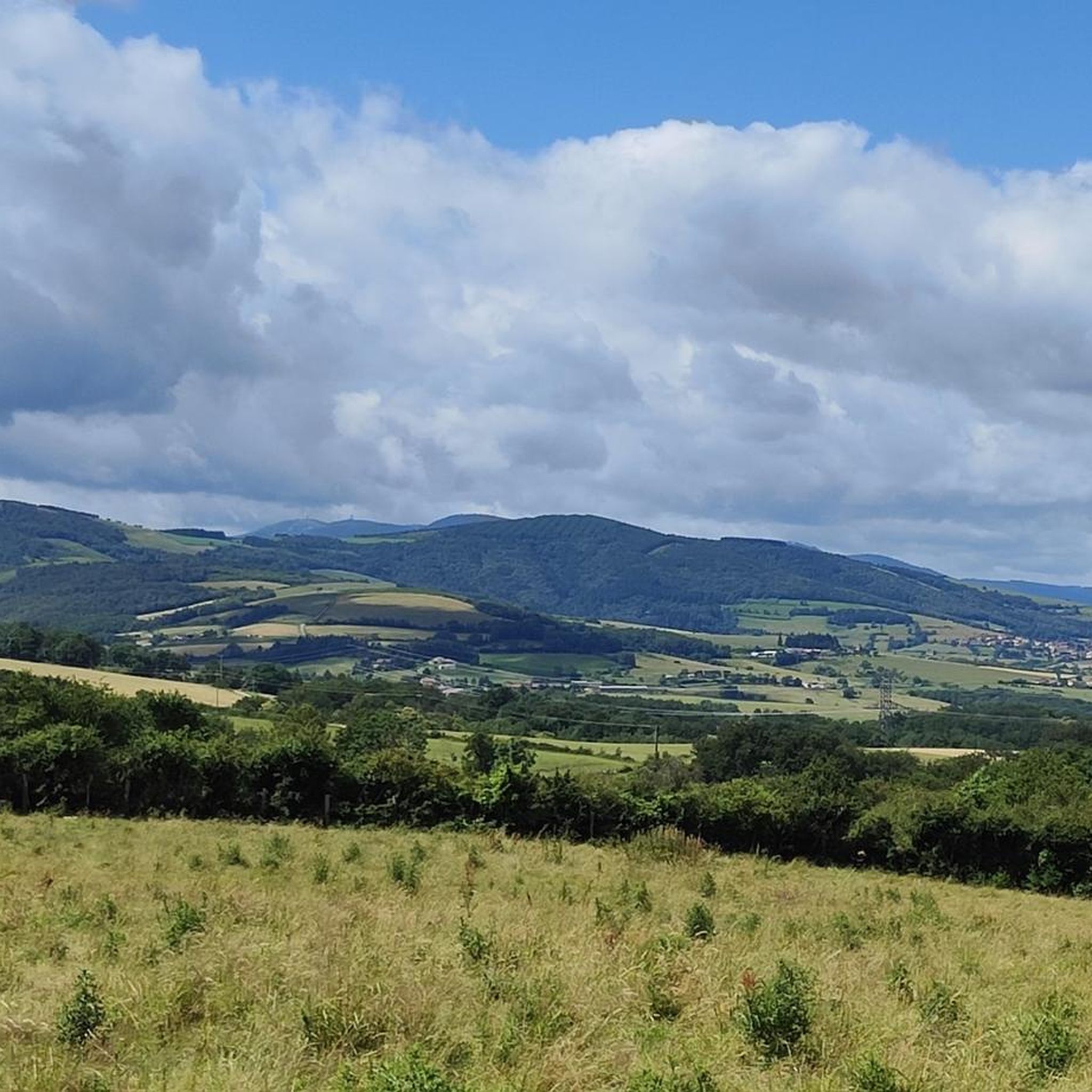
Jogging routes around Saint-Romain-En-Gier traverse a varied landscape, situated within the Pilat Regional Natural Park. The area features wooded valleys, rolling hills, and proximity to the Gier and Rhône rivers. Runners can explore diverse terrains, from riverside paths to trails offering views of the Monts du Lyonnais. This region provides a compelling environment for outdoor activities.
Best jogging routes around Saint-Romain-En-Gier
- The most popular jogging route is Challenging Rocky Path – Bois de Chassagny loop from Beauvallon, a 6.8…
Last updated: July 1, 2026
29
runners
11.0km
01:16
160m
160m
Moderate run. Good fitness required. Mostly paved surfaces. Suitable for all skill levels.
8
runners
9.54km
01:05
110m
110m
Moderate run. Good fitness required. Mostly paved surfaces. Suitable for all skill levels.

Sign up for free
7
runners
16.1km
01:51
170m
170m
Hard run. Very good fitness required. Mostly paved surfaces. Suitable for all skill levels.
4
runners
12.9km
01:30
230m
230m
Moderate run. Good fitness required. Mostly paved surfaces. Suitable for all skill levels.
4
runners
11.7km
01:24
260m
260m
Moderate run. Good fitness required. Mostly paved surfaces. Suitable for all skill levels.
Get access to more routes and recommendations from other explorers.
Sign up for free
Already have an account?
Our route recommendations are based on thousands of hikes, rides, and runs completed by other people on komoot.
Start today with a free account
Your next adventure awaits.
Login or Signup

Tips from the Community

Located on a plateau at an altitude of 330 meters, the Montagny meadows and moors area was protected in 1993 in order to preserve the integrity of biological balances and prevent the disappearance of animal and plant species. Nine remarkable bird species, three invertebrate species, nine plant species and one European amphibian (great crested newt) live in this environment. Note that mountain biking off the trails is prohibited in this area.
0
0

Take the time to walk up the small medieval streets and read the history of the village
1
0

The Church of Saint Jean de Touslas is a spectacular church in the town of Saint Jean de Touslas known for its decorative mosaics.
0
0

Ok in gravel. Less accessible on the segment along the new pond
1
0

Very stony path with a very steep slope. Very difficult in gravel.
1
0

At the beginning of the path there are a lot of rocks but easy to pass with fluidity, super pleasant, then it continues on a small flat descending at least, with zero rocks. In winter the second part of the path is full of mud but in summer it's just perfect.
0
0
With an enduro, in the morning, excellent conditions. The grip is always there, speeds, and a super fluidity of the way. Everything is there to make you love it.
0
0

Church of Saint John of Touslas
0
0
Frequently Asked Questions
How many running routes are available around Saint-Romain-En-Gier?
There are over 250 jogging routes around Saint-Romain-En-Gier documented on komoot. These routes cater to various fitness levels, with a significant number being moderate to difficult.
What kind of terrain can I expect on jogging routes near Saint-Romain-En-Gier?
Jogging routes in Saint-Romain-En-Gier traverse a varied landscape, situated within the Pilat Regional Natural Park. You can expect wooded valleys, rolling hills, and paths along the Gier and Rhône rivers. Some trails also offer scenic views of the Monts du Lyonnais and pass through orchards.
Are there any circular running routes in Saint-Romain-En-Gier?
Yes, many of the running routes in the area are designed as loops. For example, the Challenging Rocky Path – Bois de Chassagny loop from Beauvallon is a popular moderate circular route. Another option is the Rocks and Flow loop from Beauvallon, which offers a moderate challenge.
What natural features or landmarks can I see while jogging in Saint-Romain-En-Gier?
You can explore diverse natural features such as the Gier River, the Rhône river banks, and the varied landscapes of the Pilat Regional Natural Park. Landmarks include views of the Monts du Lyonnais and the Saint Vincent Chapel. The Barlet Island, located on the Rhône, also offers fitness workshops and picnic spots.
Are there any historical sites accessible via running trails?
Yes, you can discover historical sites. A marked loop trail follows the remains of the Roman aqueduct of the Gier and the Furon valley, offering a scenic and historical route. Additionally, the medieval village of Sainte-Croix-en-Jarez, ranked among France's most beautiful villages, can be incorporated into longer routes. You might also encounter the Dargoire Medieval Village – Dargoire medieval gate loop from Beauvallon.
Are there family-friendly jogging routes in Saint-Romain-En-Gier?
While many routes in the Pilat Regional Natural Park can be moderate to difficult, there are also easier options available. With 17 easy routes listed on komoot, families can find suitable paths. Look for routes with lower elevation gain and shorter distances for a more relaxed experience.
Can I bring my dog on the running trails?
Many trails within the Pilat Regional Natural Park are dog-friendly, but it's always advisable to check local regulations or specific route descriptions for any restrictions. Ensure your dog is on a leash where required and be mindful of other trail users and wildlife.
What is the best time of year for jogging in Saint-Romain-En-Gier?
The region offers enjoyable jogging conditions throughout much of the year. The wooded valleys and rolling hills provide varied terrain, with some trails specifically designed to avoid muddy areas and benefit from sun exposure, making them pleasant even in winter. Spring and autumn offer particularly mild temperatures and beautiful scenery.
Is parking available near the trailheads?
Yes, parking is generally available near popular trailheads and villages in the Saint-Romain-En-Gier area, especially in locations like Beauvallon, which serves as a starting point for several routes. It's recommended to check specific route details on komoot for precise parking information.
How can I access the running trails using public transport?
Access to trailheads via public transport can vary. While Saint-Romain-En-Gier is well-connected, specific bus routes or train lines to individual trail starting points might require some planning. Checking local transport schedules for the region is recommended to find the best connections to your desired running route.
What do other runners say about the jogging routes in Saint-Romain-En-Gier?
The jogging routes in Saint-Romain-En-Gier are highly rated by the komoot community, with an average score of 4.3 stars from over 150 reviews. More than 4000 runners have used komoot to explore the area, often praising the varied terrain, scenic views, and the natural beauty of the Pilat Regional Natural Park.
Are there any longer, more challenging running routes for experienced runners?
Yes, for experienced runners seeking a challenge, there are routes like the Rocks and Flow – Bucolic Singletrack loop from Beauvallon. This difficult 16.1 km (10.0 miles) trail features varied landscapes and significant elevation changes, providing a demanding workout. Overall, 60 difficult routes are available in the region.
Where can I find picnic spots or fitness facilities along the running routes?
The Barlet Island, located on the banks of the Rhône, offers various fitness workshops and modules suitable for all levels, making it an excellent spot for varied workouts. It also features picnic spots in a natural, quiet, and wooded setting. For more details on picnic areas, you can visit pilat-tourisme.fr.
Most popular routes around Saint-Romain-En-Gier
Most popular attractions around Saint-Romain-En-Gier

Get inspired with the komoot mobile app


Explore more
Browse the best Running Trails & Routes in other regions.
