The best walks and hikes around Brémoy
4.8
(79)
327
hikers
45
hikes
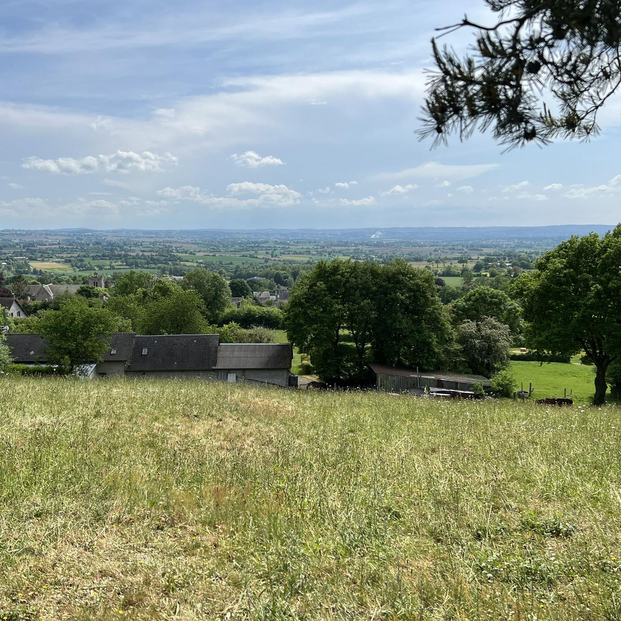
Hiking around Brémoy offers access to diverse landscapes within the heart of the Normandy countryside. The region features the rolling farmland and hedgerows of the Bocage Normand, alongside elevated areas like Mont Pinçon, the highest point in Calvados. Forested sections such as the Bois de Brimbois provide varied terrain and viewpoints, contributing to an extensive network of trails.
Best hiking trails around Brémoy
- The most popular hiking route is Viaduct mit Bungee Jumping😵💫 – Souleuvre Viaduct loop from Souleuvre-en-Bocage,…
Last updated: August 15, 2026
4.8
(5)
16
hikers
3.44km
01:02
80m
90m
Moderate hike. Great for any fitness level. Mostly accessible paths. Sure-footedness required.
5.0
(3)
3
hikers
4.67km
01:21
110m
110m
Easy hike. Great for any fitness level. Easily-accessible paths. Suitable for all skill levels.

Sign up for free
5.0
(3)
13
hikers
Moderate hike. Good fitness required. Mostly accessible paths. Sure-footedness required.
5.0
(1)
2
hikers
Moderate hike. Good fitness required. Mostly accessible paths. Sure-footedness required.
4.5
(2)
3
hikers
7.85km
02:08
110m
110m
Moderate hike. Good fitness required. Mostly accessible paths. Sure-footedness required.
Get access to more routes and recommendations from other explorers.
Sign up for free
Already have an account?
Our route recommendations are based on thousands of hikes, rides, and runs completed by other people on komoot.
Start today with a free account
Your next adventure awaits.
Login or Signup

Tips from the Community

Great site 👍 For thrill-seekers it's top.
0
0

The Souleuvre Valley viaduct is a 19th-century construction by Gustave Eiffel. Today, it is a park dedicated to thrilling activities such as bungee jumping and zip-lining.
1
0
Impeccable path for mountain biking.
0
0

From the top, you have a beautiful view and are, of course, ideal for zipline fans like myself. Unfortunately, during my visit, the activities were only available to employees of a company that had rented the entire facility for the day. If you're planning a visit, it's worth checking in advance whether the park is open. The mini golf course and the summer toboggan run are definitely something for children or those with a fear of heights.
0
0
It's quite impressive when you're standing at the bottom and someone whizzes past on the zipline. But if you want to do more than just watch, check beforehand whether the facility is actually open. When I was there at the end of September 2024, a company had rented it for a team event. Luckily, I was allowed up on the first platform to take a few photos. You can also easily cycle up through the forest with a loaded trekking bike.
0
0

If you are looking for an exciting stopover, you can go to the Viaduc de la Souleuvre. This impressive structure was built by Gustave Eiffel in the 19th century as a railway bridge, but today it is a playground for adrenaline seekers. You can challenge yourself with the activities offered at the viaduct, such as bungee jumping, ziplining, giant swing or skywalking. Make sure you don't get dizzy, as the viaduct rises 61 meters high and offers stunning views of the landscape below.
4
0


reliefpleasantexceptional view
0
1
Frequently Asked Questions
How many hiking trails are available around Brémoy?
There are over 45 hiking trails around Brémoy, offering a variety of experiences. These include 10 easy routes and 36 moderate options, ensuring there's something for different fitness levels.
What kind of landscapes can I expect to see while hiking near Brémoy?
Hiking near Brémoy offers diverse landscapes. You'll encounter the classic Norman 'bocage' countryside with its hedgerows and rolling farmland, elevated viewpoints like Mont Pinçon (the highest point in Calvados), and forested areas such as the Bois de Brimbois. These varied terrains provide picturesque settings for your walks.
Are there any easy hiking routes suitable for beginners or families in Brémoy?
Yes, Brémoy offers several easy hiking routes perfect for beginners or families. An example is the Saint-Jean and Its Streams loop from Val de Drôme, which is an easy 4.4 km path. The region's extensive network includes shorter, easier walks that allow you to enjoy the bocage landscape without significant challenge.
What are some notable landmarks or attractions to see along the hiking trails?
While hiking around Brémoy, you can encounter several interesting landmarks. The impressive Souleuvre Viaduct, an 19th-century structure, is a prominent feature on some routes. You might also find the Mount Pinçon summit, offering panoramic views, or discover unique spots like the Thatched-Roof Cottage and Blackberry Bushes.
Are there any circular walks available in the Brémoy area?
Yes, many of the trails around Brémoy are circular, allowing you to start and end at the same point. For instance, the Hiking loop from Souleuvre-en-Bocage is a moderate 3.4 km circular route. Another option is the Hiking loop from Le Tourneur, which takes you through the characteristic bocage countryside.
What do other hikers say about the trails in Brémoy?
The trails in Brémoy are highly regarded by the komoot community, holding an average rating of 4.8 stars from over 60 reviews. Hikers often praise the diverse terrain, the beauty of the bocage landscape, and the well-maintained paths that lead to elevated viewpoints.
Are there any challenging hikes for experienced hikers in Brémoy?
While Brémoy doesn't feature 'difficult' graded trails, it offers numerous moderate routes that provide a good challenge. These often involve more significant elevation changes and longer distances, allowing experienced hikers to explore the region's varied terrain and panoramic views. For example, the Souleuvre Viaduct – Viaduct mit Bungee Jumping😵💫 loop from Saint-Denis-Maisoncelles is a moderate 11.2 km path exploring elevated areas.
Can I find trails that offer panoramic viewpoints in Brémoy?
Absolutely. Brémoy is known for its elevated areas that provide magnificent panoramic views. Mont Pinçon, the highest point in Calvados, offers extensive vistas. The Bois de Brimbois also features elevated viewpoints, and trails like the Le sentier des bruyères from Brémoy specifically highlight these scenic spots.
Is there parking available near the hiking trails in Brémoy?
Yes, parking is generally available near the starting points of many hiking trails in the Brémoy area, especially in villages and designated recreational spots. It's advisable to check specific route details on komoot for precise parking information for your chosen trail.
What is the best time of year to hike in Brémoy?
The best time to hike in Brémoy is typically from spring through autumn. During these seasons, the weather is generally pleasant, and the bocage landscape is lush and vibrant. While winter hiking is possible, some paths might be muddy, and views could be limited by weather conditions.
Are there any specific trails that go through forested areas?
Yes, the Bois de Brimbois near Brémoy offers varied terrain including forested sections. The trail known as Le sentier des bruyères starts directly from Brémoy and takes you through these scenic woods, providing a different hiking experience compared to the open bocage.
How long do hikes around Brémoy typically take?
Hikes around Brémoy vary in length and duration. Easy routes, like the 4.4 km Saint-Jean and Its Streams loop, can take around 1.5 to 2 hours. Longer, moderate trails, such as the 10.8 km Viaduct mit Bungee Jumping😵💫 – Souleuvre Viaduct loop, typically require 3 to 4 hours to complete, depending on your pace.
Most popular attractions around Brémoy

Get inspired with the komoot mobile app


Explore more
Browse the best Hikes in other regions.
