The best cycling routes around Carbuccia
4.7
(124)
1,048
riders
23
rides
Touring cycling routes around Carbuccia are situated in the Gravona valley, at an altitude of 420 meters, within the Parc naturel régional de Corse. The region is characterized by a pronounced mountainous and hilly landscape, offering diverse terrain for cyclists. Routes often feature significant elevation changes, passing through natural areas and charming villages. This setting provides a challenging environment for touring cyclists.
Best touring cycling routes around Carbuccia
- The most popular touring cycling route is Belle Valle Pass – Saint-Georges…
Last updated: May 16, 2026
5.0
(2)
74
riders
88.1km
05:52
1,330m
1,330m
Hard bike ride. Very good fitness required. Mostly paved surfaces. Suitable for all skill levels.
4.9
(7)
34
riders
72.5km
05:20
1,580m
1,580m
Hard bike ride. Very good fitness required. Mostly paved surfaces. Suitable for all skill levels.

Sign up for free
4.7
(3)
39
riders
59.4km
04:06
1,090m
1,090m
Hard bike ride. Very good fitness required. Mostly paved surfaces. Suitable for all skill levels.
5.0
(2)
25
riders
66.4km
04:53
1,550m
1,550m
Hard bike ride. Very good fitness required. Mostly paved surfaces. Suitable for all skill levels.
19
riders
91.3km
06:40
2,080m
2,080m
Hard bike ride. Very good fitness required. Mostly paved surfaces. Suitable for all skill levels.
Get access to more routes and recommendations from other explorers.
Sign up for free
Already have an account?
Our route recommendations are based on thousands of hikes, rides, and runs completed by other people on komoot.
Start today with a free account
Your next adventure awaits.
Login or Signup
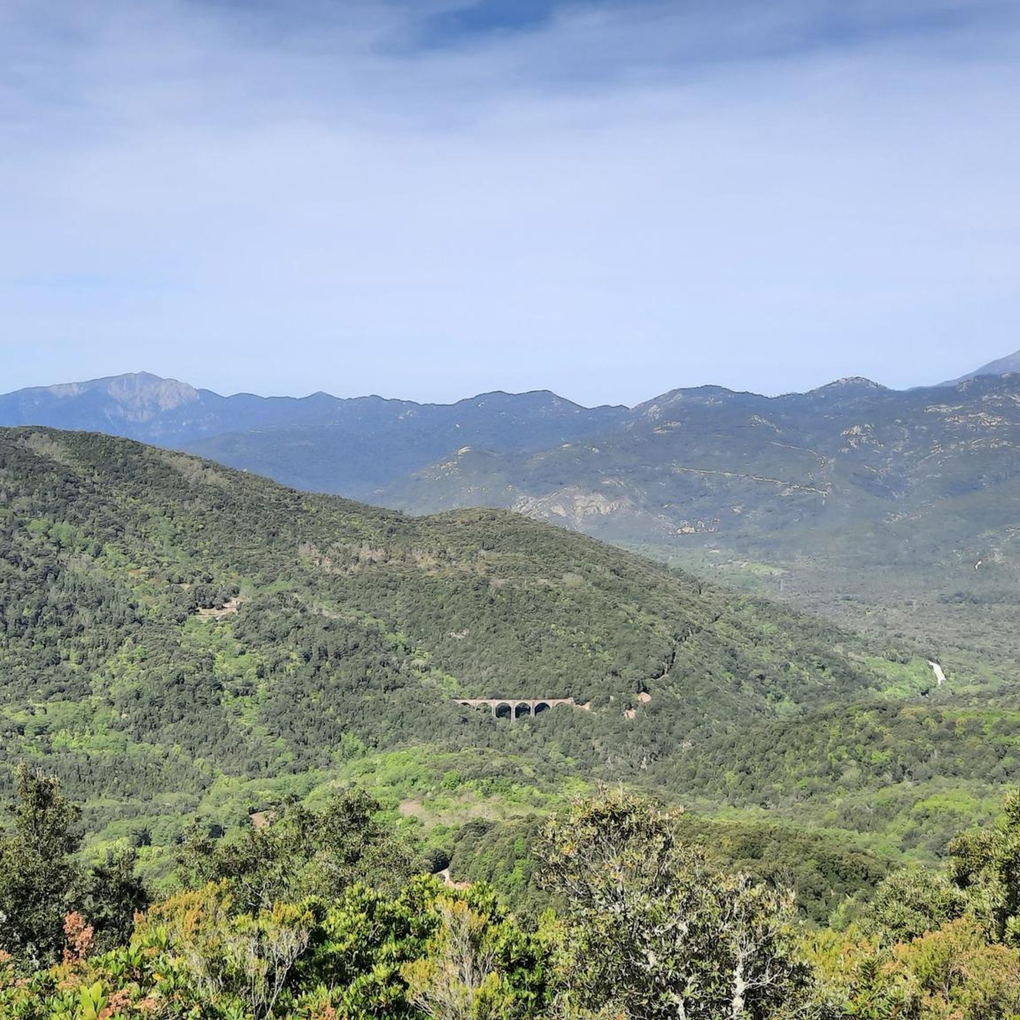
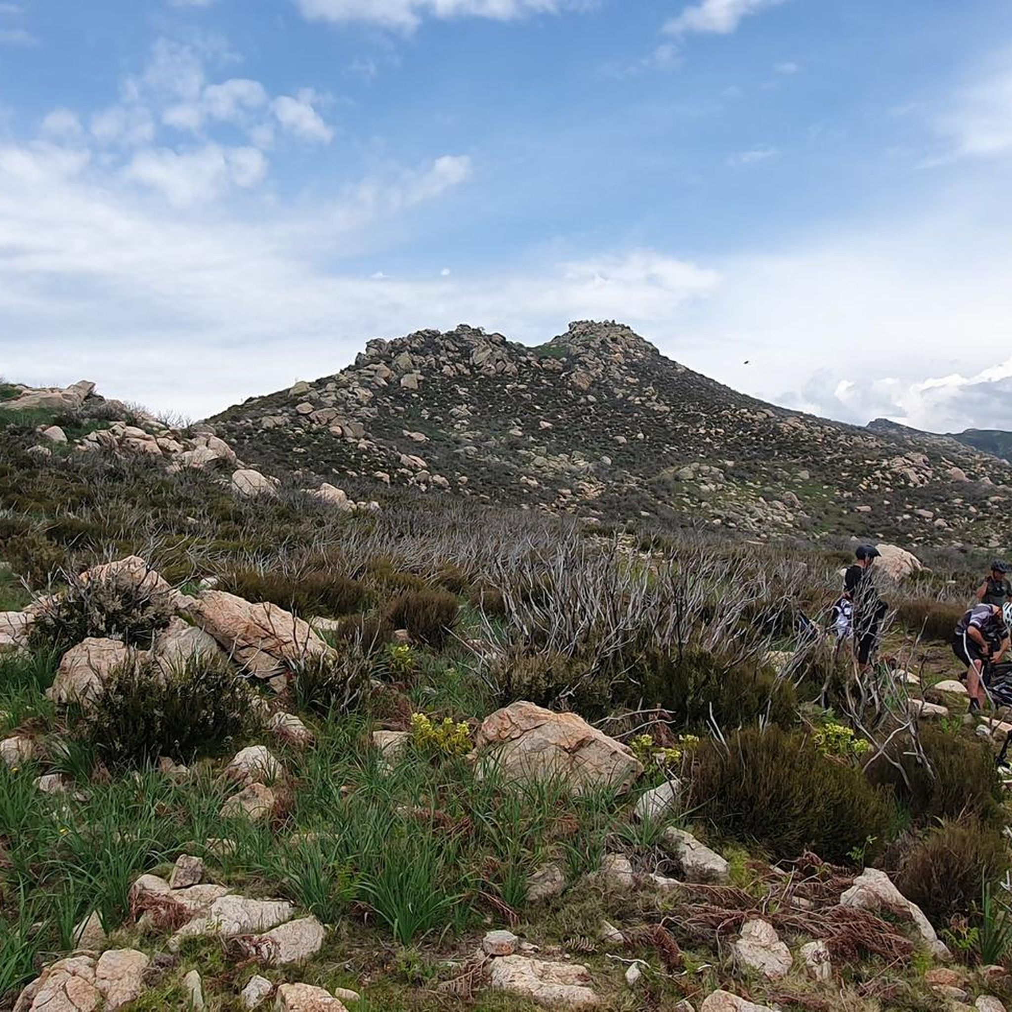
Tips from the Community

A marked path to the beach and once you get there, you'll have a beautiful view of the bay!
0
0


…to the Église Saint-Martin
1
0

A great view of the sea and in May there are still few holidaymakers here, almost only locals
0
0
After a long climb there are wonderful views of the reservoir
0
0
If you don't want to go to the curry shop anymore, you can enjoy excellent Corsican cuisine here
0
0
Great view of the Baie d'Ajaccio from above, and good ice cream on the promenade below
0
0
Frequently Asked Questions
What is the general difficulty level of touring cycling routes around Carbuccia?
Touring cycling around Carbuccia is primarily suited for intermediate to expert riders. The region is characterized by mountainous terrain and significant elevation changes, with 17 out of 20 routes classified as difficult. You can expect challenging climbs and rewarding descents through the Corsican landscape.
How many touring cycling routes are available in the Carbuccia area?
There are 20 touring cycling routes available around Carbuccia. While 3 are considered moderate, the majority (17) are classified as difficult, reflecting the region's challenging mountainous terrain.
What kind of terrain can I expect when cycling near Carbuccia?
Cyclists in the Carbuccia area can expect a diverse and challenging terrain. The routes traverse a pronounced mountainous and hilly landscape within the Parc naturel régional de Corse, featuring significant elevation changes. You'll encounter natural areas, winding roads, and pass through charming villages, offering a true Corsican touring experience.
Are there any notable natural features or viewpoints along the cycling routes near Carbuccia?
Yes, the region offers stunning natural features and viewpoints. You might encounter highlights such as the Bridal Veil Waterfall, the Natural Pool in Parc Naturel Régional de Corse, or the Viewpoint Tolla. The routes often provide breathtaking vistas of the surrounding mountains and valleys.
Can I find any historical sites or charming villages while cycling in the Carbuccia region?
Absolutely. The Corsican hinterland is rich in history and culture. While specific attractions within Carbuccia itself are limited, the broader region, including nearby Ucciani, features historical elements like prehistoric engraved rocks. Many routes will lead you through charming traditional villages, allowing for immersion in the local culture and appreciation of historical sites characteristic of Corsica.
Are there any circular touring cycling routes available around Carbuccia?
Yes, many of the touring cycling routes around Carbuccia are designed as loops, allowing you to start and finish in the same location. Examples include the Belle Valle Pass – Saint-Georges Pass loop from Ocana and the Col de Scalella – View of Lake Tolla loop from Tavera, which offer comprehensive tours of the area's landscapes.
What do other touring cyclists enjoy the most about touring cycling in Carbuccia?
The touring cycling routes around Carbuccia are highly rated by the komoot community, with an average score of 4.7 stars from over 85 reviews. Cyclists often praise the challenging climbs, the stunning natural scenery within the Parc naturel régional de Corse, and the opportunity to explore the diverse Corsican landscape.
Is Carbuccia a good base for exploring other parts of Corsica by bike?
Carbuccia, situated in the Gravona valley at 420 meters altitude and within the Parc naturel régional de Corse, serves as an excellent base for exploring the central and southern parts of Corsica. Its location provides access to routes that delve deep into the island's mountainous interior, offering a true taste of Corsican cycling challenges and natural beauty.
Are there any routes suitable for families with children or beginners?
Given the region's characteristics, touring cycling routes around Carbuccia are generally challenging with significant elevation changes. There are no routes specifically classified as easy, and only 3 are moderate, with the majority being difficult. This area is more suitable for experienced cyclists rather than families with young children or beginners looking for flat, easy rides.
What is the best time of year to go touring cycling in Carbuccia?
While specific seasonal data isn't provided, Corsica's climate generally makes spring (April-June) and autumn (September-October) ideal for cycling. These periods offer milder temperatures, less rainfall, and fewer tourists compared to the peak summer months, making the challenging climbs more enjoyable.
Can I find cafes or accommodation along the touring cycling routes near Carbuccia?
The routes often pass through charming villages, which may offer opportunities for cafes and local eateries. For accommodation, it's advisable to plan ahead, especially in the more rural areas. While Carbuccia itself is a small commune, nearby larger towns or villages along your chosen route may provide options for rest and refreshments.
What is the longest touring cycling route available from Carbuccia?
One of the longer and more challenging routes is the Col de Scalella – View of Lake Tolla loop from Tavera. This difficult path covers 56.7 miles (91.3 km) and features significant elevation gain, offering extensive views and a demanding ride.
Are there any routes that offer views of Lake Tolla?
Yes, the Col de Scalella – View of Lake Tolla loop from Tavera is a difficult route specifically designed to provide views of Lake Tolla. This route is known for its significant elevation gain and scenic vistas of the lake and surrounding landscape.
Most popular attractions around Carbuccia

Get inspired with the komoot mobile app


Explore more
Browse the best Cycling routes in other regions.
