The best walks and hikes around Sainte-Croix
4.3
(361)
2,044
hikers
153
hikes
Hiking around Sainte-Croix offers diverse landscapes within the Jura Vaudois Regional Natural Park. The region features the rugged terrain of the Jura Mountains, characterized by dramatic gorges, extensive forests, and wooded pastures. Hikers can experience panoramic views that often include multiple lakes and the distant Alps. Water features like the Gorges de Covatannaz, with the Arnon river, are notable natural elements.
Best hiking trails around Sainte-Croix
- The most popular hiking route is Lake Neyton loop from Montluel, a 6.0…
Last updated: August 21, 2026
4.4
(9)
26
hikers
14.4km
03:41
60m
60m
Moderate hike. Good fitness required. Easily-accessible paths. Suitable for all skill levels.
4.4
(5)
16
hikers
10.3km
02:38
30m
30m
Moderate hike. Good fitness required. Easily-accessible paths. Suitable for all skill levels.

Sign up for free
5.0
(1)
10
hikers
12.2km
03:18
160m
160m
Moderate hike. Good fitness required. Easily-accessible paths. Suitable for all skill levels.
4.5
(2)
4
hikers
6.78km
01:47
60m
60m
Easy hike. Great for any fitness level. Easily-accessible paths. Suitable for all skill levels.
7
hikers
7.05km
01:51
50m
50m
Easy hike. Great for any fitness level. Easily-accessible paths. Suitable for all skill levels.
Get access to more routes and recommendations from other explorers.
Sign up for free
Already have an account?
Our route recommendations are based on thousands of hikes, rides, and runs completed by other people on komoot.
Start today with a free account
Your next adventure awaits.
Login or Signup

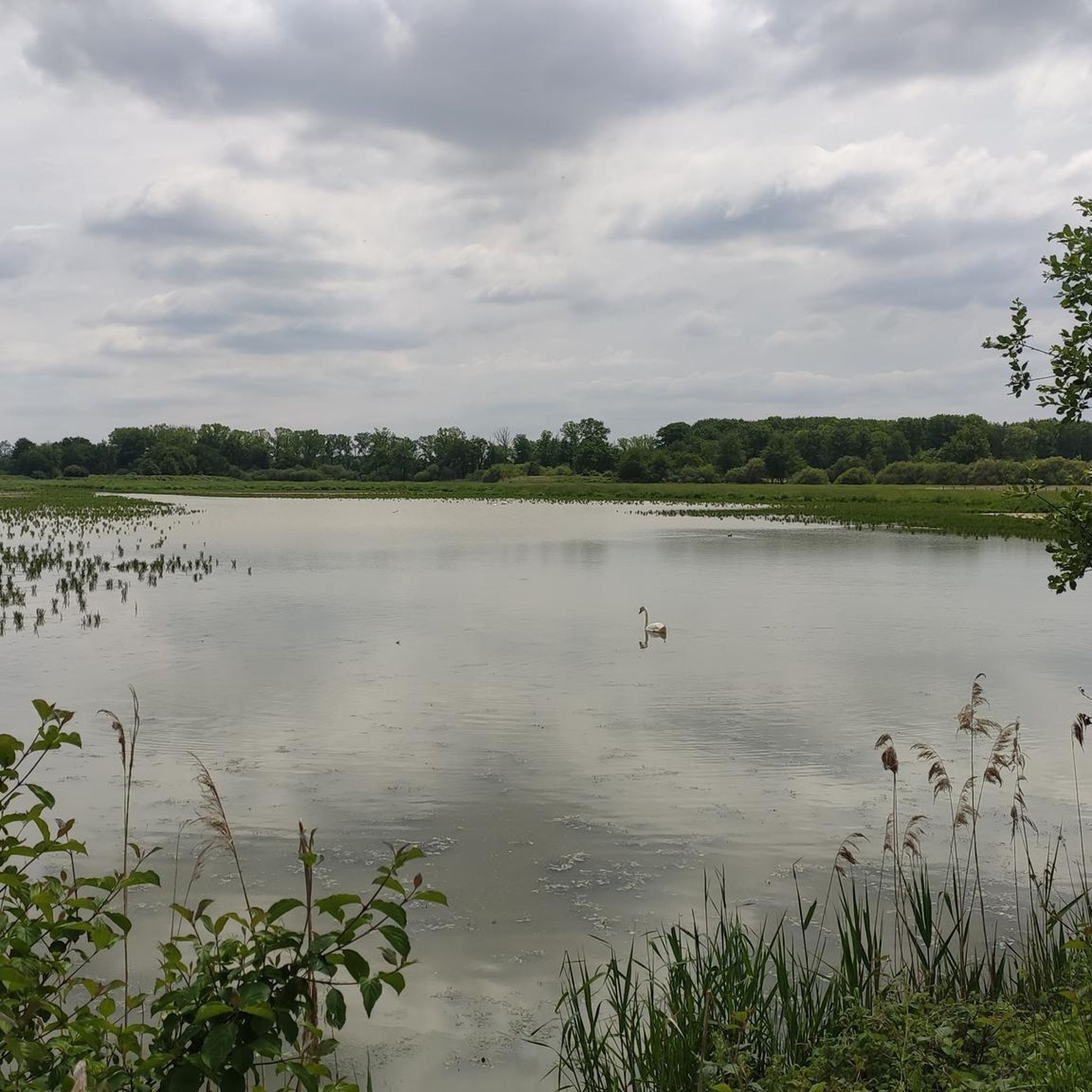
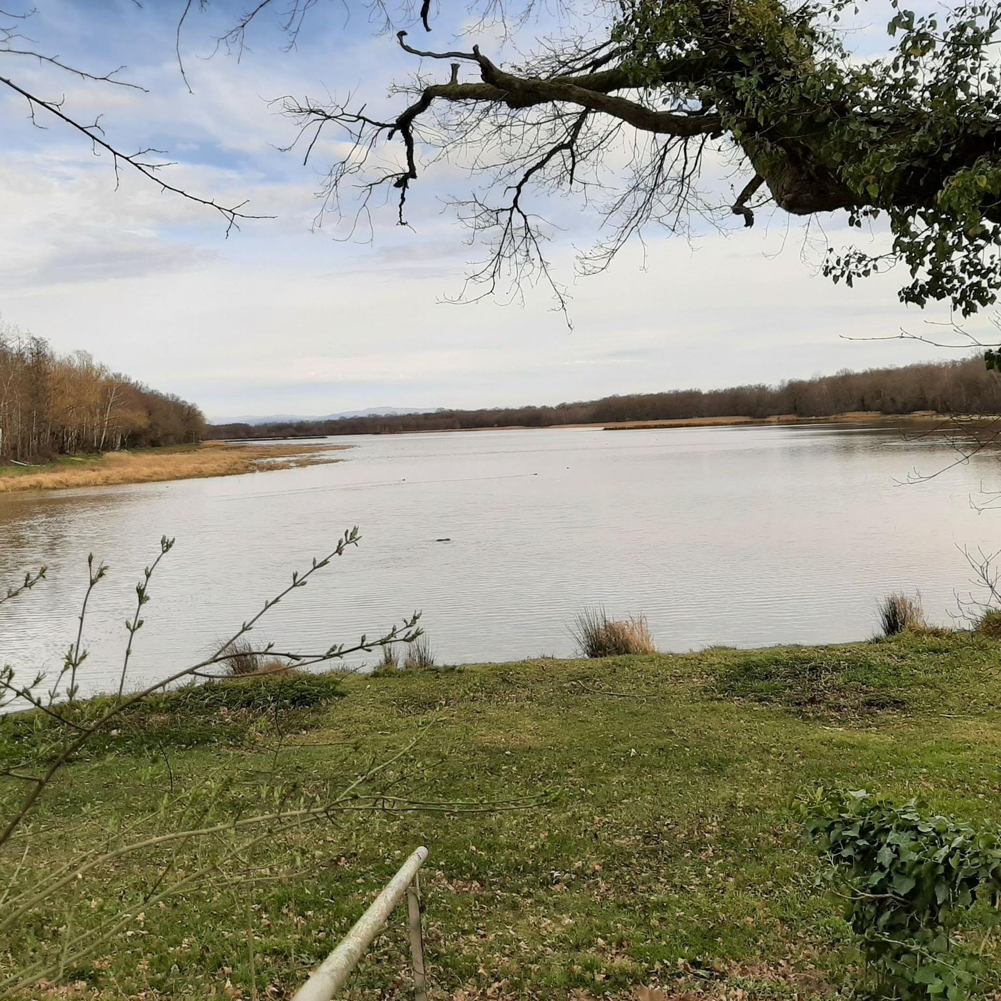
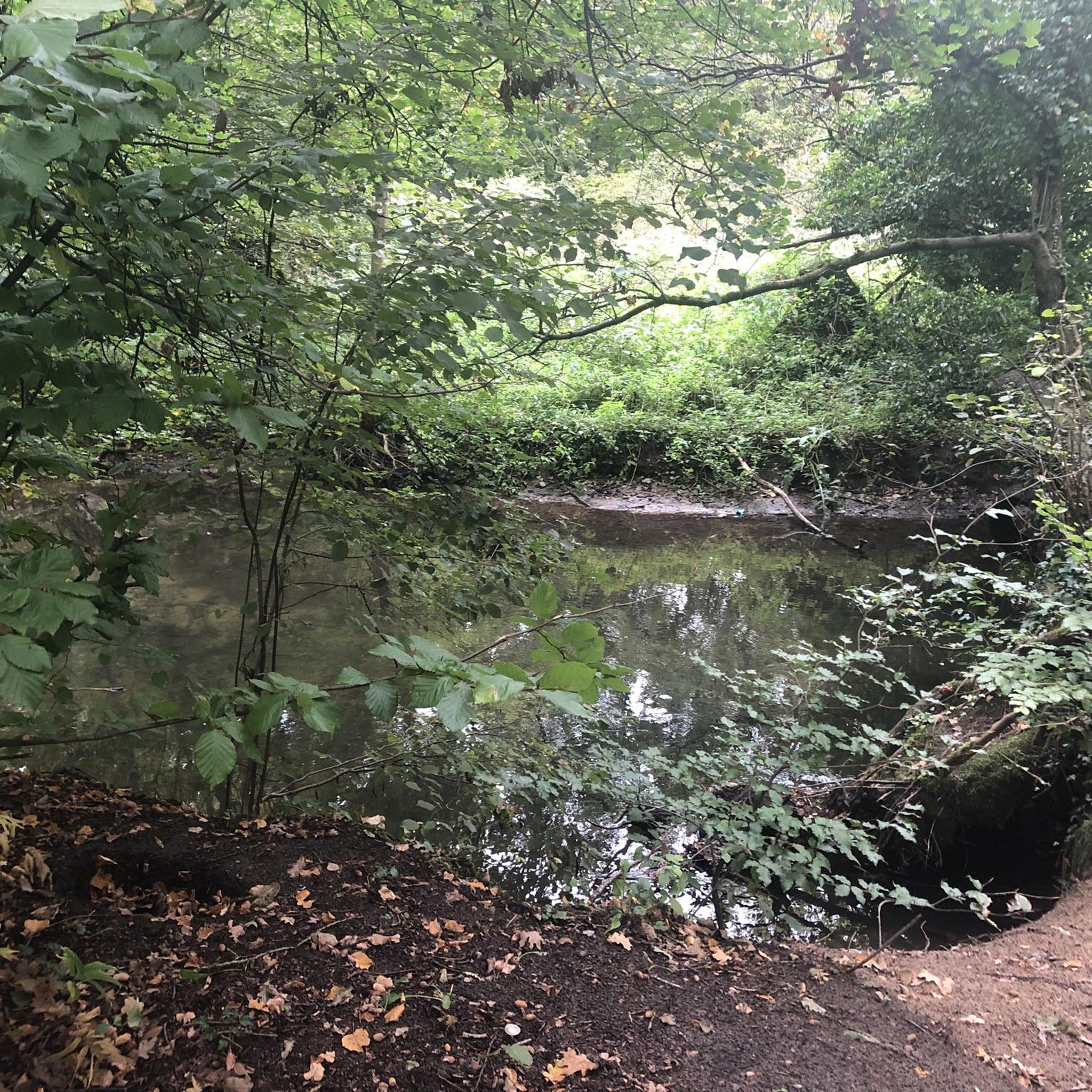
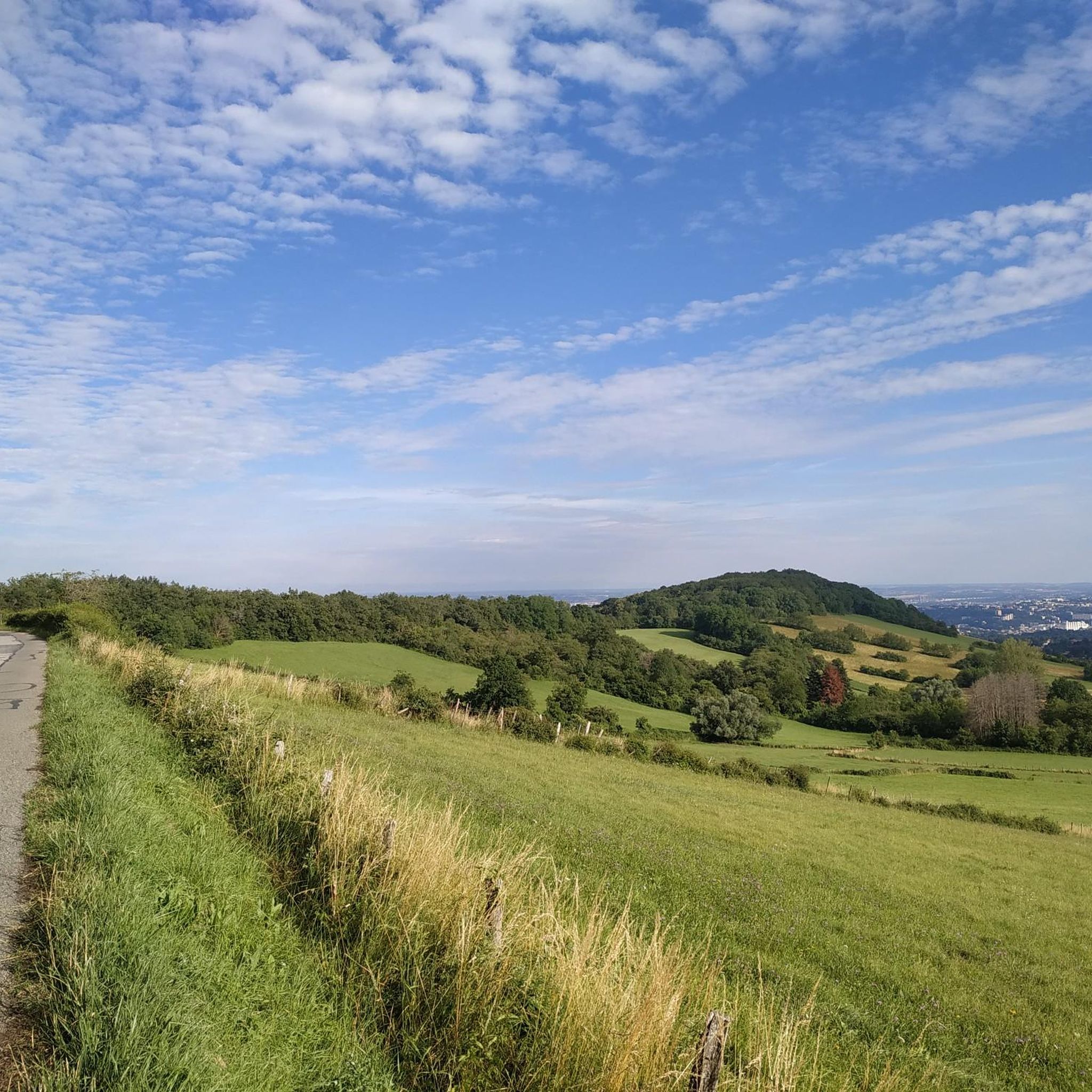
Tips from the Community

This motte-and-bailey castle, also known as a "poype," dates back to the Middle Ages. Listed as a historical monument since 2003, this historic site is now open to visitors. You'll find all the information you need on the castle's website: chateaudumontellier.fr
0
0


splendid space for picnicking, or for family relaxation, a marvel.
1
0
This motte fortified castle, otherwise known as "poype", dates from the Middle Ages. Classified as historical monuments since 2003 it is now possible to visit this place of history. You will find all the necessary information on the castle website: https://www.chateaudumontellier.fr
0
0

Small lake that you can easily miss if you don't open your eyes!
1
0


On a poype, it was built in the 14th century, then modified in the 16th and 17th centuries. Classified as historical monuments
0
0

Although privately owned, this chateau is worth a visit for its location.
6
2
Frequently Asked Questions
How many hiking trails are available around Sainte-Croix?
Sainte-Croix offers an extensive network of over 130 hiking trails. These routes cater to various skill levels, from easy walks to more challenging ascents, all within the beautiful Jura Vaudois Regional Natural Park.
What kind of terrain can I expect on hikes in Sainte-Croix?
The terrain around Sainte-Croix is highly varied. You'll find rugged paths through the Jura Mountains, dramatic gorges like the Gorges de Covatannaz with the Arnon river, extensive forests, and wooded pastures. Many trails also offer panoramic views of lakes and the distant Alps.
Are there any easy hiking routes suitable for beginners or families?
Yes, Sainte-Croix has numerous easy trails. For instance, the Hiking loop from Pizay is an easy 6.7 km route. The region offers 63 easy routes, making it suitable for those looking for a relaxed walk or hiking with family.
Are there any circular walks in the Sainte-Croix area?
Many of the trails around Sainte-Croix are designed as circular routes, allowing you to start and end at the same point. Examples include the popular Lake Neyton loop from Montluel or the Château du Montellier – Château du Montellier loop from Le Montellier.
What natural features or landmarks can I see along the hiking trails?
Hikers can discover a variety of natural features and landmarks. The region is known for its impressive gorges, such as the Gorges de Covatannaz. You might also encounter beautiful lakes like Lake Neyton, Aubépin Pond, or Lake de la Forestière. Historical sites like the Medieval town of Pérouges and the Sainte-Madeleine Church of Le Montellier are also nearby.
What do other hikers enjoy most about hiking in Sainte-Croix?
The hiking trails around Sainte-Croix are highly rated by the komoot community, with an average score of 4.5 stars from over 260 reviews. Hikers often praise the diverse landscapes, the stunning panoramic views of lakes and the Alps, and the well-maintained network of paths within the Jura Vaudois Regional Natural Park.
Are there any trails that offer scenic viewpoints?
Absolutely. The Jura Mountains provide numerous opportunities for breathtaking views. From higher elevations, you can often see up to eight lakes and the majestic Alps. Peaks like Mont Tendre, the highest point in the Swiss Jura, offer expansive vistas including Lake Geneva. You can also find specific viewpoints like the Observation Platform - Étang Turlet.
Is Sainte-Croix accessible by public transport for hikers?
The Jura Vaudois Regional Natural Park, where Sainte-Croix is located, is well-integrated with public transport options, making many trailheads accessible. It's advisable to check local transport schedules for specific starting points.
Are there options for winter hiking or other winter activities?
While this guide focuses on hiking, the Sainte-Croix region transforms in winter, offering opportunities for snowshoeing and cross-country skiing on designated trails. Always respect local wildlife and trail closures during the winter season.
Where can I find more information about the Jura Vaudois Regional Natural Park?
For more details about the broader Jura Vaudois Regional Natural Park and its offerings, you can visit the official tourism websites. For example, lacote-tourisme.ch and morges-tourisme.ch provide valuable information.
What is the typical duration for a hike around Sainte-Croix?
Hike durations vary significantly depending on the route's length and difficulty. For example, a moderate route like the Lake Neyton loop from Montluel (9.6 km) typically takes around 2 hours and 37 minutes, while the longer Lake Neyton loop from Dagneux (14.0 km) can take about 3 hours and 46 minutes.
Most popular routes around Sainte-Croix
Most popular attractions around Sainte-Croix

Get inspired with the komoot mobile app


Explore more
Browse the best Hikes in other regions.
