The best walks and hikes around Saint-Lyphard
4.3
(346)
1,996
hikers
47
hikes
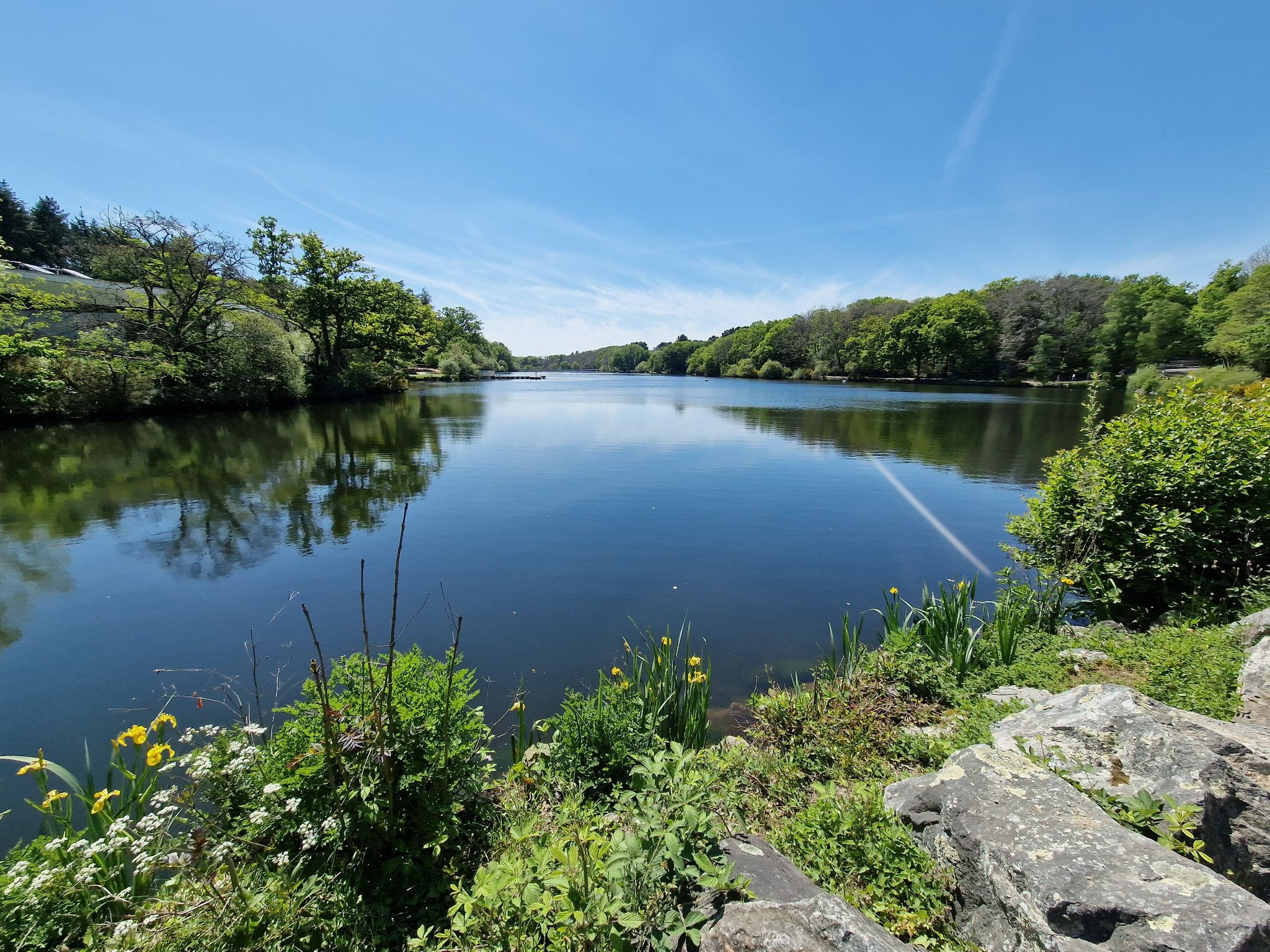
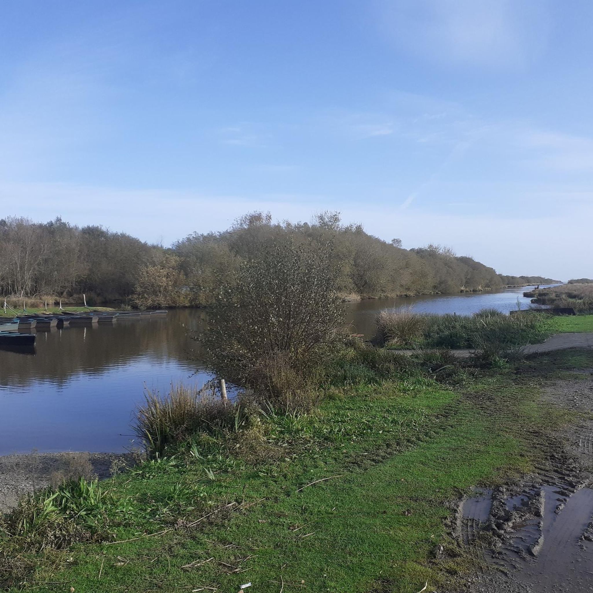
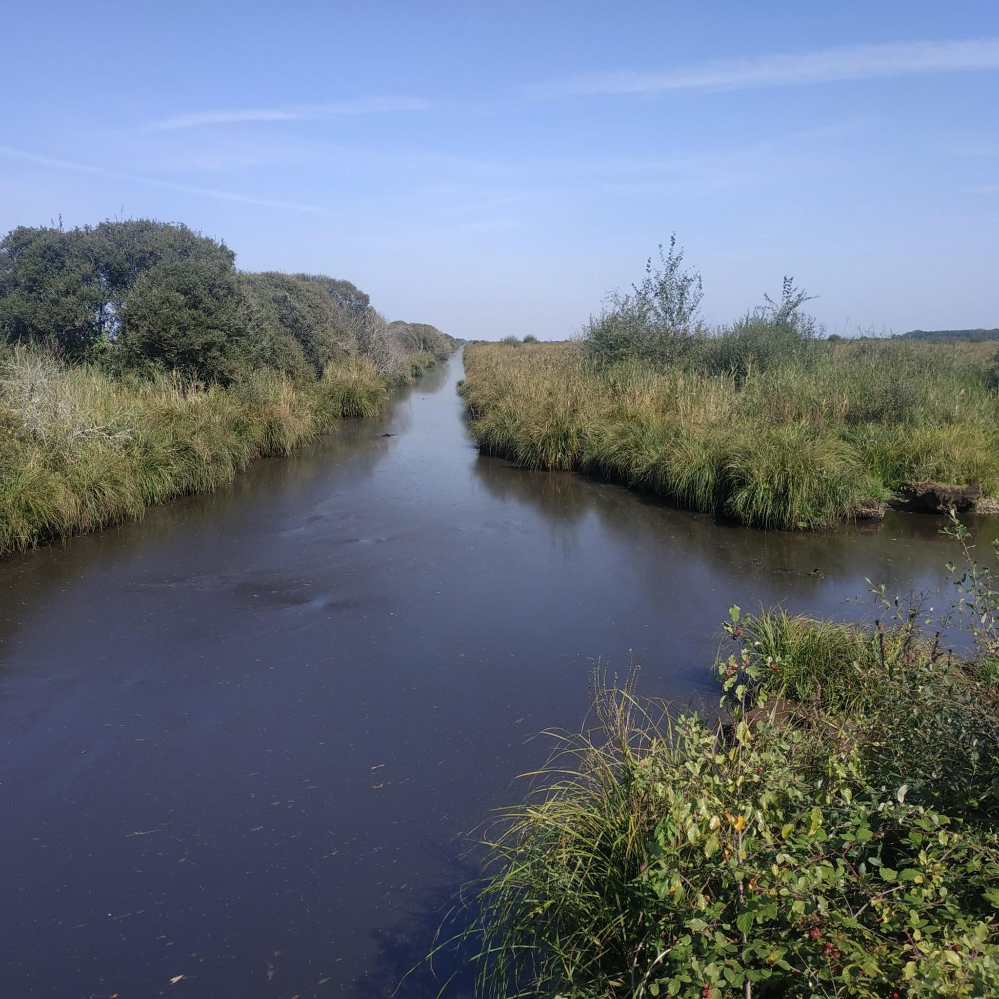
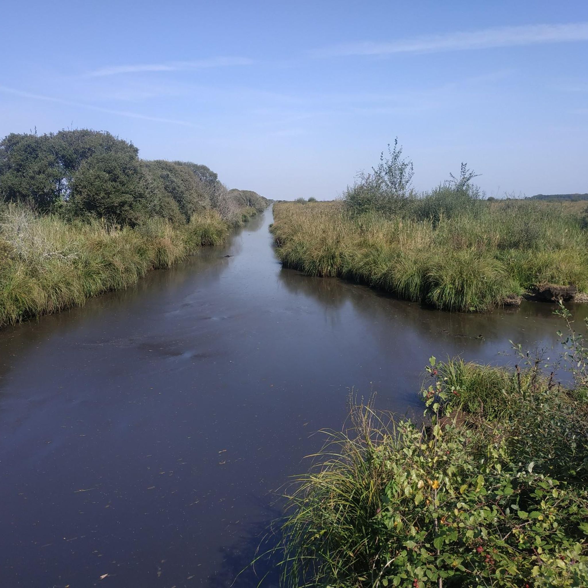
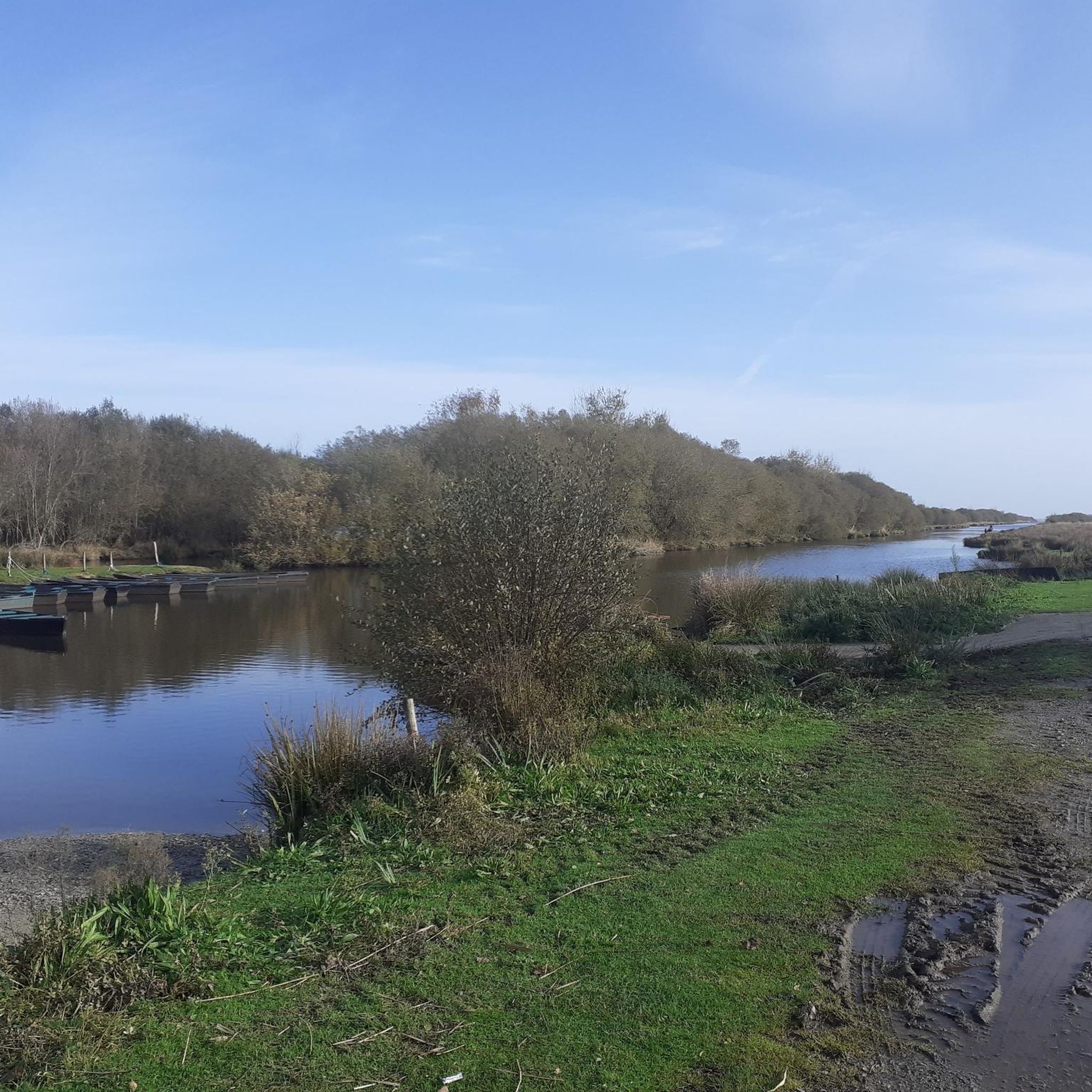
Hiking around Saint-Lyphard offers access to the unique landscapes of the Brière Regional Natural Park. This region is characterized by extensive wetlands, intricate networks of canals, and vast reed beds, forming a distinctive marshland environment. The terrain is generally flat, with minimal elevation changes, making it suitable for accessible exploration of its rich biodiversity and traditional villages.
Best hiking trails around Saint-Lyphard
- The most popular hiking route is Pont de Gras – Dolmen de Kerbourg loop from Dolmen de Kerbourg…
Last updated: October 12, 2026
4.3
(28)
103
hikers
12.2km
03:08
50m
50m
Moderate hike. Good fitness required. Easily-accessible paths. Suitable for all skill levels.
4.5
(17)
86
hikers
10.1km
02:34
30m
30m
Moderate hike. Good fitness required. Easily-accessible paths. Suitable for all skill levels.

4.6
(16)
71
hikers
5.59km
01:25
10m
10m
Easy hike. Great for any fitness level. Easily-accessible paths. Suitable for all skill levels.
4.7
(16)
85
hikers
9.57km
02:26
30m
30m
Moderate hike. Good fitness required. Easily-accessible paths. Suitable for all skill levels.
4.4
(12)
41
hikers
18.2km
04:37
40m
40m
Moderate hike. Good fitness required. Easily-accessible paths. Suitable for all skill levels.
Get access to more routes and recommendations from other explorers.
Already have an account?
Our route recommendations are based on thousands of hikes, rides, and runs completed by other people on komoot.
Start today with a free account
Your next adventure awaits.
Other adventures around Saint-Lyphard

Tips from the Community

Medieval washhouse that looks like an artificial pond. Unfortunately completely dry when I passed by.
0
0
Attention when crossing as you have to carry the bike.
0
0
Le Moulin de la Fée is an old flour mill converted into a wind turbine, capable of producing electricity for about 20 households.
0
0

Impressive dolmen. You will find a second dolmen a few dozen meters further, but this one has fallen to the ground.
0
0
The unmissable and typical village of Grande Brière
0
0

Mixed road and path. Thatched villages. Dolmen. Gallo-Roman bridge
0
0
Frequently Asked Questions
What kind of terrain can I expect on hiking trails around Saint-Lyphard?
The hiking trails around Saint-Lyphard are predominantly flat, characterized by the unique wetland landscape of the Brière Regional Natural Park. You'll encounter extensive marshes, intricate canals, and vast reed beds. The terrain generally has minimal elevation changes, making it suitable for accessible exploration.
Are there any easy hiking routes suitable for families or beginners?
Yes, Saint-Lyphard offers a good selection of easy routes. Out of nearly 50 available trails, 21 are classified as easy. An example is the Nice trail – Grande Brière marshes loop from Bréca, which is 5.6 km long and takes about 1 hour 25 minutes to complete, offering a gentle introduction to the marshlands.
What historical sites or landmarks can I see while hiking in the area?
The region around Saint-Lyphard is rich in history. You can explore sites like the Kerbourg dolmen (a Neolithic covered alley) and the Mézerac menhir. The Pont de Gras – Dolmen de Kerbourg loop from Dolmen de Kerbourg A is a 11.4 km route that passes by such historical points of interest.
Are there any circular hiking routes around Saint-Lyphard?
Many of the trails in Saint-Lyphard are designed as circular routes, allowing you to start and end at the same point. For instance, the Pont de Gras – Kerhinet loop from Kertrait is a moderate 12.2 km circular path that takes you through the Brière marshes and the traditional village of Kerhinet.
What is the best time of year to go hiking in Saint-Lyphard?
The optimal time for hiking in the Brière marshes is typically from July to October. During this period, marsh trails are generally more accessible, as some areas can be partially floodable at other times of the year due to the wetland environment.
Can I bring my dog on the hiking trails in Saint-Lyphard?
While the Brière Regional Natural Park is a protected area, many trails are generally dog-friendly, especially if kept on a leash to protect local wildlife. It's always recommended to check specific trail regulations or local signage, particularly in sensitive bird nesting areas or nature reserves within the park.
Are there any viewpoints or places to get panoramic views of the Brière marshes?
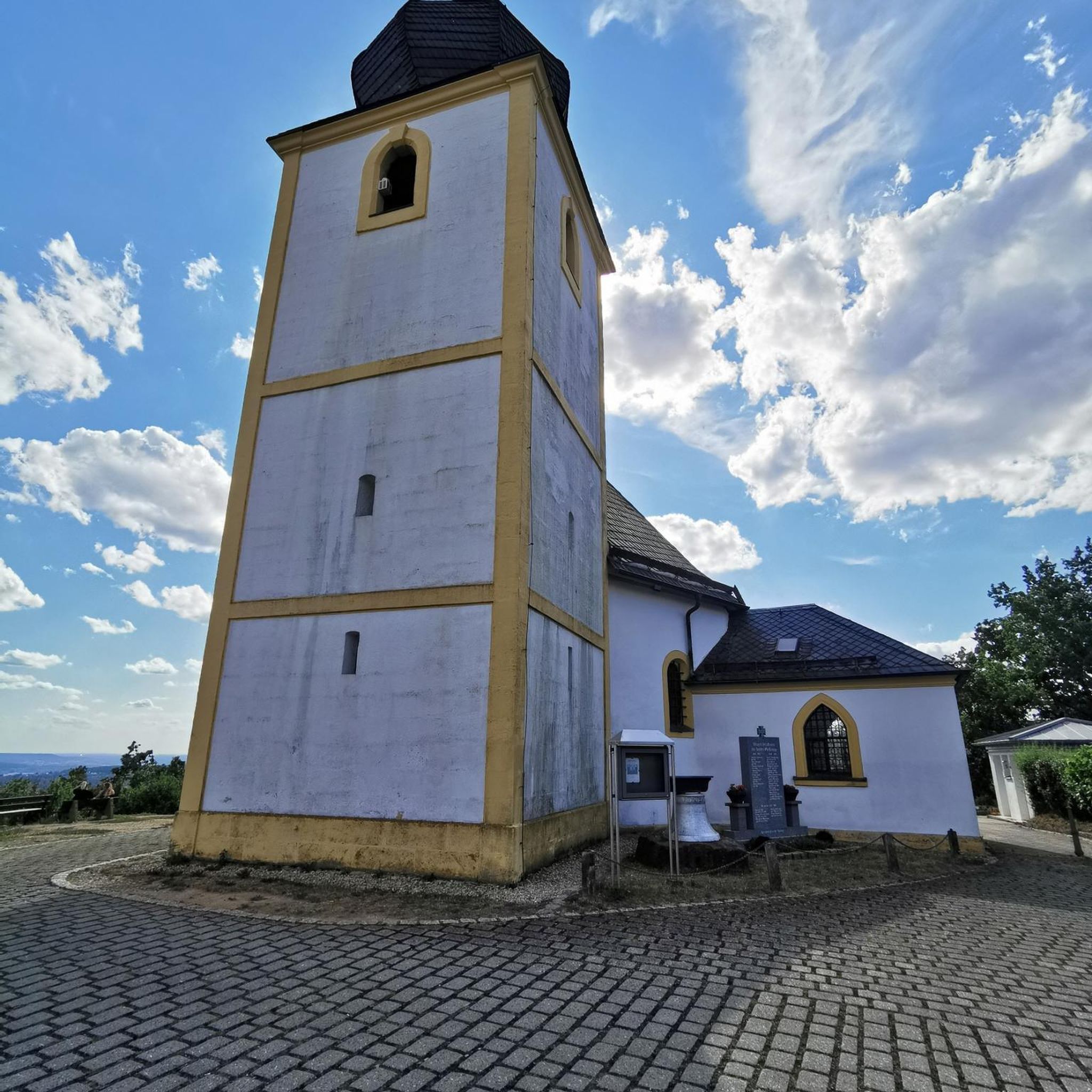
For a spectacular panoramic view of the Brière marshes, you can ascend the 135 steps of the Saint-Lyphard church bell tower. It offers a 360-degree vista stretching towards the Saint-Nazaire Bridge and the Guérande peninsula.
What do other hikers enjoy most about hiking in Saint-Lyphard?
The area is highly rated by the komoot community, with an average score of 4.4 stars from over 280 reviews. Hikers often praise the unique marshland scenery, the tranquility of the canals, and the charm of traditional thatched-roof villages like Kerhinet. The variety of easy and moderate routes also makes it appealing to a wide range of abilities.
Where can I find parking for hiking trails in Saint-Lyphard?
Many hiking circuits, especially those starting from popular points like Kerhinet village or the local leisure base, offer designated parking areas. The ports of Bréca and Pierre Fendue also serve as starting points for marsh exploration and typically have parking facilities.
Are there any traditional villages or cultural sites to visit along the hiking routes?
Absolutely. The quintessential Briéron village of Kerhinet is a must-visit. It functions as an open-air museum with restored thatched roofs and craft workshops. The Kerhinet Village – Kerhinet loop from Bréca is a 10 km trail that leads directly through this picturesque village and its surrounding marshlands.
What are some natural features to look out for in the Brière Regional Natural Park?
The Brière Marshes themselves are the main natural feature, with their vast reed beds, shimmering canals, and rich biodiversity. The Bassin du Mès to the north is a significant bird sanctuary, home to nearly 180 bird species, which can be observed from grassy embankments.
Are there any nearby attractions worth visiting after a hike?
Yes, beyond the immediate hiking trails, you can explore the picturesque Guérande Salt Marshes, known for their beauty, especially at sunset. The Merquel Point also offers coastal views and a bird observatory. For a cultural experience, the medieval town of Guérande with its historic Porte Saint-Michel is also nearby.
How many hiking trails are available around Saint-Lyphard?
There are over 45 hiking trails available around Saint-Lyphard, offering a diverse range of experiences within the Brière Regional Natural Park. These include 21 easy routes and 27 moderate routes, catering to various fitness levels.
Most popular routes around Saint-Lyphard
Most popular attractions around Saint-Lyphard

Get inspired with the komoot mobile app


Explore more
Browse the best Hikes in other regions.
