The best walks and hikes around Charrey-Sur-Seine
3.9
(37)
143
hikers
9
hikes
Hiking around Charrey-sur-Seine offers varied landscapes shaped by the Seine River and its surrounding forests. The region features a mix of woodlands and agricultural lands, with elevations ranging from 191 to 356 meters, providing gentle inclines and descents. This area is also traversed by the GR2 trail, known as the "Seine trail," which follows the river's course. The terrain provides diverse environments for outdoor exploration.
Best hiking trails around Charrey-Sur-Seine
- The most popular hiking route is Cadole in the Forest…
Last updated: August 28, 2026
4.5
(4)
29
hikers
9.61km
02:39
170m
170m
Moderate hike. Good fitness required. Easily-accessible paths. Suitable for all skill levels.
4.3
(3)
13
hikers
Easy hike. Great for any fitness level. Easily-accessible paths. Suitable for all skill levels.

Sign up for free
5.0
(3)
11
hikers
10.1km
02:43
140m
140m
Moderate hike. Good fitness required. Easily-accessible paths. Suitable for all skill levels.
4.8
(5)
6
hikers
6.48km
01:52
160m
160m
Easy hike. Great for any fitness level. Easily-accessible paths. Suitable for all skill levels.
4
hikers
6.54km
01:40
20m
20m
Easy hike. Great for any fitness level. Easily-accessible paths. Suitable for all skill levels.
Get access to more routes and recommendations from other explorers.
Sign up for free
Already have an account?
Our route recommendations are based on thousands of hikes, rides, and runs completed by other people on komoot.
Start today with a free account
Your next adventure awaits.
Login or Signup

Tips from the Community

Lac de Marcenay is artificial and was actually created by monks in 1239 for fish farming! There is also a blast furnace dating from the 18th century.
2
0
Frequently Asked Questions
What kind of terrain can I expect on hikes around Charrey-sur-Seine?
The landscape around Charrey-sur-Seine is characterized by a diverse mix of environments. You'll find extensive forests, rolling agricultural lands, and riverine paths along the Seine. Elevations range from 191 to 356 meters, meaning most trails feature gentle inclines and descents, suitable for various fitness levels.
Are there any easy hiking routes suitable for beginners or families?
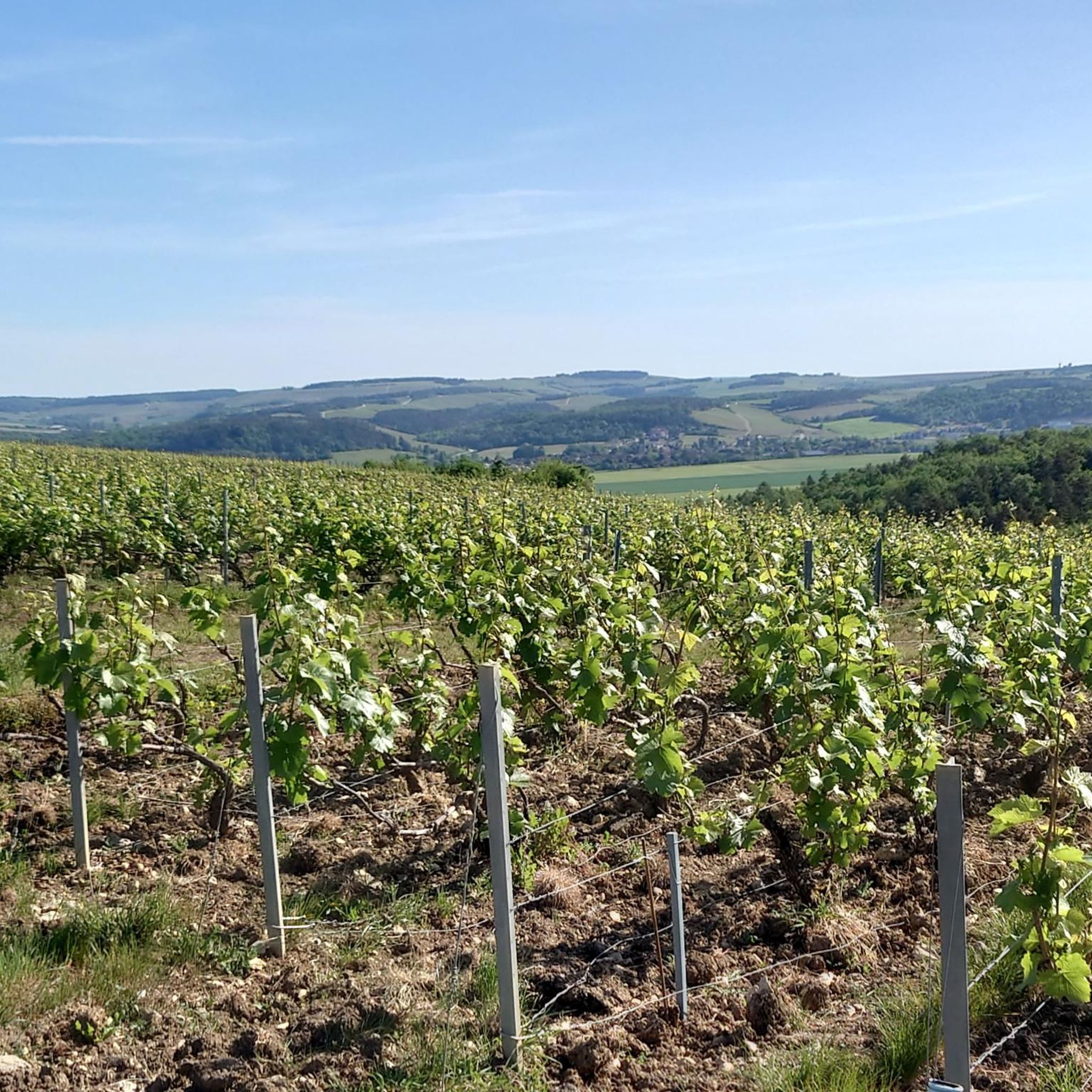
Yes, Charrey-sur-Seine offers several easy routes. For instance, the Vineyards of Les Riceys – View of wineyards loop from Émetteur des Riceys is an easy 5.8 km path offering scenic views of local vineyards. Another accessible option is the Château de Larrey loop from Poinçon-lès-Larrey, which is 6.5 km long and also rated easy.
What are some notable natural landmarks or attractions to see while hiking?
Beyond the scenic river and forest landscapes, you can explore several natural and historical points of interest. Near Châtillon-sur-Seine, the Douix Spring is a significant natural attraction often included in local hiking loops. The region also features the Seine River itself, which is a prominent natural feature.
Are there any circular hiking trails in the area?
Yes, many of the trails around Charrey-sur-Seine are designed as loops, offering convenient circular walks. Examples include the popular Cadole in the Forest – Cadoles Stone Hut loop from Courteron, a moderate 9.6 km trail, and the Lac de Marcenay loop from Larrey, a 10 km route around the lake.
Can I bring my dog on the hiking trails around Charrey-sur-Seine?
Most trails in the Charrey-sur-Seine area are dog-friendly, especially those through forests and along riverbanks. However, it's always recommended to keep your dog on a leash, particularly in agricultural areas or near wildlife, and to check for any specific local regulations or signage on individual routes.
What historical or cultural sites can I visit near the hiking routes?
The region is rich in history. Within Charrey-sur-Seine, you can discover the 19th-century Saint-Hilaire Church and traditional wash houses. Nearby, Châtillon-sur-Seine, a town of Art and History, offers numerous listed monuments including the Saint Vorles Church and the ruins of the Castle of the Dukes of Burgundy. These can often be incorporated into longer excursions or visited after a hike.
Is there public transport available to access hiking trailheads?
While Charrey-sur-Seine is a smaller commune, public transport options might be limited directly to all trailheads. It's generally advisable to plan for car access to reach the starting points of many hikes. For specific routes, checking local bus schedules or taxi services in nearby larger towns like Châtillon-sur-Seine would be recommended.
What is the best time of year to go hiking in Charrey-sur-Seine?
The region is enjoyable for hiking throughout much of the year. Spring and autumn offer pleasant temperatures and beautiful scenery, with blooming flowers or vibrant fall foliage. Summer is also suitable, especially for shaded forest trails. Winter hiking is possible, but conditions may vary, so checking local weather is always advised.
Are there any long-distance trails that pass through or near Charrey-sur-Seine?
Yes, the famous GR2 trail, also known as the "Seine trail," traces the river's course and passes through the Côte-d'Or department towards Châtillon-sur-Seine. While not directly through Charrey-sur-Seine itself, accessible sections or connecting paths are nearby, allowing you to experience a part of this significant long-distance route. You can find more information about the GR2 in Burgundy on the Burgundy Tourism website.
What do other hikers enjoy most about the trails in Charrey-sur-Seine?
The trails in Charrey-sur-Seine are highly rated by the komoot community, with an average score of 3.9 stars from over 30 reviews. Hikers often praise the quiet woodlands, the varied terrain, and the opportunity to explore both natural beauty and historical elements. The mix of riverine landscapes and forests provides a refreshing outdoor experience.
Are there options for more challenging hikes in the area?
While many routes are easy to moderate, the region does offer some trails with slightly more elevation gain or longer distances for those seeking a greater challenge. For example, the Cadole in the Forest – Cadoles Stone Hut loop from Courteron is a moderate 9.6 km trail with 168 meters of elevation gain, providing a good workout through varied forest terrain.
Most popular attractions around Charrey-Sur-Seine

Get inspired with the komoot mobile app


Explore more
Browse the best Hikes in other regions.
