The best walks and hikes around Lédat
4.5
(198)
852
hikers
88
hikes
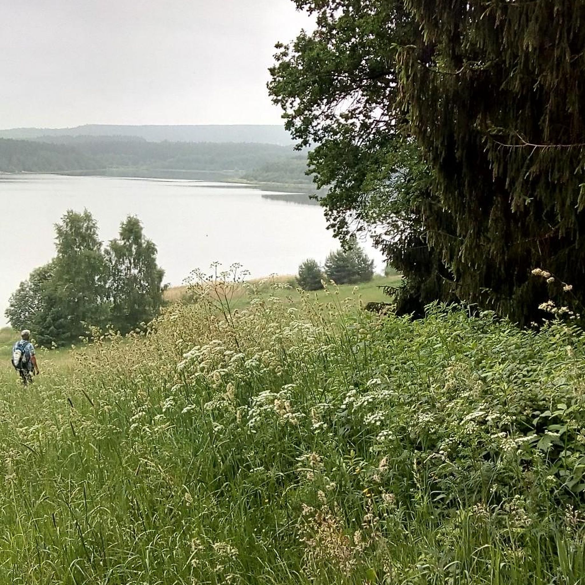
Hiking around Lédat offers diverse trails through the Lot-et-Garonne region of France. The landscape is characterized by picturesque river and stream valleys, including the prominent Lot River, alongside extensive countryside and tranquil woodlands. This varied terrain provides hikers with a range of experiences, from shaded paths to elevated sections that offer panoramic views of the surrounding area. The well-developed trail networks cater to various fitness levels.
Best hiking trails around Lédat
- The most popular hiking route is Green Metal Bridge…
Last updated: May 21, 2026
6
hikers
19.3km
05:07
200m
200m
Hard hike. Very good fitness required. Easily-accessible paths. Suitable for all skill levels.
9
hikers
5.43km
01:23
10m
10m
Easy hike. Great for any fitness level. Easily-accessible paths. Suitable for all skill levels.

Sign up for free
3
hikers
7.71km
02:06
110m
110m
Moderate hike. Good fitness required. Easily-accessible paths. Suitable for all skill levels.
4
hikers
4.72km
01:12
10m
10m
Easy hike. Great for any fitness level. Easily-accessible paths. Suitable for all skill levels.
5.0
(1)
4
hikers
8.18km
02:13
120m
120m
Moderate hike. Good fitness required. Easily-accessible paths. Suitable for all skill levels.
Get access to more routes and recommendations from other explorers.
Sign up for free
Already have an account?
Our route recommendations are based on thousands of hikes, rides, and runs completed by other people on komoot.
Start today with a free account
Your next adventure awaits.
Login or Signup


Tips from the Community


Very nice walk partly along the lot. Flat terrain
0
0

Local hiking trails are usually marked with these arrows.
0
1
Very pretty stream along the green lane
1
0
If you do this hike with the children a nice sports ground
2
1
Cenelle niquel bias markup
2
1
Frequently Asked Questions
How many hiking routes are available in Lédat?
Lédat offers a wide selection of hiking routes, with over 80 trails available. These include 36 easy routes, 38 moderate routes, and 6 more challenging options, ensuring there's something for every fitness level.
Are there easy hiking trails suitable for beginners or families in Lédat?
Yes, Lédat has numerous easy hiking trails perfect for beginners and families. For instance, the Church loop from Bias is a gentle 4.2 km (2.6 miles) path through the countryside, typically completed in just over an hour, making it ideal for a leisurely stroll.
What kind of terrain will I encounter on Lédat's hiking trails?
The hiking trails around Lédat feature diverse terrain. You can expect paths winding through serene river and stream valleys, extensive countryside, and shaded woodlands. Many routes offer varied landscapes, from flat sections along waterways to elevated areas providing scenic viewpoints.
Do any hikes offer scenic viewpoints in Lédat?
Yes, several trails in Lédat are known for their scenic outlooks. The Path and Viewpoint loop from Les Terrasses de la Lède is a moderate 7.5 km (4.7 miles) route that includes elevated sections with panoramic views. Similarly, the longer Green Metal Bridge – Path and Viewpoint loop from Lédat also offers impressive vistas.
Are there more challenging hikes for experienced hikers in Lédat?
For experienced hikers seeking a challenge, Lédat offers more demanding routes. The Green Metal Bridge – Path and Viewpoint loop from Lédat is a difficult 19.3 km (12.0 miles) trail with about 200 meters of elevation gain, taking over five hours to complete. This route provides a rewarding experience with panoramic views.
What historical landmarks or points of interest are near Lédat's hiking trails?
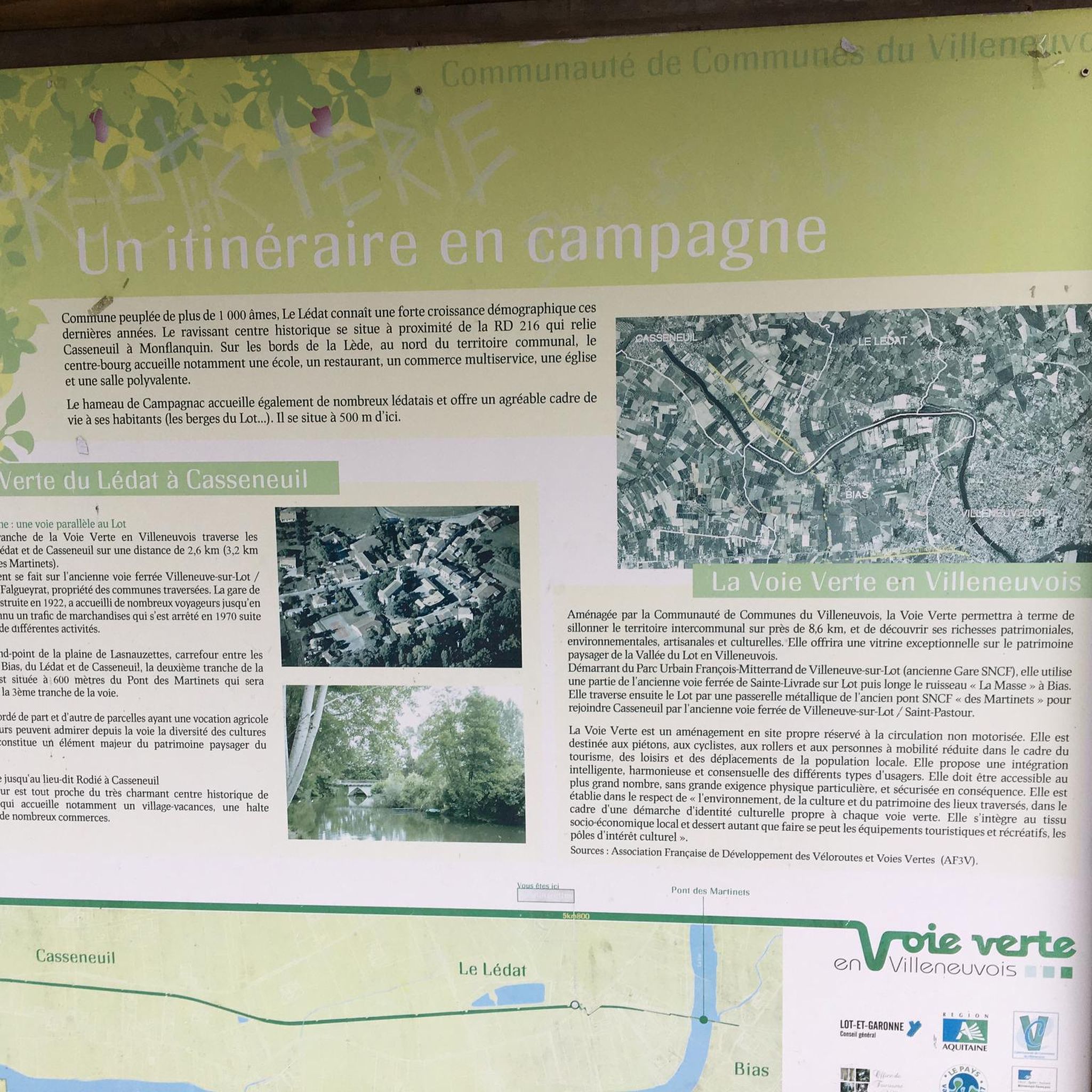
Hikers in Lédat can explore several interesting landmarks. The historic Le pont des Martinets, a metal bridge with historical significance, is a notable feature. Additionally, the medieval town of Pujols, considered one of the most beautiful villages in Lot-et-Garonne, is a nearby attraction worth visiting.
Are there circular hiking routes available in Lédat?
Yes, many of Lédat's hiking trails are designed as circular routes, allowing you to start and end at the same point. Examples include the Path and Viewpoint loop from Les Terrasses de la Lède and the Path and Viewpoint loop from Bornac Haut, both offering convenient loop options.
What do other hikers say about the trails in Lédat?
The komoot community highly rates the trails in Lédat, with an average score of 4.5 stars from over 200 reviews. Hikers often praise the diverse landscapes, from tranquil river valleys to shaded woodlands, and appreciate the variety of routes suitable for different abilities.
When is the best time of year to go hiking in Lédat?
Lédat offers hiking opportunities throughout the year. Spring and autumn provide pleasant temperatures and vibrant scenery, ideal for exploring. Summer can be warm, but many trails pass through shaded woodlands, offering respite from the sun. Winter hiking is also possible, with the landscape taking on a different, serene beauty.
Can I bring my dog on hikes around Lédat?
While specific regulations can vary, many trails in natural areas like Lédat are generally dog-friendly, especially if your dog is kept on a leash. It's always recommended to check local signage or specific route details on komoot for any restrictions before heading out with your pet.
Is parking available at trailheads in Lédat?
While specific parking information for every trailhead isn't always detailed, it's common for villages and popular starting points in regions like Lédat to have designated parking areas. We recommend checking the tour details on komoot for individual routes, as users often share information about parking availability in their comments and photos.
Most popular attractions around Lédat

Get inspired with the komoot mobile app


Explore more
Browse the best Hikes in other regions.
