The best walks and hikes around Ingrannes
4.6
(187)
872
hikers
190
hikes
Hiking around Ingrannes offers access to the expansive Forêt d'Orléans, France's largest national forest, characterized by diverse terrains including pedunculate oaks, Scots pines, and wetlands. The region features the Massif d'Ingrannes, home to the Butte de Foulaubin, a 174-meter hill that marks the highest point in the forest. Numerous ponds and lakes, such as the Étang des Liesses and Étang de la Vallée, are integrated into the landscape, providing varied natural features for hikers. This area is a designated Natura…
Last updated: July 4, 2026
4.7
(7)
24
hikers
14.7km
03:45
50m
50m
Moderate hike. Good fitness required. Easily-accessible paths. Suitable for all skill levels.
4.3
(3)
11
hikers
9.68km
02:28
20m
20m
Moderate hike. Good fitness required. Easily-accessible paths. Suitable for all skill levels.

Sign up for free
4.3
(3)
9
hikers
7.67km
01:57
20m
20m
Easy hike. Great for any fitness level. Easily-accessible paths. Suitable for all skill levels.
5.0
(1)
4
hikers
4.80km
01:15
30m
30m
Easy hike. Great for any fitness level. Easily-accessible paths. Suitable for all skill levels.
2
hikers
5.57km
01:25
20m
20m
Easy hike. Great for any fitness level. Easily-accessible paths. Suitable for all skill levels.
Get access to more routes and recommendations from other explorers.
Sign up for free
Already have an account?
Our route recommendations are based on thousands of hikes, rides, and runs completed by other people on komoot.
Start today with a free account
Your next adventure awaits.
Login or Signup

Tips from the Community

The Cheval Blanc has good country food in a rather uninspiring interior. The patron is very friendly though and the food tasty and portions generous. Table wine disappointing.
0
0

The Étang de la Vallée leisure centre is a veritable green setting, ideal for a day outdoors. This centre offers a multitude of activities for all ages: treetop adventure park for children, water activities such as canoeing, stand-up paddleboarding, and pedal boats for trips on the pond. The sandy beach, supervised in season, is ideal for swimming, while the Vallée Snack Club offers fast food for those who are hungry. For those who wish to extend their stay, a family campsite is also available.
0
0

Beautiful stretch of water to take a break. Leisure center in fine weather, you will find a beach, a picnic area, toilets and a café (open from April to October on weekends and during the week during school holidays).
0
0
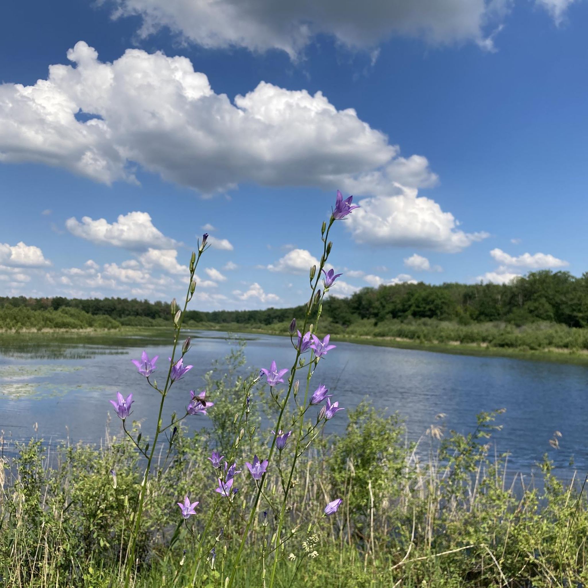
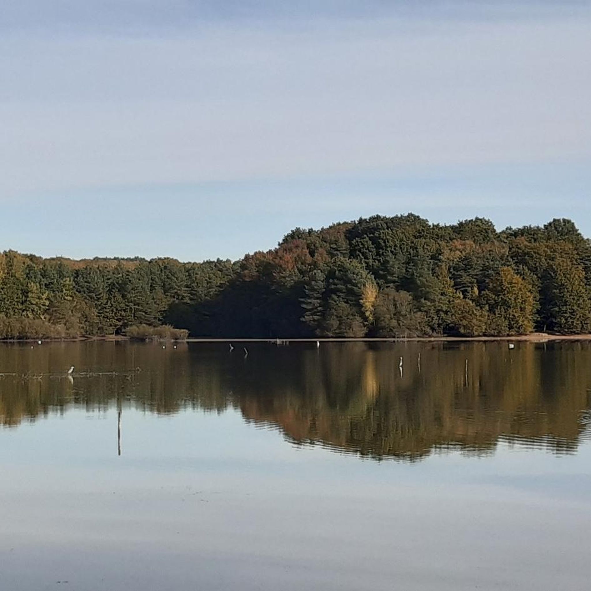
Beautiful peaceful pond, perfect for a break while hiking
0
0
The Combreux lock marks the end, to the west, of the Orléans Canal dividing reach, a section constituting the highest point of the canal. It is 39.6 meters long and 5.2 meters wide. It is not functional as is.
1
0
Very pleasant pond, suitable for swimming and fishing. An equipped beach nearby
1
0


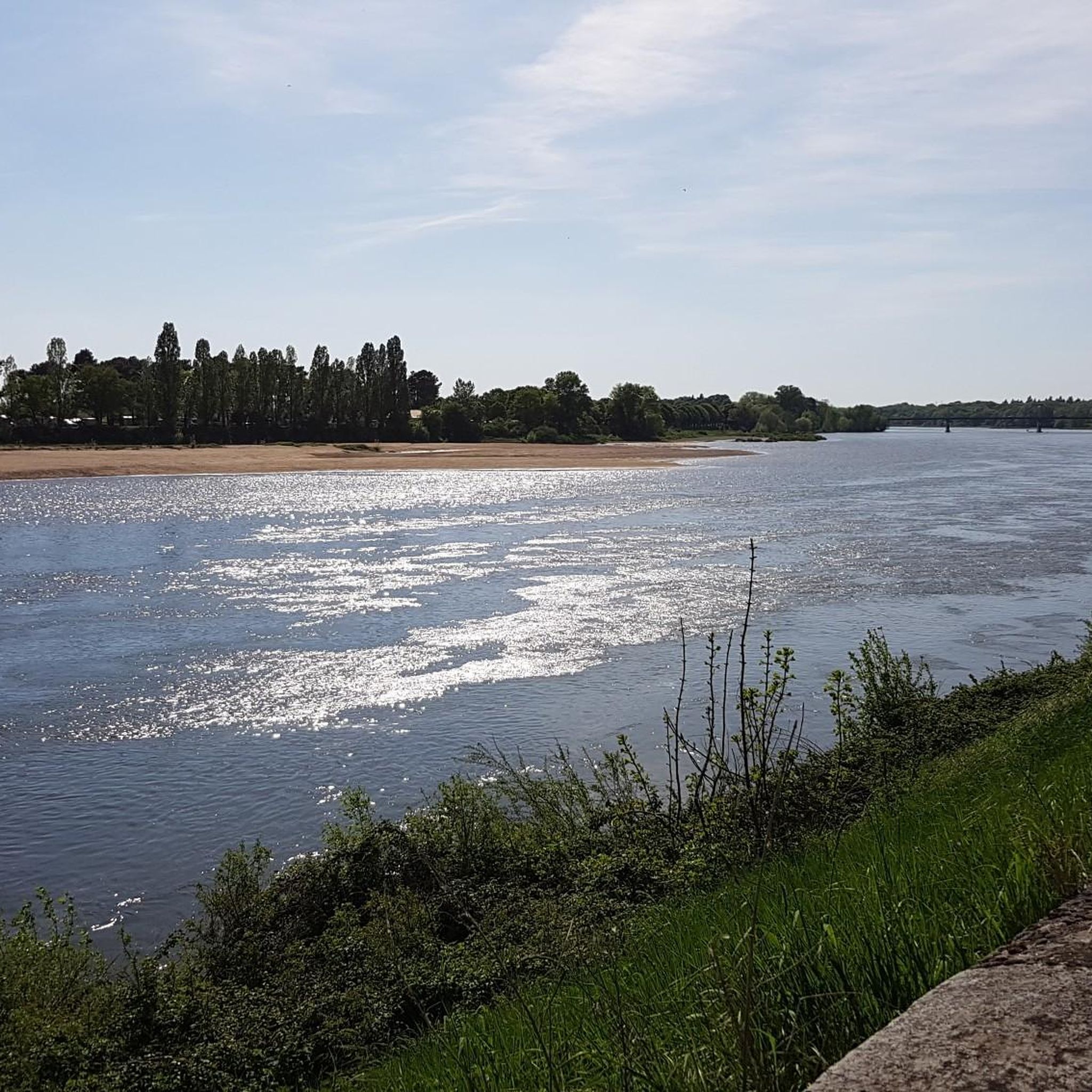
Sully-la-Chapelle is a town of almost 500 inhabitants located in the heart of the forest of Orléans, on the banks of the Cens l'Oeuf. Located on the GR 32, the town has a pretty inn, the Cheval Blanc, which offers a nice stopover before joining the Loire.
1
0
Frequently Asked Questions
How many hiking trails are available in Ingrannes?
Ingrannes offers a wide selection of outdoor adventures, with over 180 hiking trails to explore. These routes cater to various preferences, from easy strolls to more challenging excursions through the Forêt d'Orléans.
What kind of terrain can I expect on hikes around Ingrannes?
The terrain around Ingrannes is primarily characterized by the expansive Forêt d'Orléans, featuring diverse environments such as pedunculate oaks, Scots pines, and wetlands. You'll find a mix of broad, sunny avenues and narrower, shaded paths, with gentle hills and numerous ponds and lakes integrated into the landscape. The highest point in the forest, the Butte de Foulaubin, is 174 meters, indicating generally gentle elevation changes.
Are there easy hiking trails suitable for beginners or families in Ingrannes?
Yes, Ingrannes has plenty of easy hiking trails perfect for beginners or families. There are 79 easy routes available. A great option is the Étang à Madame loop from Carrefour des Cailloux, which is 3.0 miles (4.8 km) long and leads through dense woodlands and past the Étang à Madame.
What do other hikers enjoy the most about hiking in Ingrannes?
The hiking trails in Ingrannes are highly rated by the komoot community, with an average score of 4.7 stars from over 150 reviews. Hikers frequently praise the extensive forest trails, the tranquility of the numerous ponds, and the gentle hills, which offer a refreshing escape into nature.
Are there any circular hiking routes in Ingrannes?
Many of the trails in Ingrannes are designed as circular routes, allowing you to start and end at the same point. For example, the Pond area – Étang de Combreux loop from Vitry-aux-Loges is a popular moderate 9.1 miles (14.6 km) trail that takes you through forest landscapes and past significant pond areas.
What natural features or viewpoints can I discover on hikes in Ingrannes?
Ingrannes is rich in natural features. You can explore the vast Forêt d'Orléans, a Natura 2000 site, and discover serene lakes and ponds like the Étang de la Vallée. For panoramic views, the Belvédère des Caillettes in nearby Nibelle offers a 360-degree vista of the Orléans forest from its 24-meter height.
Are there any historical landmarks or attractions along the hiking trails?
Yes, the region around Ingrannes offers several historical points of interest. You can find elements of the ancient Roman road, also known as the "Chemin de César," which once traversed the commune. Additionally, nearby attractions include the Moulin-Rouge Lock and several castles such as Chamerolles Castle and Combreux Castle, which can be incorporated into your walks.
Can I bring my dog on the hiking trails in Ingrannes?
Generally, dogs are welcome on trails in the Forêt d'Orléans, but it's always recommended to keep them on a leash, especially given the forest's status as a Natura 2000 site with diverse wildlife. This ensures the safety of your pet and respects the natural habitat.
When is the best time of year to go hiking in Ingrannes?
The Forêt d'Orléans offers enjoyable hiking experiences throughout the year. Spring brings lush greenery and blooming flora, while autumn showcases vibrant fall colors. Summer is pleasant with shaded paths, and even winter offers crisp, quiet walks, making Ingrannes a year-round destination for hikers.
Are there any specific places to explore besides hiking trails?
Beyond the hiking trails, a notable attraction is the Arboretum des Grandes Bruyères, a "Remarkable Garden" spanning 14 hectares. It features over 7,000 trees, diverse botanical collections, and themed gardens like an English garden, a French garden, and a Zen garden. It's a fantastic place to visit for nature lovers.
Where can I find parking for hiking trails in Ingrannes?
Parking is generally available at various access points to the Forêt d'Orléans and near popular trailheads. Many routes, especially those starting from villages like Vitry-aux-Loges or Carrefour des Cailloux, have designated parking areas to accommodate hikers.
Most popular attractions around Ingrannes

Get inspired with the komoot mobile app


Explore more
Browse the best Hikes in other regions.
