The best walks and hikes around Mardié
4.6
(367)
2,314
hikers
226
hikes
Hiking around Mardié, located in Loiret, France, offers accessible and peaceful natural settings. The region is characterized by its proximity to the Loire River and a network of canals, providing gentle landscapes and serene riverside views. Trails often traverse flat terrain, making them suitable for various fitness levels. This area is ideal for exploring the natural beauty of the Centre-Loire Valley.
Best hiking trails around Mardié
- The most popular hiking route is Tour of Bou via Mardié, an easy…
Last updated: August 28, 2026
4.7
(16)
60
hikers
Hard hike. Very good fitness required. Easily-accessible paths. Suitable for all skill levels.
4.0
(10)
31
hikers
27.7km
07:02
70m
70m
Hard hike. Very good fitness required. Easily-accessible paths. Suitable for all skill levels.

Sign up for free
3.6
(5)
10
hikers
19.7km
05:00
60m
50m
Hard hike. Very good fitness required. Easily-accessible paths. Suitable for all skill levels.
5.0
(2)
7
hikers
12.8km
03:16
30m
30m
Moderate hike. Good fitness required. Easily-accessible paths. Suitable for all skill levels.
5.0
(2)
9
hikers
7.01km
01:46
10m
10m
Easy hike. Great for any fitness level. Easily-accessible paths. Suitable for all skill levels.
Get access to more routes and recommendations from other explorers.
Sign up for free
Already have an account?
Our route recommendations are based on thousands of hikes, rides, and runs completed by other people on komoot.
Start today with a free account
Your next adventure awaits.
Login or Signup

Tips from the Community

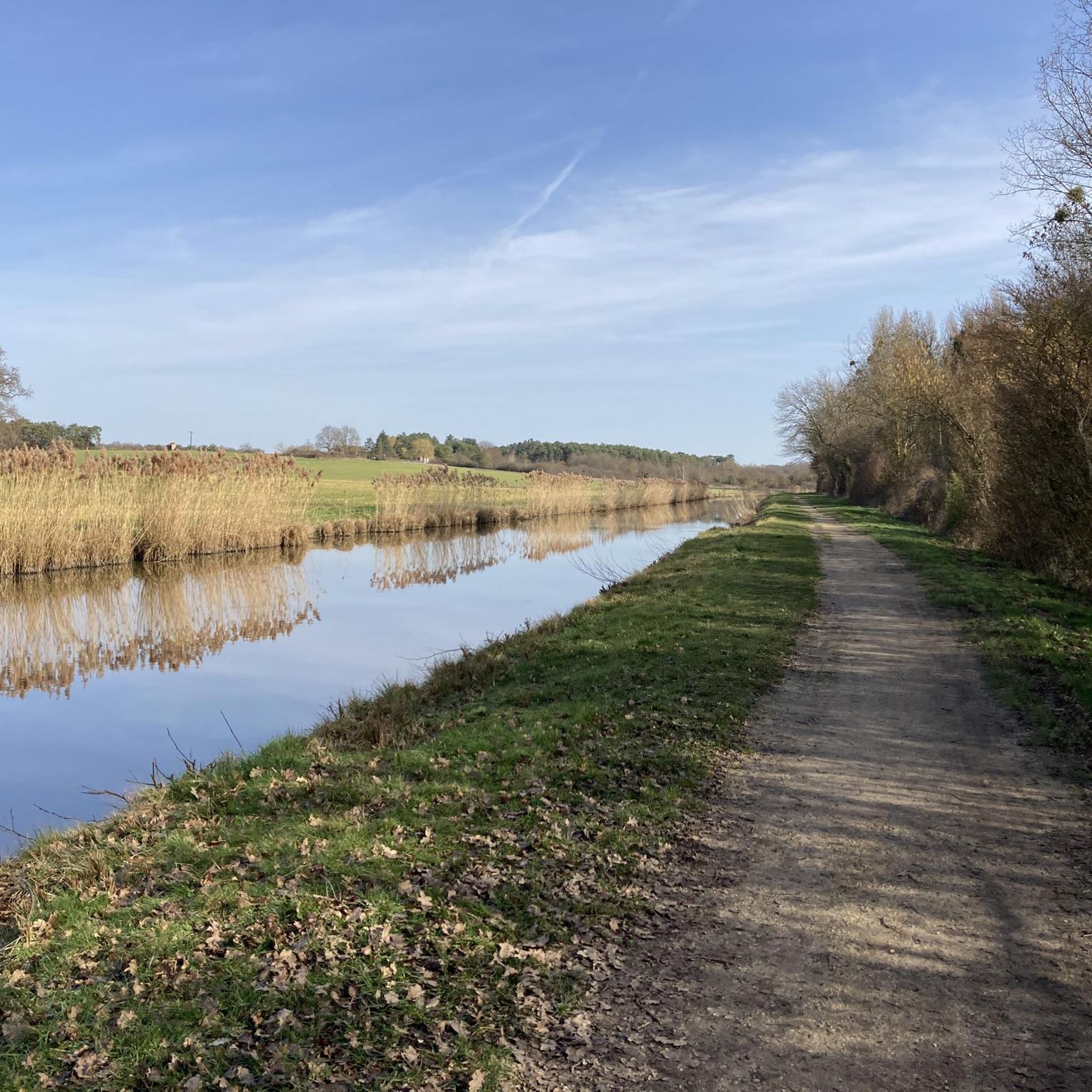
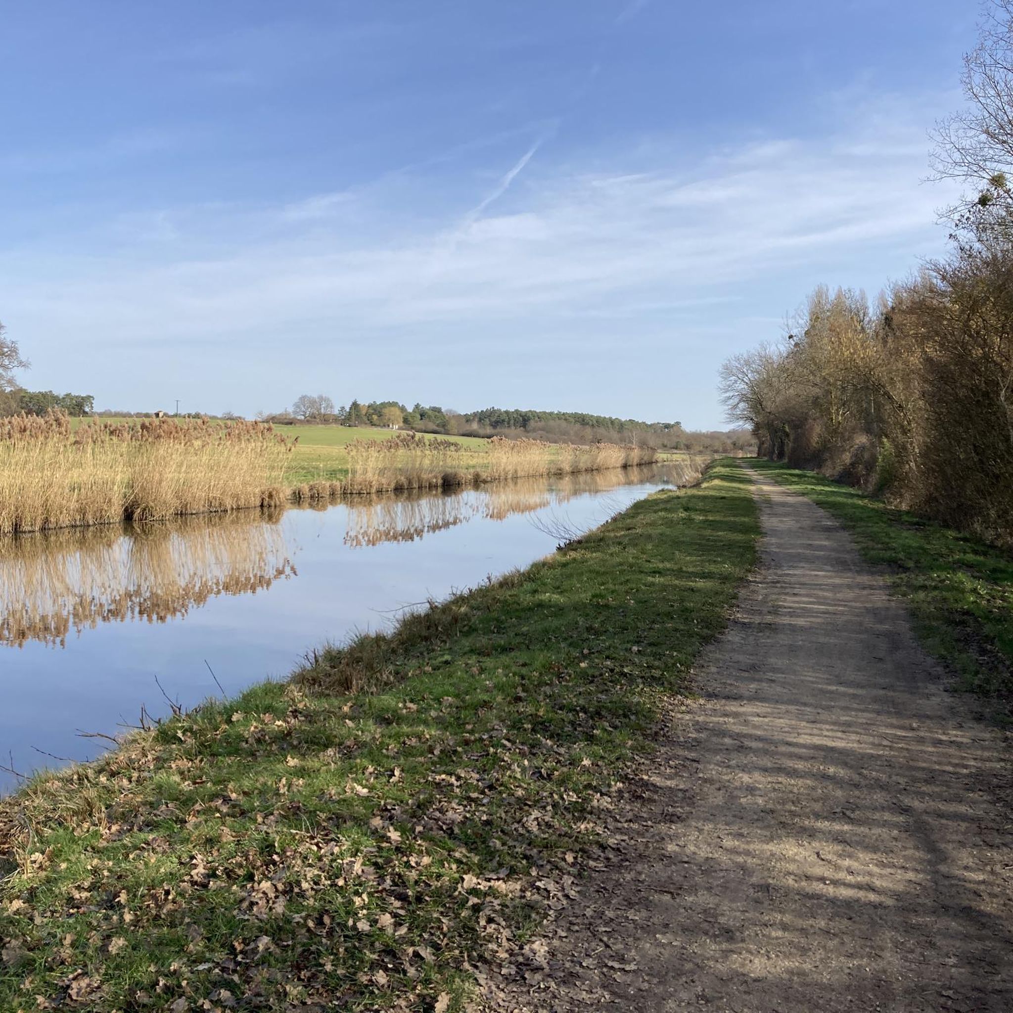
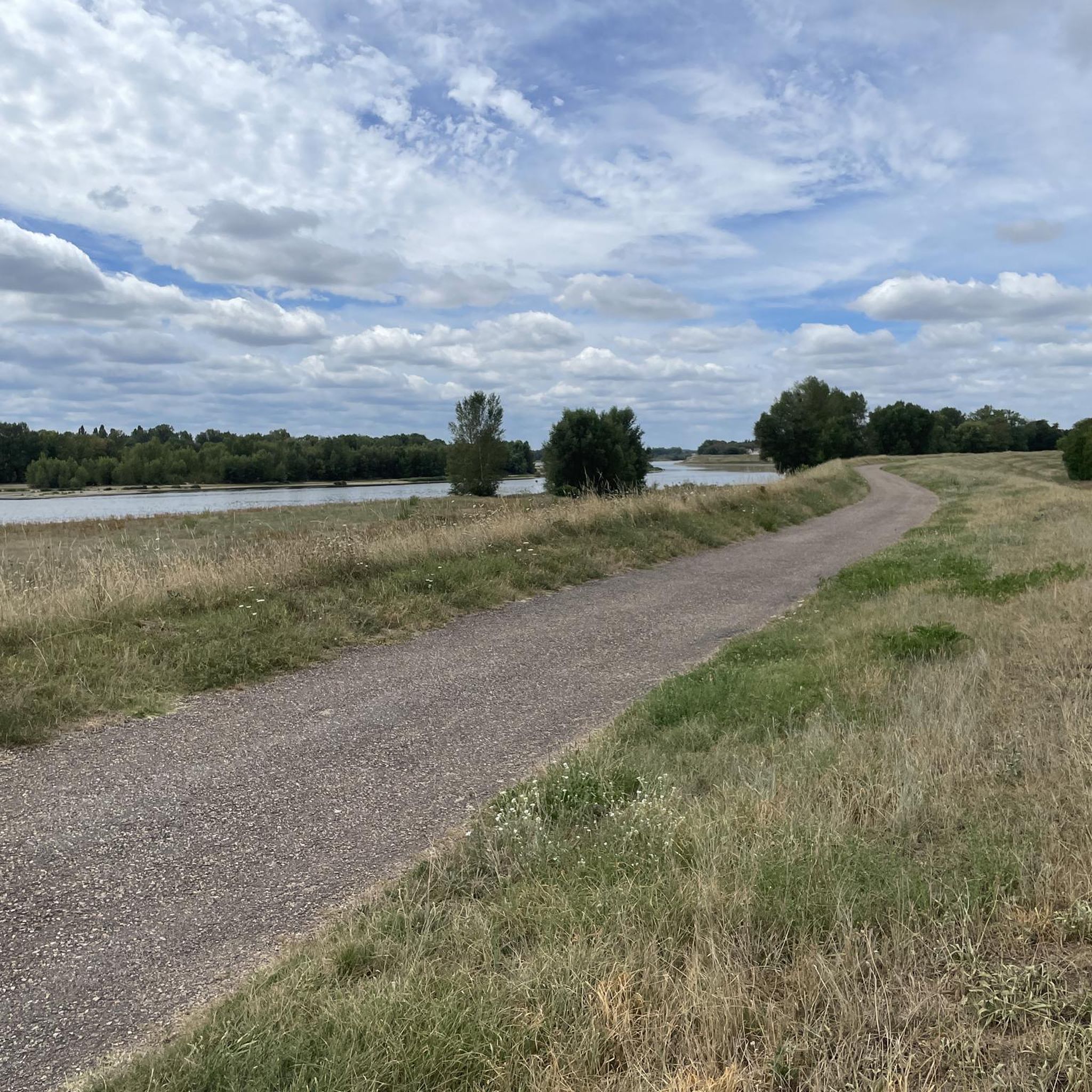
A well-maintained, wide and smooth cycle route. We move from one bank to another according to the flow of the locks that pass mile after mile. One might think that cycling along a canal plunges the cyclist into a melancholic monotony. Not this one in any case.
0
0

Ideal for picnics and children.
0
0
Near this Bridge: *Why the km 96 marker in Orléans?* (Quai du Châtelet) The km 96 marker in Orléans *corresponds neither to the distance from the source nor from the mouth of the river. It is part of a **local marking system* related to river navigation and 19th-century cartography. These markers were used to: - *Measure navigable sections* between two ports or cities (e.g., Orléans-Blois, Orléans-Tours). - *Calculate transport tariffs* for goods, as was done by "water coach plates" (the fluvial equivalent of road markers for stagecoaches).
0
0
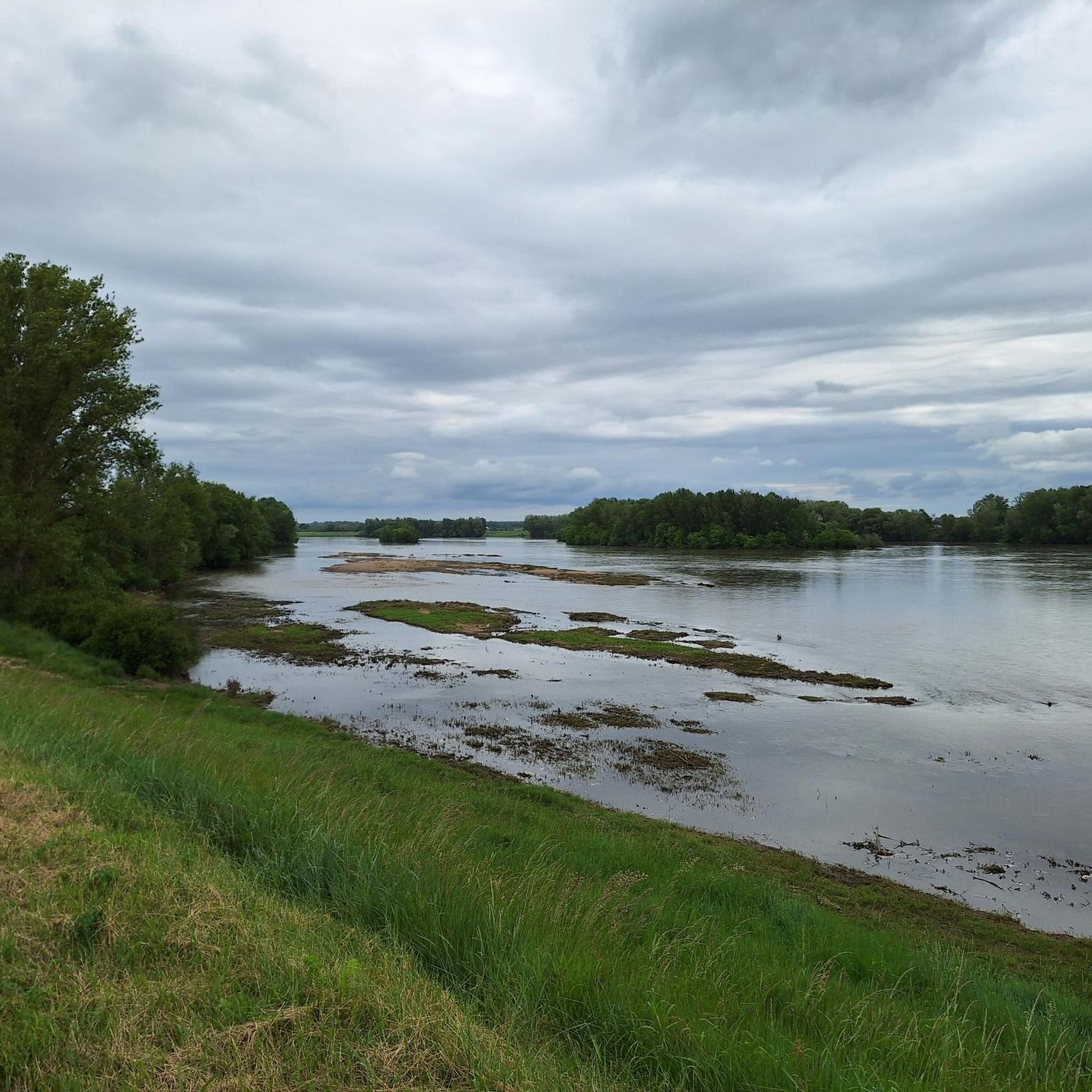
Beautiful view! A must-see: Bird Island, especially during nesting season, but be discreet...
0
0
The Orléans canal at sunrise, and the mist lifting... Magnificent! And peaceful.
0
0

Nice little place to have a coffee. However, it's €3 for a coffee...
0
0

A very beautiful walk to take on the Orléans Canal.
0
0

Great waterfront promenade to linger.
0
0
Frequently Asked Questions
How many hiking trails are available around Mardié?
Mardié offers a wide selection of hiking routes, with over 200 trails available for exploration. These routes cater to various preferences and abilities, from easy strolls to more challenging, longer itineraries. Over 2,100 hikers have already used komoot to discover the diverse terrain here.
Are there easy hiking trails suitable for beginners in Mardié?
Yes, Mardié is known for its accessible and gentle terrain, making it ideal for beginners. There are over 100 easy routes available. Many trails follow the tranquil banks of the Loire River and the Canal d'Orléans, offering flat paths and pleasant views. A great example is the Tour of Bou via Mardié, an easy 6.9 km trail that takes less than two hours.
What kind of landscapes can I expect to see while hiking in Mardié?
Hiking in Mardié offers a blend of serene riverside views, tranquil waterways, and accessible forest paths. You'll find paths along the Loire River banks, extensive networks of canals like the Canal d'Orléans, and peaceful woodlands. The terrain is generally flat, providing a relaxing experience amidst natural beauty.
Are there any circular hiking routes in Mardié?
Yes, Mardié features several circular routes that allow you to start and end your hike in the same location. These are perfect for exploring the region's natural and built heritage. For instance, the Combleux – Canal d'Orléans loop from Chécy is a moderate 9.3 km circular path that explores the scenic Canal d'Orléans.
What are some interesting landmarks or natural features to look out for on the trails?
While hiking around Mardié, you can discover several interesting points. Along the Canal d'Orléans, you might encounter the historic Pont-aux-Moines lock. The region also features beautiful black poplars in the riverside forests and offers views of the Loire River. You can also visit the Canal d'Orléans in Combleux or the Moulin-Rouge Lock.
What do other hikers enjoy the most about hiking in Mardié?
The hiking experiences around Mardié are highly rated by the komoot community, with an average score of 4.6 stars from over 300 reviews. Hikers particularly appreciate the gentle riverside paths, tranquil canal routes, and accessible forest trails. The variety of options, from easy strolls to longer routes, is also frequently praised.
Are there any longer, more challenging hikes available?
For those seeking a longer adventure, Mardié offers more challenging routes. An example is the Châteauneuf-sur-Loire Bridge – Châteauneuf-sur-Loire loop from Saint-Denis-de-l'Hôtel, a 19.8 km trail leading through riverside areas, which typically takes around 5 hours to complete.
Can I bring my dog on the hiking trails in Mardié?
Many trails in Mardié are suitable for dogs, especially those along the canal towpaths and through the forests, where the terrain is generally flat and well-maintained. It's always recommended to keep your dog on a leash and be mindful of local regulations, especially in nature reserves or agricultural areas.
What is the best time of year to go hiking in Mardié?
Mardié is enjoyable for hiking throughout much of the year. Spring and autumn offer pleasant temperatures and beautiful scenery, with blooming flora or vibrant fall colors. Summer is also suitable, particularly for walks along the shaded canal paths or the Loire River banks. During summer, you can explore the 'grèves' (sandy or pebbly banks) when the river levels are lower.
Are there any places to explore near the hiking trails?
Yes, beyond the trails, you can explore charming settlements like Combleux, known for its picturesque setting along the Canal d'Orléans. The broader region also offers historical sites such as the Sainte-Croix d'Orléans Cathedral and the Isle Castle, providing cultural enrichment alongside your outdoor activities.
Are there any lakes or ponds near the hiking routes?
Yes, the region around Mardié features several beautiful lakes and ponds that can be explored. Notable spots include the Courpain Nature Reserve, Île Charlemagne Pond, and Grand Étang. These areas often provide additional opportunities for relaxation and enjoying nature.
Most popular attractions around Mardié

Get inspired with the komoot mobile app


Explore more
Browse the best Hikes in other regions.
